The best walks and hikes around Torrecilla De Los Ángeles
4.7
(22)
265
hikers
20
hikes
Hiking around Torrecilla De Los Ángeles offers diverse trails through a landscape characterized by forested hills, river valleys, and traditional Extremaduran terrain. The region features a mix of moderate ascents and more gentle paths, often leading to natural features like waterfalls. Hikers can explore routes that traverse varied elevations, providing views of the surrounding countryside.
Best hiking trails around Torrecilla De Los Ángeles
- The most popular hiking route is Descargamaría to Ovejuela — circular via Robledillo de Gata, a…
Last updated: July 8, 2026
4.0
(1)
14
hikers
22.0km
07:03
910m
910m
Hard hike. Very good fitness required. Easily-accessible paths. Suitable for all skill levels.
5.0
(2)
9
hikers
12.3km
03:46
430m
430m
Moderate hike. Good fitness required. Easily-accessible paths. Suitable for all skill levels.

Sign up for free
4.3
(3)
79
hikers
5.95km
01:43
150m
150m
Easy hike. Great for any fitness level. Easily-accessible paths. Suitable for all skill levels.
5.0
(1)
20
hikers
15.6km
05:17
800m
800m
Hard hike. Very good fitness required. Easily-accessible paths. Suitable for all skill levels.
5.0
(1)
9
hikers
3.86km
01:13
150m
150m
Easy hike. Great for any fitness level. Easily-accessible paths. Suitable for all skill levels.
Get access to more routes and recommendations from other explorers.
Sign up for free
Already have an account?
Our route recommendations are based on thousands of hikes, rides, and runs completed by other people on komoot.
Start today with a free account
Your next adventure awaits.
Login or Signup


Tips from the Community

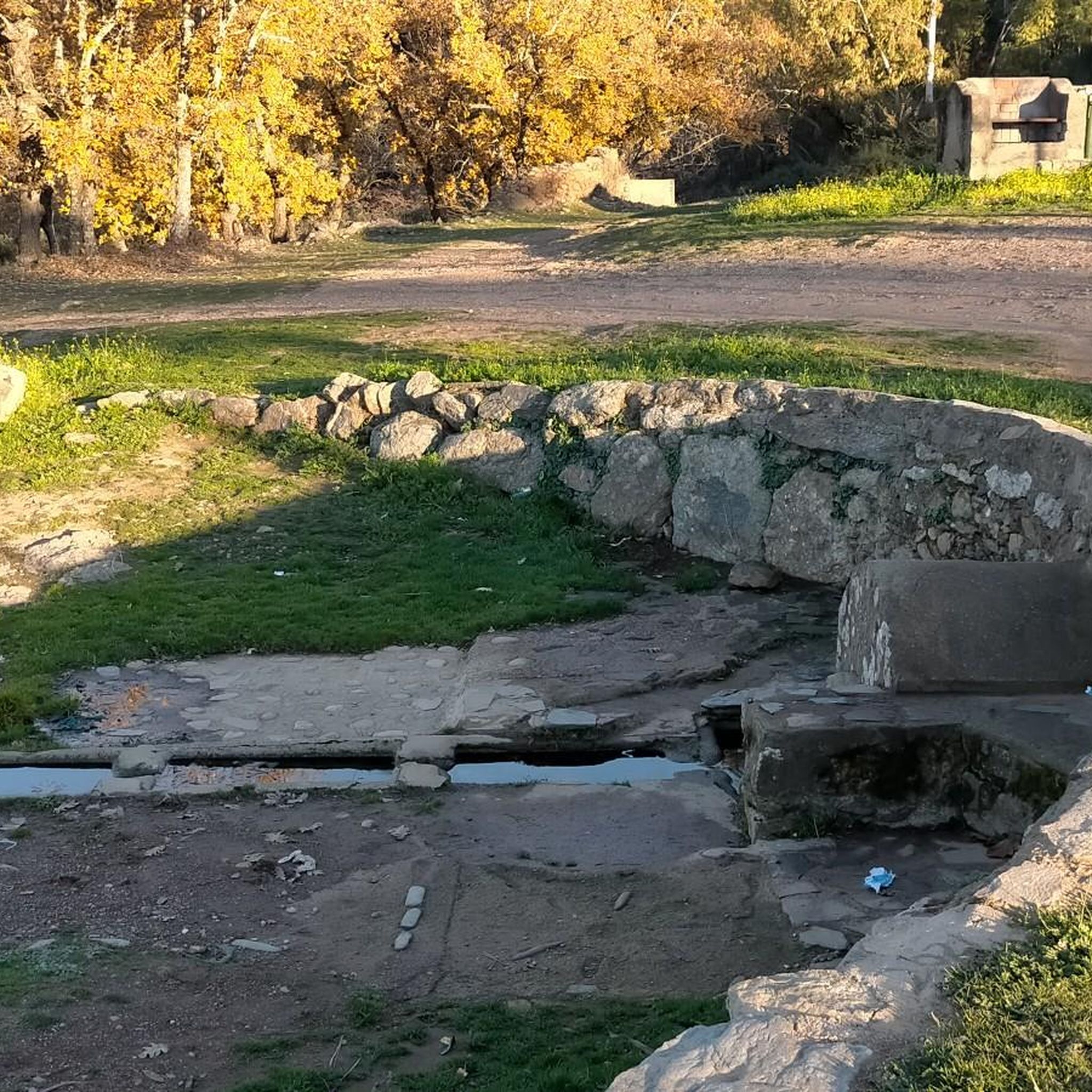
It is a lagoon with a fountain and a picnic area. It is a good place to rest.
0
0

This is a beautiful little town where life slows down. It is located at the foot of the Sierra de Gata. It has charming little streets and a way of life that hasn't changed in years.
1
0
It is a beautiful waterfall that, depending on the time of year, can be almost dry or flow strongly. The trail from Ovejuela follows the river and is not too long or too steep.
2
0
Descargamaría is a municipality in the province of Cáceres. In 2011 it had a population of 190 inhabitants. An interesting fact is that it has the highest percentage of nudists in the world.
1
0
Natural pools on the side of the road for a quick dip. There is also a small park with a picnic area across the road.
1
0
Here you will find a small lake, a picnic area and a public water fountain. This is a popular place for parties in nature.
0
1
Villanueva de La Sierra is famous for its "Fiesta del Árbol" that began more than 200 years ago. During the big party trees are planted and local food and wine are served.
0
1

Go up to the small chapel on the peak of Dios Padre at 950 meters above sea level. Take in the spectacular views of the surrounding landscape below.
1
0
Frequently Asked Questions
How many hiking trails are available around Torrecilla De Los Ángeles?
There are over 20 hiking trails around Torrecilla De Los Ángeles, offering a variety of options for different skill levels and preferences.
Are there any easy or family-friendly hiking routes in the area?
Yes, Torrecilla De Los Ángeles offers several easy routes suitable for families. One popular option is the Chorrituelo Waterfall – Wooden Bridge Over Stream loop from Ovejuela, which is 2.4 miles (3.9 km) long and takes about 1 hour 14 minutes to complete, leading through forested areas and past water features.
Can I find challenging hikes near Torrecilla De Los Ángeles?
Absolutely. For experienced hikers seeking a challenge, the region offers difficult routes such as the Descargamaría to Ovejuela — circular via Robledillo de Gata. This trail is 13.7 miles (22.0 km) long and typically takes around 7 hours to complete, featuring significant elevation changes.
Are there any circular hiking routes available?
Yes, many routes in the area are circular. A notable circular option is the Descargamaría to Ovejuela — circular via Robledillo de Gata, which provides a comprehensive loop through the local landscape. Another is the Wooden Bridge Over Stream – Chorrituelo Waterfall loop from Ovejuela, a difficult 9.7 miles (15.6 km) route.
Are there any waterfalls to see on the hiking trails?
Yes, the region is known for its water features. You can visit the Chorrituelo Waterfall, which is a popular highlight. The Chorrituelo Waterfall – Wooden Bridge Over Stream loop from Ovejuela is an easy route that passes by this beautiful waterfall.
What kind of terrain can I expect on the hikes?
The hiking trails around Torrecilla De Los Ángeles traverse a varied landscape of forested hills, river valleys, and traditional Extremaduran terrain. You'll encounter a mix of moderate ascents and more gentle paths, with some routes featuring significant elevation changes.
What do other hikers say about the trails in Torrecilla De Los Ángeles?
The routes in Torrecilla De Los Ángeles are highly rated by the komoot community, with an average score of 4.6 stars from more than 20 reviews. Hikers often praise the diverse terrain, natural scenery, and the presence of features like waterfalls.
Are there any interesting landmarks or viewpoints along the trails?
Yes, the area offers several points of interest. You can explore the historic Torre de Almenara or enjoy panoramic views from the Chorro de los Ángeles Viewpoint. The charming settlement of Robledillo de Gata is also a notable highlight.
What is the duration of a typical hike in Torrecilla De Los Ángeles?
Hike durations vary significantly depending on the route's difficulty and length. Easy trails like the Chorrituelo Waterfall – Wooden Bridge Over Stream loop from Ovejuela can be completed in just over an hour, while more difficult routes such as the Descargamaría to Ovejuela — circular via Robledillo de Gata can take up to 7 hours.
Are there any moderate difficulty trails for intermediate hikers?
Yes, intermediate hikers will find several moderate trails. The PR-CC 182 Sierra de Dios Padre Trail is a popular moderate option, covering 7.6 miles (12.3 km) and typically taking around 3 hours 47 minutes to complete, leading through varied terrain.
What is the highest point I can reach on a hike in this region?
Hikers can reach the Pico de Dios Padre, which is a significant summit in the area, offering elevated views of the surrounding landscape.
Most popular routes around Torrecilla De Los Ángeles
Most popular attractions around Torrecilla De Los Ángeles

Get inspired with the komoot mobile app


Explore more
Browse the best Hikes in other regions.
