The best running trails around Navalacruz
5.0
(1)
65
runners
14
runs
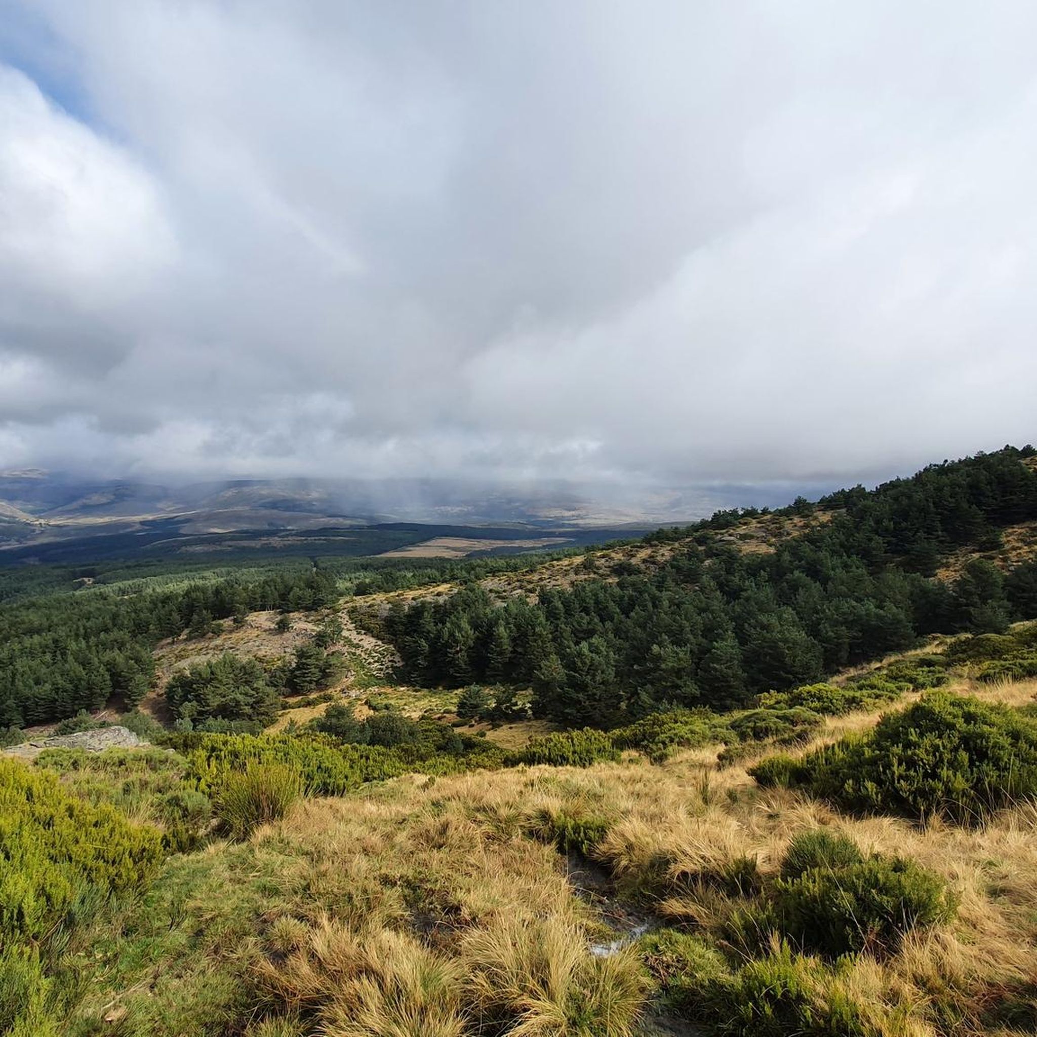
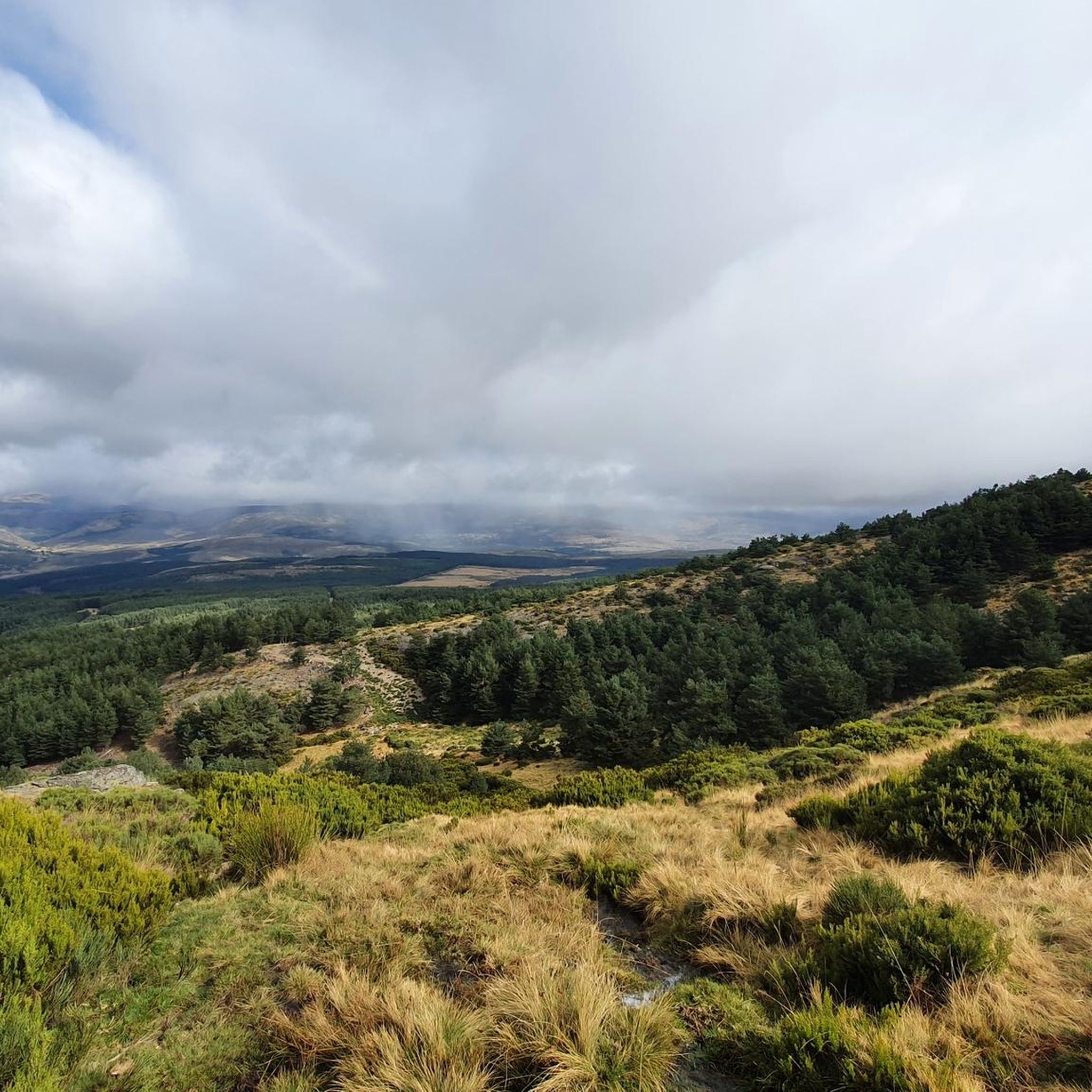
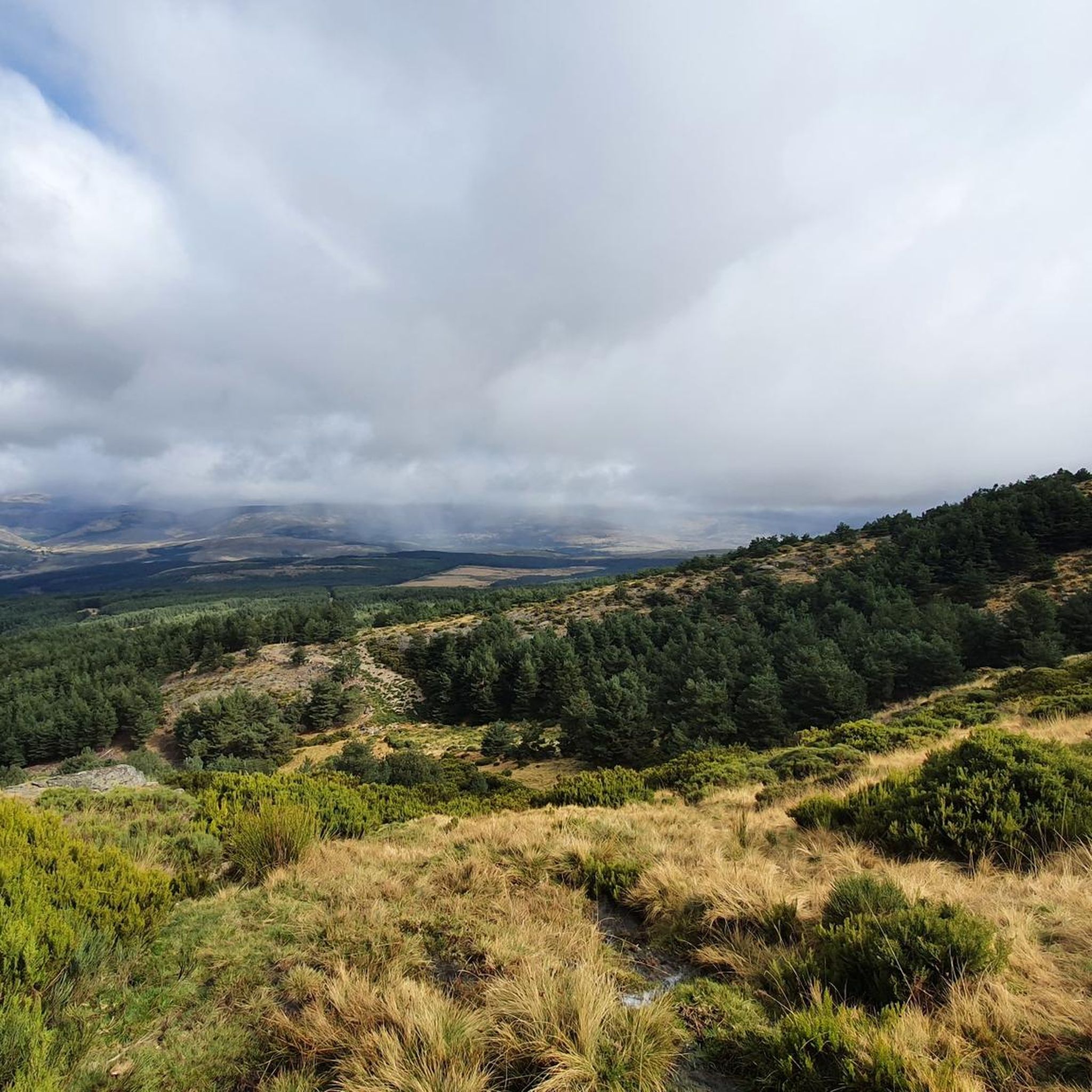
Jogging around Navalacruz offers diverse terrain within the province of Ávila, Spain. Situated at 1238 meters above sea level, the area is characterized by the Sierra de la Paramera to the north and the Sierra de Gredos to the south, providing a mountainous backdrop. The landscape features forests, dehesas, and the Chiquillo stream, creating varied running environments. These natural elements contribute to a range of jogging routes suitable for different fitness levels.
Best jogging routes around Navalacruz
- The most popular…
Last updated: June 28, 2026
13.0km
01:52
520m
520m
Hard run. Very good fitness required. Sure-footedness, sturdy shoes and alpine experience required.
21
runners
19.0km
02:52
950m
950m
Hard run. Very good fitness required. Mostly paved surfaces. Suitable for all skill levels.

Sign up for free
6
runners
6.30km
00:44
110m
110m
Moderate run. Good fitness required. Mostly paved surfaces. Suitable for all skill levels.
9
runners
10.6km
01:46
690m
690m
Hard run. Very good fitness required. Mostly paved surfaces. Suitable for all skill levels.
4
runners
10.1km
01:13
240m
240m
Moderate run. Good fitness required. Mostly paved surfaces. Suitable for all skill levels.
Get access to more routes and recommendations from other explorers.
Sign up for free
Already have an account?
Our route recommendations are based on thousands of hikes, rides, and runs completed by other people on komoot.
Start today with a free account
Your next adventure awaits.
Login or Signup

Tips from the Community

Manqueospese Castle, also known as "Althoughospese," is located in the municipality of Mironcillo, Ávila, at an altitude of 1,360 meters, overlooking the Amblés Valley. This castle is an example of a European mountain fortress, with strong walls adapted to the rocky terrain. Construction of the castle began in the 15th century by the Dávila family and was completed by Esteban Dávila in the 16th century. The castle is surrounded by legends, including stories of unrequited love and rivalries between knights. Its name, "Manqueospese," is said to come from the expression "although it weighs on you," which is related to these legends. From its privileged position, the castle offers stunning views of the Amblés Valley and the walls of Ávila. Although it is currently in ruins, restoration and cleaning work are underway.
5
0

According to legend, the castle would be built by Don Raimundo, to communicate with his beloved Doña Guiomar, locked in the balcony that crowns the door of the Rastro (in Ávila, access through the Dávila house), given the prohibition of her father. for the couple to continue their love affairs. Given the paternal attitude, Don Raimundo exclaimed: "I'll see her manqueospese" or "I'll see her even though she weighs", and it was then that he built his castle, from which he apparently communicated with his beloved Guiomar.
1
0

Population that is located at the foot of the northern side of the Sierra de Panamera and that on one of its sides is the Castillo de Manqueospese. As it is surrounded by mountains, as soon as you get up, you can see the entire core.
0
0
Villanuerva de Ávila is a town famous for its neighborhoods, some of which still have traditional architecture. The center is located in the Albarchete Valley.
1
0
Impressive castle that is located close to the town of Sotalbo and that has a scene worthy of a movie. The walls and towers create a beautiful image on a hill!
1
0
The Río de la Garaganta descends through this valley that has formed over the years and that lets us see how the Sierra de Panamera peaks rise behind us.
1
0

The unique granite landscape is the result of the mineral composition, climatic changes and the weathering of the rock surfaces, giving rise to suggestive modeling forms. The most striking process is the slabs, the boats, the corridors and alleys and the granular disintegration, creating an authentic labyrinth of stone sculptures. To the west, at the headwaters of the Adaja River, the white reliefs of La Serrota emerge. The path follows the ridge and collides with the top pyramid of Zapatero in a clear hill where the ascent to the top begins on the southwest face. The ascent is marked with stone milestones. The ice and the amount of snow will determine the technical level of the ascent. First there is a rocky step to a wide and comfortable shoulder, where the final attack begins through a channel that leads to the access passage to the geodesic vertex through a kind of tunnel. The views from the top of the remaining section of the rope are breathtaking between large granite domes and giant speedboats, but it is actually easier than the previous section and almost all descent. The descent of the peak is along the east face, to a pass where the Path of Zapatero climbs from the left from Sotalvo.
2
0

patient the climb
1
0
Frequently Asked Questions
How many running routes are available around Navalacruz?
There are over 10 dedicated running routes around Navalacruz, offering a variety of experiences for different fitness levels. The region's diverse terrain, from mountainous paths to wooded dehesas, provides ample choice for your next run.
What kind of terrain can I expect on the running trails in Navalacruz?
The running trails in Navalacruz feature diverse terrain. You'll find mountainous paths, especially in the Sierra de la Paramera and Sierra de Gredos, alongside routes through forests and dehesas (wooded pastures). The presence of the Chiquillo stream also offers opportunities for riverside paths.
Are there any easy or moderate jogging routes in the area?
Yes, while many routes offer a challenge, there are moderate options available. For instance, the Running loop from Burgohondo is a moderate 6.3 km path, and the Villanueva de Ávila loop from Villanueva de Ávila is another moderate 10.1 km trail that takes you through wooded pastures.
What are some of the more challenging running trails around Navalacruz?
For experienced runners seeking a challenge, Navalacruz offers several difficult trails. The Sotalbo and Manqueospese Castle Loop is an 8.1-mile (13.0 km) route with significant elevation gain. Another demanding option is the Pico Zapatero – Molino de Enmedio loop from Sotalbo, an 11.8-mile (19.0 km) path ascending towards Pico Zapatero.
Are there any circular running routes available?
Yes, many of the running routes around Navalacruz are circular, allowing you to start and finish in the same location. For example, the Pico Zapatero loop from El Collado is a challenging 10.6 km circular route offering expansive views.
What interesting sights or landmarks can I see along the running trails?
Many running trails offer stunning natural landmarks and points of interest. You might encounter summits like Pico Zapatero or Serrota, and mountain passes such as Portacho del Cuchillo. The region also features the charming settlement of Villanueva de Ávila and the historic Stone Bridge of San Martín del Pimpollar.
Are there running routes that offer panoramic views?
Absolutely. Given Navalacruz's elevation and location between the Sierra de la Paramera and Sierra de Gredos, many routes provide breathtaking panoramic views. Trails ascending towards high points like Pico Zapatero or passing through areas like Puerto de Navalacruz are particularly rewarding for their expansive vistas.
What do other runners say about the trails in Navalacruz?
The running trails in Navalacruz are highly rated by the komoot community, with an average score of 5.0 stars. Runners often praise the varied terrain, the beautiful natural surroundings, and the sense of accomplishment from tackling the mountainous paths.
Are there shaded running paths, especially during warmer months?
Yes, the region includes extensive forests and dehesas (wooded pastures), such as the Navalacruz forest. These areas provide natural shade, offering a refreshing environment for jogging, particularly beneficial during sunnier periods.
Are there any areas suitable for a post-run relaxation or picnic?
Yes, La Dehesa de Navalacruz is a notable area where nature and sports converge. It features well-maintained spaces including a natural swimming pool, sports fields, and picnic areas, making it an ideal spot for relaxation and recovery after your run.
Is parking available near the trailheads?
While specific parking details for every trailhead are not always listed, Navalacruz is a municipality well-suited for outdoor activities. Generally, you can find parking in or near the villages that serve as starting points for many routes, such as Sotalbo or Villanueva de Ávila.
What is the best time of year to go running in Navalacruz?
The diverse landscape of Navalacruz makes it suitable for running throughout much of the year. Spring and autumn offer pleasant temperatures and vibrant scenery. Summer mornings and evenings can also be enjoyable, especially on shaded routes. Winter running is possible, but be prepared for cooler temperatures and potentially snow at higher elevations.
Most popular attractions around Navalacruz

Get inspired with the komoot mobile app


Explore more
Browse the best Running Trails & Routes in other regions.
