The best walks and hikes around Navalacruz
4.3
(14)
156
hikers
25
hikes
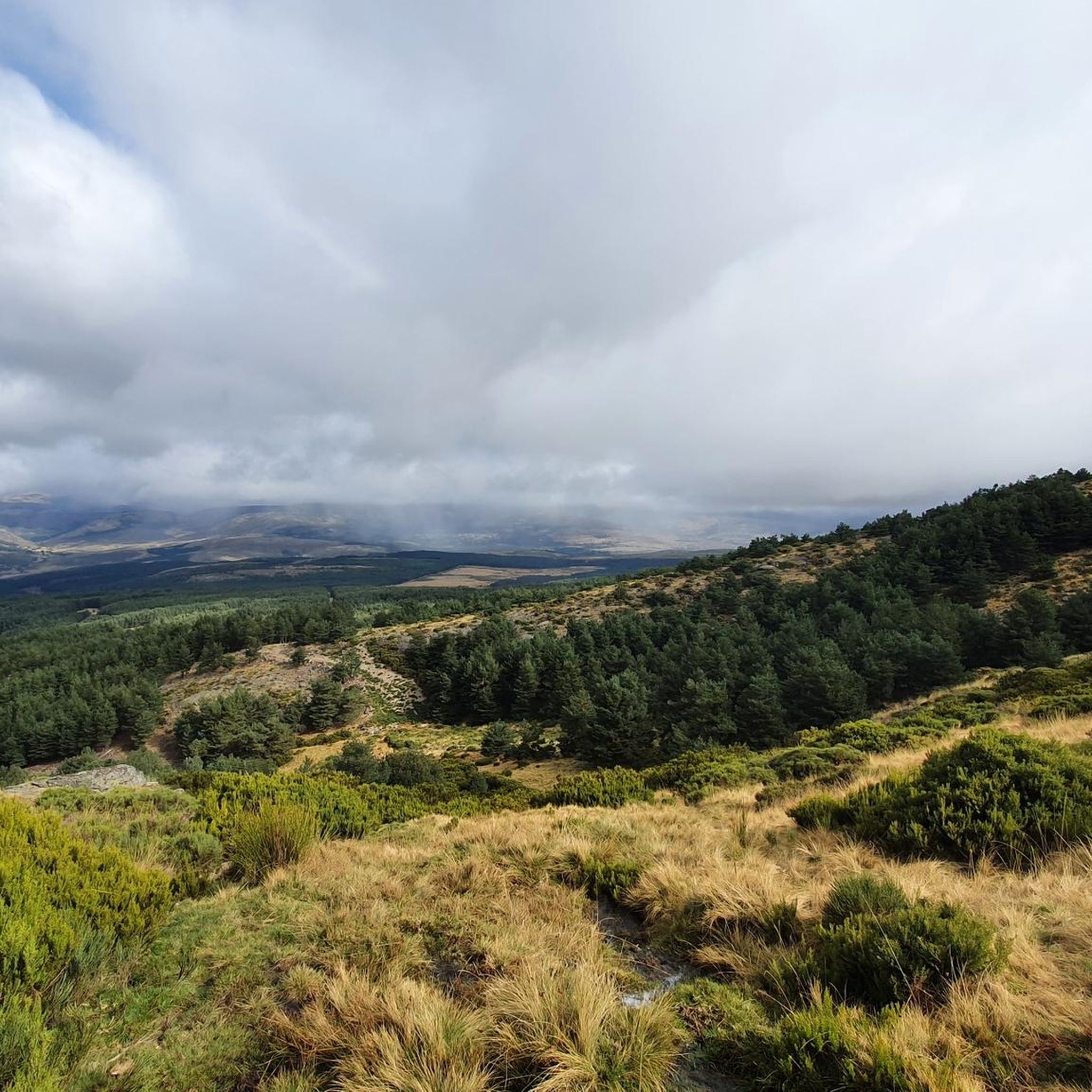
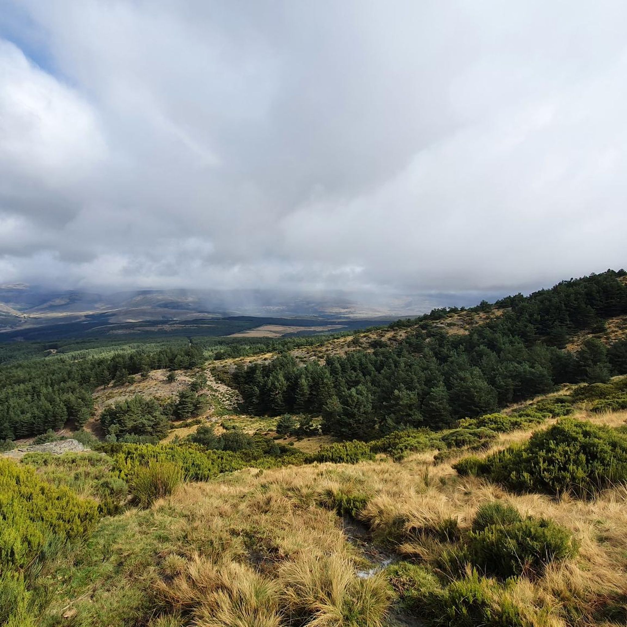
Hiking around Navalacruz offers access to diverse landscapes situated between the Sierra de la Paramera and the Sierra de Gredos within the Ávila province. The region features dramatic mountainous terrain, characterized by granite formations, deep valleys, and glacial cirques. Landscapes vary from alpine meadows and high-altitude scrub to forests of oak, pine, and chestnut at lower elevations.
Best hiking trails around Navalacruz
- The most popular hiking route is Pico Zapatero Circular Trail, a 9.3 miles (14.9 km) trail that…
Last updated: June 25, 2026
4.0
(2)
21
hikers
14.9km
04:53
750m
750m
Hike the moderate 9.3-mile Pico Zapatero Circular Trail, gaining 2461 feet for panoramic views of the Sierra de Guadarrama and Gredos.
5.0
(1)
3
hikers
15.7km
04:30
380m
380m
Hike the moderate 9.8-mile La Cendra del Espino Trail (PRC-AV 12) through ash and oak forests, passing natural springs and historic bridges.

Sign up for free
9
hikers
20.0km
06:32
920m
920m
Hard hike. Very good fitness required. Easily-accessible paths. Suitable for all skill levels.
2
hikers
10.9km
03:07
250m
250m
Hike the moderate Las Chorreras de San Martín del Pimpollar Trail to discover waterfalls, bridges, and stunning Sierra de Gredos views.
4.0
(1)
1
hikers
11.2km
03:09
230m
230m
Moderate hike. Good fitness required. Mostly accessible paths. Sure-footedness required.
Get access to more routes and recommendations from other explorers.
Sign up for free
Already have an account?
Our route recommendations are based on thousands of hikes, rides, and runs completed by other people on komoot.
Start today with a free account
Your next adventure awaits.
Login or Signup


Tips from the Community

A beautiful town with views of the Gredos Mountains. Bike-friendly accommodations are available at the "Las Cuatro Calles" house.
0
0

Small town in Avila near the provincial capital located north of the Gredos mountain range. It is an ideal access point to the roads that circle the natural park. It can be a good resting point during an adventure, as it has a bar and a public fountain.
0
0

The trail south of the town of San Martín del Pimpollar reaches an excellent spot for wild swimming. Are you brave enough to get your toes wet?
2
0
Section of the GR-10 between Navarrevisca - Puerto El Pico in the foothills of the northern mountain range of Gredos. This rural land is beautiful, quiet and desolate.
2
0
In the foothills of the Ávila mountain range, between Puerto de Menga and Puerto de Pico you reach the charming town of San Martín del Pimpollar. The Alberche River and the small bridges are an incredible sight to discover.
2
0
Crossing the old bridge, over the Arenilles River, when you enter the small town of San Martín del Pimpollar from the south. The bridge is believed to have been originally built during Roman times.
1
0

The Collado de la Honda is the final part of an old glacier that ends at this point. The glacier is the result of ancient times when the glacial movements were more southern and this is an example of how in this area of the middle of the Meseta there were.
1
0
The Serrota is a mountain that reaches 2,292 meters in height, which means that you need to watch the time of its ascent, where the snow covers the area completely with low temperatures.
1
0
Frequently Asked Questions
How many hiking trails are available around Navalacruz?
Navalacruz offers a wide variety of hiking opportunities, with over 20 routes available. These trails cater to different skill levels, from easy walks to more challenging treks through the mountainous terrain.
What kind of terrain can I expect on hikes near Navalacruz?
The region around Navalacruz, nestled between the Sierra de la Paramera and the Sierra de Gredos, features dramatic mountainous terrain. You'll encounter imposing granite formations, deep valleys, and glacial cirques. Landscapes vary from alpine meadows and high-altitude scrub to forests of oak, pine, and chestnut at lower elevations.
Are there easy hiking options suitable for beginners in Navalacruz?
Yes, there are several easy hiking options around Navalacruz. Approximately 5 of the available routes are classified as easy, perfect for beginners or those looking for a more relaxed walk. These trails often wind through forests or offer gentle ascents.
Are there challenging hikes for experienced trekkers in the area?
Absolutely. For experienced trekkers, Navalacruz provides challenging routes, with about 6 trails classified as difficult. An example is the Ascent to La Serrota — circular from Cepeda de la Mora, which covers 20 km and involves significant elevation gain, leading through high-altitude terrain.
Can I find trails with viewpoints or scenic landmarks around Navalacruz?
Yes, the region is rich in scenic viewpoints and natural landmarks. Many trails offer breathtaking views of the Sierra de Gredos. Notable points of interest include Pico Zapatero and Serrota, both summits offering panoramic vistas. You can also explore mountain passes like Portacho del Cuchillo.
Are there any trails with waterfalls or natural swimming spots?
Yes, the area is known for its pristine rivers and picturesque waterfalls. The Garganta de los Infiernos, though a bit further, is famous for its natural rock formations and refreshing natural pools ideal for swimming. Many mountain streams and gorges, like the Garganta de los Caballeros, also offer opportunities for cooling off during warmer months.
Are there family-friendly hiking routes around Navalacruz?
While specific family-friendly routes are not explicitly detailed, the presence of easy trails suggests options suitable for families. These typically feature gentler gradients and shorter distances. Look for routes with less elevation gain and well-maintained paths for a pleasant family outing.
Can I bring my dog on the hiking trails in Navalacruz?
The Sierra de Gredos is a designated nature reserve, home to diverse wildlife. While many trails are generally dog-friendly, it's crucial to keep dogs on a leash to protect local wildlife, especially the Spanish ibex, and to respect other hikers. Always check local regulations for specific trails or protected areas.
Are there circular hiking routes available in Navalacruz?
Yes, several circular routes are available, allowing you to start and end your hike in the same location. Examples include the popular Pico Zapatero Circular Trail and Ascent to La Serrota — circular from Cepeda de la Mora, offering varied landscapes and views.
What is the best time of year to hike around Navalacruz?
The best time to hike around Navalacruz generally depends on your preferences. Spring and autumn offer pleasant temperatures and vibrant landscapes, with blooming flora or colorful foliage. Summer can be warm, but higher altitude trails provide cooler conditions. Winter hiking is possible but requires appropriate gear due to snow and colder temperatures, especially at higher elevations.
What do other hikers say about the trails in Navalacruz?
The hiking trails around Navalacruz are highly regarded by the komoot community, with an average rating of 4.25 stars from over 10 reviews. Hikers often praise the diverse terrain, from granite peaks to forests, and the stunning natural beauty of the Sierra de Gredos.
How long do hikes around Navalacruz typically take?
Hike durations vary significantly depending on the route's length and difficulty. For instance, the Las Chorreras de San Martín del Pimpollar Trail is a moderate 10.9 km route that takes around 3 hours. More challenging trails, like the Ascent to La Serrota, can take over 6 hours to complete.
Most popular attractions around Navalacruz

Get inspired with the komoot mobile app


Explore more
Browse the best Hikes in other regions.
