The best mountain hikes around Los Llanos De Aridane
4.5
(7)
49
hikers
10
hikes
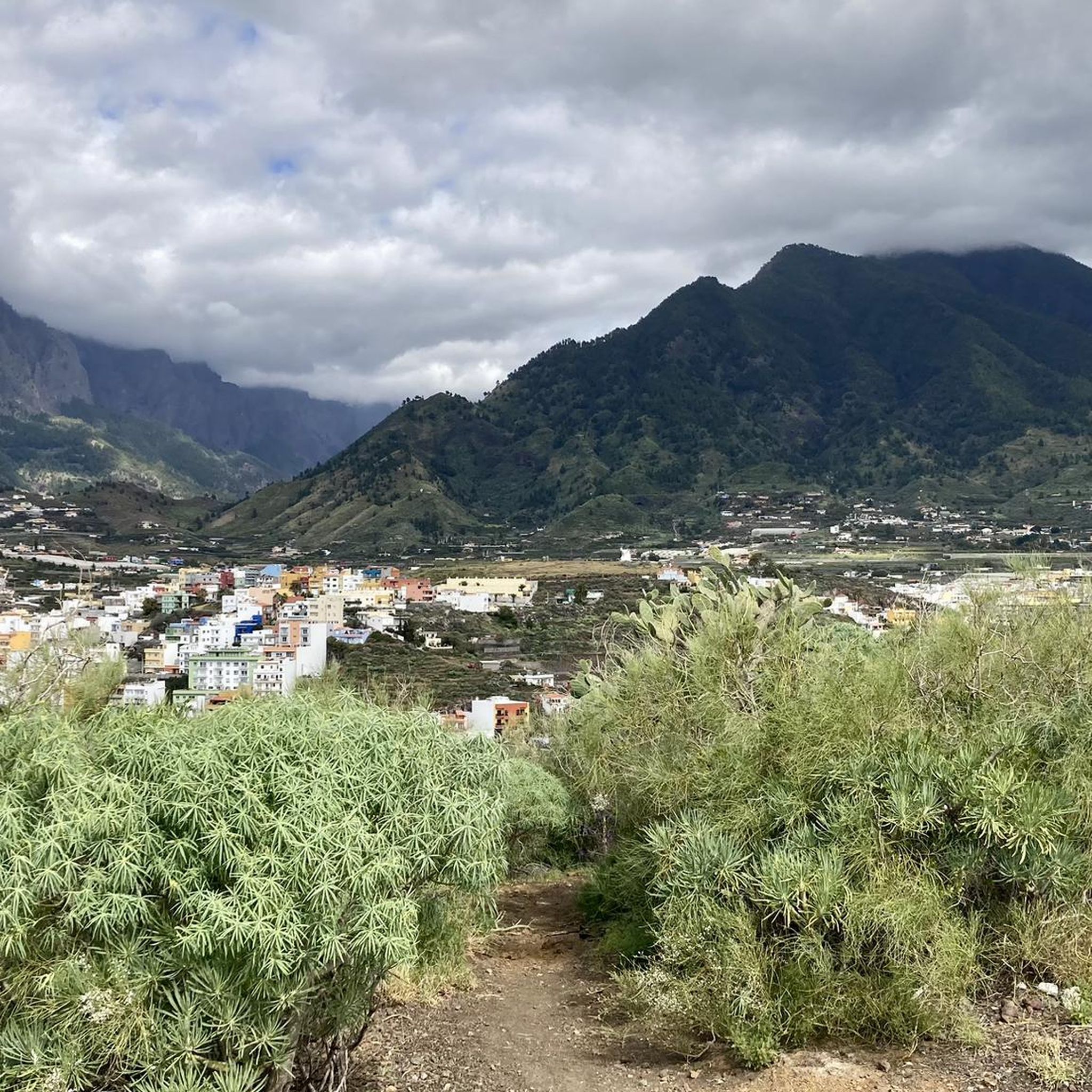
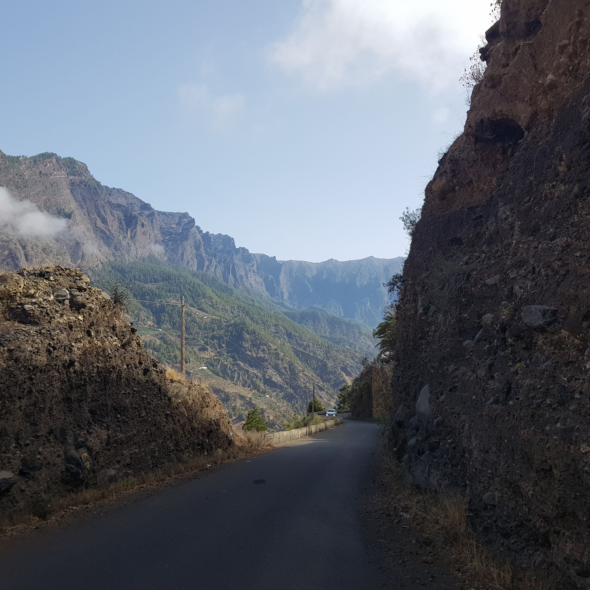
Mountaineering around Los Llanos De Aridane offers diverse and dramatic volcanic landscapes on the western side of La Palma. The region is characterized by significant elevation changes, including the vast Caldera de Taburiente, one of the world's largest erosion craters, and the high peaks of Roque de los Muchachos. Mountaineers can explore areas shaped by past eruptions, deep barrancos, and varied geological formations.
Best mountaineering routes around Los Llanos De Aridane
- The most popular mountaineering route is El Rodeo –…
Last updated: August 25, 2026
4.5
(2)
18
hikers
14.5km
05:47
690m
690m
Hard mountaineering route. Very good fitness required. Mostly accessible paths. Sure-footedness required.
5.0
(1)
12
hikers
10.8km
04:15
780m
780m
Hard mountaineering route. Good fitness required. Sure-footedness, sturdy shoes and alpine experience required.

Sign up for free
5.0
(2)
10
hikers
Moderate mountaineering route. Good fitness required. Easily-accessible paths. Suitable for all skill levels.
3.5
(2)
6
hikers
16.9km
06:43
990m
990m
Hard mountaineering route. Very good fitness required. Mostly accessible paths. Sure-footedness required.
3
hikers
19.9km
07:51
1,030m
1,030m
Hard mountaineering route. Very good fitness required. Mostly accessible paths. Sure-footedness required.
Get access to more routes and recommendations from other explorers.
Sign up for free
Already have an account?
Our route recommendations are based on thousands of hikes, rides, and runs completed by other people on komoot.
Start today with a free account
Your next adventure awaits.
Login or Signup
Popular around Los Llanos De Aridane
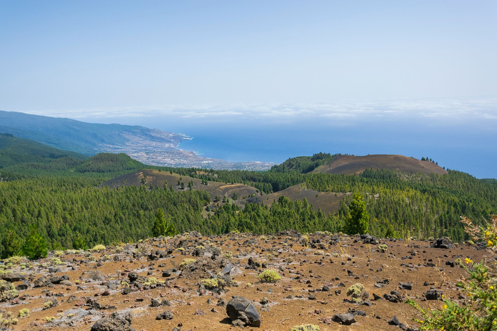
Around the beautiful island – La Palma Nature Trail (GR 130)
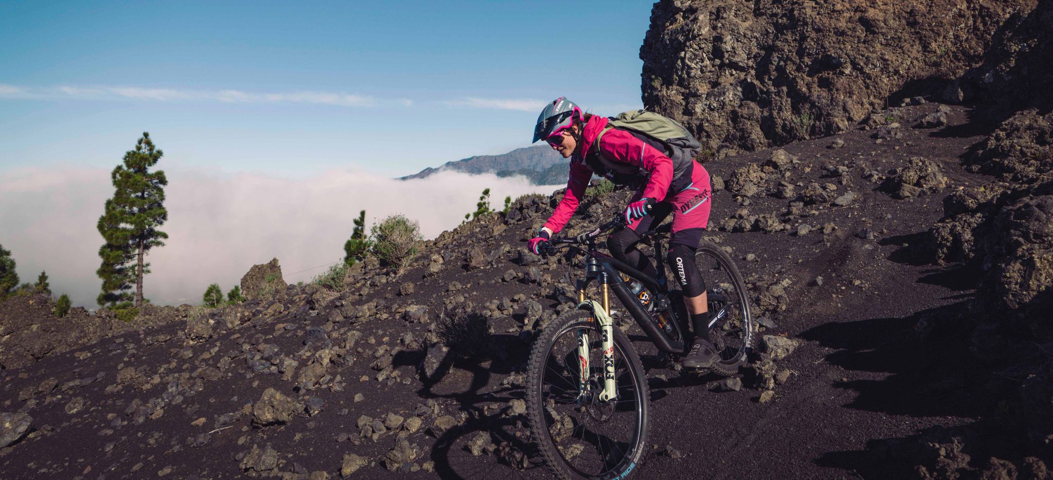
La Palma – my favourite Tours on the Canary Islands’ Isla Bonita
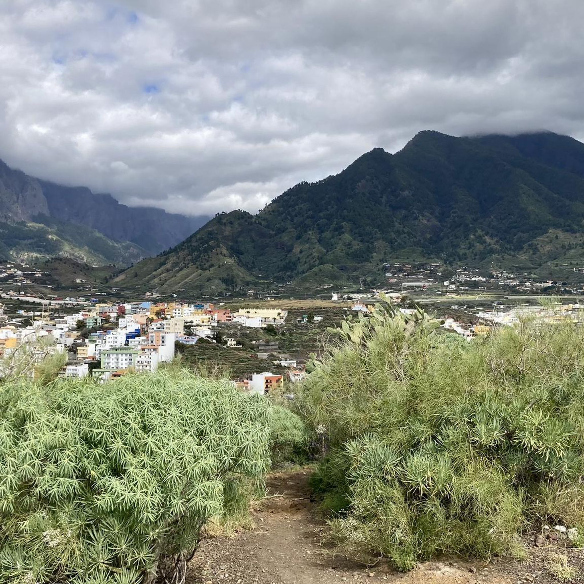
Hiking around Los Llanos De Aridane
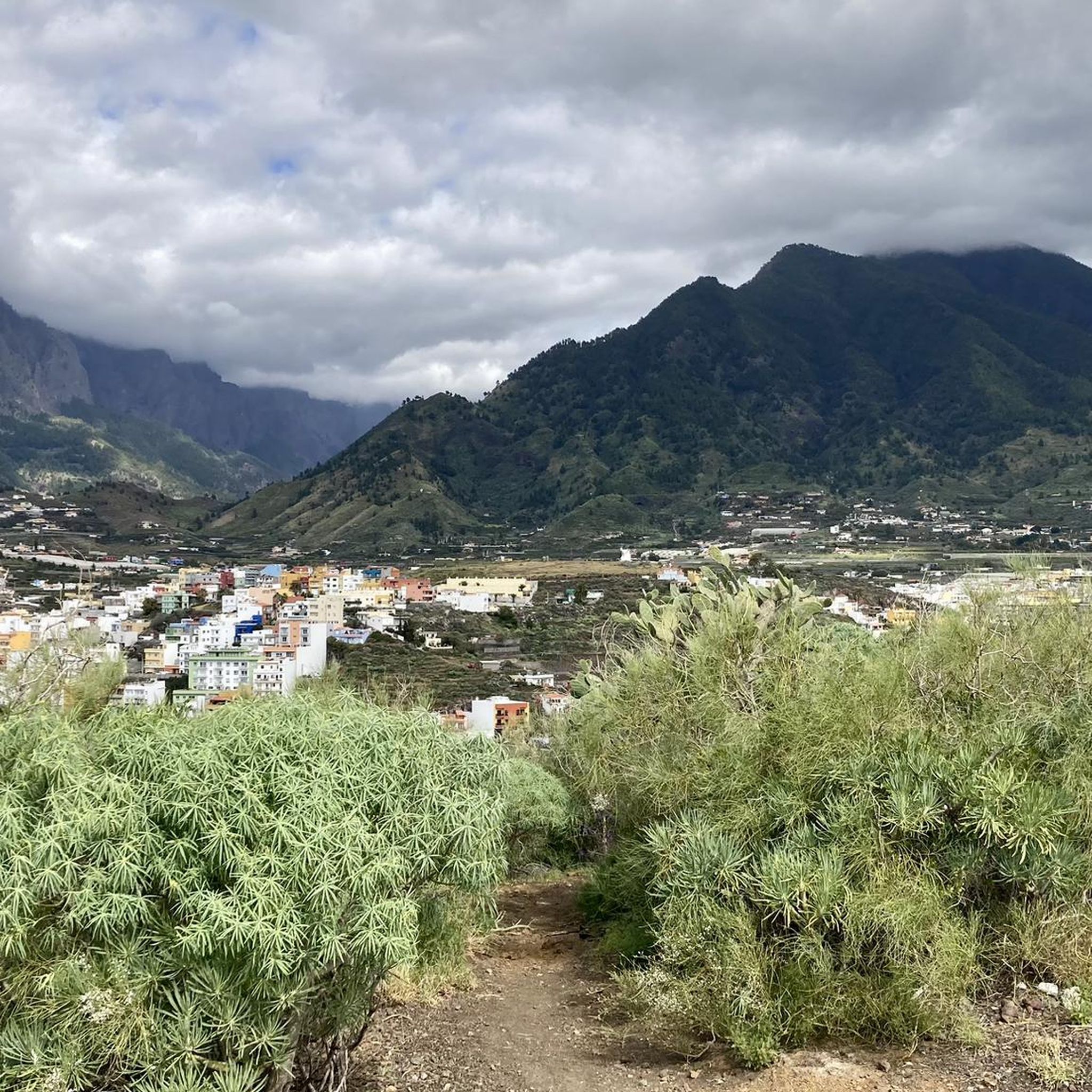
Road Cycling Routes around Los Llanos De Aridane
Cycling around Los Llanos De Aridane
MTB Trails around Los Llanos De Aridane
Running Trails around Los Llanos De Aridane


Tips from the Community

This spectacular volcanic ridge offers, on either side of the trail, wide views of the Atlantic and the pine-covered slopes. Looking ahead, you can also admire the rugged relief of the ridge.
0
0

The highest peak on the volcano route, offering a magnificent panoramic view: of the caldera, Tenerife with Mount Teide, and the next volcanic craters along the route. Caution: it can be quite windy on the ascent.
0
0

Highest point of the Ruta de los Volcanos from El Pilar to Fuencaliente
0
0
This is an easy trail that offers a good view of the caldera of the vulcano.
0
0
From this viewpoint, the Ruta de los Vulcanos curves to the right of the Volcán Duráznero, but there is another trail that takes you straight over the top of this volcano and the next one, the Deseada.
0
0
Just after the start of the 17 km long Ruta de los Vulcanos from El Pilar to Fuencaliente, you will pass the only viewpoints of the Caldera de Taburiente.
0
0

It was originally called Volcán Fuencaliente. In 1677/78, it erupted on the feast day of Saint Anthony and was renamed Volcán de San Antonio. The volcano lies at an elevation of 632 meters above sea level. At its base, it has an outer diameter of approximately 1 kilometer. Its fairly round crater is about 150 meters deep.
1
0

A very beautiful vantage point on the Camino de Gordian. The view sweeps over the Aridane Valley and the Cumbre Vieja in the background.
0
0
Frequently Asked Questions
How many mountaineering routes are available around Los Llanos de Aridane?
There are over 15 mountaineering routes around Los Llanos de Aridane, offering a variety of experiences across the diverse volcanic landscapes of La Palma. These routes cater to both moderate and difficult ability levels.
What kind of terrain can I expect on mountaineering routes in Los Llanos de Aridane?
Mountaineering routes in Los Llanos de Aridane feature dramatic volcanic terrain, including vast erosion craters like the Caldera de Taburiente, high peaks such as Roque de los Muchachos, and deep barrancos. You'll encounter areas shaped by past eruptions, offering unique geological formations.
Are there any circular mountaineering routes near Los Llanos de Aridane?
Yes, several circular routes allow you to experience the region's stunning landscapes. For example, the difficult El Rodeo – Pico Bejenado loop from Start of Pico Bejenado hike offers views of Pico Bejenado, while the Hoyo Negro Crater – Deseada Peak loop from Montaña de los Tomillos traverses impressive volcanic formations.
What are some notable natural features or landmarks I can see while mountaineering?
The region is rich in natural wonders. You can explore the vast Roque de los Muchachos, the highest point on La Palma, offering panoramic views. The Caldera de Taburiente National Park is a major highlight, and you can also see volcanic formations like the Hoyo Negro Crater and Pico Deseada. The Barranco de Las Angustias is another impressive natural passage.
Are there any moderate mountaineering routes suitable for those looking for a less strenuous challenge?
Yes, there are several moderate routes. One option is the Mirador Barranco Jurado – Porís de Candelaria loop from Tijarafe, which offers a rewarding experience without the extreme difficulty of some other trails. Another is the Pico Nambroque – Montaña la Barquita loop from Montaña de los Tomillos.
What do other mountaineers say about the routes in Los Llanos de Aridane?
The mountaineering routes in Los Llanos de Aridane are highly rated by the komoot community, with an average score of 4.6 stars from over 25 reviews. Many mountaineers praise the diverse and dramatic volcanic landscapes, the challenging yet rewarding trails, and the breathtaking panoramic views from the peaks.
Are there any huts or shelters along the mountaineering routes?
Yes, there are several huts and shelters that can be useful for longer treks or as rest stops. Notable options include Refugio del Pilar, Refugio de Tinizara, and the Llano de las Moscas Shelter. These can provide a welcome break during your mountaineering adventure.
What is the best time of year for mountaineering in Los Llanos de Aridane?
La Palma generally enjoys mild year-round weather, making it suitable for outdoor pursuits throughout the year. However, for mountaineering, spring and autumn often offer the most pleasant conditions with moderate temperatures and less chance of extreme weather, though the higher altitudes can be cooler at any time.
Is it possible to combine mountaineering with other outdoor activities in the region?
Absolutely. Los Llanos de Aridane is an excellent base for a variety of outdoor activities. Beyond mountaineering, you can also enjoy cycling, canyoning, mountain biking, and even diving in the clear subtropical waters to explore volcanic underwater formations. The diverse landscape caters to many adventure sports.
Are there any specific permits required for mountaineering in certain areas, like Caldera de Taburiente National Park?
For certain routes within the Caldera de Taburiente National Park, especially those involving specific access points or overnight stays, permits may be required. It's advisable to check with the National Park authorities or local tourist information centers in advance to ensure you have all necessary permissions for your chosen route. For general information about the municipality, you can visit visitlapalma.es.
Where can I find cafes or pubs near popular mountaineering trailheads in Los Llanos de Aridane?
Los Llanos de Aridane itself offers a good selection of cafes and pubs where you can refuel before or after your mountaineering trips. While specific establishments directly at every trailhead might be limited, you'll find options in the main town and surrounding villages. For example, areas near Refugio El Pilar or within Los Llanos de Aridane are good places to look for hiker-friendly spots.
Most popular routes around Los Llanos De Aridane
Most popular attractions around Los Llanos De Aridane

Get inspired with the komoot mobile app


Explore more
Browse the best Mountain Hikes & Routes in other regions.
