The 20 Most Amazing Peaks around Les Valls De Valira
Best mountain peaks around Les Valls De Valira are situated in the Pyrenees, offering a rugged mountainous terrain with diverse landscapes. This municipality borders Andorra and includes parts of the Alt Pirineu Natural Park, Catalonia's largest natural park. The region is characterized by its elevated areas, providing varied hiking trails and panoramic views.
Best mountain peaks around Les Valls De Valira
- The most popular mountain peaks is Coma Pedrosa Summit, a summit where the hike to the summit requires…
Last updated: July 7, 2026
Coma Pedrosa Summit
Highlight • Summit
Showing Translation
Tip by

Beixalis Pass
Highlight • Mountain Pass
Showing Translation
Tip by

Sign up now to discover places like this
Get recommendations on the best single tracks, peaks, & plenty of other exciting outdoor places.
Sign up for free
Coll de la Gallina
Highlight • Mountain Pass
Translated by Google •
Tip by

Port de Cabús
Highlight • Mountain Pass
Translated by Google •
Tip by

Pic dels Pessons
Highlight • Summit
Translated by Google •
Tip by

Sign up for free to discover even more peaks around Les Valls De Valira.
Sign up for free
Already have an account?
Start today with a free account
Your next adventure awaits.
Login or Signup
Popular around Les Valls De Valira
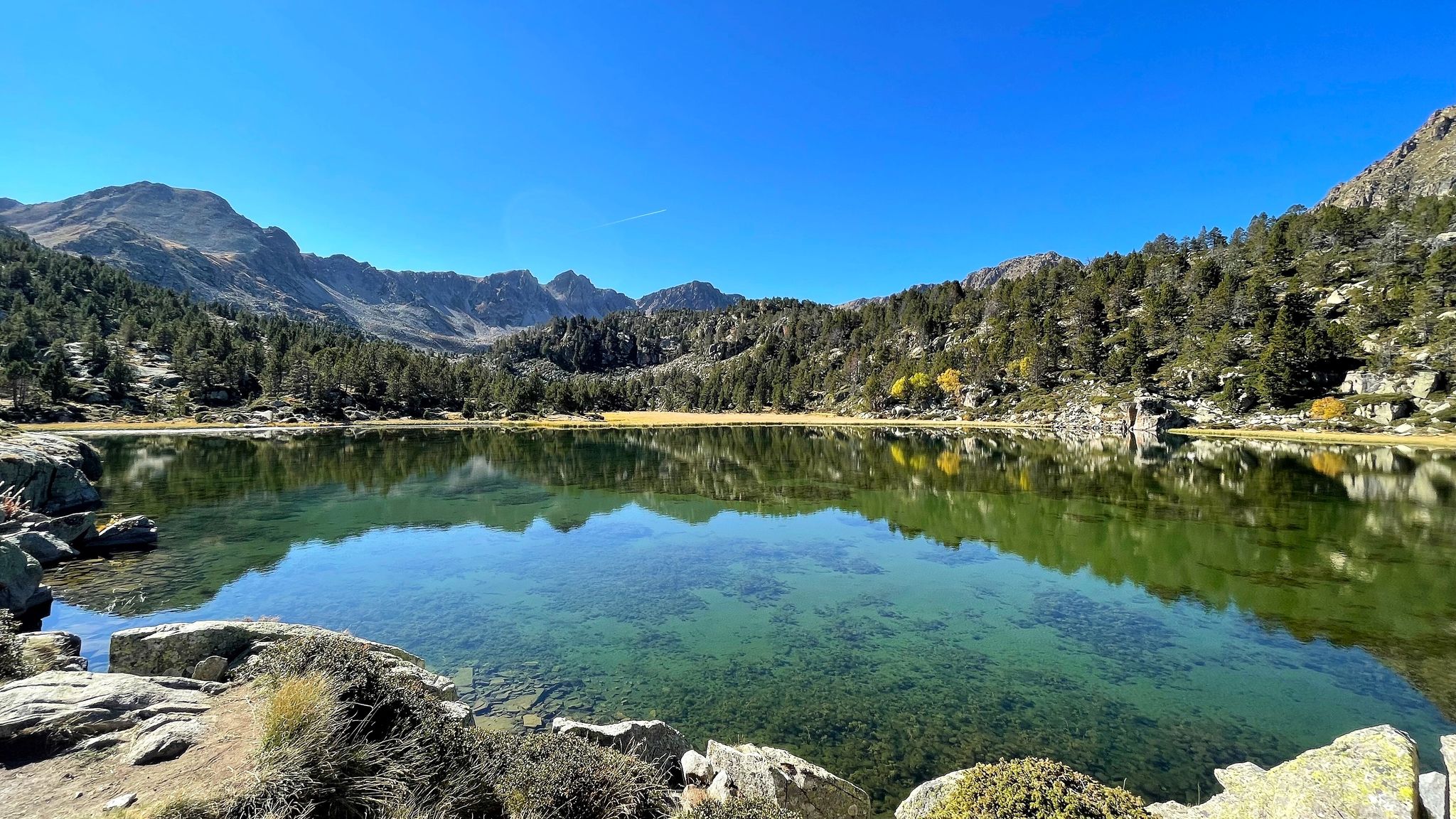
A Pyrenean experience – traversing beautiful Andorra (GR 7)
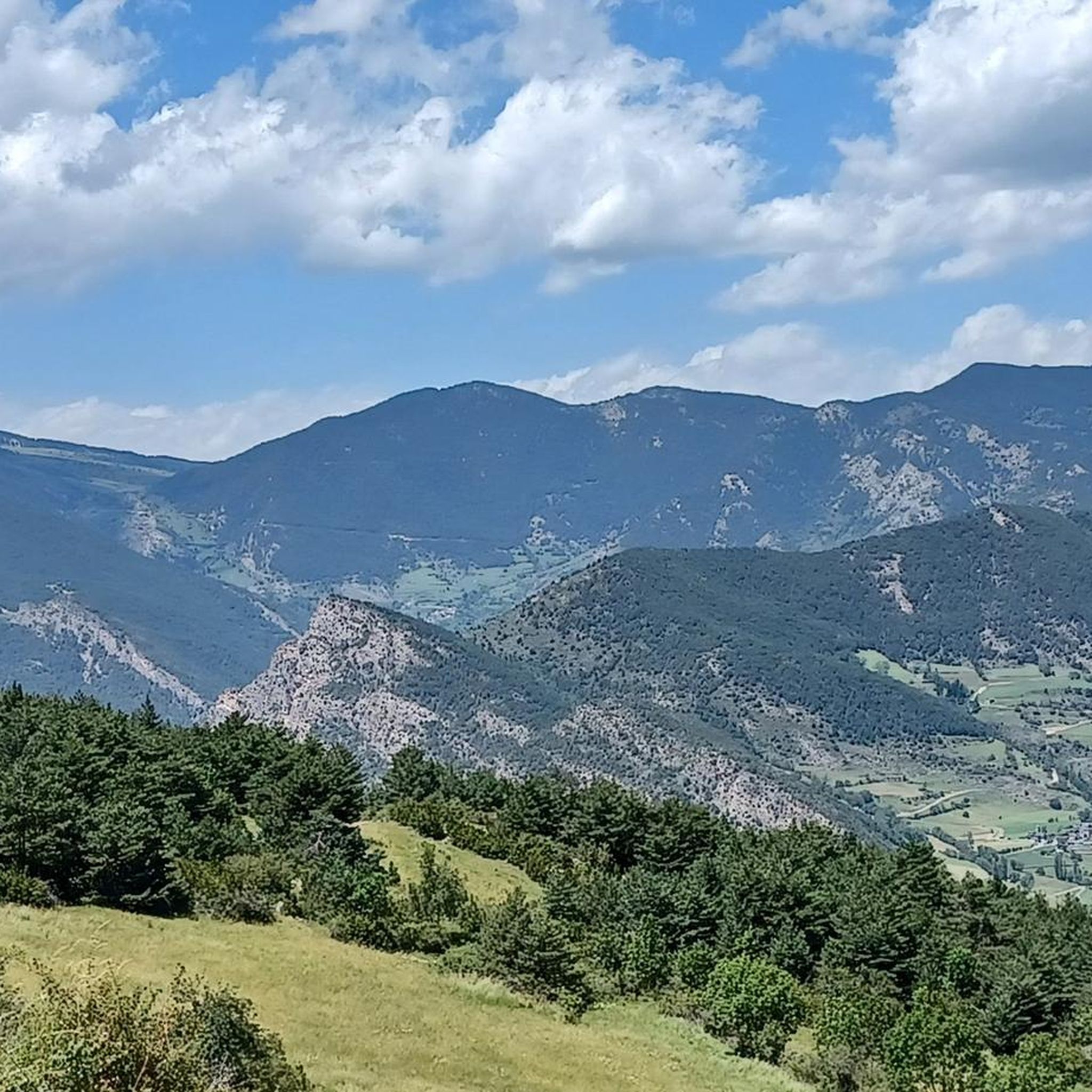
Hiking around Les Valls De Valira
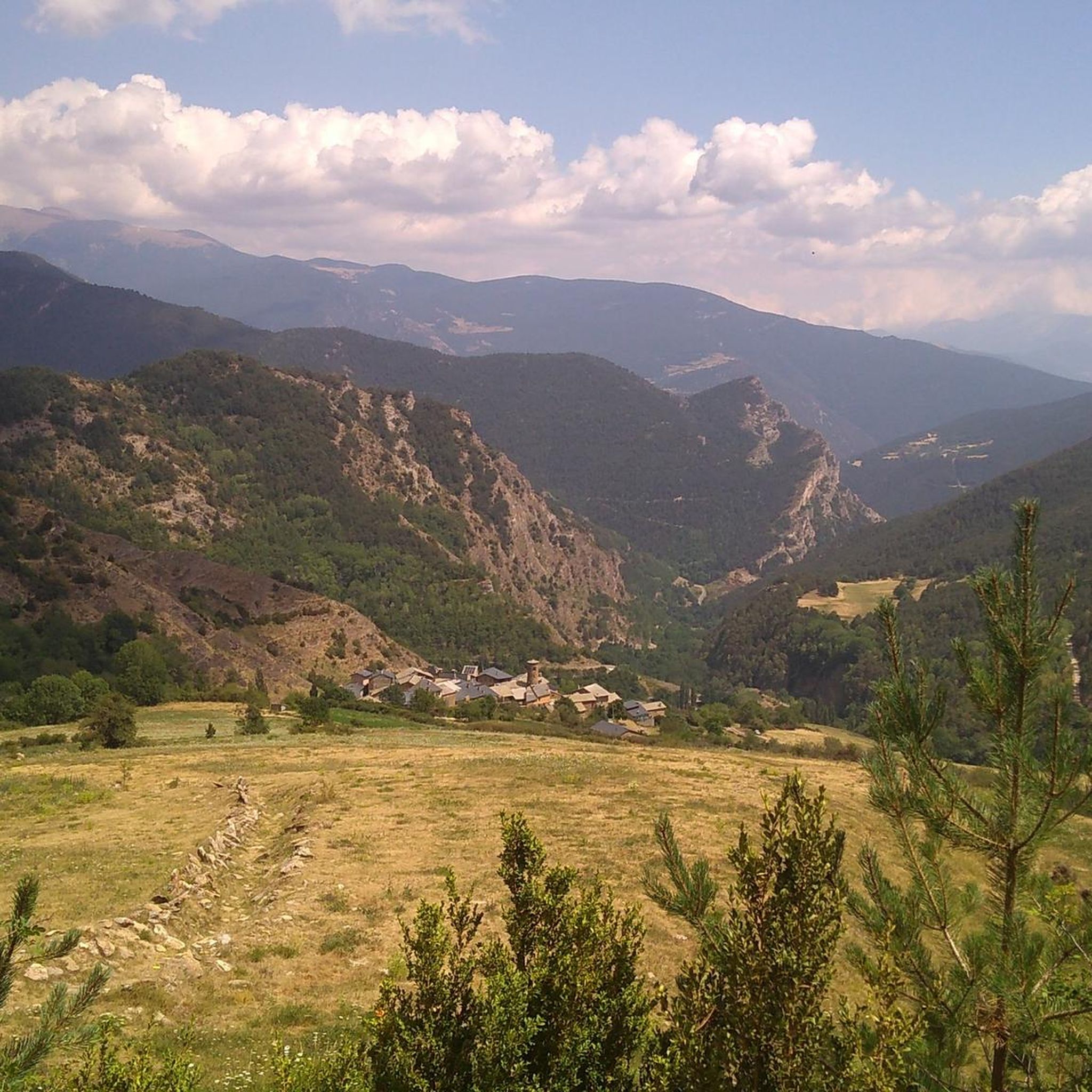
Road Cycling Routes around Les Valls De Valira
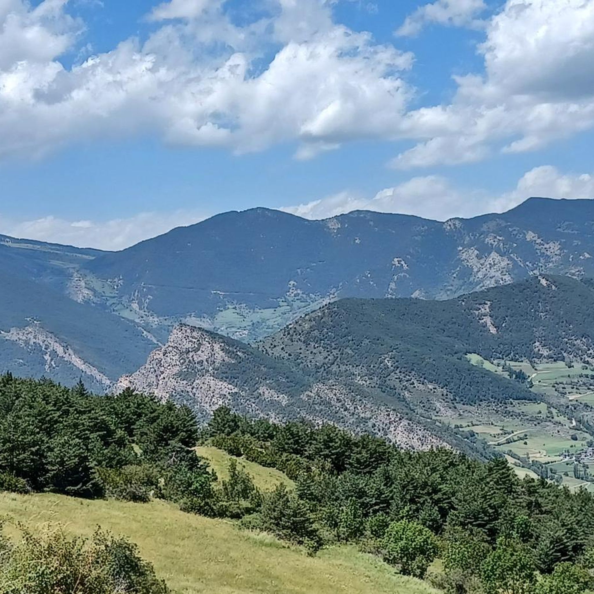
Running Trails around Les Valls De Valira
Cycling around Les Valls De Valira
MTB Trails around Les Valls De Valira
Gravel biking around Les Valls De Valira

Mountain Hikes around Les Valls De Valira
Other adventures around Les Valls De Valira

Tips from the Community

Very steep. Only the last few kilometers flatten out a bit. Moderate view at the col. Lots of pro cyclists spotted along the way.
1
0

The Cabús Pass is a mountain pass that crosses the Pyrenees at 2,302 m above sea level. It is located on the border between Andorra and Spain, between the parish of La Massana and the municipality of Alins. Only the Andorran side is paved. From Alins, in the High Pyrenees, the climb is impressive and involves paths and trails that are not always in good condition.
0
0

The highest mountain in Andorra is feasible as a day trip from the country. However, one should be careful, some experienced hikers have already gotten lost. 😜 And the way to Spain or France is long... The easiest ascent is rated T3 according to the SAC scale. On the descent, I went a bit off the summit path in a northeastern direction and descended there. A bit more demanding (T4), but in this case, due to the scree in the upper part, it is easier to navigate on the descent. Here I saw some salamanders.
1
0

For me, Encamp is my favourite training pass. It is demanding at first but then it becomes more bearable.
0
0

Port de Cabús is a mountain pass on the border between Andorra and Spain, known for its stunning scenery and appeal for hiking, cycling, and other mountain activities. Being on the border, Port de Cabús has particular significance, as it has historically been used as a cross-border crossing for trade and, in more recent times, as a less conventional route to cross between Andorra and Spain. Although the pass itself has no formal border control, it is important to carry documentation when crossing from one country to the other.
0
0

Welcome to the roof of Andorra. Ascent without any complexity. You can descend by following the ridge northwards to the pass, and from there continue down the scree slope. The route is easy to follow except for the scree, which requires a bit of improvisation on the way down.
0
0

The Coll de la Gallina is the hardest pass in the Principality of Andorra. Its two aspects are simply spectacular. It is worth climbing both slopes. Personally, I like the Fontaneda slope a little more, which is the one you climb on the "La Purito" march. I leave you the detail of the altimetry of both slopes that is published on the best website for these purposes by @cyclingcols --> http://www.cyclingcols.com/col/Gallina
0
0

We could certainly say that it is one of the most well-known mountain passes in the south of the Andorran country, along with Rabassa. The paved road does not exist historically, but was built not many years ago and helps to connect the towns of Fontaneda and Bixessarri.
0
0
Frequently Asked Questions
What are some of the most popular mountain peaks and passes around Les Valls de Valira?
The region offers a variety of impressive peaks and passes. Among the most popular are Coma Pedrosa Summit, known as the highest peak in Andorra, and the challenging mountain passes like Collada de Beixalis and Coll de la Gallina, both famous for their steep sections and panoramic views. Port de Cabús also offers spectacular vistas.
How difficult are the mountain peaks to hike in Les Valls de Valira?
The difficulty varies significantly. Peaks like Coma Pedrosa Summit are considered challenging, requiring expertise or physical resistance due to technical trails and sharp rocks. However, other peaks like Pic de Salòria, while high, have a more gentle morphology and are considered accessible for experienced hikers with moderate difficulty. Many routes require sure-footedness and high-mountain experience.
What kind of views can I expect from the mountain peaks in this region?
You can expect breathtaking panoramic views. From Pic de Salòria, you'll see the Serra del Cadí, Torreta de l'Orri, and Pica d'Estats. Monturull offers unique vistas over the surrounding Pyrenees and into Andorra. Generally, the high peaks provide expansive views in all directions, showcasing the rugged mountainous terrain, lush forests, and clear rivers characteristic of the Pyrenees.
Are there less crowded mountain hikes available in Les Valls de Valira?
Yes, if you're looking for tranquility, Monturull is often considered a less crowded peak. Its less frequented nature offers a sense of solitude and a deeper connection with nature away from larger crowds, while still providing spectacular views over the Pyrenees and into Andorra.
What wildlife might I encounter while hiking in the mountains of Les Valls de Valira?
The region is rich in wildlife. Around Monturull, especially near the Pera lakes, marmots can sometimes be spotted. The Alt Pirineu Natural Park, which includes parts of Les Valls de Valira, is a protected area, making it a good place to observe various Pyrenean species in their natural habitat.
When is the best time to hike the mountain peaks around Les Valls de Valira?
The best time for hiking is generally outside of the snow season, typically from late spring through early autumn. During these months, the trails are more accessible, and the weather is more favorable. However, conditions can change rapidly in the mountains, so always check the forecast before heading out.
What outdoor activities can I do near these mountain peaks?
Beyond hiking, the region offers diverse outdoor activities. You can explore various routes for gravel biking, mountain biking, and general hiking. For more detailed information on routes, check out the Gravel biking around Les Valls De Valira guide, the Hiking around Les Valls De Valira guide, and the Mountain Hikes around Les Valls De Valira guide.
Are there any circular walks or routes around the mountain peaks?
Yes, there are circular routes available. For example, the ascent to Pic de Salòria from near Os de Civís can be done as part of a circular route, often involving a return via Coll de Conflent. Many hiking guides for the region will feature circular options to maximize scenic variety.
What are the winter hiking conditions like in Les Valls de Valira?
Winter conditions in Les Valls de Valira's mountain peaks can be challenging, with snow covering most slopes. While some routes might be accessible for experienced winter hikers or mountaineers with proper equipment (like snowshoes or crampons), many trails become significantly more difficult and potentially dangerous due to snow, ice, and avalanche risk. Always check local conditions and forecasts.
What do visitors enjoy most about the mountain peaks in Les Valls de Valira?
Visitors frequently highlight the incredible panoramic views, the sense of accomplishment from reaching challenging summits, and the opportunity to connect with nature in a tranquil, less crowded environment. The diverse landscapes, from lush forests to alpine meadows and clear lakes, also contribute to a rewarding outdoor experience.
Are there any specific tips for hiking to Coma Pedrosa Summit?
Hiking to Coma Pedrosa Summit requires good physical resistance and appropriate footwear due to technical trails with sharp and loose rocks, especially on the downhill sections. The altitude can also make you slower if you're not accustomed to it. There are natural water sources near the top where you can refill bottles, so you don't need to carry excessive water.
Most popular routes around Les Valls De Valira
Most popular attractions around Les Valls De Valira

Get inspired with the komoot mobile app


