The best mountain hikes around Les Valls De Valira
4.8
(3)
37
hikers
8
hikes
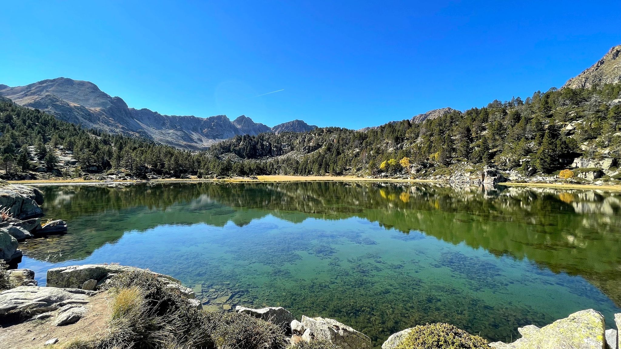
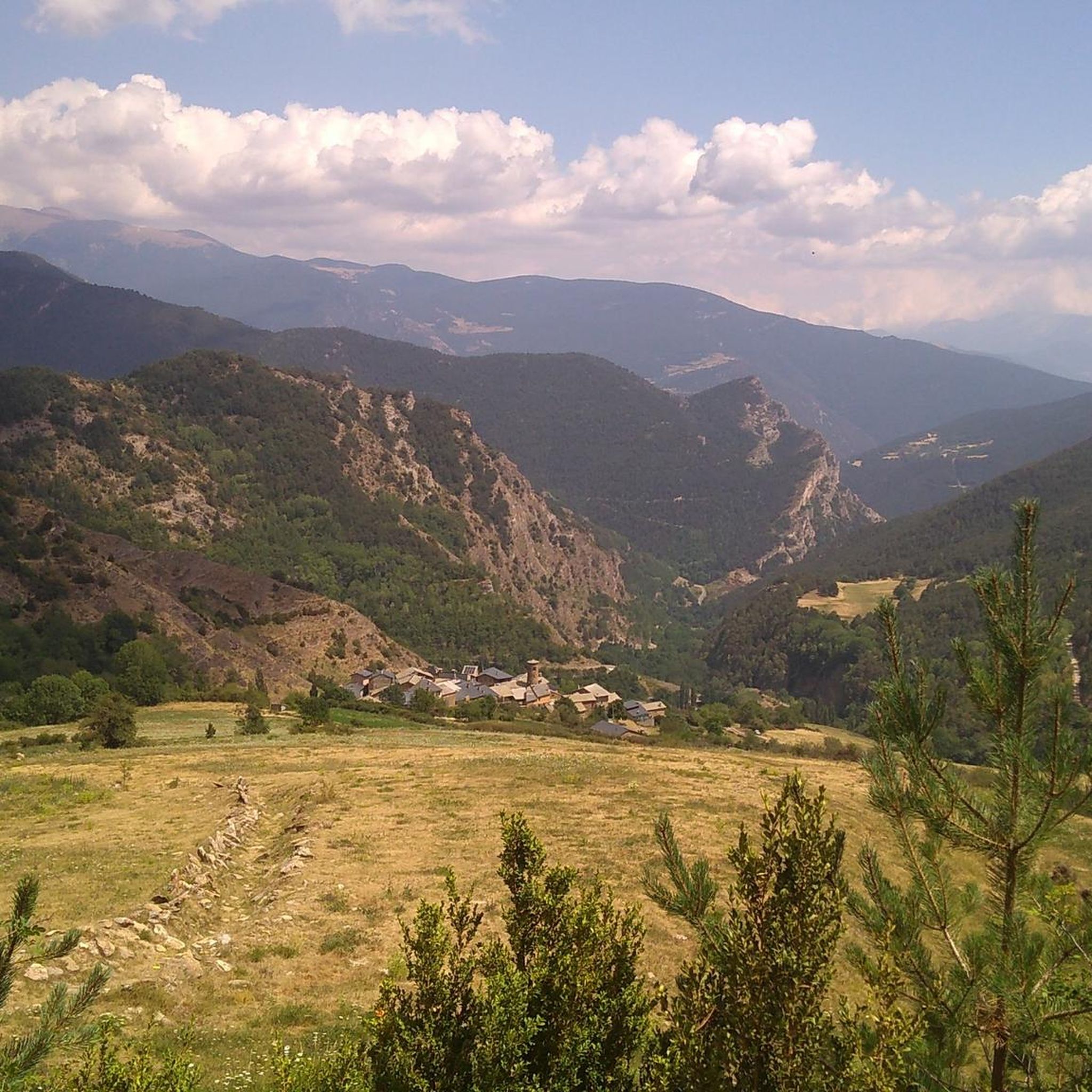
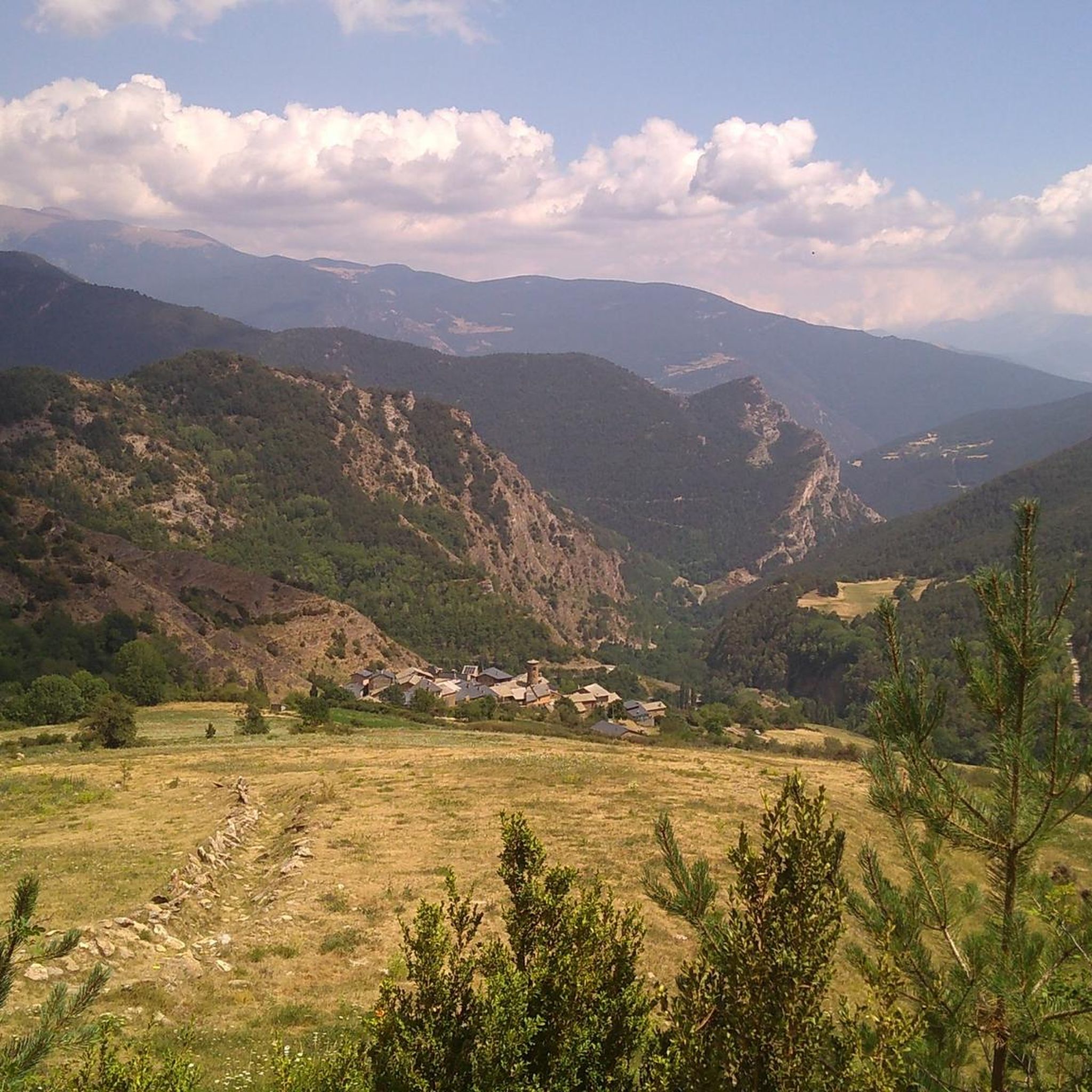
Mountaineering routes around Les Valls De Valira traverse a diverse and rugged Pyrenean landscape. This region, part of the Alt Pirineu Natural Park, features high mountains, deep valleys, and a rich hydrological network. Peaks like Coma Pedrosa and Pic dels Pessons define the challenging terrain, alongside spectacular lakes such as Estany Negre de Comapedrosa. The area offers varied environments for different levels of outdoor enthusiasts, with elevations reaching up to 2,775 meters.
Best mountaineering routes around Les Valls De Valira
…Last updated: June 28, 2026
8
hikers
Moderate mountaineering route. Good fitness required. Mostly accessible paths. Sure-footedness required.
5.0
(1)
8
hikers
8.83km
04:10
700m
700m
Moderate mountaineering route. Good fitness required. Mostly accessible paths. Sure-footedness required.

Sign up for free
7
hikers
17.4km
07:10
1,130m
1,130m
Hard mountaineering route. Very good fitness required. Mostly accessible paths. Sure-footedness required.
4.5
(2)
6
hikers
7.13km
02:45
490m
480m
Moderate mountaineering route. Good fitness required. Mostly accessible paths. Sure-footedness required.
4
hikers
Hard mountaineering route. Very good fitness required. Sure-footedness, sturdy shoes and alpine experience required.
Get access to more routes and recommendations from other explorers.
Sign up for free
Already have an account?
Our route recommendations are based on thousands of hikes, rides, and runs completed by other people on komoot.
Start today with a free account
Your next adventure awaits.
Login or Signup
Popular around Les Valls De Valira
Other adventures around Les Valls De Valira

Tips from the Community

A free mountain refuge nestled among black pine forests and high meadows, with sweeping views of the Segre Valley. It's a peaceful spot, ideal for sheltering from the wind or taking a break on routes that connect to Cap del Rec or Tossa Plana. The surroundings retain the pure silence of the upper Cerdanya region. By mountain bike, the final approach is via a stony track with a slight incline; it's advisable to lower the saddle and maintain control on the subsequent descent, as ruts and loose stones can be treacherous if you're riding too fast.
0
0
Located at an altitude of 1,960 meters, this refuge is a key point for cyclists and hikers heading towards the Tossa Plana de Lles or the Nordic ski slopes. The refuge combines a mountain atmosphere with comfortable amenities: a bar, a dining room, and a terrace with open views of the Cadí mountain range. It's a good place to stop, have a hot meal, or adjust your bike before continuing the climb. For mountain biking, the track from Lles has an uneven surface and rocky sections; tires with good grip are recommended, as is maintaining a constant cadence, especially on the final bends where the gradient is noticeable.
0
0

When is the price per person per night?
0
0
The river originates in the heights of the Comapedrosa area, at a considerable altitude, and descends through a steep valley, contributing to the Arinsal River. The waterfall is one of the most impressive in the region, with a waterfall that, although not extremely high, is known for its beauty and the force of the water, especially in spring, when the thaw feeds the river flow. The waterfall is located at an altitude of approximately 1,800 meters above sea level and is accessible through hiking routes that start from Arinsal or the Pla del Estany Refuge.
0
0
From the usual starting point in Arinsal, the route to the Pla del Estany Refuge covers approximately 4 kilometres of ascent. The route has a positive gradient of about 500 metres, which makes it quite demanding, especially in the final sections. The lake is located at an altitude of approximately 2,056 metres above sea level. It is a relatively small lake, with a modest surface area, suitable for enjoying the serenity of the surrounding mountain landscape.
0
0
The Refugi del Pla de l'Estany is an unguarded refuge, meaning there is no permanent staff on site. It is a simple stone construction that offers basic accommodation for hikers, sleeping around 6 to 8 people. It has bunk beds, but no amenities such as electricity, running water or food, so it is necessary to bring everything necessary for the stay. This refuge is mainly used as a resting point for hikers on multi-day routes in the area, or as a base for ascending Comapedrosa. It is an ideal place for those looking to enjoy nature in its purest state and the tranquility of the high mountains.
0
0

Beautiful cabin used for livestock farming, with a vegetal roof created by means of a lowered vault.
0
0

There is a circular route of approximately 6.7 km that will take you from the base of the ski resort to Lake Orri, passing through Pla de las Someres and the Pradell refuge. For much of the itinerary, you will follow the marked snowshoe trails of the Nordic ski resort of Lles de Cerdaña. In winter, it is ideal to start snowshoeing and enjoy the pine forests and high mountain meadows completely covered in snow.
8
0
Frequently Asked Questions
What kind of mountaineering routes can I expect in Les Valls De Valira?
Les Valls De Valira offers a diverse range of mountaineering routes, from moderate ascents to challenging high-mountain expeditions. The terrain is characterized by dramatic Pyrenean environments, featuring high mountains, deep valleys, and spectacular alpine lakes. You'll find paths leading to prominent peaks like Coma Pedrosa and Pic dels Pessons, as well as routes through high-altitude landscapes.
Are there any circular mountaineering routes available?
Yes, several circular routes are available for mountaineers. For example, the difficult Artiga de Lin Waterfall – Estany Negre loop from Arinsal takes you past a notable mountain lake and a waterfall. Another option is the moderate Pla de l'Estany Mountain Lake – Comapedrosa Tunnel Entrance loop from Arinsal, which explores high-altitude landscapes.
What are some notable natural features or landmarks I might encounter on these routes?
The region is rich in natural beauty. You can expect to see spectacular lakes such as Black Lake of Comapedrosa, which is often found at the foot of prominent peaks. Routes also lead past mountain passes like Port de la Rabassa, offering stunning views. The Artiga de Lin Waterfall – Estany Negre loop from Arinsal specifically features a waterfall and a mountain lake.
What is the best time of year for mountaineering in Les Valls De Valira?
The best time for mountaineering in Les Valls De Valira is generally during the warmer months when trails are clear of snow and ice. However, the region also transforms into a destination for ski mountaineering during winter, offering a different kind of challenge. Always check local weather and trail conditions before heading out, especially in higher altitudes.
Are there any particularly challenging mountaineering routes for experienced climbers?
Absolutely. The region is home to some of the highest peaks in the Alt Urgell region, such as Coma Pedrosa and Pic dels Pessons, which present significant challenges. Routes like the Tossa Plana de Lles – Tosseta de Vallcivera loop from Refugi del Cap del Rec are difficult, covering over 16 km with significant elevation gain, requiring expertise and physical resilience.
Are there any moderate mountaineering options for those looking for a less strenuous climb?
Yes, there are several moderate options. The Comapedrosa Tunnel Entrance – Coma Pedrosa Hut loop from Arinsal is a moderate route that takes you through the Coma Pedrosa area. Another moderate choice is the Pla de l'Estany Mountain Lake – Comapedrosa Tunnel Entrance loop from Arinsal, offering high-altitude landscapes without the extreme difficulty.
What do other mountaineers say about the routes in Les Valls De Valira?
The mountaineering routes in Les Valls De Valira are highly rated by the komoot community, with an average score of 4.75 stars from over 7 reviews. More than 100 mountaineers have used komoot to explore the varied terrain, often praising the challenging ascents, panoramic views, and the stunning natural beauty of the Pyrenean landscape.
Is it possible to find parking near the trailheads?
While specific parking details vary by trailhead, many popular starting points for mountaineering routes in Les Valls De Valira, especially those near villages like Arinsal or Andorra la Vella, typically offer parking facilities. It's advisable to check the specific route details on komoot for information regarding parking availability at your chosen starting point.
Are there any routes that offer panoramic views?
Yes, many routes in Les Valls De Valira are known for their panoramic views due to the region's high mountain passes and peaks. The Coll de Jovell loop from Andorra la Vella is specifically highlighted for its panoramic vistas and challenging ascents through the mountainous terrain.
Can I refill water bottles from natural sources on the trails?
Yes, the region has a rich hydrological network. For instance, near the Coma Pedrosa Summit, it's often possible to refill water bottles from natural sources, which is a significant advantage for climbers on longer expeditions. However, always ensure water from natural sources is safe to drink or treat it before consumption.
What is the longest mountaineering route available in this guide?
The longest mountaineering route featured in this guide is the difficult Tossa Plana de Lles – Tosseta de Vallcivera loop from Refugi del Cap del Rec. This challenging expedition covers approximately 16.8 kilometers and involves over 1000 meters of elevation gain.
Are there any mountain huts or refuges along the routes?
Yes, the region features mountain huts that can serve as resting points or overnight stays for mountaineers. For example, the Comapedrosa Tunnel Entrance – Coma Pedrosa Hut loop from Arinsal leads past the Coma Pedrosa Hut. Additionally, the Refugi de l'Illa is another notable refuge in the area.
Most popular routes around Les Valls De Valira
Most popular attractions around Les Valls De Valira

Get inspired with the komoot mobile app


