The best cycling routes around Alins
4.2
(40)
5,878
riders
77
rides
Touring cycling around Alins is characterized by its mountainous terrain, featuring significant elevation changes and numerous passes. The region includes high-altitude areas with ski stations, alongside valleys and lakes. These physical features provide a diverse landscape for touring cyclists.
Best touring cycling routes around Alins
- The most popular touring cycling route is Ascent to the Arinsal pass — round trip from Arinsal, a 6.8 miles (10.9 km) trail that takes 1 hour 2 minutes to complete. This difficult route…
Last updated: July 4, 2026
5.0
(1)
138
riders
56.8km
04:50
1,810m
1,810m
Hard bike ride. Very good fitness required. You may need to push your bike for some segments of this route.
5.0
(2)
25
riders
56.3km
05:27
1,890m
1,890m
Hard bike ride. Very good fitness required. You may need to push your bike for some segments of this route.

Sign up for free
30
riders
10.4km
00:47
260m
260m
Moderate bike ride. Good fitness required. Mostly paved surfaces. Suitable for all skill levels.
29
riders
58.2km
04:16
1,290m
1,290m
Hard bike ride. Very good fitness required. Mostly paved surfaces. Suitable for all skill levels.
42
riders
14.1km
01:17
570m
570m
Hard bike ride. Very good fitness required. Mostly paved surfaces. Suitable for all skill levels.
Get access to more routes and recommendations from other explorers.
Sign up for free
Already have an account?
Our route recommendations are based on thousands of hikes, rides, and runs completed by other people on komoot.
Start today with a free account
Your next adventure awaits.
Login or Signup






Tips from the Community

Erts is a small village located in the parish of La Massana, Andorra, surrounded by mountains and known for its tranquility and natural surroundings.
0
0

After the very strenuous climb on the Spanish side to Port des Cabús, which leads over long stretches of gravel, this descent is a welcome and rapid descent. For many kilometers, you roll swiftly downhill, passing spectacular views. After the peace and solitude of the port, the signs of urban life gradually come to the fore, until you finally arrive in the hustle and bustle of Andorra's capital.
0
0

Very steep. Only the last few kilometers flatten out a bit. Moderate view at the col. Lots of pro cyclists spotted along the way.
1
0

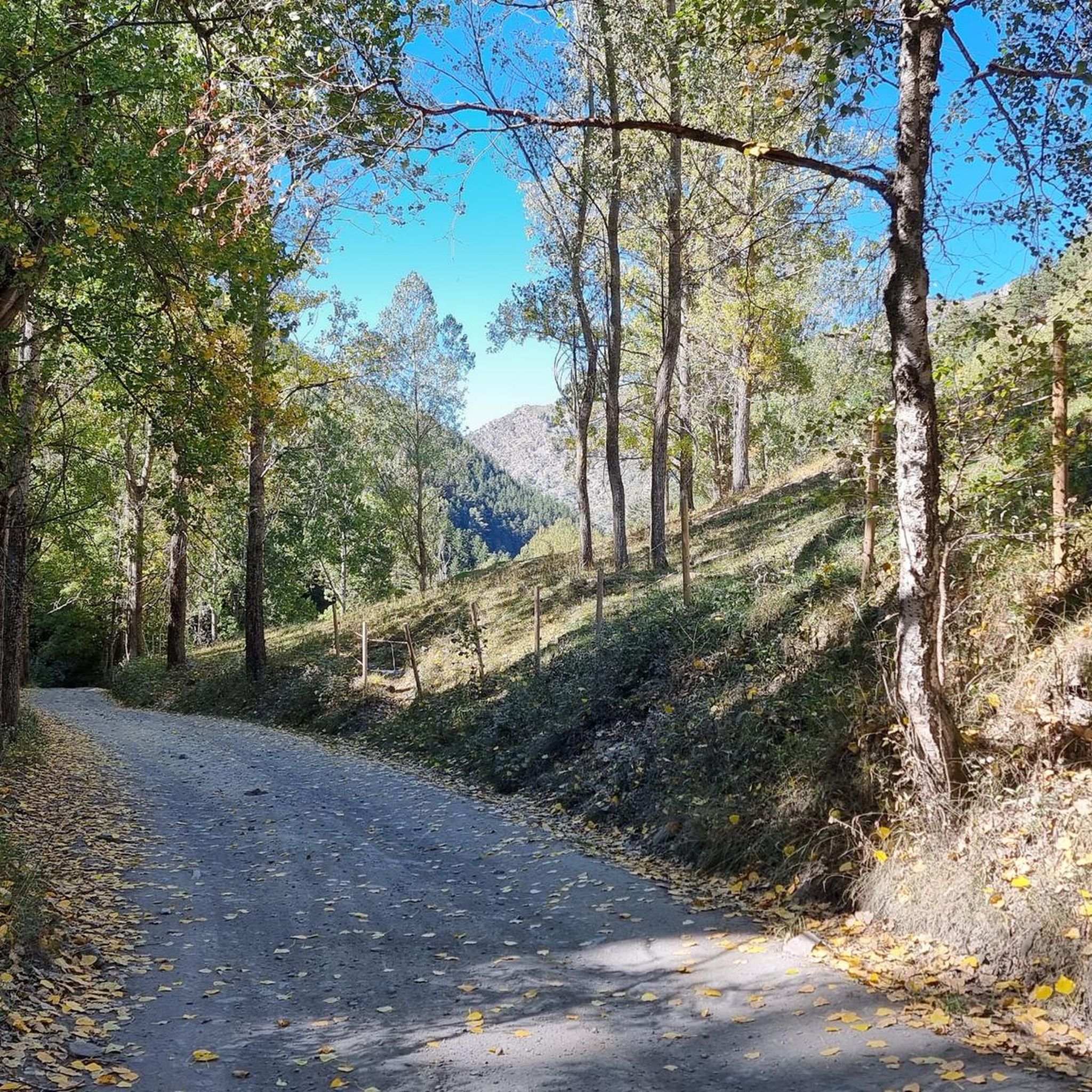
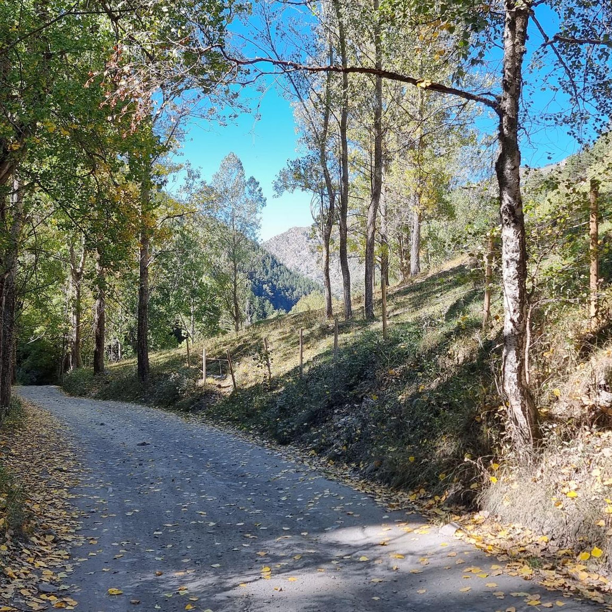
Tor is one of the highest villages in the Pyrenees, right on the border with Andorra, a small village in the Catalan Pyrenees that administratively belongs to the municipality of Alins, in the region of Pallars Sobirá. This village borders Andorra. The village is at an altitude of 1,649 meters and is surrounded by two ravines. On the summit to the north of the village, known as Roc de Sant Pere, are the ruins of a medieval castle, the Força de Tor, and near it are the remains of a Romanesque church. The village is not very well connected. On the Spanish side, there is an asphalt road that reaches a small bridge, after which there is a private dirt track that covers a distance of one and a half kilometers to reach the village. To the east, another dirt track heads towards Andorra, which forks before reaching the Principality. In winter, these roads fill with snow, making car travel difficult. Due to its strategic position in the passes to Andorra through the Pyrenees, ownership of the mountain of Tor has been a source of conflict, initially for timber exploitation and later for real estate interests, to which must be added the smuggling routes that passed through there to Andorra. These conflicts are part of the dark history of Tor and its most tragic events.
0
0
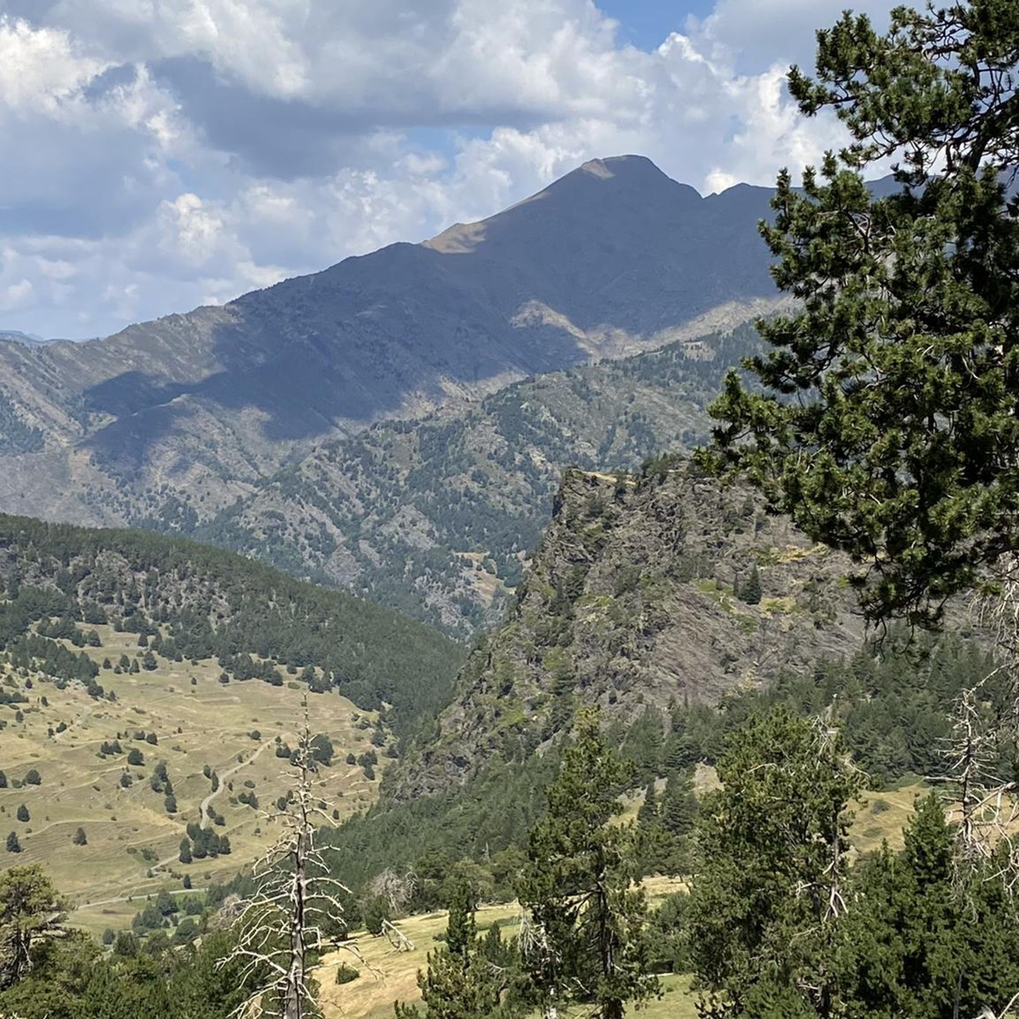
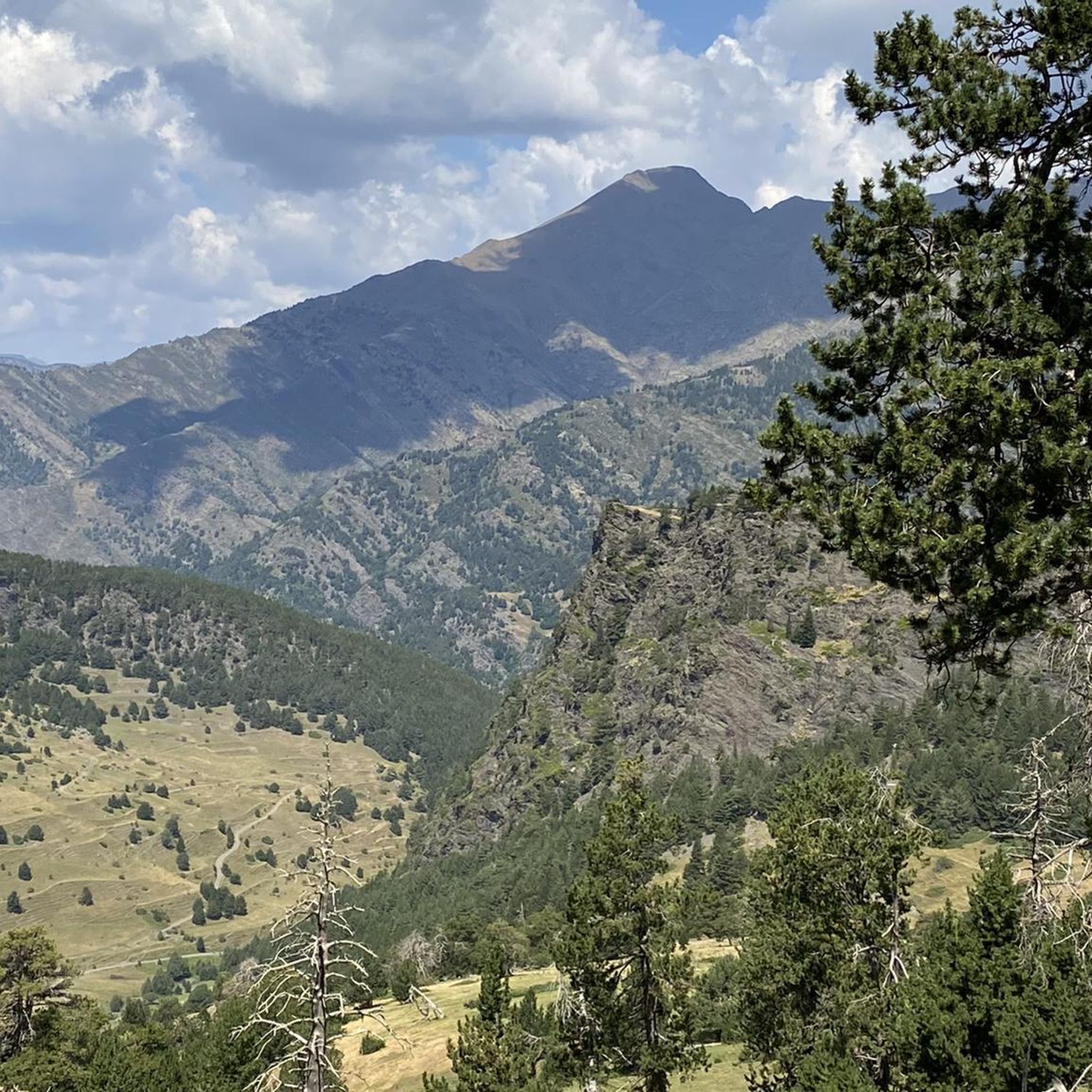
The Cabús Pass is a mountain pass that crosses the Pyrenees at 2,302 m above sea level. It is located on the border between Andorra and Spain, between the parish of La Massana and the municipality of Alins. Only the Andorran side is paved. From Alins, in the High Pyrenees, the climb is impressive and involves paths and trails that are not always in good condition.
0
0

Top hotels, starting point for ridge ride to Port de Cabus
0
0

You go down the center by bike. Stop at the Gir, a cafeteria with something more focused on cyclists.
0
0
For me, Encamp is my favourite training pass. It is demanding at first but then it becomes more bearable.
0
0
Frequently Asked Questions
How many touring cycling routes are available around Alins?
There are over 70 touring cycling routes around Alins, offering a wide range of options for different skill levels. The majority of these routes are classified as difficult, reflecting the region's mountainous terrain.
What is the best time of year for touring cycling in Alins?
The best time for touring cycling in Alins is typically from late spring through early autumn. During these months, the weather is generally more stable, and mountain passes are clear of snow, allowing access to the region's high-altitude routes and scenic valleys. Winter cycling is challenging due to snow and ice, especially at higher elevations.
Are there any easy touring cycling routes for beginners in Alins?
While Alins is known for its challenging mountainous terrain, there are a few easier touring cycling routes available. The region offers 3 routes classified as easy, which are suitable for beginners or those looking for a less strenuous ride. These routes typically feature less elevation gain and shorter distances.
What kind of terrain can I expect on touring cycling routes in Alins?
Touring cycling in Alins is characterized by significant elevation changes, numerous mountain passes, and high-altitude areas. You can expect to climb towards ski stations and navigate through scenic valleys. The landscape is diverse, offering both challenging ascents and rewarding descents.
Are there any circular touring cycling routes around Alins?
Yes, Alins offers several circular touring cycling routes. For example, the Coll d’Ordino – Oridino loop from Arinsal is a popular option, covering 48.7 km through mountain passes and valleys. Another circular route is the Village of Pal – Pal Ski Station loop from Arinsal, which is 22.6 km long.
What are some scenic viewpoints or landmarks I can visit while cycling in Alins?
Alins offers several stunning viewpoints and landmarks. You could cycle towards the Tristaina Solar Viewpoint for panoramic views, or challenge yourself to reach the Collada de Beixalis, a notable mountain pass. The region also features the Coma Pedrosa Summit, which is a significant peak in the area.
Are there any touring cycling routes that pass by lakes or water features?
Yes, some touring cycling routes in Alins incorporate beautiful water features. The Engolasters Lake – Collada de Beixalis loop from Arinsal is an excellent option that takes you past Engolasters Lake, offering picturesque views during your ride.
What do other touring cyclists say about the routes in Alins?
The touring cycling routes in Alins are highly regarded by the komoot community, with an average rating of 4.1 stars from over 30 reviews. Cyclists often praise the challenging mountain passes and the stunning natural beauty of the region, including its high-altitude landscapes and scenic valleys.
Are there any routes that lead to ski stations?
Yes, several routes in Alins lead to or pass by ski stations. For instance, the Ascent to the Pal Station — round trip from Pal is a challenging route that climbs directly towards the Pal ski station. Another option is the Ascent to the Arinsal pass — round trip from Arinsal, which takes you to a high mountain pass near the Arinsal ski area.
What should I consider regarding parking for touring cycling routes in Alins?
Given the mountainous nature of Alins, parking availability can vary. It's advisable to check specific starting points for routes for designated parking areas, especially in villages like Arinsal or Pal, which serve as common access points for many touring cycling routes. Some routes may start from areas with limited roadside parking, so planning ahead is recommended.
Can I reach touring cycling routes in Alins using public transport?
Public transport options to reach touring cycling routes in Alins are generally available, connecting major towns and villages in the region. Buses often serve areas like Arinsal and Pal, which are common starting points for many routes. However, it's always best to check local bus schedules and routes in advance, especially if you plan to transport your bicycle.
Most popular attractions around Alins

Get inspired with the komoot mobile app


Explore more
Browse the best Cycling routes in other regions.
