The best walks and hikes around Paymogo
4.5
(46)
151
hikers
9
hikes
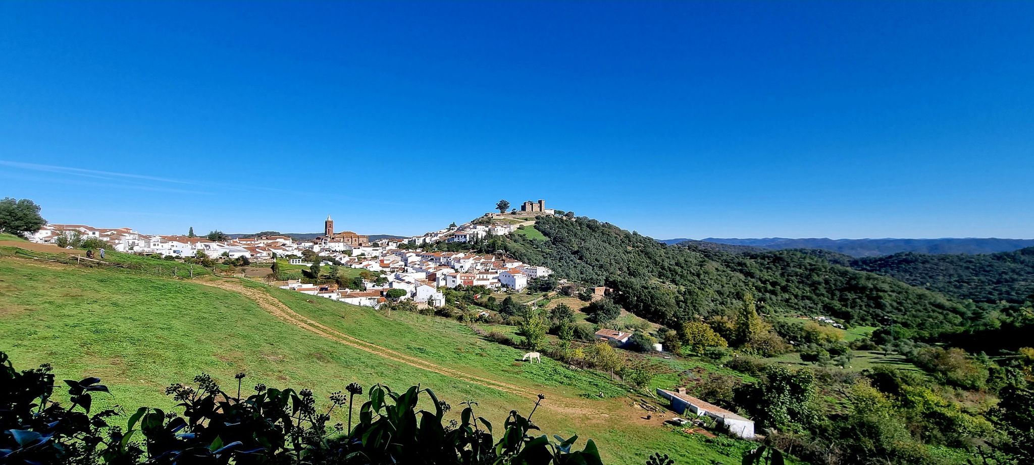
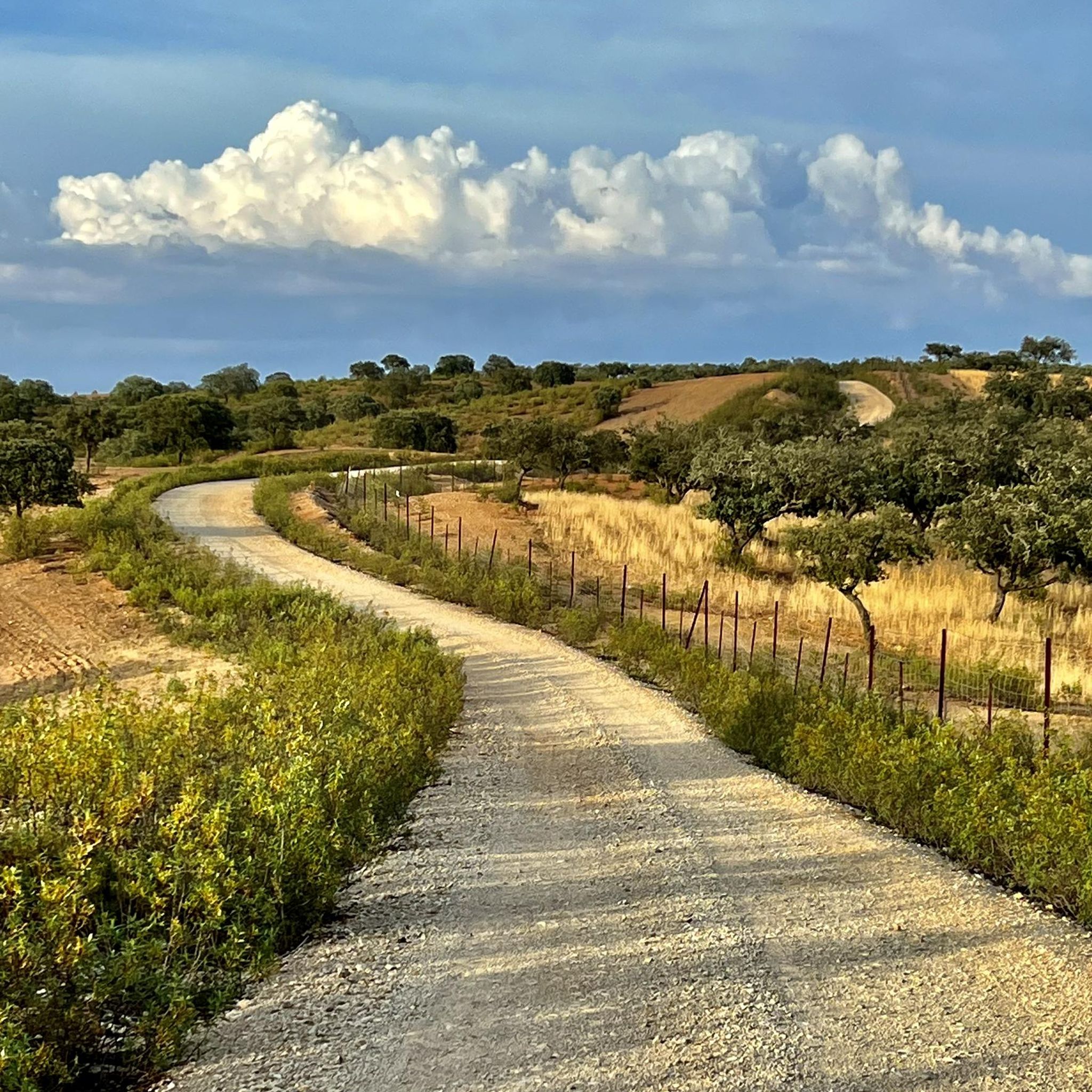
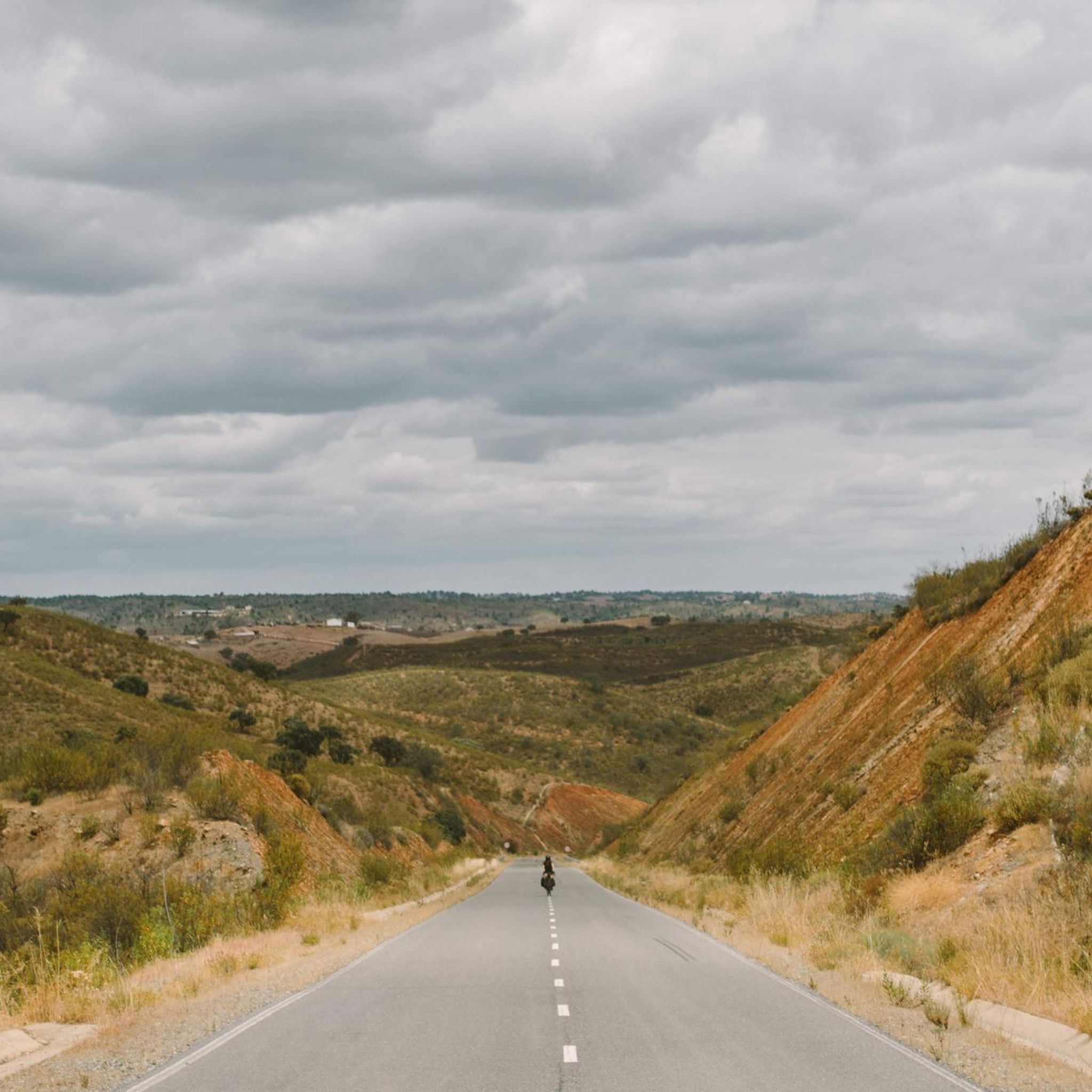
Hiking around Paymogo offers routes through rolling countryside and extensive farmlands in the province of Huelva, Andalusia. The region is characterized by the Chanza River, which forms part of the border with Portugal, and the Andévalo Reservoir. Terrain includes shallow, laminated slate soils and deeper clay soils, with riverbeds between steeply sloping hills, and the highest point reaching 252 meters at Cabezo del Bramadero.
Best hiking trails around Paymogo
- The most popular hiking route is Virgen de la Peña Trail…
Last updated: June 27, 2026
4.4
(10)
28
hikers
Moderate hike. Good fitness required. Easily-accessible paths. Suitable for all skill levels.
4.8
(4)
25
hikers
Moderate hike. Good fitness required. Easily-accessible paths. Suitable for all skill levels.

Sign up for free
3.8
(4)
9
hikers
Easy hike. Great for any fitness level. Easily-accessible paths. Suitable for all skill levels.
5.0
(2)
5
hikers
Easy hike. Great for any fitness level. Easily-accessible paths. Suitable for all skill levels.
4.5
(2)
5
hikers
Easy hike. Great for any fitness level. Easily-accessible paths. Suitable for all skill levels.
Get access to more routes and recommendations from other explorers.
Sign up for free
Already have an account?
Our route recommendations are based on thousands of hikes, rides, and runs completed by other people on komoot.
Start today with a free account
Your next adventure awaits.
Login or Signup

Other adventures around Paymogo

Tips from the Community

The São Domingos Mine is a living memory of a time of fire and iron. Here, where the earth opened up to reveal gold, silver, and copper since ancient times, one of the greatest legacies of the Iberian Pyrite Belt arose in the 19th century. Between 1854 and 1966, millions of tons of ore were extracted here, leaving not only its mark on the soil and landscape, but also progress: one of the country's first railway lines and the first power plant in the Alentejo. Today, the former mining complex is a public heritage site, a place of contrasts and rare beauty.
2
0
The old, abandoned copper mines resemble a lunar landscape: a strange and fascinating stage, illuminated by the reflections of copper-hued lakes. A road cuts through the landscape, guiding you along dirt roads. Streams and wells glow in unlikely colors, from copper to green to deep black. Signs warn of the dangers of the water, but nothing prevents your gaze from losing itself in the dramatic and unsettling beauty of the place.
2
0

With the beginning of mining and the development of the village, an imposing Catholic church was built near this site and consecrated in 1863. This church was destroyed twice, in 1876 and by fire in August 1938. The current church was not completed until 1951.
1
0
Nice little bar on the beach - not very busy and inexpensive.
3
0
Located in the tranquil setting of the Barragem da Tapada Grande reservoir, this river beach of the same name is a very pleasant recreational area with a sandy beach, lawns, and comprehensive infrastructure. Nearby is the village of Minas de São Domingos, which was developed in connection with the now-defunct mining operations.
4
1
Restaurant, far from the tourist crowds, menu only in Portuguese, very inexpensive, giant steak for 10 euros, great.
2
1

The name of this lake is “Tapada Grande” and it was a consequence of mining exploration between 1860 and 1960. Here there are picnic tables, a cafe and a river beach.
1
1
The name of this lake is “Tapada Grande” and it was a consequence of the mining exploration between 1860 and 1960.
1
0
Frequently Asked Questions
How many hiking trails are available around Paymogo?
There are 6 hiking routes around Paymogo, offering a variety of experiences. These include 1 easy trail and 5 moderate trails, ensuring options for different fitness levels.
What kind of terrain can I expect on hikes around Paymogo?
Hikes around Paymogo feature a diverse landscape, from rolling countryside and extensive farmlands to riverbeds between steeply sloping hills. The region is part of the Hesperian Massif, with soils primarily developed over Devonian and Carboniferous slates, as well as deeper clay soils in some areas. You'll encounter varied natural features, including the Chanza River and the Andévalo Reservoir.
What is the best time of year for hiking in Paymogo?
Paymogo enjoys a Mediterranean climate, making it suitable for hiking for much of the year. Winters are mild with infrequent temperatures below 0°C, and rainfall is concentrated in late autumn and winter. Summers can be very hot, reaching up to 40°C, so spring and autumn are generally the most pleasant seasons for outdoor activities.
Are there any historical sites or natural landmarks to see while hiking near Paymogo?
Yes, the area offers several points of interest. You can explore the historic Mina de São Domingos, visit the Achada do Gamo Copper Mine Ruins, or discover the Hermitage of La Peña of Puebla de Guzmán. The town of Paymogo itself also boasts a historic Moorish castle, offering expansive views of the surrounding countryside.
Can I find trails that explore the Chanza River area?
Yes, the Chanza River, which forms part of the natural border with Portugal, is a significant feature of the region. A hiking trail runs along its bank, offering a 14km route that passes by three mills. While not explicitly listed in the guide, the river's presence defines much of the local hiking experience, especially in cooler months.
Are there any trails near the Andévalo Reservoir?
Yes, several trails explore the area around the Andévalo Reservoir. For example, the Rest area by the lake – Mina de São Domingos loop is a 6.6-mile (10.6 km) trail that leads through landscapes around the reservoir. Another option is the Rest area by the lake – Church of Mina de São Domingos loop, which is 6.5 miles (10.4 km) and explores areas near the lake and the border region.
Are there family-friendly hiking routes in Paymogo?
Yes, there is an easy hiking route suitable for families. The Tapada Grande Bar – Rest area by the lake loop is a 5.1 km (3.2 miles) trail that is generally completed in about 1 hour 20 minutes, making it a good option for a leisurely family outing.
Are dogs allowed on hiking trails around Paymogo?
While specific regulations for dogs on trails are not detailed, the natural, open countryside and rural paths around Paymogo are generally welcoming to dogs. It's always advisable to keep dogs on a leash, especially near farmlands or wildlife, and to carry water for them, particularly during warmer months.
Are there circular hiking routes available?
Yes, many of the routes around Paymogo are designed as loops. Examples include the Virgen de la Peña Trail, the Rest area by the lake – Church of Mina de São Domingos loop, and the Rest area by the lake – Mina de São Domingos loop, all of which offer circular paths.
What do other hikers say about the trails in Paymogo?
The trails in Paymogo are highly rated by the komoot community, with an average score of 4.5 stars from over 30 reviews. Hikers often praise the serene landscapes, the opportunities to explore rural Spanish life, and the varied terrain that includes riverbanks and reservoir views.
What are the parking options for trailheads in Paymogo?
Many trails, particularly those around the Andévalo Reservoir and Mina de São Domingos, start from areas with designated parking, such as the Parque Estacionamento da Praia fluvial da Tapada Grande. For trails closer to Paymogo town, you can typically find parking within the village before heading out to the countryside paths.
Are there options for food and drink near the trails or in Paymogo?
Paymogo, with its charming whitewashed houses, offers a pleasant environment to explore after a hike, where you can find local cafes and pubs. Some routes, like the Tapada Grande Bar – Rest area by the lake loop, even pass by establishments like the Tapada Grande Bar, providing convenient stops for refreshments.
What is the highest point I can reach on a hike in Paymogo?
The highest point within the municipality of Paymogo is Cabezo del Bramadero, which reaches 252 meters. While specific trails to its summit are not detailed, many routes in the area will offer views of this and other elevated points within the rolling countryside.
Most popular attractions around Paymogo

Get inspired with the komoot mobile app


Explore more
Browse the best Hikes in other regions.
