The best walks and hikes around Belleydoux
4.4
(744)
5,199
hikers
197
hikes
Hiking around Belleydoux offers diverse landscapes, including forests, meadows, and mountainous terrain typical of a mid-mountain area. The region features notable natural elements such as limestone cliffs, deep valleys, and various peaks. Hikers can experience varied panoramas, with views extending over the Semine valley and towards the Mont Blanc massif from higher elevations. The area is characterized by its geological formations and a network of trails.
Best hiking trails around Belleydoux
- The most popular hiking route is Crêt de Chalam…
Last updated: June 27, 2026
3.0
(6)
42
hikers
17.0km
05:19
630m
630m
Hard hike. Very good fitness required. Mostly accessible paths. Sure-footedness required.
4.5
(4)
23
hikers
12.2km
04:15
570m
570m
Moderate hike. Good fitness required. Mostly accessible paths. Sure-footedness required.

Sign up for free
4.6
(5)
18
hikers
7.63km
02:31
300m
310m
Moderate hike. Good fitness required. Mostly accessible paths. Sure-footedness required.
4.0
(1)
11
hikers
Hard hike. Very good fitness required. Sure-footedness, sturdy shoes and alpine experience required.
14
hikers
9.41km
03:08
380m
380m
Moderate hike. Good fitness required. Mostly accessible paths. Sure-footedness required.
Get access to more routes and recommendations from other explorers.
Sign up for free
Already have an account?
Our route recommendations are based on thousands of hikes, rides, and runs completed by other people on komoot.
Start today with a free account
Your next adventure awaits.
Login or Signup
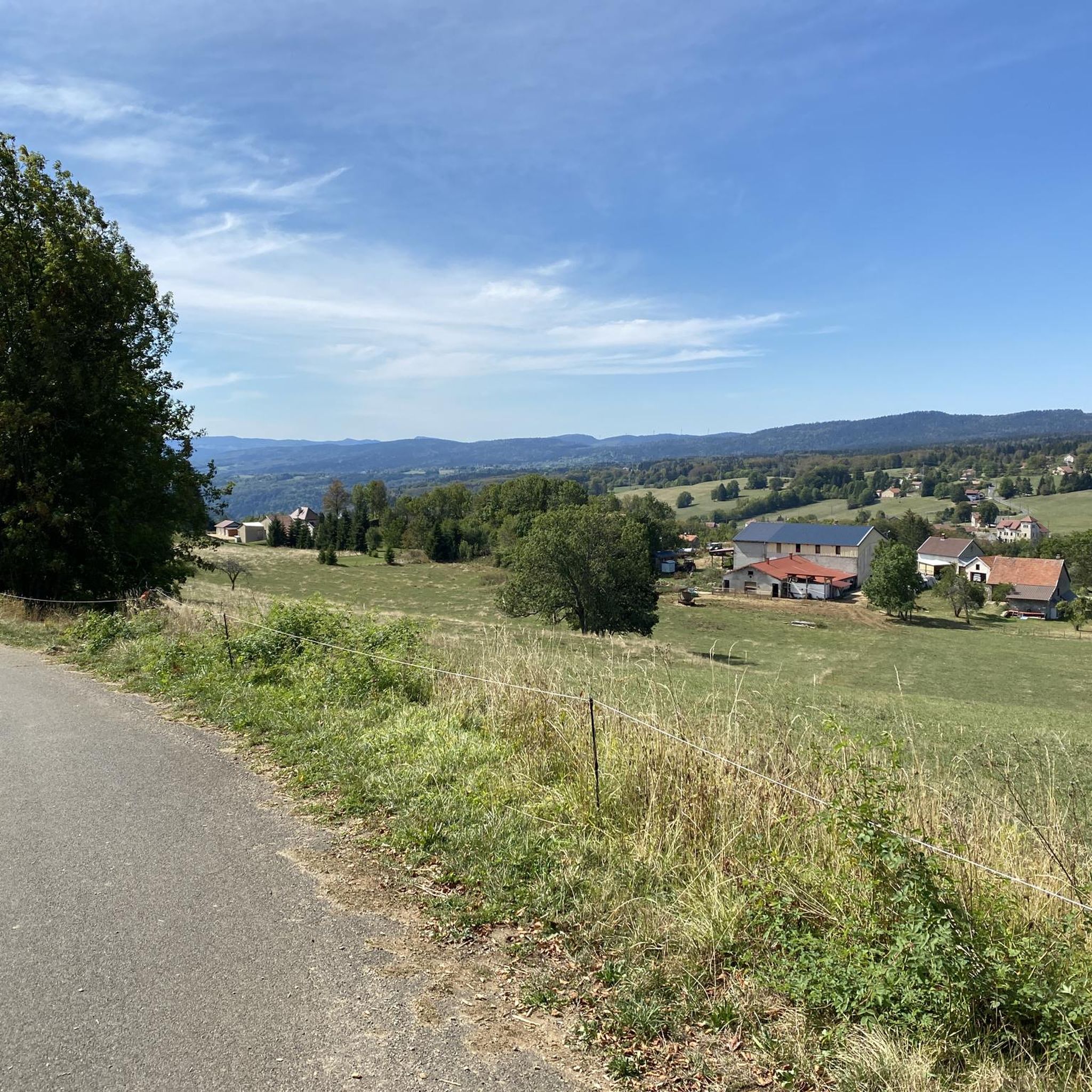
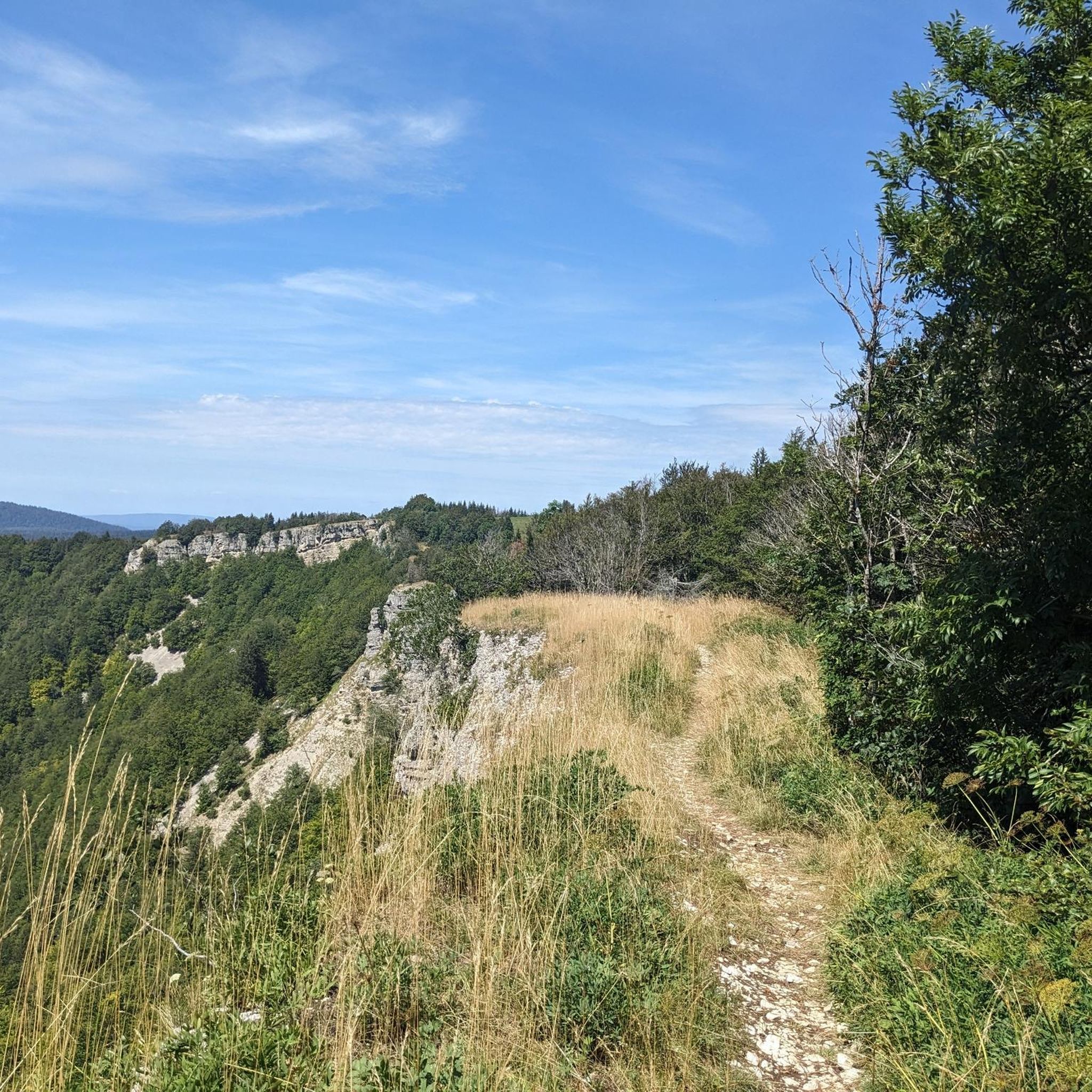
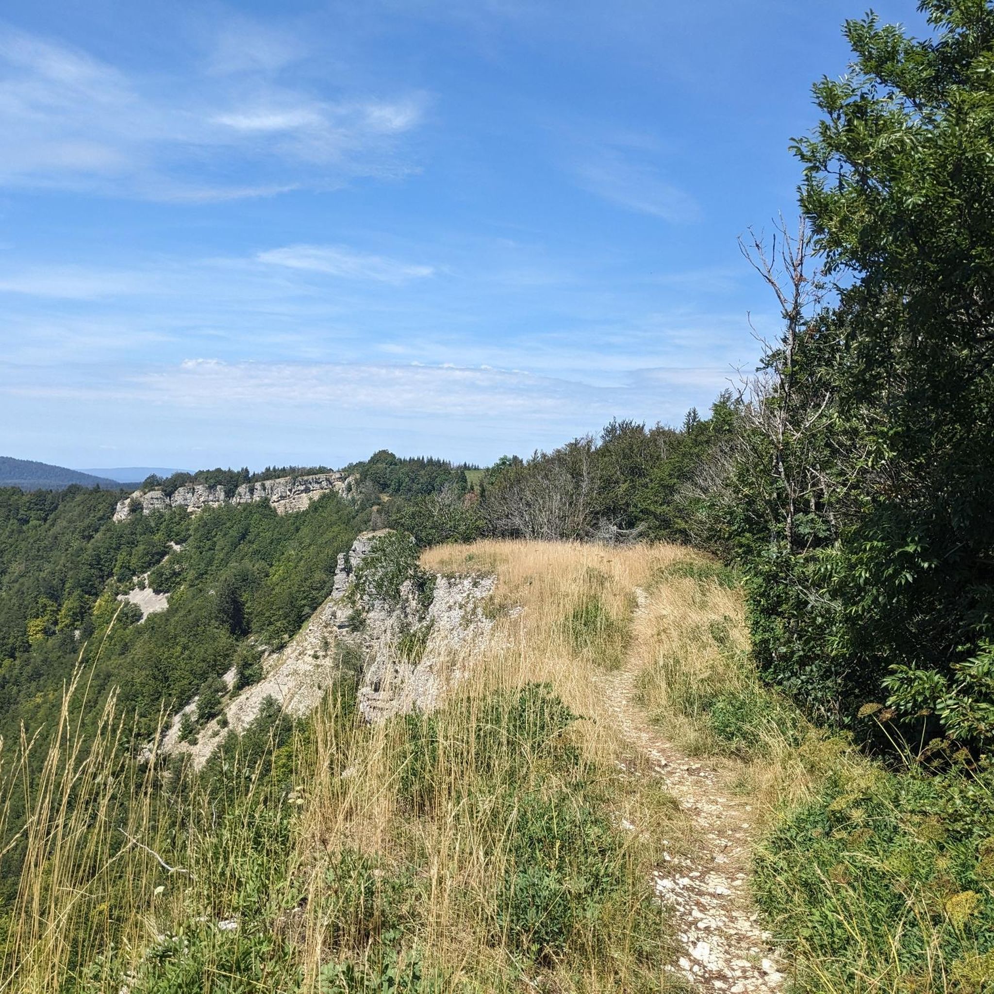
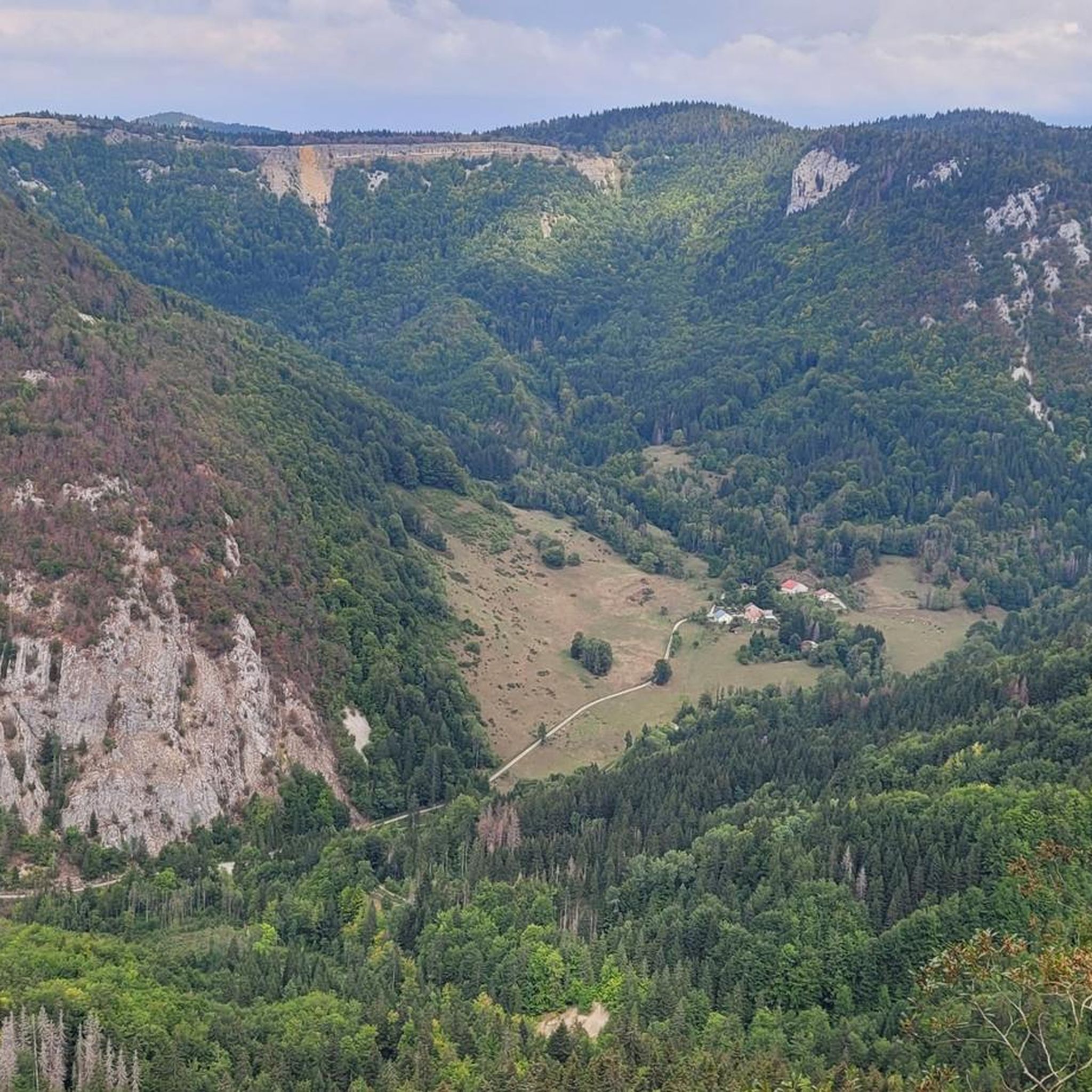

Tips from the Community


A stronghold of resistance and an ancient milestone on the Sardinian road that led to the Netherlands in the 17th century. A very beautiful view of the Jura Mountains, too.
0
0


The place is ideal for a picnic and to enjoy the view of the high Jura range.
0
0
Magnificent small summit with a view of the Alps and the Mont-Blanc massif. Depending on whether you go through the back or over the ridges, the ascent can be easy or technical and tricky. There is a bench at the top to enjoy the view.
1
0

The promontory offers a sublime panorama of the Roche Fauconnière cirque. The site has been classified as a “sensitive natural area” since 1936. The 150 meter high cliff dominates the Semine valley and faces the Orvaz valley.
0
0

A Jura village that offers a glimpse into the beautiful range of landscapes that surround it, including forests, meadows and cliffs.
0
0

The Crêt de Chalam culminates at 1,540 m and offers a view to the east of the Valserine valley, the summit of Reculet, the Mont-Blanc massif and to the south of the Grand Crêt d'Eau and the peaks of Bugey. .
2
0
Frequently Asked Questions
How many hiking trails are available around Belleydoux?
Belleydoux offers a wide variety of hiking opportunities, with over 200 routes available. These trails cater to different skill levels, ranging from easy walks to challenging ascents through mountainous terrain, dense woodlands, and past limestone cliffs.
What kind of views can I expect on hikes in Belleydoux?
Hikers in Belleydoux can enjoy curious panoramas. From higher elevations like Crêt de Chalam, you can see the Valserine valley and even the Mont Blanc massif. The Amazing view – Orvaz Rock loop from Belleydoux offers a remarkable viewpoint over the Semine valley, with the distinctive Roche Fauconnière cliff in sight.
Are there any family-friendly hiking options in Belleydoux?
Yes, Belleydoux has accessible paths and shorter trails suitable for families. While specific routes are not detailed as 'family-friendly' in the data, the region offers a range of difficulties, including 46 easy tours. Nearby, Lake Genin is also recommended for family outings.
Can I bring my dog on the hiking trails in Belleydoux?
Many trails in Belleydoux are generally dog-friendly, allowing you to explore the diverse landscapes with your canine companion. However, it's always advisable to keep dogs on a leash, especially in sensitive natural areas like Roche Fauconnière, and to check local regulations for specific routes or protected zones.
Are there any circular hiking routes in the area?
Yes, Belleydoux features several excellent circular routes. For a challenging experience with extensive views, consider the Crêt de Chalam – Beautiful view loop from Circuits Chiens de Traineaux. A moderate option is the Le Pont d’Orvaz loop from Belleydoux, which is 8.8 km long.
What are some notable natural features or landmarks to look out for?
The region is rich in natural landmarks. You can explore the Crêt de Chalam for panoramic views, or witness the impressive Roche Fauconnière cliff, a classified sensitive natural area. Keep an eye out for the distinctive 'Chapeau de Gendarme' geological formation and the historic 'Chemin du Facteur' (Postman's Path) along certain trails.
Are there any waterfalls near Belleydoux?
Yes, the Moulin de Vulvoz Waterfall is a notable natural attraction in the vicinity of Belleydoux, offering a picturesque spot to visit during your hiking adventures.
What is the best time of year to go hiking in Belleydoux?
The best time to hike in Belleydoux is generally from spring to autumn when the weather is mild and trails are clear. Summer offers lush greenery, while autumn brings vibrant colors. Winter hiking is possible, but some higher elevation trails may be covered in snow and require appropriate gear and experience.
What do other hikers enjoy most about hiking in Belleydoux?
The area is highly rated by the komoot community, with an average score of 4.4 stars from over 600 reviews. Reviewers often praise the diverse landscapes, from forests and meadows to mountainous terrain, and the rewarding panoramic views, especially from spots like Crêt de Chalam and Roche d'Orvaz.
Are there any challenging hikes for experienced hikers?
Absolutely. For experienced hikers, there are challenging routes such as the La Roche Fauconnière – Viewpoint of Roche Fauconnière loop from Ancienne Fromagerie, which covers 21.6 km with significant elevation gain. Another demanding option is the Orvaz Rock – Amazing view loop from Belleydoux, a 15 km trail with nearly 700m of ascent.
What other outdoor activities are available in Belleydoux besides hiking?
Beyond hiking, Belleydoux and its surroundings offer opportunities for other outdoor pursuits. Canyoning is popular in the Semine canyon, involving jumping, rappelling, and swimming. The region also provides options for climbing, fishing, and mountain biking, catering to a wide range of adventurers.
Where can I find parking for hiking trailheads in Belleydoux?
While specific parking locations for every trailhead are not detailed, Belleydoux is a small commune, and parking is generally available near village centers or designated starting points for popular trails. It's advisable to check local signage or online maps for specific trailhead parking information before your hike.
Most popular attractions around Belleydoux

Get inspired with the komoot mobile app


Explore more
Browse the best Hikes in other regions.
