The best road cycling routes around Plagne
4.2
(89)
2,118
riders
114
rides
Road cycling around Plagne, nestled in the French Alps, offers diverse landscapes characterized by significant mountain passes, sustained climbs, and scenic descents. The region features high altitudes ranging from 1,250 meters to 3,250 meters above sea level, providing challenging terrain for road cyclists. Glacial lakes like Lake Nantua and Lake Genin, along with extensive forests and the protected areas of Vanoise National Park, contribute to the varied natural environment. This combination of physical features makes Plagne an ideal destination for…
Last updated: July 11, 2026
3.5
(4)
62
riders
50.5km
02:34
840m
830m
Moderate road ride. Good fitness required. Mostly well-paved surfaces and easy to ride.
5.0
(5)
33
riders
52.4km
02:37
840m
840m
Moderate road ride. Good fitness required. Mostly well-paved surfaces and easy to ride.

Sign up for free
5.0
(2)
29
riders
46.8km
02:28
880m
880m
Moderate road ride. Good fitness required. Mostly well-paved surfaces and easy to ride.
3.0
(1)
9
riders
91.3km
05:01
1,840m
1,840m
Hard road ride. Very good fitness required. Mostly well-paved surfaces and easy to ride.
4.9
(16)
10
riders
48.0km
02:25
800m
800m
Moderate road ride. Good fitness required. Mostly well-paved surfaces and easy to ride.
Get access to more routes and recommendations from other explorers.
Sign up for free
Already have an account?
Our route recommendations are based on thousands of hikes, rides, and runs completed by other people on komoot.
Start today with a free account
Your next adventure awaits.
Login or Signup
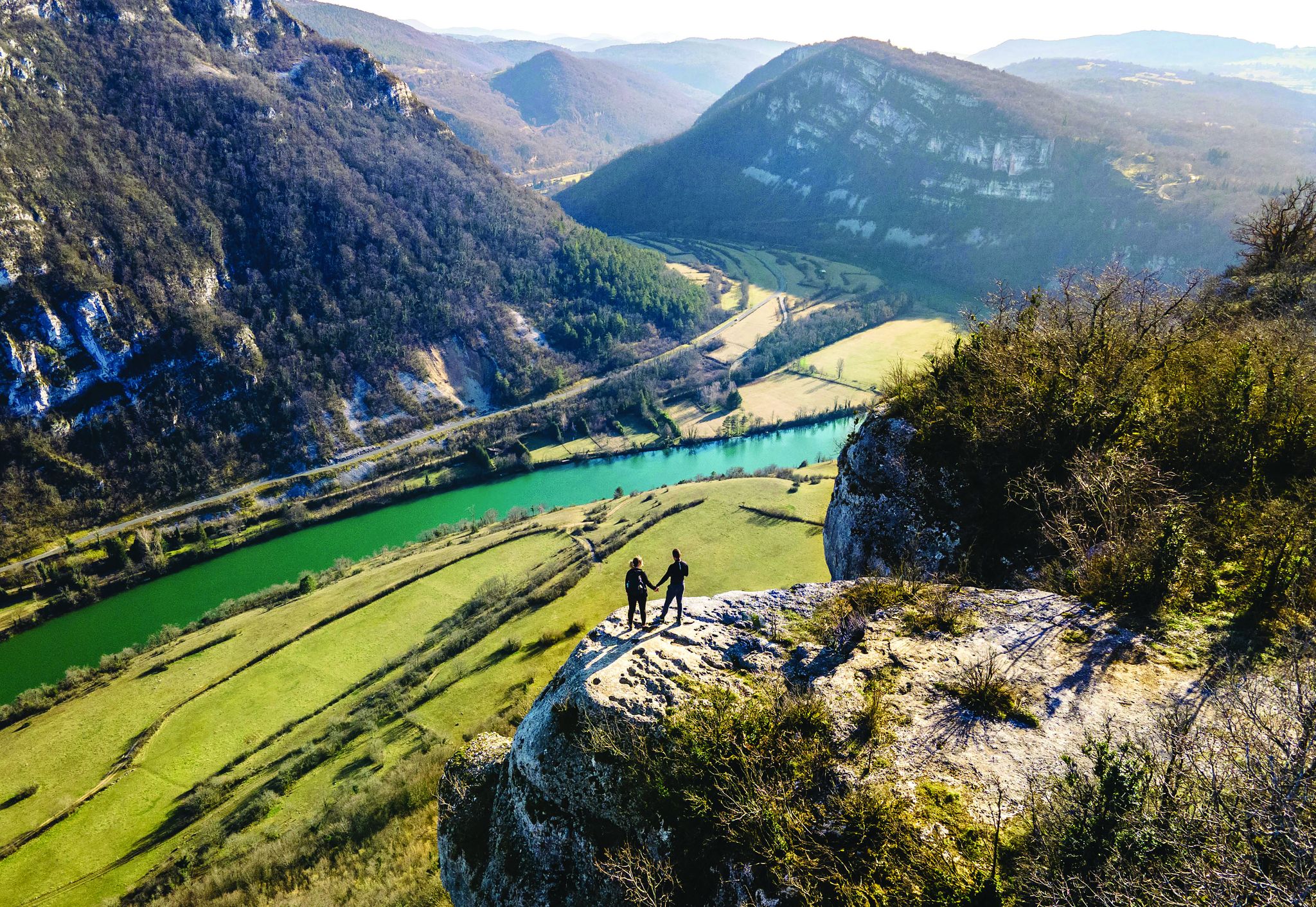
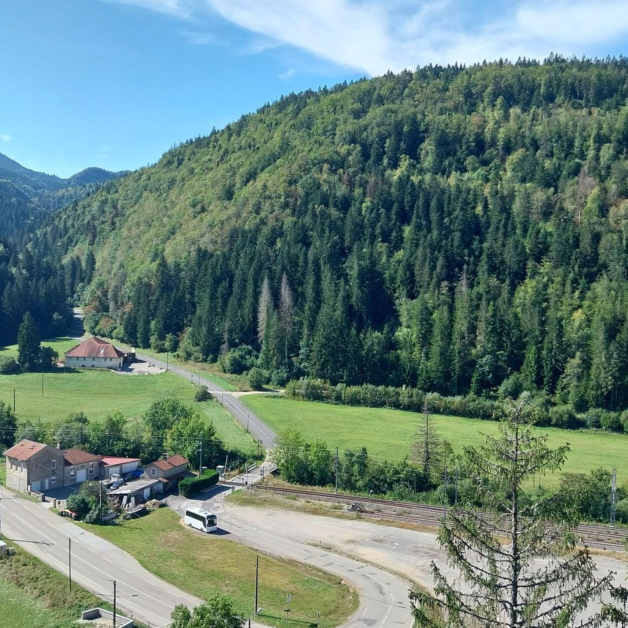

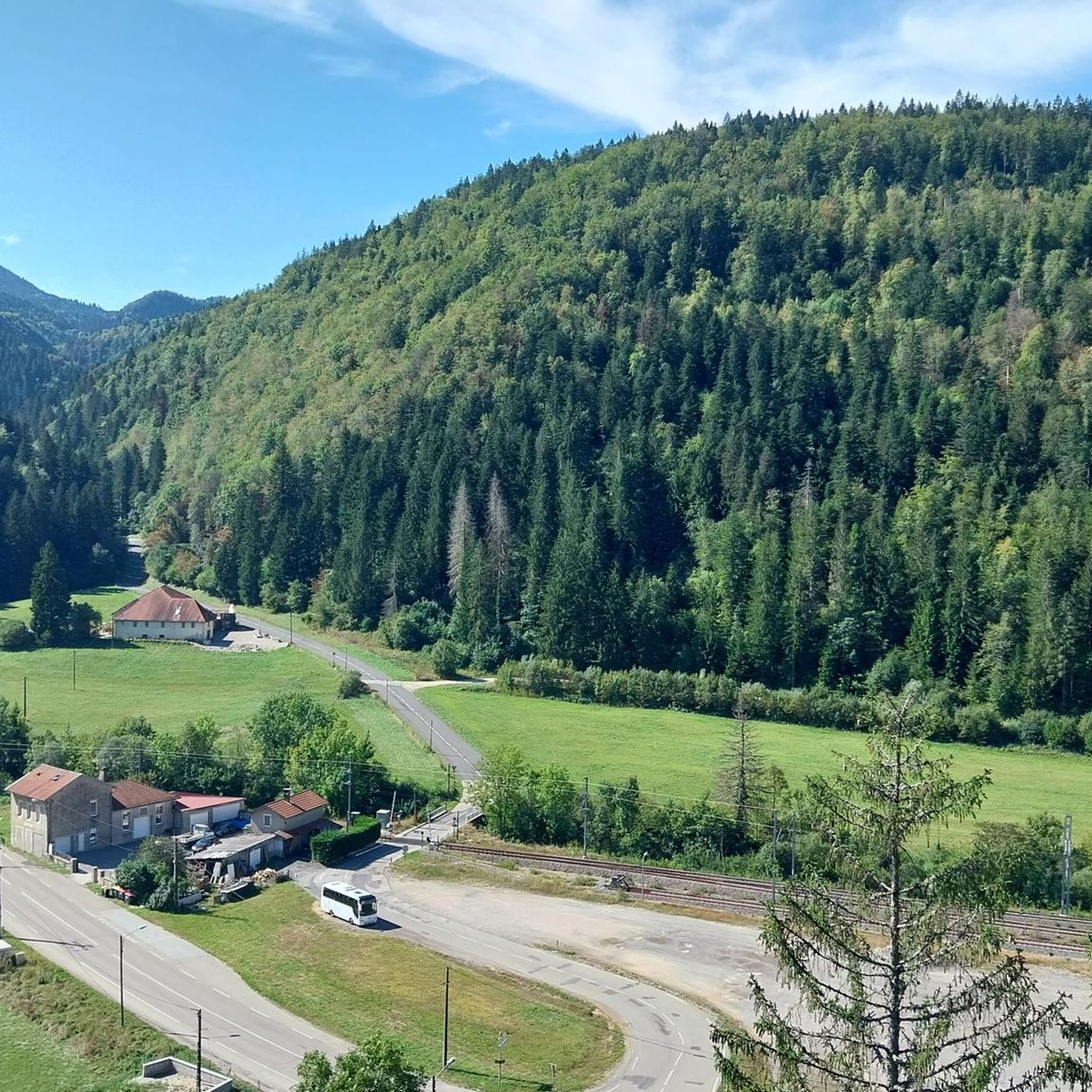
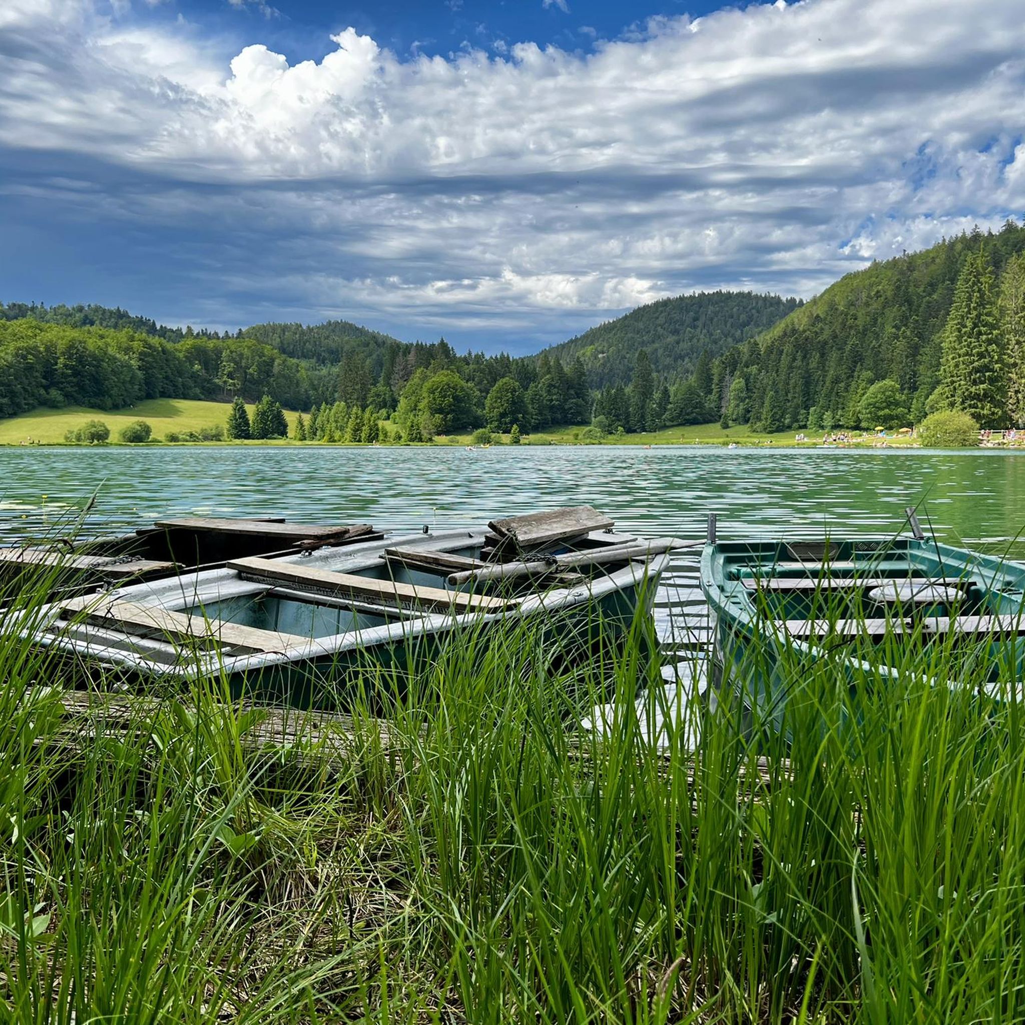
Other adventures around Plagne

Tips from the Community

The Peney viewpoint overlooks Lake Sylans, on which it offers a beautiful view. Classified since 1909, one can distinguish on its banks the ruins of the old ice factories which commercialized the ice extracted from the lake until 1917. The passage is located at the level of the tunnel of the same name.
0
0
The Marron ponds are named after a family from Brénod, it is not a reference to the color of the water. Only one of them remains filled with water all year round. This one served as a water reserve and fishing spot for the monks of the Meyriat abbey. In spring, a multitude of water lilies cover the surface.
0
0

Nestled in pastures at an altitude of 1,000 meters, Giron is the highest (and sunniest!) village in the Ain. Welcoming, with breathtaking views, it is ideal for an overnight stop.
0
0

Here is the route for the ascent of the Col de Cuvillat starting from Champdor
1
0

With this memorial, the community commemorates several victims of the Second World War. The 'camp des marais de Chautagne', where Jewish citizens were interned, was located in the Saumont district. The memorial site here—designed with the so-called 'Lorraine Cross' (a cross with two crossbars at the top) as its central element—is dedicated to courageous resistance fighters against the Nazi regime.
0
0

Beautiful, simple, easy walk; lots of traffic noise on the "road" section, a bit of a shame, but the color of the water is magical
1
0

The Col de Cuvillat connects Brénod to Champdor in the heart of Haut-Bugey. Easily accessible, it winds through forests and high-altitude meadows and reaches an altitude of 1,073 meters.
0
1
Frequently Asked Questions
How many road cycling routes are available around Plagne?
Plagne offers a wide selection of road cycling routes, with over 110 different tours available. These routes cater to various skill levels, including easy, moderate, and difficult options.
What kind of terrain can I expect on road cycling routes in Plagne?
Road cycling in Plagne features diverse terrain, from demanding climbs over significant mountain passes to scenic descents. The region's high altitude, ranging from 1,250 to 3,250 meters above sea level, ensures challenging gradients and breathtaking views. You'll encounter picturesque glacial lakes, dense Jura forests, and open plateau landscapes.
Are there any easy road cycling routes suitable for beginners in Plagne?
Yes, Plagne offers several easy road cycling routes perfect for beginners or those seeking a more relaxed ride. While the region is known for its challenging mountain passes, there are at least 6 routes categorized as easy. These routes often feature gentler gradients and less demanding distances.
Where can I find scenic viewpoints or natural features along the road cycling routes in Plagne?
Plagne is rich in natural beauty. Many routes offer stunning views of glacial lakes like Lake Nantua, known for its sapphire or emerald colors, and Lake Genin, often called 'the little Canada of Haut-Bugey'. You can also explore areas like the Valserine Gorges, where the river carves unique formations. The Lake Nantua – View of Lake Nantua loop from Le Poizat-Lalleyriat is a popular moderate route offering excellent lake views.
Are there any circular road cycling routes in Plagne?
Many of the road cycling routes in Plagne are designed as loops, allowing you to start and finish at the same point. For example, the popular Lake Nantua – View of Lake Nantua loop from Le Poizat-Lalleyriat and the La Pesse–Lajoux–Lamoura – Plateau towards La Pesse loop from Échallon are both circular routes that showcase the region's diverse landscapes.
What is the best time of year for road cycling in Plagne?
The best time for road cycling in Plagne is typically during the warmer months, from late spring to early autumn (May to October). During this period, mountain passes are generally clear of snow, and the weather is more favorable for cycling. Always check local weather conditions before heading out, especially for higher altitude routes.
Are there options for advanced road cyclists looking for a challenge?
Absolutely. Plagne is renowned for its challenging terrain, making it an ideal destination for advanced road cyclists. Over 50 routes are classified as difficult, featuring significant elevation gains and demanding climbs, such as those found on the Saint-Germain-de-Joux – Côte de Viry loop from Saint-Germain-de-Joux. The region's mountain passes provide sustained gradients, with some sections reaching over 8.5%.
What do other road cyclists enjoy the most about road cycling in Plagne?
The komoot community highly rates road cycling in Plagne, with an average score of 4.4 stars from over 80 reviews. Cyclists frequently praise the region's stunning and diverse landscapes, the challenge of its mountain passes, and the picturesque glacial lakes. The quiet roads and beautiful views are often highlighted as key attractions.
Are there any road cycling routes that pass through the Vanoise National Park?
While specific road cycling routes may not directly traverse the deepest parts of Vanoise National Park, a significant portion of Plagne, particularly Champagny-en-Vanoise, lies within its boundaries. This means many routes will offer views and access to the park's periphery, allowing you to experience its rich biodiversity and dramatic high-altitude scenery. The park is known for its diverse flora and fauna, including chamois, ibex, and marmots.
Can I find routes that offer a mix of forest and open landscapes?
Yes, Plagne's geography provides routes that combine both dense forests and open landscapes. You can cycle through extensive communal forest lands, including unique habitats like stone pine groves, and then emerge to panoramic views of mountain passes and plateaus. The Col de la Cheminée – Cuvillat Pass loop from Le Poizat offers a good example of varied scenery.
Are there any specific routes that highlight the glacial lakes of the region?
Many routes in Plagne feature its stunning glacial lakes. The Lake Nantua – Lac de Nantua loop from Le Poizat-Lalleyriat is an excellent choice, offering extensive views of Lake Nantua. These lakes, with their distinct colors and dramatic backdrops of limestone cliffs, provide picturesque settings for a ride.
Most popular attractions around Plagne

Get inspired with the komoot mobile app


Explore more
Browse the best Road cycling routes in other regions.
