The best walks and hikes around Bönningstedt
3.9
(116)
596
hikers
30
hikes
Hiking around Bönningstedt offers access to a landscape characterized by woodlands, small streams, and open fields. The region features generally flat terrain, with minimal elevation changes, making it suitable for accessible walks. Trails often follow waterways and lead through forested areas, providing a natural setting for outdoor activity. This area provides a network of paths connecting local green spaces and residential areas.
Best hiking trails around Bönningstedt
- The most popular hiking route is Bönningstedt Stork Nest – Forest Path loop…
Last updated: July 5, 2026
4.4
(24)
80
hikers
5.01km
01:16
10m
10m
Easy hike. Great for any fitness level. Easily-accessible paths. Suitable for all skill levels.
4.6
(21)
64
hikers
7.37km
01:52
10m
10m
Easy hike. Great for any fitness level. Easily-accessible paths. Suitable for all skill levels.

Sign up for free
4.6
(5)
31
hikers
5.57km
01:25
10m
10m
Easy hike. Great for any fitness level. Easily-accessible paths. Suitable for all skill levels.
4.5
(4)
27
hikers
20.4km
05:10
30m
30m
Hard hike. Very good fitness required. Easily-accessible paths. Suitable for all skill levels.
4.8
(5)
28
hikers
Easy hike. Great for any fitness level. Easily-accessible paths. Suitable for all skill levels.
Get access to more routes and recommendations from other explorers.
Sign up for free
Already have an account?
Our route recommendations are based on thousands of hikes, rides, and runs completed by other people on komoot.
Start today with a free account
Your next adventure awaits.
Login or Signup

Tips from the Community

This mountain hut, or Wolnysee, is a great destination. I cycled past there on my tour "Borstel-Hohenraden und Pinneberg" and am adding a few pictures
0
0

Herzstykke Restaurant, Wedding Location & Event Location
0
0

The hiking trail "Schlei-Eider-Elbe" also leads along here. All information about the hiking trail can be found at the following link: https://www.wildganz.com/fernwanderweg/schlei-eider-elbe (Status: 12.04.2026).
0
0
The "Schlei-Eider-Elbe" hiking trail also leads along here. All information about the hiking trail can be found at the following link: https://www.wildganz.com/fernwanderweg/schlei-eider-elbe (Status: 12.04.2026).
0
0
The hiking trail "Schlei-Eider-Elbe" also leads along here. All information about the hiking trail can be found at the following link: https://www.wildganz.com/fernwanderweg/schlei-eider-elbe (Status: 12.04.2026).
0
0

Good restaurant with a nice outdoor terrace
0
0

The wonderful little works of art along the Midwives' Path created a magical atmosphere. Unfortunately, they were completely removed a few months ago. Pw 11/25
0
0
It's good that storks are given such nesting opportunities. This stork's nest is part of the tour "Through Meadows and Moors to Garstedt." On this tour, I had a flat tire and had to take a taxi to the bike shop. Afterwards, I was disappointed with the Komoot navigation. After a while, I continued on, using my own local knowledge.
0
0
Frequently Asked Questions
How many hiking trails are available around Bönningstedt?
There are over 30 hiking routes around Bönningstedt listed on komoot. These trails offer a variety of experiences, from easy strolls through local green spaces to more challenging, longer excursions.
Are there any easy, short circular walks suitable for beginners?
Yes, Bönningstedt offers several easy, circular routes perfect for beginners. For example, the Ostermoor loop from Bönningstedt is an easy 3.4 km (52-minute) walk, ideal for a quick and pleasant outing through local nature.
What kind of terrain can I expect on hikes in Bönningstedt?
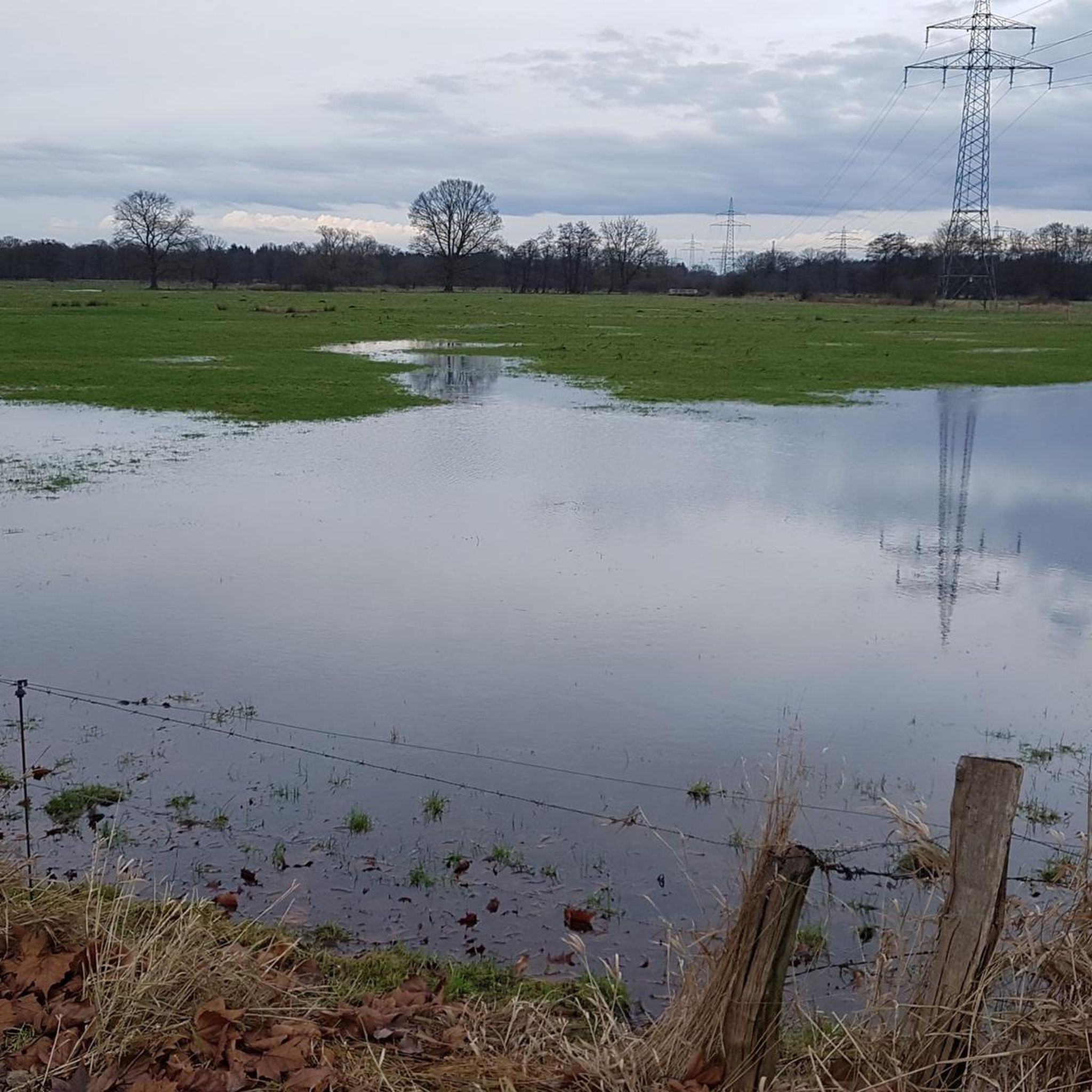
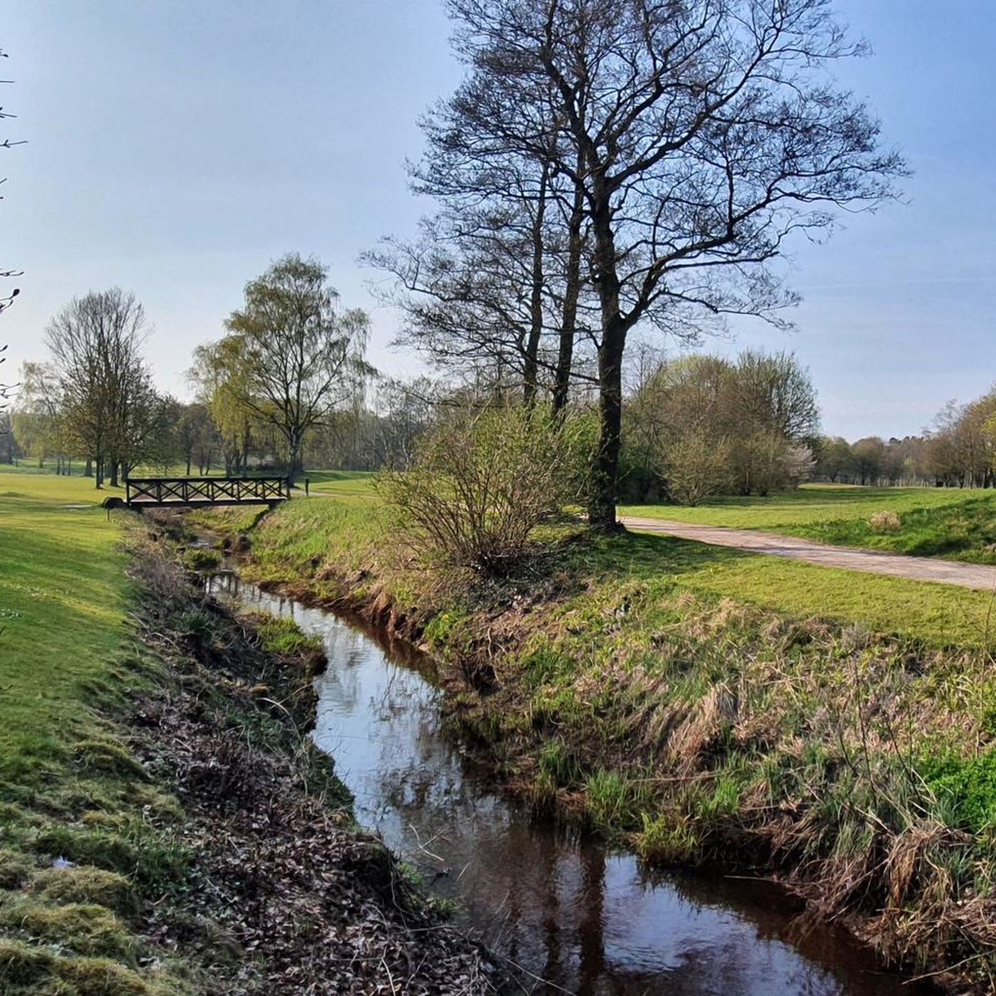
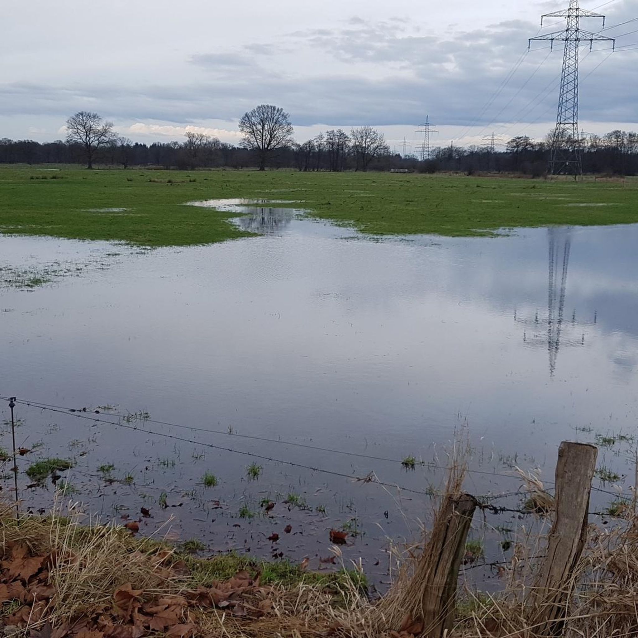
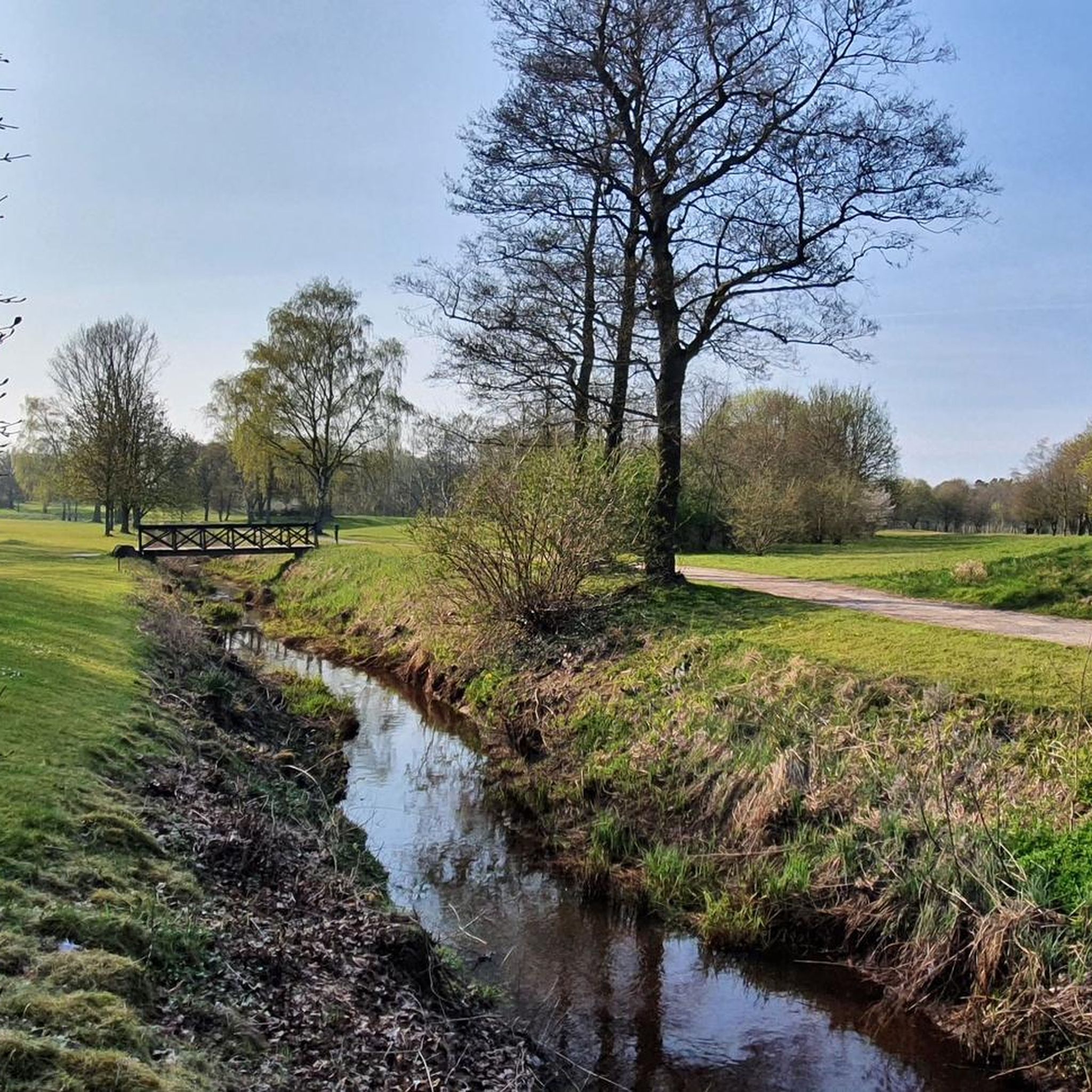
The terrain around Bönningstedt is generally flat with minimal elevation changes. You can expect to walk through dense woodlands, along small streams, and across open fields. The paths often connect local green spaces and residential areas, providing a natural setting for outdoor activity.
Are there any family-friendly hiking options in Bönningstedt?
Many of the trails in Bönningstedt are suitable for families due to their generally flat and accessible nature. Routes like the Forest Trail Near Beekbrücke loop from Bönningstedt, an easy 5.6 km (1 hour 24 minute) walk, are great for enjoying nature with children.
What do other hikers say about the trails in Bönningstedt?
The hiking trails in Bönningstedt are highly rated by the komoot community, with an average score of 3.9 stars from over 100 reviews. Hikers often praise the quiet woodlands, well-maintained paths, and the peaceful atmosphere of the region.
Are there any places to stop for a break or a coffee along the trails?
Yes, there are facilities and cafes nearby. You might find the Corell Forest Café a convenient stop. Additionally, there are shelters and rest areas such as the Rest area at the Himmelmoor Moor Educational Trail and the Shelter at Wolnysee.
Are there any longer or more challenging hikes for experienced hikers?
While most trails are easy, there is a more challenging option for experienced hikers. The Wolny Lake – Pinnau Bridge loop from Bönningstedt is a difficult 20.7 km route that takes approximately 5 hours and 14 minutes to complete, offering a longer adventure.
What are some notable natural attractions or landmarks I can see while hiking?
Hikers can explore several natural and historical points of interest. The Himmelmoor Nature Reserve is a significant natural area nearby. You might also encounter the Hindenburg Bridge or enjoy views like the View of the Outer Alster on some routes.
Is Bönningstedt well-connected by public transport for hikers?
Bönningstedt has a train station, making it accessible by public transport. Many routes, such as the Bönningstedt Station – Hebammenstieg loop from Bönningstedt, start directly from the station, allowing for convenient access without a car.
Are dogs allowed on the hiking trails in Bönningstedt?
Generally, dogs are welcome on hiking trails in Bönningstedt. The region's woodlands and open fields provide ample space for walks with your canine companion. However, always keep dogs on a leash, especially in nature reserves or near wildlife, and be mindful of local regulations.
What is the best time of year to go hiking in Bönningstedt?
Bönningstedt offers pleasant hiking experiences throughout the year. Spring brings blooming flora, summer provides lush green canopies, and autumn showcases vibrant fall colors. Even in winter, the generally flat trails can be enjoyed, though conditions may vary.
Are there any specific viewpoints or scenic spots along the trails?
While Bönningstedt's terrain is mostly flat, you can find scenic spots. The Tutenberg Gazebo, Altona Volkspark offers a nice vantage point. Many trails also provide picturesque views of the small streams and open fields characteristic of the region.
Most popular routes around Bönningstedt
Most popular attractions around Bönningstedt

Get inspired with the komoot mobile app


Explore more
Browse the best Hikes in other regions.
