Top 10 Mountain Passes around Glandage
Best mountain passes around Glandage, France, are situated within the Drôme region, part of the Vercors Regional Nature Park. This area features striking vertical rock formations, diverse forests, and numerous mountain passes. These passes offer varied experiences, from accessible routes to those with historical significance, providing panoramic views of the surrounding landscapes.
Best mountain passes around Glandage
- The most popular mountain pass is D539 Mountain Road, Parc Naturel Régional du Vercors, a mountain pass that combines elevation with charming…
Last updated: June 26, 2026
Col de Grimone (1318 m)
Highlight • Mountain Pass
Tip by

D539 Mountain Road, Parc Naturel Régional du Vercors
Highlight • Mountain Pass
Translated by Google •
Tip by

Sign up now to discover places like this
Get recommendations on the best single tracks, peaks, & plenty of other exciting outdoor places.
Sign up for free
Col du Banchet
Highlight • Mountain Pass
Translated by Google •
Tip by

Col de Menée Vulture Observation Point
Highlight • Mountain Pass
Translated by Google •
Tip by

Croix Haute Pass
Highlight • Mountain Pass
Translated by Google •
Tip by

Sign up for free to discover even more mountain passes around Glandage.
Sign up for free
Already have an account?
Start today with a free account
Your next adventure awaits.
Login or Signup

Tips from the Community

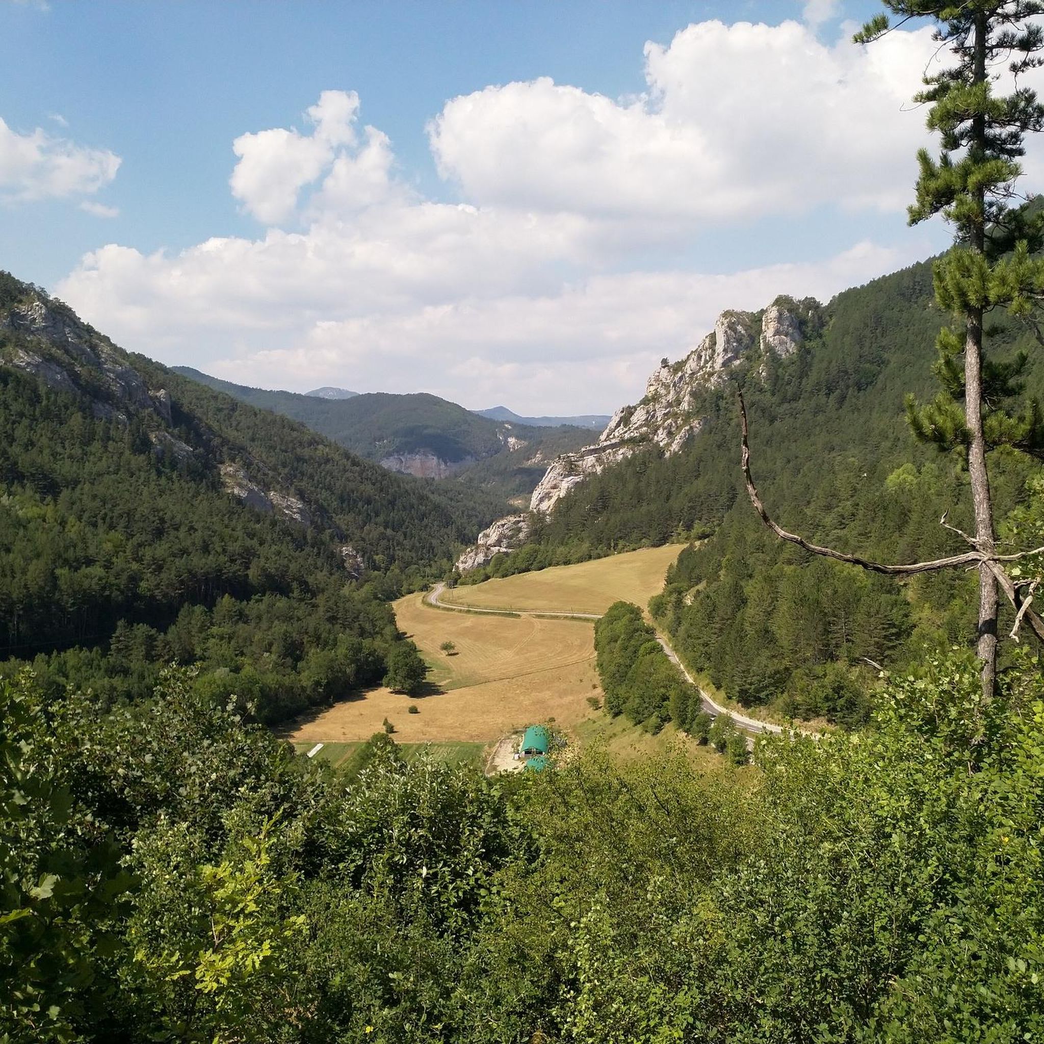
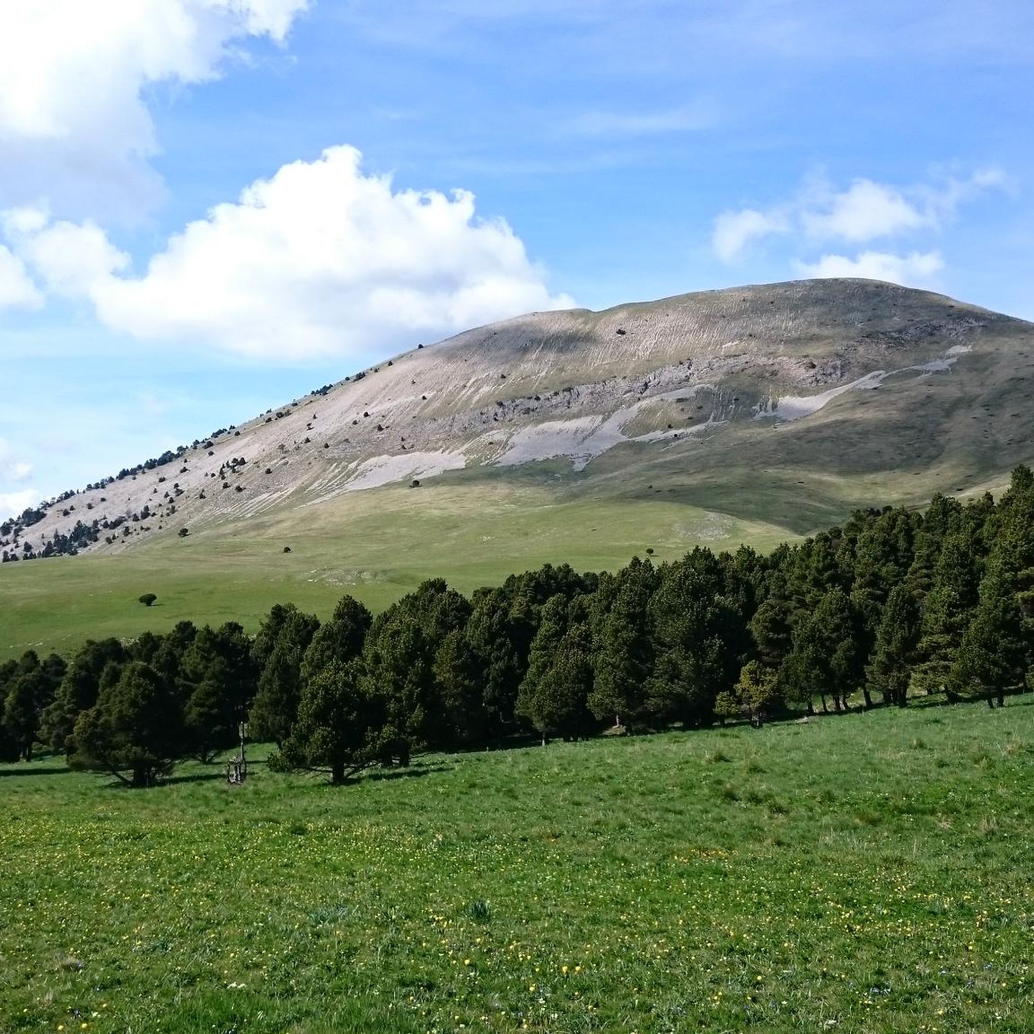
It's a small pass that connects Lalley and Mens. It reaches an altitude of 900m. At the summit, there's a beautiful view of the Dévoluy mountains.
0
0

magnificent little walk to do
0
0

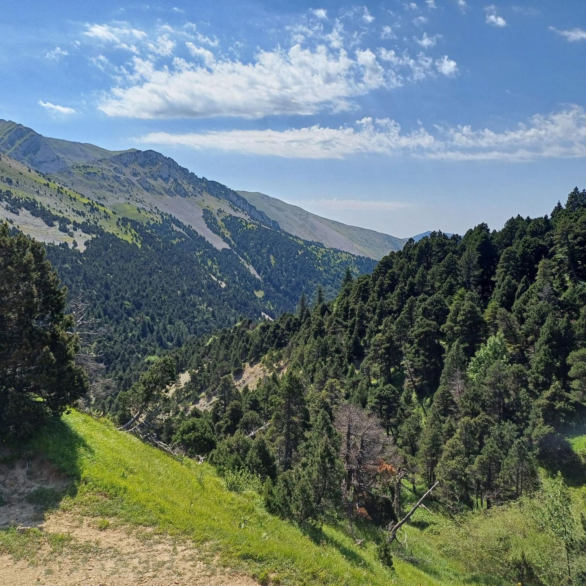
On the edge of the Vercors plateaus, there are superb mountain roads that combine elevation and charming landscapes. The D 539 is one of them.
1
0

The Col de Menée is a pass in the French Alps, located between the Vercors and Diois massifs, in the communes of Percy and Treschenu-Creyers, in the Auvergne-Rhône-Alpes region, at 1,457 m above sea level. It is considered the limit between Trièves and Diois.
0
0

Quiet climb of the Col de la Menée before a long descent to Châtillon
0
0

The Col de la Croix Haute from Saint-Maurice-en-Trièves is 6km long with a total drop of 309m. The average gradient is 5.1% with maximum gradients of 13.5%.
1
0

Small pass with little elevation and a superb view of the Dévoluy and Vercors massifs.
0
0

Ideal for a short break with a great view
0
0
Frequently Asked Questions
What are some of the most popular mountain passes to visit around Glandage?
Visitors frequently enjoy D539 Mountain Road, Parc Naturel Régional du Vercors for its superb mountain roads and charming landscapes. Another favorite is Col de Grimone (1318 m), known for its easy climb and pleasant valley, especially rewarding in warm weather. Col du Banchet is also popular for a quick stop with excellent views of the Dévoluy and Vercors massifs.
Are there mountain passes around Glandage with historical significance?
Yes, the region is rich in history. The area around Col de Grimone (1318 m) is particularly notable, as it's a starting point for hikes that can lead to the Col des Prêtres. This pass holds historical weight, having been traversed by Templars as early as the 12th century and later by priests connecting to the diocese of Die.
What kind of views can I expect from the mountain passes in the Glandage region?
The mountain passes around Glandage offer breathtaking panoramic views. From the vicinity of Col de Grimone (1318 m), you can see the entire Vercors massif and the sharp chain of Dévoluy. Col du Banchet, at 900m, provides a superb view of the Dévoluy and Vercors massifs. The region is characterized by striking vertical rock formations and diverse forests, adding to the scenic beauty.
Are there easy or family-friendly mountain passes for hiking near Glandage?
Yes, the region offers accessible trails suitable for varying skill levels. The climb to Col de Grimone (1318 m) from Lus-la-Croix-Haute is considered easy, with a gentle average gradient. The Col des Prêtres, often included in a circular hike from Col de Grimone, is also known for its accessible paths, making it ideal for those who prefer less challenging routes.
What outdoor activities can I do near these mountain passes?
The area around Glandage is excellent for various outdoor activities. You can find numerous routes for cycling, gravel biking, and mountain biking. For example, there are challenging cycling tours like the 'Gorges of the Gats – Col de Menée loop' from Glandage, or moderate MTB trails such as the 'Col du Banchet – Mens loop' from Lalley. Explore more options on the Cycling around Glandage, Gravel biking around Glandage, and MTB Trails around Glandage guide pages.
What natural features are prominent around the mountain passes in Glandage?
The Glandage region, situated within the Vercors Regional Nature Park, is known for its striking vertical rock formations and diverse forests, including remarkable beech-fir forests. You'll also encounter magnificent meadows, especially around passes like Col de Boulc, which offer an immersive experience in the working landscapes of the Drôme mountains.
Are there any unique archaeological sites near the mountain passes?
Yes, the area near Col Varaime, an isolated mountain territory, is notable for the 'Tune de la Varaime.' This Neolithic site, located at an altitude of 1400 meters, features ancient rock art with thousands of signs characteristic of schematic linear art, offering a profound connection to the ancient past amidst the serene mountain environment.
What do komoot users say about the mountain passes around Glandage?
Komoot users appreciate the mountain passes around Glandage for their scenic beauty and varied experiences. For instance, D539 Mountain Road, Parc Naturel Régional du Vercors is described as having 'superb mountain roads that combine elevation and charming landscapes.' Users also note the pleasant, low-traffic valleys near Col de Grimone (1318 m) and the 'superb view' from Col du Banchet.
What is the best time to visit the mountain passes in the Glandage region?
While the passes offer beauty year-round, many visitors find the warmer months particularly rewarding. For example, Col de Grimone (1318 m) is noted as being 'especially rewarding in hot weather.' The diverse forests and meadows are vibrant during spring and summer, making these seasons ideal for hiking and enjoying the panoramic views.
Is there a mountain pass known for wildlife observation?
Yes, the Col de Menée Vulture Observation Point is specifically highlighted for its opportunities to observe vultures. This pass is located between the Vercors and Diois massifs and offers a quiet climb, making it a good spot for nature enthusiasts.
Are there any mountain passes that are good for a short break with a view?
Absolutely. Col du Banchet is ideal for a short break. It offers a superb view of the Dévoluy and Vercors massifs from its 900m altitude, making it a perfect spot to pause and take in the scenery.
Where can I find more information about the communes of Glandage and Boulc?
For more details about the local communes, you can visit the official tourism websites. Information about Glandage can be found at diois-tourisme.com/pays-diois/communes/glandage/, and for Boulc, you can visit diois-tourisme.com/pays-diois/communes/boulc/.
Most popular routes around Glandage
Most popular attractions around Glandage

Get inspired with the komoot mobile app


Explore more
See even more epic mountain passes by checking out these guides around Glandage:
