The best cycling routes around Glandage
4.4
(56)
732
riders
43
rides
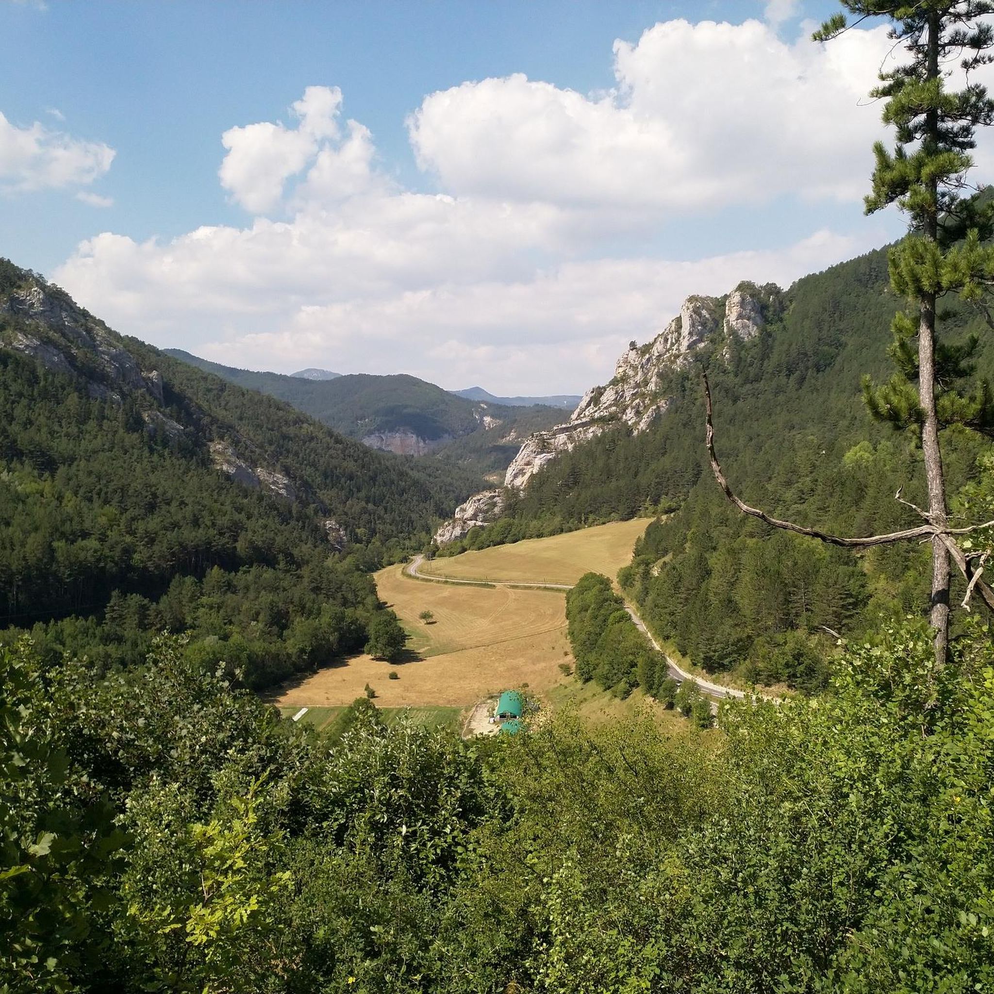
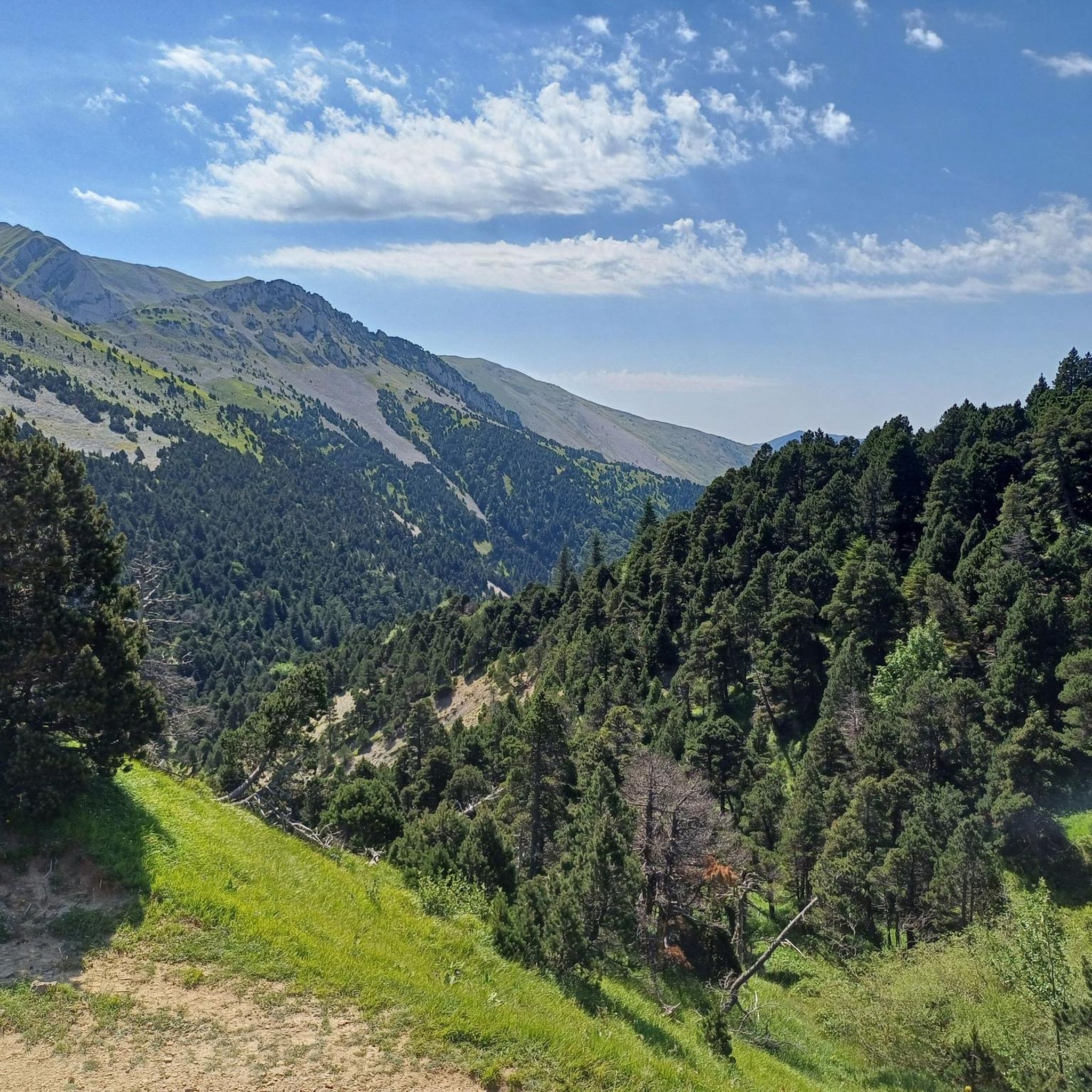
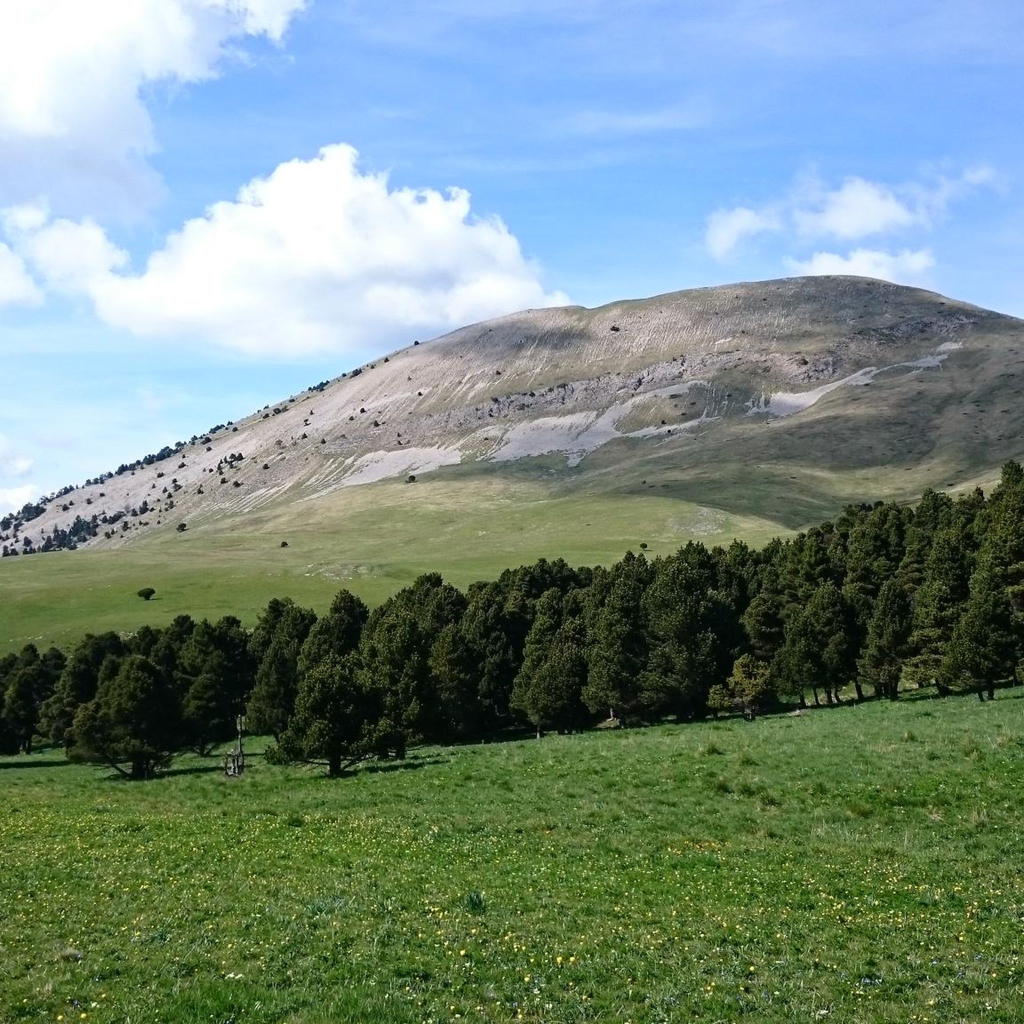
Touring cycling routes around Glandage navigate a mountainous landscape within France's Drôme department, part of the Auvergne Rhône-Alpes region and the Parc Naturel Régional du Vercors. The terrain features significant elevation changes, winding roads through valleys and gorges, and access to notable natural formations like the Sucettes de Borne and the Cirque d'Archiane. This area provides a challenging yet rewarding experience for touring cyclists, with routes often involving sustained climbs and descents.
Best touring cycling routes around Glandage
- The most…
Last updated: July 1, 2026
4.1
(9)
115
riders
52.2km
03:45
1,100m
1,100m
Hard bike ride. Very good fitness required. Mostly paved surfaces. Suitable for all skill levels.
32
riders
29.1km
01:58
510m
510m
Hard bike ride. Very good fitness required. Mostly paved surfaces. Suitable for all skill levels.

Sign up for free
4.3
(3)
58
riders
58.9km
04:26
1,480m
1,480m
Hard bike ride. Very good fitness required. Mostly paved surfaces. Suitable for all skill levels.
5.0
(3)
51
riders
59.7km
04:25
1,400m
1,400m
Hard bike ride. Very good fitness required. Mostly paved surfaces. Suitable for all skill levels.
4.0
(2)
51
riders
35.6km
02:43
960m
960m
Hard bike ride. Very good fitness required. Mostly paved surfaces. Suitable for all skill levels.
Get access to more routes and recommendations from other explorers.
Sign up for free
Already have an account?
Our route recommendations are based on thousands of hikes, rides, and runs completed by other people on komoot.
Start today with a free account
Your next adventure awaits.
Login or Signup

Tips from the Community

Spectacular view at the junction with the Route des Aiguilles leading onto a track overlooking the gorge.
0
0

Here is the route for the ascent of the Col de Menée starting from Menée
1
0

Feeling a little thirsty? Luckily, the fountain bar is here to help.
0
0
perfect for a short break
0
0

magnificent little walk to do
0
0

Benches along walking or cycling routes are not that common in the Drôme, but when they are there, they offer a beautiful view. The bench is hard to miss and is right next to the road, but there is rarely any traffic here, so take your time and enjoy this beautiful region.
0
0
Very charming little village in the heart of the Vercors on the road to the Col de Menée
0
0

Sublime village and magnificent roads around.
0
0
Frequently Asked Questions
How many touring cycling routes are available around Glandage?
There are over 50 touring cycling routes available around Glandage, offering a wide range of options for exploring the region's diverse landscapes.
What kind of terrain can I expect on touring cycling routes in Glandage?
The terrain around Glandage is characterized by the foothills of the French Alps, featuring significant elevation changes, winding roads through valleys and gorges, and sustained climbs and descents. It offers a challenging yet rewarding experience for touring cyclists.
Are there touring cycling routes suitable for beginners in Glandage?
While many routes in Glandage are moderate to difficult, there are a few easier options available. The region's mountainous nature means even 'easy' routes may involve some elevation gain.
Where can I find challenging touring cycling routes in Glandage?
Glandage is well-suited for experienced cyclists seeking a challenge, with over 30 difficult routes. An example is the View of Pic de l'Aigle – Col de Grimone (1318 m) loop from Lus-la-Croix-Haute, which features significant climbs and panoramic views.
Are there any circular touring cycling routes in the Glandage area?
Yes, many touring cycling routes in Glandage are designed as loops, allowing you to start and finish in the same location. For instance, the Gorges of the Gats – Col de Menée loop from Glandage offers a scenic circular journey.
What is the best time of year for touring cycling in Glandage?
The best time for touring cycling in Glandage is typically from spring to autumn, when the weather is milder and mountain passes are clear of snow. Summer offers warmer temperatures, but spring and autumn provide pleasant conditions for sustained climbs.
Are there specific viewpoints or natural attractions to see along the touring cycling routes?
Absolutely. The routes often pass by stunning natural features. You can explore the unique Claps geological site on the Châtillon-en-Diois – Saut de la Drôme and the Claps loop from Glandage. Other notable attractions include the Gorges des Gâts and various mountain passes like Col de Grimone.
Can I find places to eat or refuel along the touring cycling routes?
While Glandage itself is a small commune, many routes pass through or near charming villages such as Châtillon-en-Diois, where you can find cafes and restaurants to refuel. It's always advisable to carry sufficient water and snacks, especially on longer routes.
Is parking available near the starting points of touring cycling routes in Glandage?
Parking is generally available in the villages and towns that serve as common starting points for routes, such as Glandage itself or nearby Lus-la-Croix-Haute. Look for designated parking areas or consult local signage.
What do other touring cyclists say about the routes in Glandage?
The touring cycling routes in Glandage are highly rated by the komoot community, with an average score of 4.5 stars from 88 reviews. Cyclists often praise the challenging climbs, the stunning mountain scenery, and the quiet roads through the Drôme river valley and gorges.
Are there any routes that follow the Drôme river?
Yes, the Drôme river is a prominent natural feature in the region, and several routes incorporate its valley. The Châtillon-en-Diois – Saut de la Drôme and the Claps loop from Glandage, for example, follows the Drôme river and explores its unique geological formations.
What are the notable mountain passes accessible by touring bike in Glandage?
The Glandage area, being in the foothills of the Alps, features several significant mountain passes. Notable ones include Col de Grimone (1318 m) and Col de Menée, both offering challenging ascents and rewarding views.
Most popular attractions around Glandage

Get inspired with the komoot mobile app


Explore more
Browse the best Cycling routes in other regions.
