The best running trails around Méteren
4.8
(15)
1,572
runners
41
runs
Jogging around Méteren offers varied landscapes within the "Monts" region of Hauts-de-France. The area is characterized by small hills, providing panoramic views, and features a mix of terrain suitable for running. Many routes include mostly paved surfaces, while others incorporate accessible paths. The region's natural beauty and diverse trails cater to different fitness levels.
Best jogging routes around Méteren
- The most popular jogging route is Ooljemullenweegel – Descent of Mont de Boeschepe loop from Berthen, a 6.8 miles (10.9…
Last updated: October 7, 2026
4.9
(10)
367
runners
14.9km
01:42
350m
350m
Hard run. Very good fitness required. Mostly paved surfaces. Suitable for all skill levels.
276
runners
19.8km
02:09
220m
220m
Hard run. Very good fitness required. Mostly paved surfaces. Suitable for all skill levels.

28
runners
9.17km
01:02
210m
210m
Moderate run. Good fitness required. Mostly paved surfaces. Suitable for all skill levels.
22
runners
10.6km
01:06
80m
80m
Moderate run. Good fitness required. Mostly paved surfaces. Suitable for all skill levels.
14
runners
16.7km
01:47
180m
180m
Hard run. Very good fitness required. Mostly paved surfaces. Suitable for all skill levels.
Get access to more routes and recommendations from other explorers.
Already have an account?
Our route recommendations are based on thousands of hikes, rides, and runs completed by other people on komoot.
Start today with a free account
Your next adventure awaits.

Tips from the Community

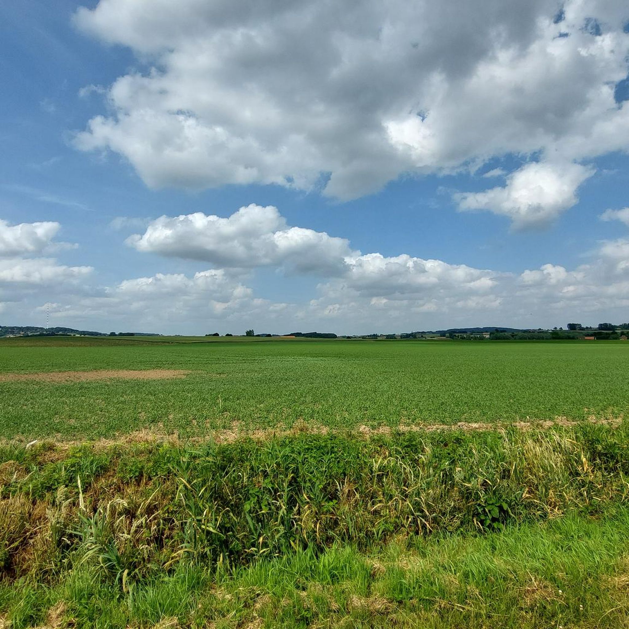
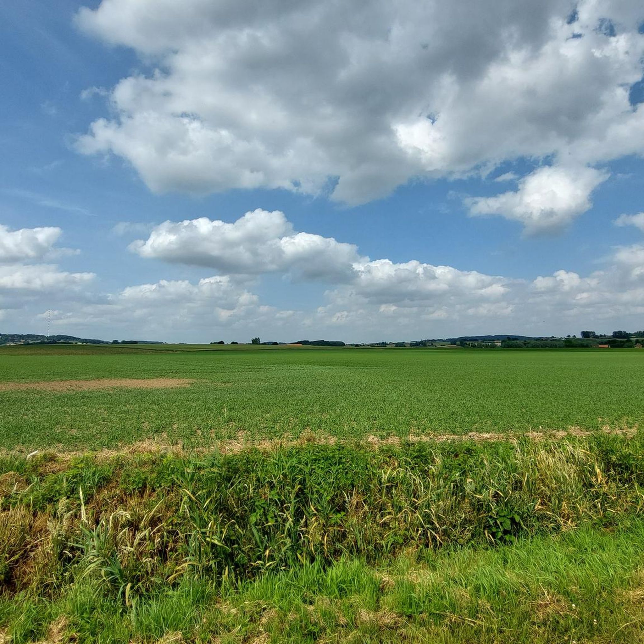
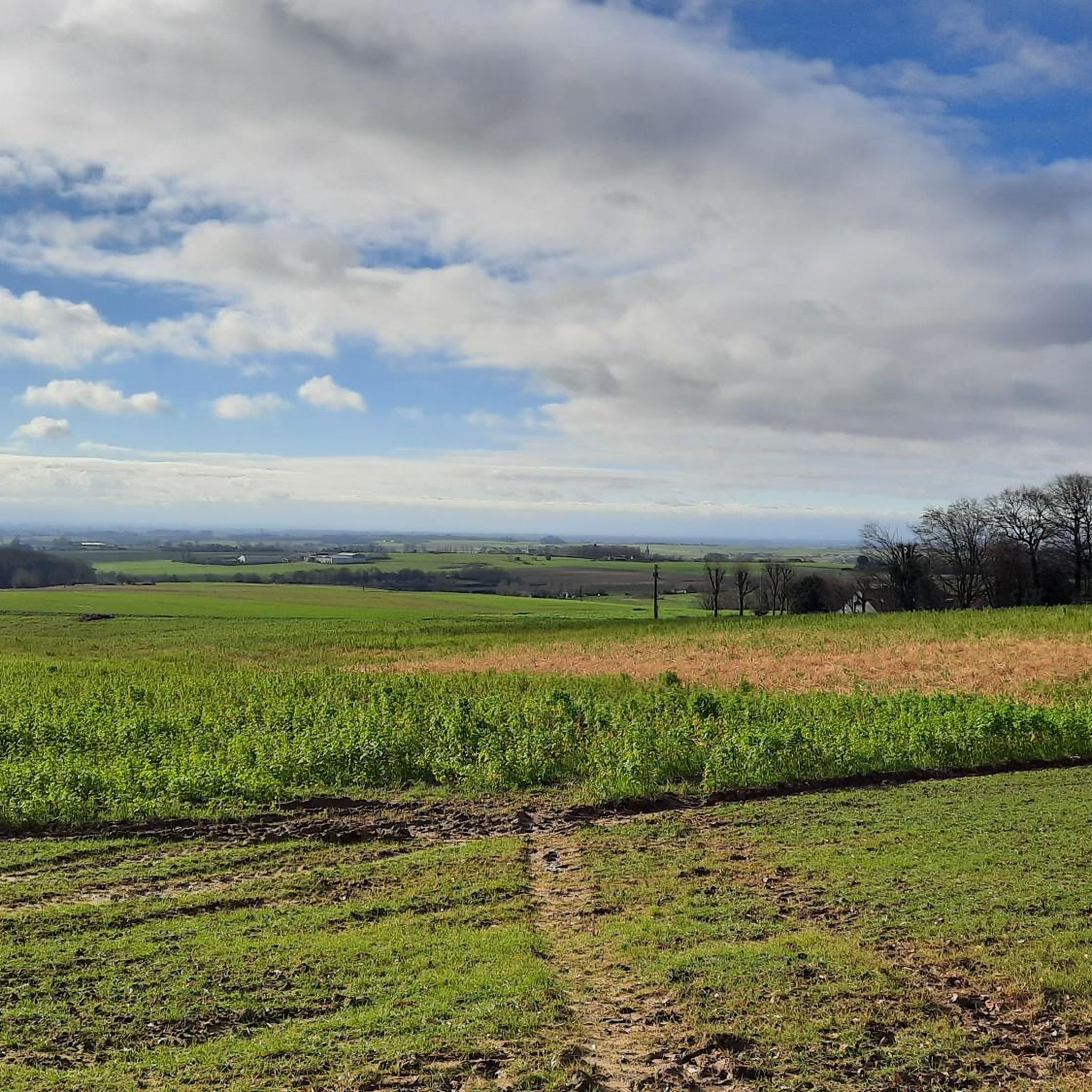
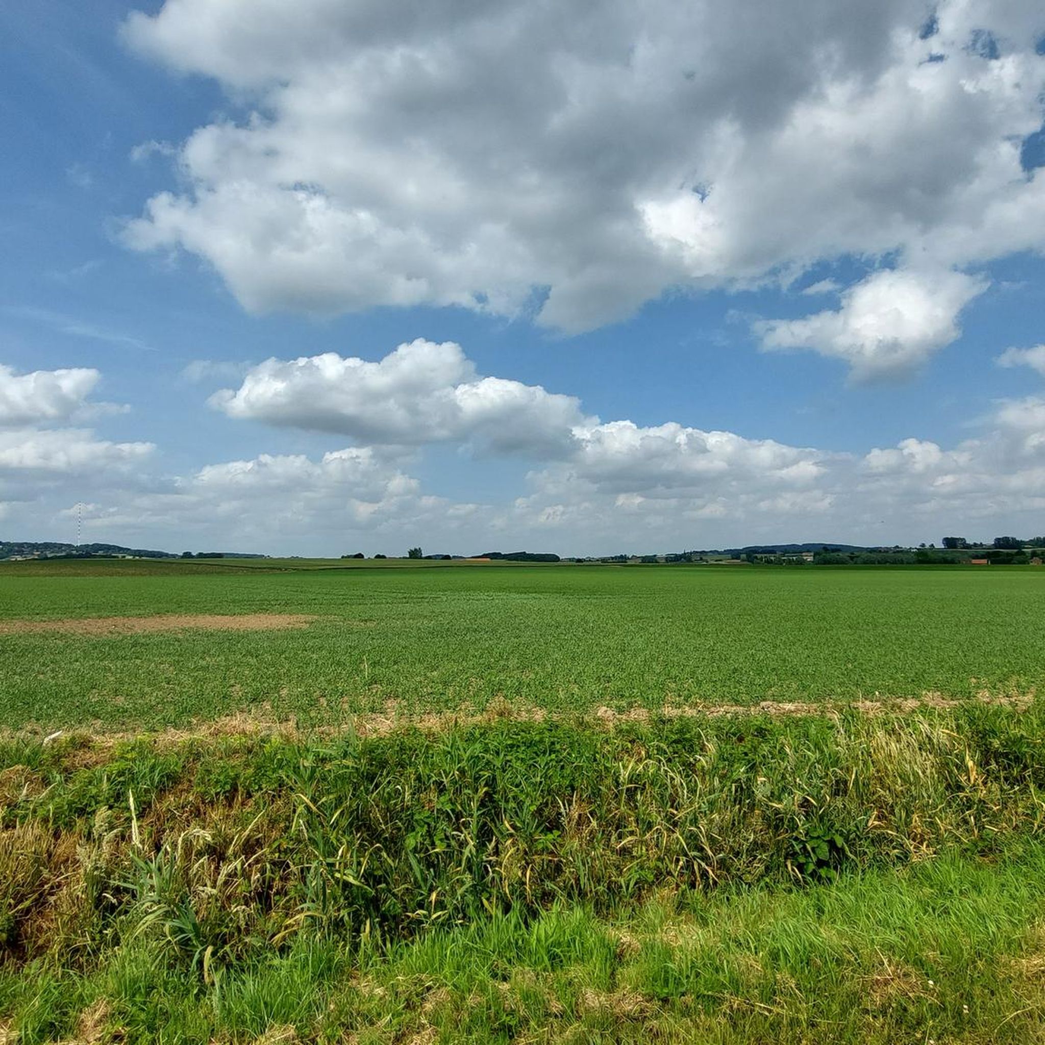
Beautiful panorama of French Flanders. A little higher up lies the Catsberg.
2
0
Church from 1932, by Louis-Marie and Louis-Stanislas Cordonnier. The church has features of the neo-Romanesque, neo-Byzantine and art-deco styles.
2
0


The ponds of the 4 sons of Aymon offer a pleasant natural setting for fishing and walking. Surrounded by greenery, they are a place of relaxation appreciated by nature lovers.
0
0

tough climbs but beautiful views
1
0

Be careful between Mettern and Fresne, there is heavy traffic and be careful on the cobblestones of Cassel if they are wet.
0
2

The name "Catsberg" refers to a Germanic tribe, the Chatti (in Latin Chatti or Catti), who first appeared in history in the last years before the beginning of our era. In 162 and 170, the Chatti entered the history books once more as aggressors with their invasions of present-day southern Germany and Belgium. After that, the Chatti disappeared as an independent tribe. They probably merged with the Franks at the beginning of the sixth century. Source: Wikipedia
2
0
The top of the Catsberg is 164m above sea level. The TV mast adds another 200m to that.
1
0
Frequently Asked Questions
How many running routes are available around Méteren?
There are over 30 dedicated running routes around Méteren, offering a wide variety of options for joggers of all levels. These include moderate loops and more challenging runs through the region's varied terrain.
What kind of terrain can I expect on the jogging trails in Méteren?
The jogging trails in Méteren are characterized by small hills, providing panoramic views of the surrounding territories. You can expect a mix of terrain, with many routes featuring mostly paved surfaces, making them accessible. Other trails incorporate accessible paths and varied elevation, catering to different preferences.
Are there running routes suitable for different fitness levels in Méteren?
Yes, Méteren offers a range of running routes for various fitness levels. While there are no easy routes, you'll find 26 moderate options and 5 difficult trails. For instance, the Quatre Fils Aymond Pond loop from Méteren is a moderate 3.4-mile trail, while the Mullenweegel – Katsberg - Televisiemast loop from Méteren is a difficult 10.4-mile path with significant elevation gain.
What do other runners enjoy most about jogging in Méteren?
The running routes in Méteren are highly rated by the komoot community, with an average score of 4.8 stars from over 5 reviews. More than 750 runners have used komoot to explore the varied terrain, often praising the panoramic views and the mix of paved and accessible paths.
Are there any circular running routes in Méteren?
Yes, many of the running routes in Méteren are designed as loops, allowing you to start and finish in the same location. Examples include the moderate Ooljemullenweegel – Descent of Mont de Boeschepe loop from Berthen and the shorter Quatre Fils Aymond Pond loop from Méteren.
Are the running routes in Méteren suitable for families?
Méteren offers several trails that are suitable for families, especially those with mostly paved surfaces and moderate elevation. The Quatre Fils Aymond Pond loop from Méteren is a good example, covering up to 3 miles with moderate elevation, making it suitable for various skill levels.
Can I bring my dog on the trails in Méteren?
While many outdoor areas in the Hauts-de-France region are dog-friendly, it's always recommended to check specific signage at trailheads for any local leash laws or restrictions. Generally, dogs are welcome on trails, especially if kept on a leash.
Are there any specific landmarks or natural features to look out for while running?
Yes, Méteren and its surroundings offer several interesting landmarks and natural features. You might encounter the historic Mont des Cats Abbey, or enjoy views from Mont des Cats. Other notable spots include Hellegat Forest and the Kemmelberg.
Is parking available near the trailheads in Méteren?
Parking is generally available near popular trailheads and attractions in and around Méteren. Specific parking information can often be found on individual route pages or local tourism websites. It's advisable to check these resources before your visit.
How can I get to the running trails in Méteren using public transport?
While Méteren is accessible by public transport, direct access to all trailheads might vary. Regional bus services connect Méteren to larger towns. For specific routes, it's best to consult local public transport schedules and plan your journey to the nearest accessible point.
What is the best time of year to go running in Méteren?
Méteren's varied landscapes can be enjoyed year-round. Spring and autumn offer pleasant temperatures and beautiful scenery, while summer is ideal for early morning or late afternoon runs. Even in winter, many paved trails remain accessible, though conditions may vary.
Are there any challenging running routes for experienced runners?
Absolutely. For experienced runners seeking a challenge, the Mullenweegel – Katsberg - Televisiemast loop from Méteren is a difficult 10.4-mile route with significant elevation gain, primarily on paved surfaces. Another demanding option is the Ooljemullenweegel – Descent of Mont de Boeschepe loop from Berthen, a moderate run requiring good fitness.
Are there any permits required to use the running trails in Méteren?
Generally, no specific permits are required for jogging on the public trails around Méteren. However, if you plan to access private land or specific nature reserves, it's always wise to check for any local regulations or requirements beforehand.
Most popular attractions around Méteren

Get inspired with the komoot mobile app


Explore more
Browse the best Running Trails & Routes in other regions.
