The best walks and hikes around Drumettaz-Clarafond
4.5
(1536)
17,636
hikers
31
hikes
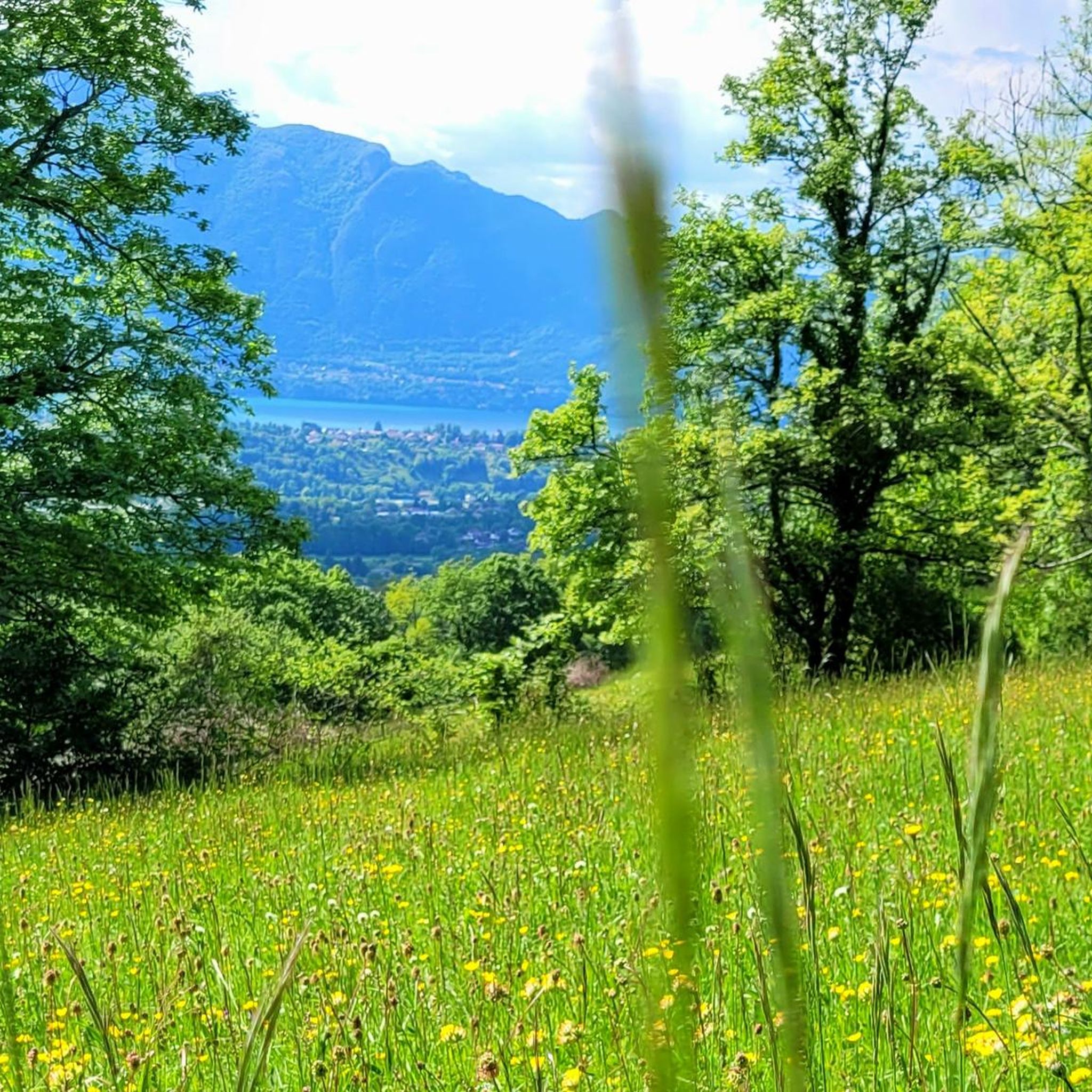
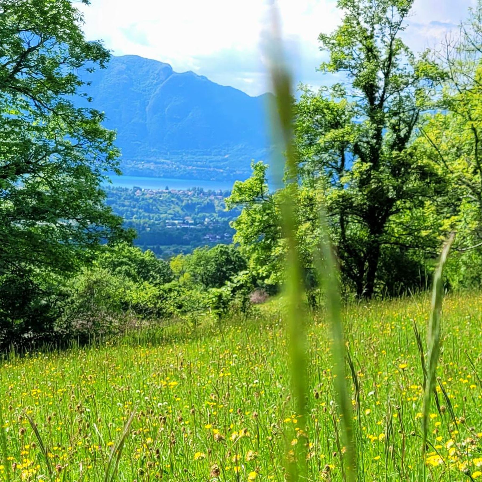
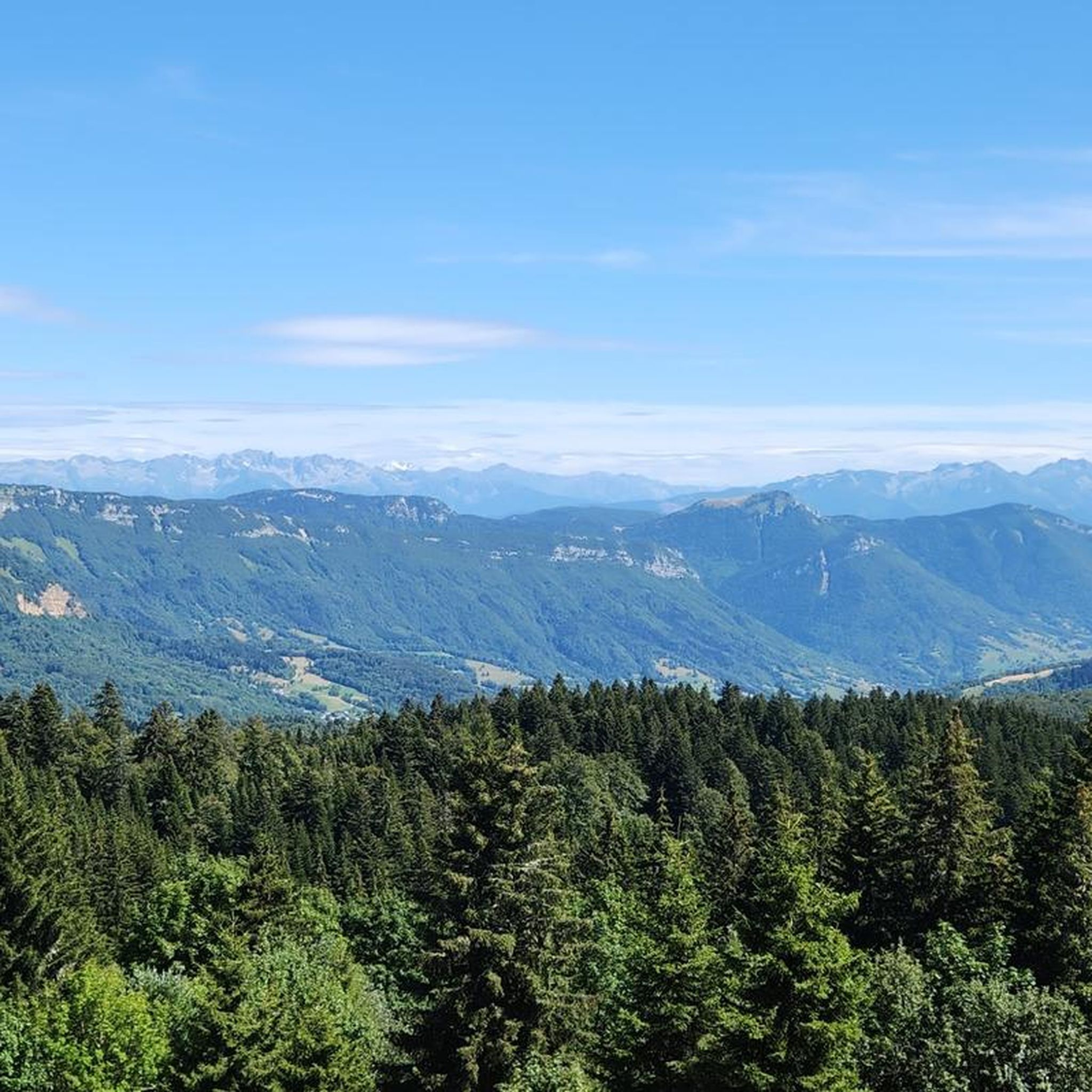
Hiking around Drumettaz-Clarafond offers diverse landscapes, including a mix of forests and open fields. The region provides panoramic views over the bassin aixois and Lac du Bourget, particularly from elevated points like the Belvédère de la Parchale. Situated in the Savoie department, the area features well-maintained trails that cater to various levels of hikers.
Best hiking trails around Drumettaz-Clarafond
- The most popular hiking route is Grand port d'Aix-les-Bains – Lakeside Esplanade loop from Aix-les-Bains, a 10.5 miles (16.8 km)…
Last updated: June 25, 2026
4.3
(3)
57
hikers
16.9km
04:34
220m
220m
Moderate hike. Good fitness required. Easily-accessible paths. Suitable for all skill levels.
4.7
(12)
180
hikers
19.4km
06:58
1,150m
1,150m
Hard hike. Very good fitness required. Mostly accessible paths. Sure-footedness required.

Sign up for free
4.4
(5)
9
hikers
6.81km
02:12
300m
300m
Moderate hike. Good fitness required. Easily-accessible paths. Suitable for all skill levels.
4.7
(3)
10
hikers
16.1km
06:37
910m
910m
Hard hike. Very good fitness required. Sure-footedness, sturdy shoes and alpine experience required.
4.0
(2)
14
hikers
6.76km
01:53
120m
120m
Easy hike. Great for any fitness level. Easily-accessible paths. Suitable for all skill levels.
Get access to more routes and recommendations from other explorers.
Sign up for free
Already have an account?
Our route recommendations are based on thousands of hikes, rides, and runs completed by other people on komoot.
Start today with a free account
Your next adventure awaits.
Login or Signup


Tips from the Community

A piece of history and heritage of Aix les Bains and Revard to discover on a hike
0
0
100% guarantee for always magnificent panoramas in all seasons
0
0
You never get tired of this view... Summer or winter
0
0

Enjoy! A short, active and relaxing walk in the woods, overlooking the town of Aix-les-Bains, with trails accessible to all.
0
0

Quiet and easy hike with magnificent 360° views
0
0

The park is well-kept and clean and offers a relaxing natural space
0
0
The bike path is great for walking along the lake. The views are magnificent.
3
0

Very nice viewpoint from a much lower altitude than that of Revard, which gives a different view of the landscape, less overhanging and closer to the Chambéry basin and the lake. The paragliding take-off area, a little further in the hike, is also a very pleasant place (equipped with a few benches!)
0
0
Frequently Asked Questions
How many hiking trails are available around Drumettaz-Clarafond?
There are over 25 hiking routes in the Drumettaz-Clarafond area, offering a variety of experiences. These include 10 easy trails, 13 moderate routes, and 3 more challenging hikes, catering to different fitness levels.
What kind of terrain will I encounter on hikes in Drumettaz-Clarafond?
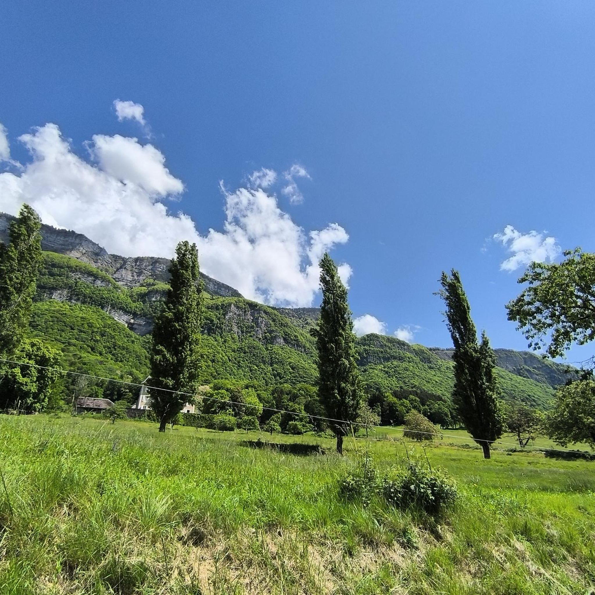
The terrain around Drumettaz-Clarafond is characterized by a diverse mix of forests and open fields. You can expect well-maintained paths that lead through varied scenery, often culminating in extraordinary panoramic views over the bassin aixois and Lac du Bourget, especially from elevated points.
Are there any easy, family-friendly hikes in Drumettaz-Clarafond?
Yes, Drumettaz-Clarafond offers several easy and family-friendly options. For example, the Thermal Baths Floral Park – Aix-les-Bains loop from Marlioz is an easy 4.1-mile trail through urban parks and green spaces. The Clarafond Village Loop, mentioned in regional research, is also a shorter, pleasant walk through fields and forests.
Where can I find panoramic views during my hike?
For stunning panoramic views, head towards the Belvédère de la Parchale. This viewpoint, situated at an altitude of 620 meters, offers exceptional vistas over the bassin aixois and the beautiful Lac du Bourget. A trail starting from the Rippes car park leads directly to it.
Are there any circular hiking routes in the area?
Yes, many routes in Drumettaz-Clarafond are designed as loops. A popular moderate option is the Hiking loop from Drumettaz-Clarafond, which is 4.2 miles long and explores the local terrain with varied elevation. Another is the Hiking loop from Mouxy, a 6.1 km moderate trail.
What are some notable natural attractions or landmarks near the hiking trails?
The region boasts several natural attractions. You can explore the stunning Lake Bourget, or discover unique geological features like the Fairies' Cave and the Carret Cave. The Gorges de Ternèze and Gorges du Sierroz also offer dramatic landscapes.
Is there parking available at the trailheads?
Yes, many trailheads in the Drumettaz-Clarafond area offer convenient parking. For instance, the Belvédère de la Parchale trail can be accessed from the Rippes car park, providing a good starting point for your hike.
What do other hikers enjoy most about hiking in Drumettaz-Clarafond?
The hiking routes in Drumettaz-Clarafond are highly rated by the komoot community, with an average score of 4.5 stars from over 1500 reviews. Hikers frequently praise the varied landscapes, including the mix of forests and open fields, and the stunning views over Lac du Bourget. The well-maintained nature of the trails is also a common highlight.
Can I access hiking trails using public transport?
Drumettaz-Clarafond's strategic location provides relatively easy access to nearby towns like Aix-les-Bains (4 km away) and Chambéry (10 km away). While specific public transport access to every trailhead might vary, these nearby urban centers often serve as hubs for local transport, which can help you get closer to the starting points of various routes.
What is the best time of year to go hiking in Drumettaz-Clarafond?
The region is suitable for hiking across multiple seasons. Spring and autumn offer pleasant temperatures and vibrant scenery, while summer allows for longer days and warmer weather. The proximity to mountainous terrain also suggests that winter hiking might be possible, though conditions would require appropriate gear and caution.
Are there any challenging hikes for experienced trekkers?
Yes, for experienced hikers seeking a challenge, the area offers more difficult routes. The Le Revard – Mount Revard loop from Mouxy is a demanding 19.1 km trail with over 1100 meters of elevation gain, providing a quintessential Alpine experience with breathtaking views.
Are dogs allowed on the hiking trails?
While specific regulations can vary by trail and protected areas, many natural paths in the Savoie region are generally dog-friendly. It is always recommended to keep dogs on a leash, especially in areas with wildlife or livestock, and to clean up after them. Check local signage for any specific restrictions.
Most popular routes around Drumettaz-Clarafond
Most popular attractions around Drumettaz-Clarafond

Get inspired with the komoot mobile app


Explore more
Browse the best Hikes in other regions.
