Top 5 Mountain Passes around Le Pont-De-Beauvoisin
Mountain passes around Le Pont-De-Beauvoisin, a commune situated in the Isère and Savoie departments, offer diverse routes for cycling and driving. This region, part of the Auvergne-Rhône-Alpes, features mountainous landscapes with access to various passes. Its location provides opportunities to explore routes ranging from moderate to challenging.
Best mountain passes around Le Pont-De-Beauvoisin
- The most popular mountain passes is Col des Mille Martyrs, a mountain pass that offers a fresh and easy climb from Saint-Nicolas de Macherin. Visitors can…
Last updated: July 10, 2026
Col du Banchet
Highlight • Mountain Pass
Translated by Google •
Tip by

Col des Mille Martyrs
Highlight • Mountain Pass
Translated by Google •
Tip by

Sign up now to discover places like this
Get recommendations on the best single tracks, peaks, & plenty of other exciting outdoor places.
Sign up for free
Col de la Lattaz (754 m)
Highlight • Mountain Pass
Translated by Google •
Tip by

Crusille Pass (573 m)
Highlight • Mountain Pass
Translated by Google •
Tip by

Start today with a free account
Your next adventure awaits.
Login or Signup

Tips from the Community


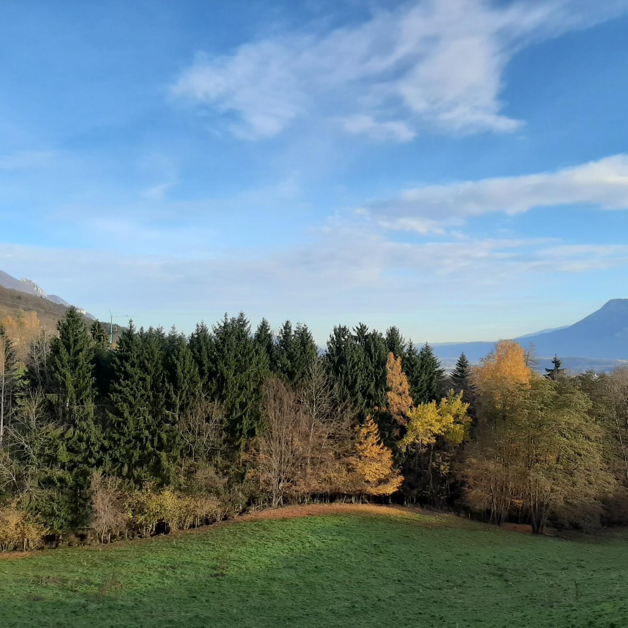
Very pleasant pass to climb, not too steep a slope, well marked all the way.
2
1

End of the climb and arrival on the plateau
0
0

Arriving from Cessieu, I made a small detour via Voissant then the remaining 4 km to the Col des Mille Martyrs. Easy climb, no cars on this early Sunday afternoon and a very beautiful forest upon arrival. Bucolic viewpoints as a bonus during the climb. The descent to Saint-Geoire-en-Valdaine is perfect. Super rolling surface and moderate slope allow you to reach 50 km/h effortlessly. Paradise exists, it is in Chartreuse.
3
0
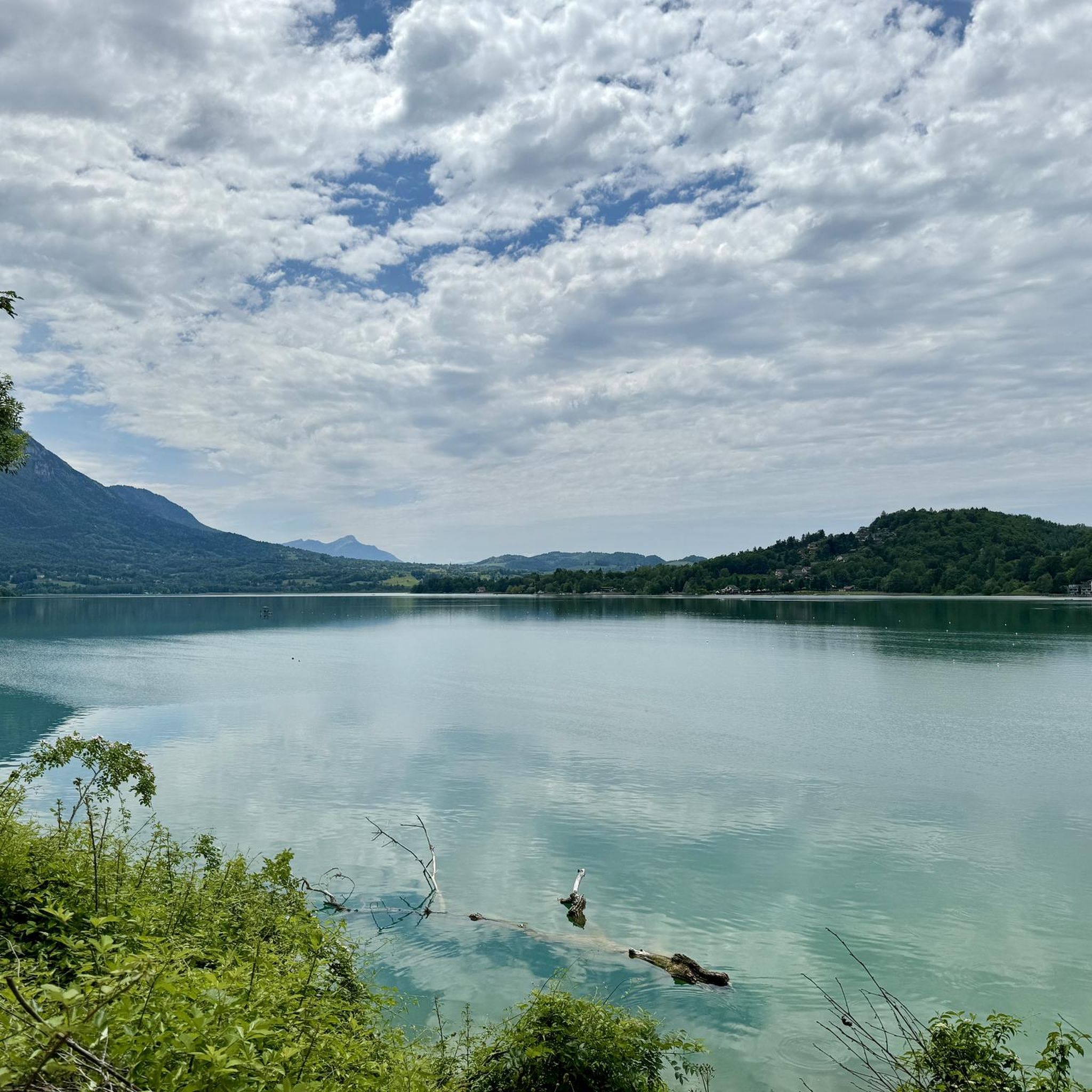
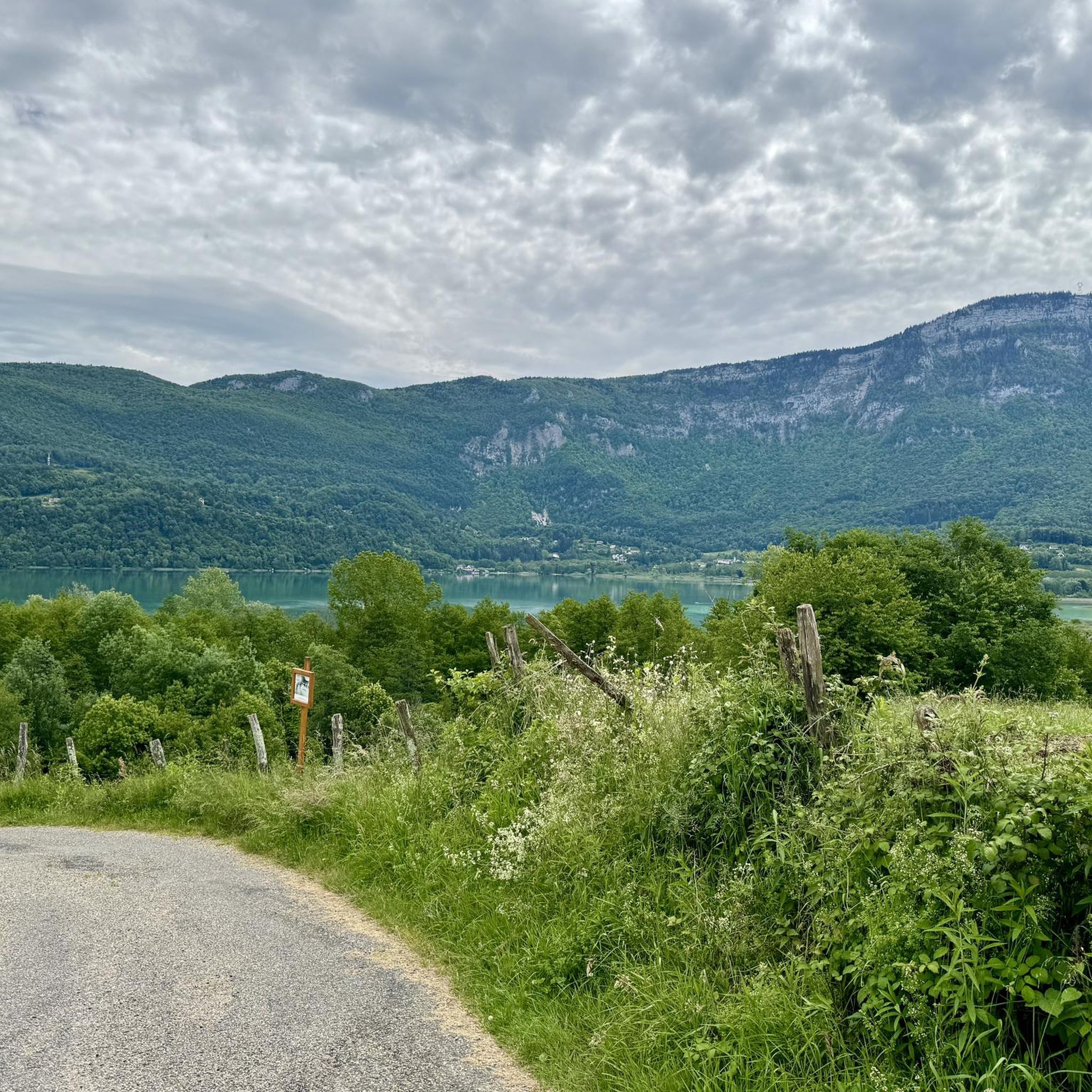
Pass located at an altitude of 573 m, to be climbed from Saint-Genix-sur-Guiers or Novalaise.
1
0
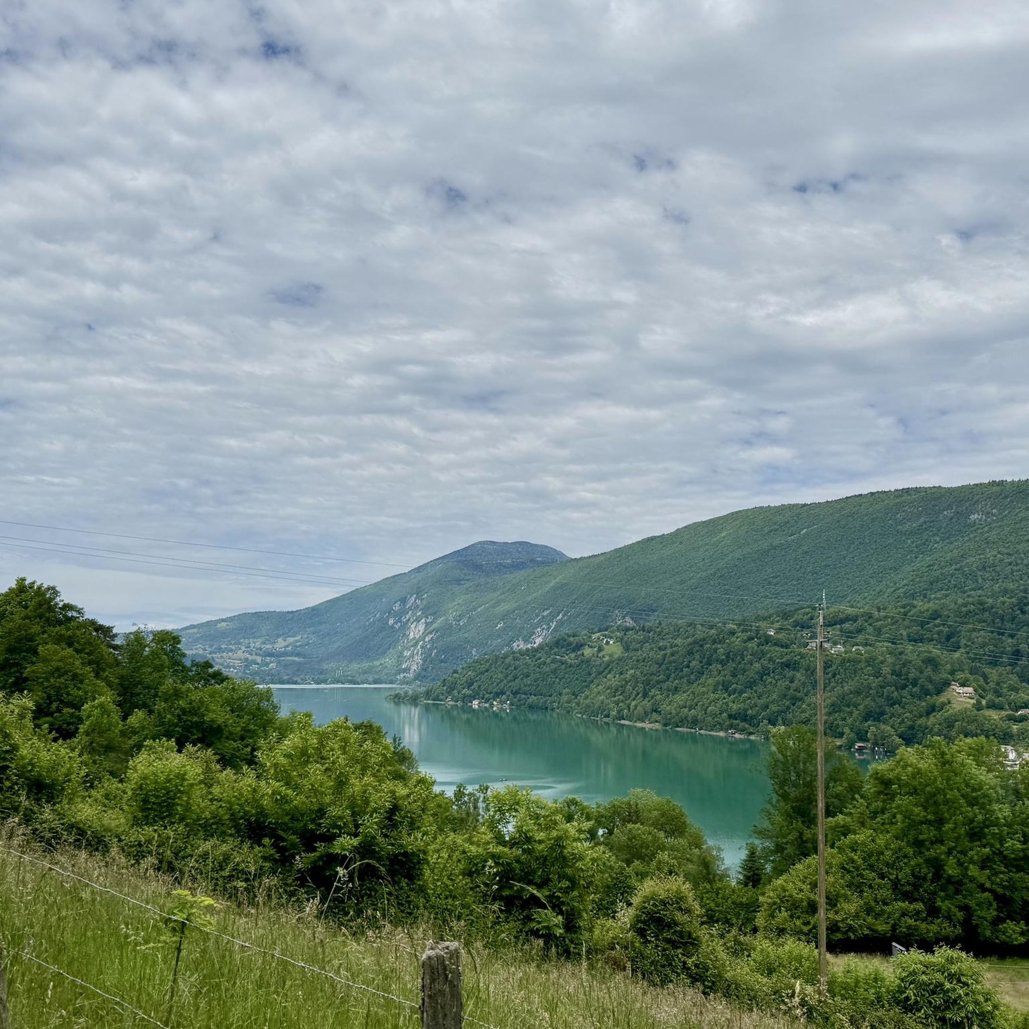
The Col du Banchet is a mountain pass located at an altitude of 590 m in the Mont Tournier range, south of the Jura massif, in the Savoyard Avant-Pays, in the Savoie department.
1
0
Pass located at an altitude of 754 m, in Savoie. You can continue to the Mont Tournier pass.
1
0
Pass located at an altitude of 754 m, which can be continued to the Mont Tournier pass.
1
0
Frequently Asked Questions
What are some of the most scenic mountain passes near Le Pont-De-Beauvoisin?
The region offers several scenic passes. The Col des Mille Martyrs provides a pleasant ascent through forests with bucolic viewpoints. The "The Savoyard Antilles – View of Lake Aiguebelette loop" offers stunning panoramic views over Lac d'Aiguebelette, known for its turquoise waters. Additionally, the Col du Banchet rewards climbers with great views after a steep initial section.
Are there any mountain passes suitable for experienced cyclists seeking a challenge?
Yes, the Col du Cucheron (1,139 m) in the Chartreuse massif is ideal for experienced cyclists. It offers a challenging ascent with significant elevation gain and rewarding views of the surrounding Chartreuse mountains. This pass is featured in a difficult road cycling loop from Le Pont-de-Beauvoisin.
Are there easy or moderate mountain passes suitable for less experienced cyclists or families?
For a more accessible option, the Crusille Pass (573 m) is a great choice. It's described as fairly rolling and pleasant, making it suitable for cyclists with good fitness levels but seeking a milder challenge. It can be combined with a visit to Lac d'Aiguebelette for a half-day trip.
What kind of terrain can I expect on mountain bike trails near Le Pont-De-Beauvoisin?
Mountain biking routes in the area, such as the "Mountain Bike Loop: The Three Saints," feature a mix of small country roads, quiet lanes, and some steep climbs. You'll encounter woodland paths and dirt tracks, offering varied terrain for an engaging ride. This particular loop also passes by natural ponds and forests.
How challenging is the Col de la Lattaz?
The Col de la Lattaz (754 m) is an intermediate climb. It is 2.7 kilometers long with an elevation gain of 181 meters, averaging a gradient of 6.8%. This steepness gives it a difficulty rating of 155 points, making it a good challenge for cyclists.
What is the best time of year to visit the mountain passes around Le Pont-De-Beauvoisin?
The best time to visit the mountain passes around Le Pont-De-Beauvoisin for cycling and hiking is generally from spring to autumn. During these seasons, the weather is milder, and the passes are typically clear of snow, offering optimal conditions for outdoor activities and enjoying the scenic views.
What road cycling routes are available around Le Pont-De-Beauvoisin?
There are several road cycling routes catering to different difficulty levels. You can find options like the "On the border of Isère and Savoie" route, or more challenging loops such as the "Col du Cucheron (1,139 m) – Gorges du Guiers Mort loop." For moderate rides, consider routes like the "Crusille Pass (573 m) – Lac d'Aiguebelette loop." You can explore these and more on the Road Cycling Routes around Le Pont-De-Beauvoisin guide.
Are there mountain biking routes that offer panoramic views?
Yes, the "Mountain Bike Loop: The Three Saints" starting from Le Pont-de-Beauvoisin train station is a great option. This 27.6 km loop includes an ascent to the Sacré-Coeur statue, providing breathtaking views of the Val d'Ainan, the Epine, and the Chartreuse mountains. You can find more details in the MTB Trails around Le Pont-De-Beauvoisin guide.
Can I combine a pass visit with other activities like visiting Lac d'Aiguebelette?
Absolutely. The Crusille Pass (573 m) is part of several cycling loops that incorporate Lac d'Aiguebelette. This lake is known for its warm waters and recreational activities, making it perfect for combining a scenic ride with a relaxing stop by the water. The "The Savoyard Antilles – View of Lake Aiguebelette loop" is another excellent option for this.
What do visitors enjoy most about the mountain passes around Le Pont-De-Beauvoisin?
Visitors particularly appreciate the diverse routes suitable for both road cycling and mountain biking, ranging from moderate to challenging. The scenic beauty, including views of the Chartreuse mountains and Lac d'Aiguebelette, is a major draw. Many enjoy the quiet, shaded climbs and the rewarding panoramas from the summits, as highlighted by the komoot community's 128 upvotes and 46 photos.
Are there hiking trails near these mountain passes?
Yes, the region around Le Pont-De-Beauvoisin offers various hiking trails. While some passes are primarily for cycling, you can find dedicated hiking loops nearby, such as those starting from Les Abrets or Pressins. These range from easy to moderate difficulty. For more information, refer to the Hiking around Le Pont-De-Beauvoisin guide.
Most popular routes around Le Pont-De-Beauvoisin
Most popular attractions around Le Pont-De-Beauvoisin

Get inspired with the komoot mobile app


Explore more
See even more epic mountain passes by checking out these guides around Le Pont-De-Beauvoisin:
