Top 5 Mountain Passes around Champagneux
Best mountain passes around Champagneux are situated in the Savoie department of the Auvergne-Rhône-Alpes region in south-eastern France. This area, known as the "Avant-Pays savoyard," features gentle hills between the Rhône River and the Jura mountains. While not characterized by high-altitude alpine passes, the region offers various mountain passes with elevations up to approximately 850 meters. These passes provide diverse terrain for cycling routes and hiking routes, often featuring forested sections and viewpoints.
Best mountain passes around Champagneux
- The most…
Last updated: October 13, 2026
Col du Banchet
Highlight • Mountain Pass
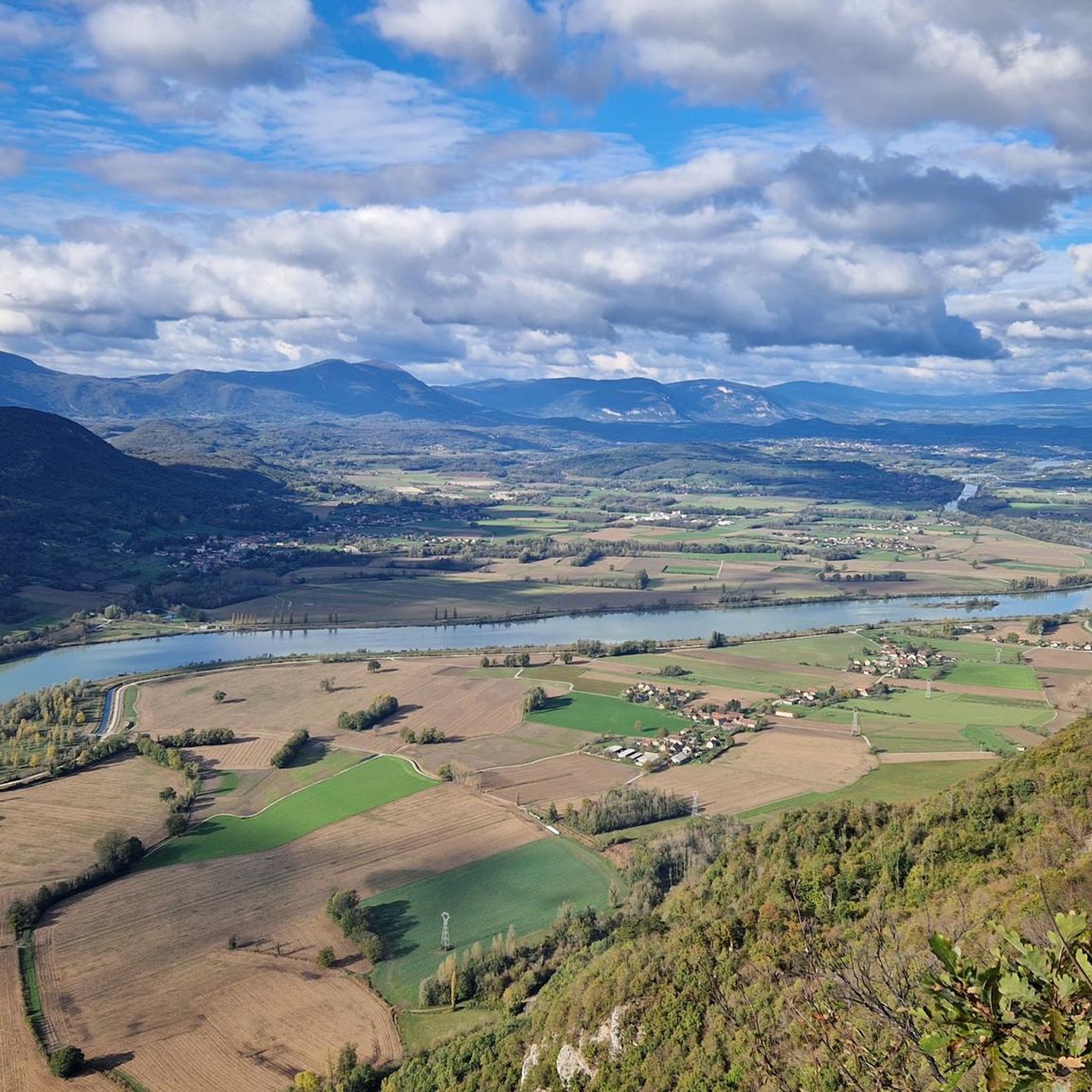
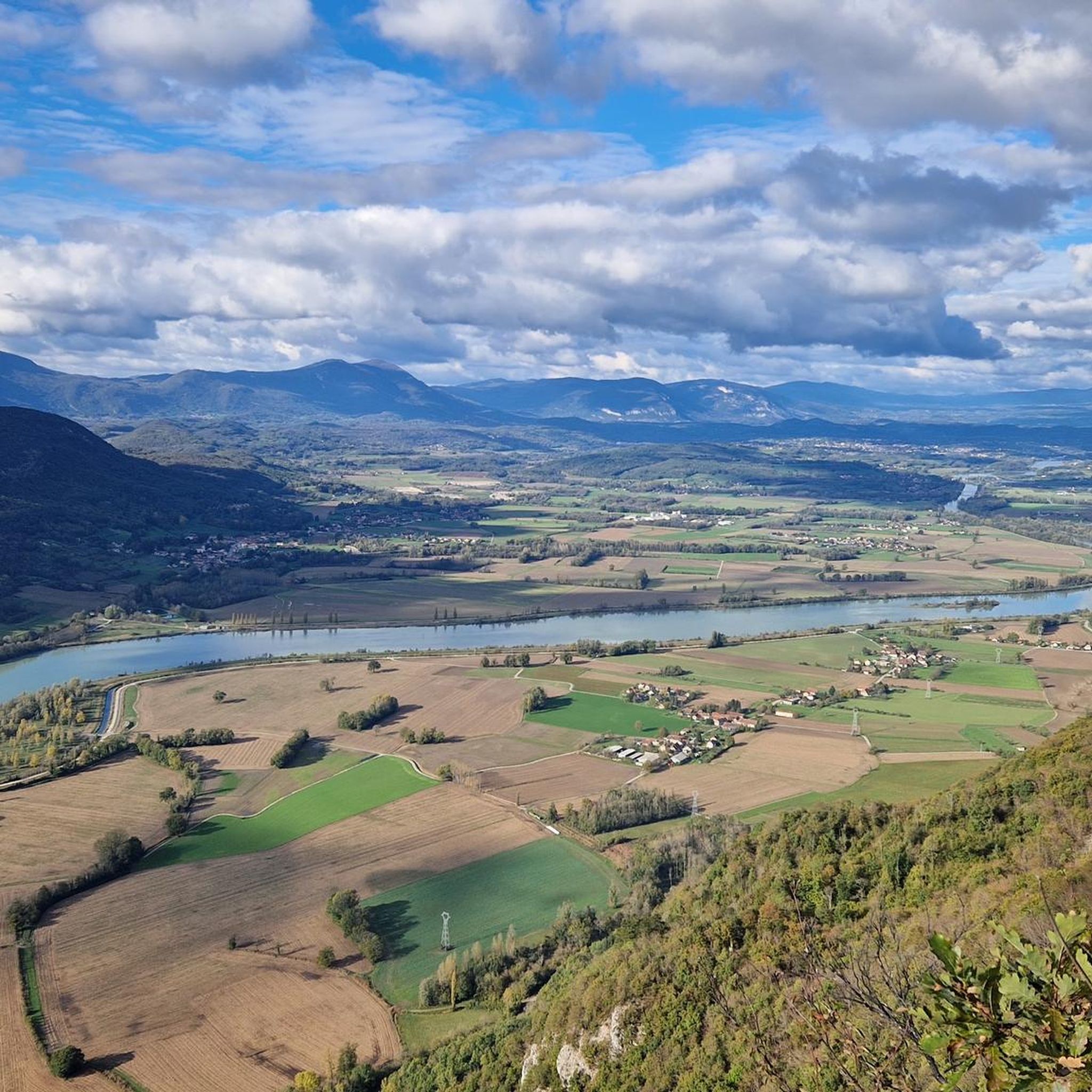
The view rewards the efforts made to get there.
Translated by Google •
Tip by

Col de la Lattaz (754 m)
Highlight • Mountain Pass
Translated by Google •
Tip by

Sign up now to discover places like this
Get recommendations on the best single tracks, peaks, & plenty of other exciting outdoor places.
Crusille Pass (573 m)
Highlight • Mountain Pass
Translated by Google •
Tip by

Col du Mont Tournier (851 m)
Highlight • Mountain Pass
Translated by Google •
Tip by

Start today with a free account
Your next adventure awaits.

Tips from the Community

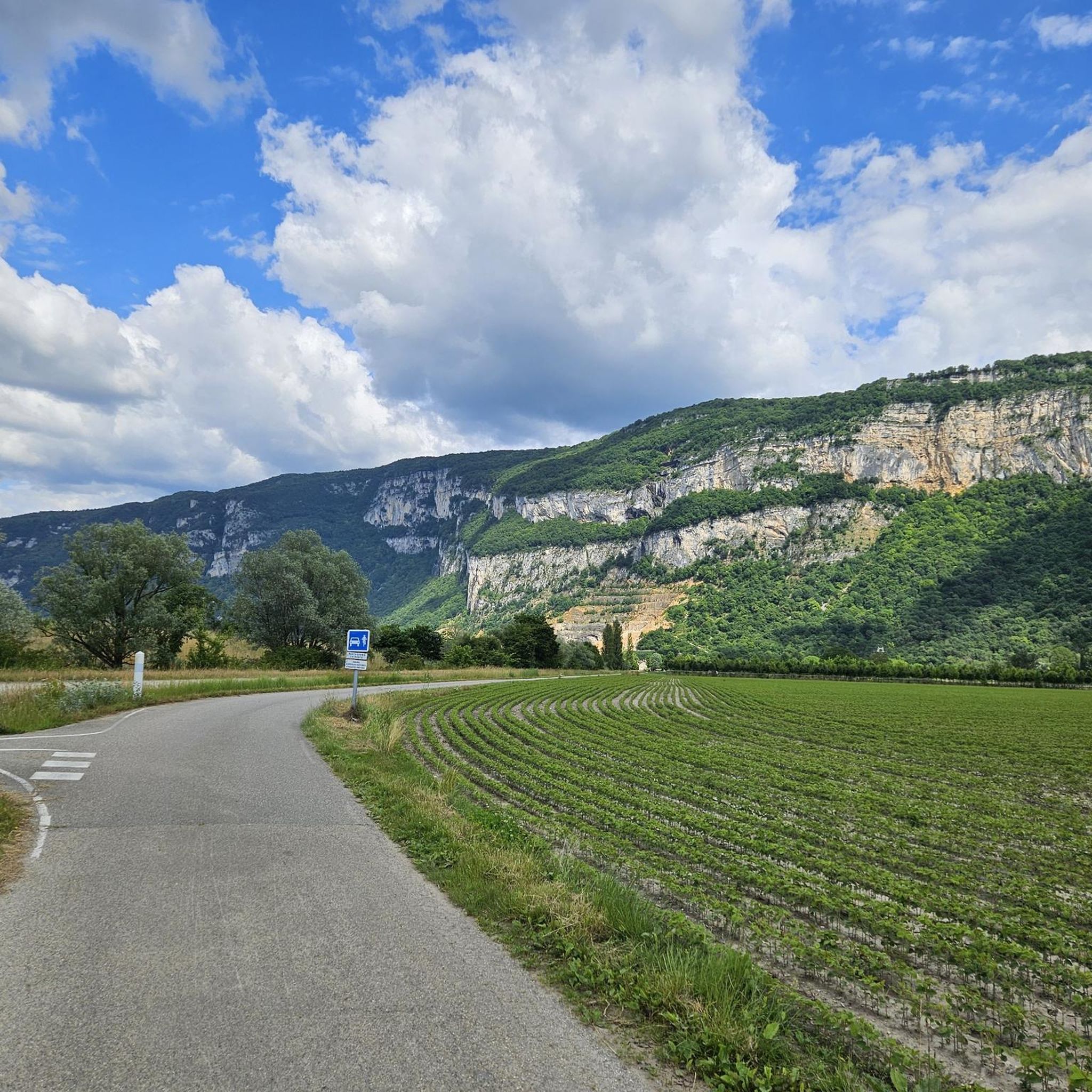
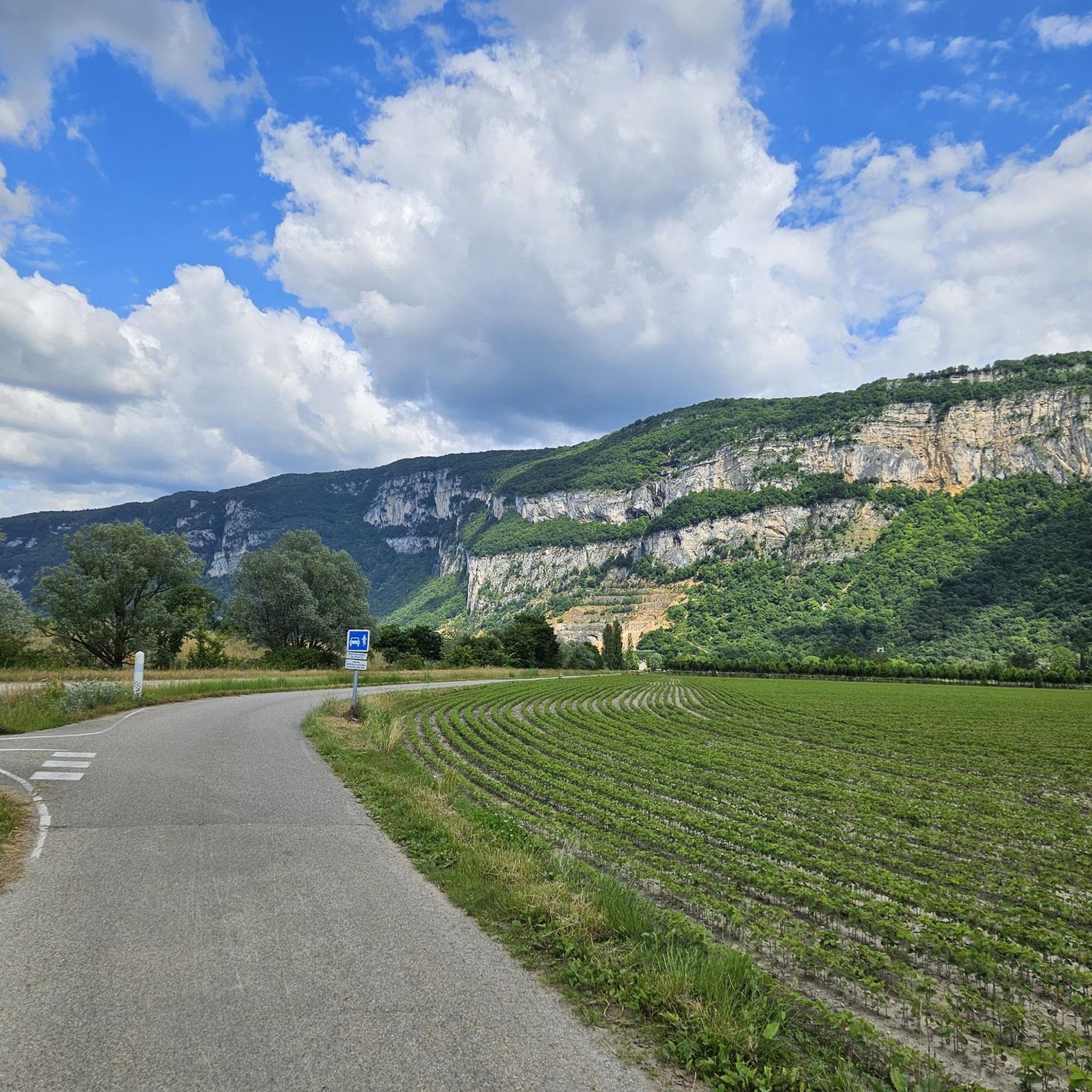
This is a spot highly appreciated by local cyclists for its tranquility, its little-used roads, and its shaded forest paths. Several slopes allow access to it
0
0


Pass located at an altitude of 573 m, to be climbed from Saint-Genix-sur-Guiers or Novalaise.
1
0
The Col du Banchet is a mountain pass located at an altitude of 590 m in the Mont Tournier range, south of the Jura massif, in the Savoyard Avant-Pays, in the Savoie department.
2
0
The Col du Mont Tournier – 851 m – is located in the Savoyard Avant-Pays but belongs, from a geological point of view, to the Jura Massif.
2
0
Pass located at an altitude of 754 m, in Savoie. You can continue to the Mont Tournier pass.
1
0
Pass located at an altitude of 754 m, which can be continued to the Mont Tournier pass.
1
0

From Rochefort, the Col du Banchet climbs in a bend with a fairly steep passage on the first part. The view rewards the efforts made to get there.
3
0
Frequently Asked Questions
What kind of terrain can I expect on mountain passes around Champagneux?
The mountain passes around Champagneux are generally characterized by gentle hills and rolling terrain, rather than high-altitude alpine challenges. They often feature shaded sections, forested climbs, and offer various viewpoints. Elevations typically reach up to approximately 850 meters, providing a diverse landscape for both cyclists and hikers.
Are there mountain passes suitable for beginners or those seeking an easier ride?
Yes, many passes in the Champagneux area are considered to have no significant difficulty. For example, Col du Banchet is described as a small, shaded pass without significant difficulty, though it does have a fairly steep section from Rochefort. Crusille Pass (573 m) is also noted for being fairly rolling and pleasant.
Which mountain passes offer the best views around Champagneux?
Several passes provide rewarding views. The climb to Col du Banchet from Rochefort, despite its steep gradient, offers views that reward the effort. While Col du Mont Tournier (851 m) is mostly forested, it's recommended to enjoy the views before reaching the pass itself.
What cycling opportunities are available near the mountain passes?
The Champagneux area is excellent for cycling, including gravel biking and touring. You can find routes like the "Crusille Pass (573 m) – View of Lake Aiguebelette loop from Sainte-Marie-d'Alvey" for gravel biking, or the "Ain à Vélo — loop on the paths at the confluence of the Rhône" for touring. Explore more cycling routes in the region on the Cycling around Champagneux guide.
Are there hiking or running trails near these mountain passes?
Absolutely. The region offers various trails for hiking and running. For instance, you can explore the "Mont de Cordon Loop" or the "Vachon Island loop from Saint-Genix-Sur-Guiers." More options are available in the Running Trails around Champagneux guide.
What is the highest mountain pass in the immediate Champagneux area?
Within the immediate vicinity of Champagneux, Col du Mont Tournier is one of the highest, reaching an altitude of 851 meters. It offers a beautiful climb through the forest and is part of the Savoyard Avant-Pays.
What do visitors particularly enjoy about the mountain passes around Champagneux?
Visitors appreciate the rolling and pleasant nature of many passes, especially in the mornings, as noted for Crusille Pass (573 m). The shaded and quiet routes, like Col du Mont Tournier, are also highly valued for their tranquility and natural beauty.
Is the Col de la Lattaz a challenging climb?
Col de la Lattaz (754 m) is considered an intermediate climb. It is 2.7 kilometers long with an elevation gain of 181 meters, averaging a 6.8% gradient. It can also be continued towards the Mont Tournier pass for a longer route.
Are there any mountain passes that are particularly quiet or uncrowded?
Yes, Col du Mont Tournier (851 m) is known for being a shaded, quiet, and uncrowded pass, making it ideal for those seeking a peaceful experience in nature.
What are the typical elevations of mountain passes in the Champagneux region?
The mountain passes around Champagneux generally have modest elevations, ranging from around 573 meters for Crusille Pass to 851 meters for Col du Mont Tournier. These elevations are characteristic of the 'Avant-Pays savoyard's gentle hills.
Most popular routes around Champagneux
Most popular attractions around Champagneux

Get inspired with the komoot mobile app


Explore more
See even more epic mountain passes by checking out these guides around Champagneux:
