The best walks and hikes around Satolas-Et-Bonce
4.6
(526)
2,996
hikers
282
hikes
Hiking around Satolas-Et-Bonce offers a diverse landscape characterized by wooded areas, open fields, and prairies. The terrain provides a mix of shaded and open paths, with some trails offering views of the Alps and Lac de Moras. This rural setting allows for a tranquil countryside experience, ideal for exploring the natural beauty of the Isère department.
Best hiking trails around Satolas-Et-Bonce
- The most popular hiking route is Cross of the Spur loop from Satolas-et-Bonce, a 3.2 miles (5.1 km)…
Last updated: June 28, 2026
5.0
(1)
13
hikers
8.02km
02:08
80m
80m
Moderate hike. Good fitness required. Easily-accessible paths. Suitable for all skill levels.
4.8
(6)
13
hikers
Easy hike. Great for any fitness level. Easily-accessible paths. Suitable for all skill levels.

Sign up for free
13
hikers
10.1km
02:52
210m
210m
Moderate hike. Good fitness required. Easily-accessible paths. Suitable for all skill levels.
4.0
(1)
6
hikers
Easy hike. Great for any fitness level. Easily-accessible paths. Suitable for all skill levels.
4.0
(1)
5
hikers
Moderate hike. Good fitness required. Easily-accessible paths. Suitable for all skill levels.
Get access to more routes and recommendations from other explorers.
Sign up for free
Already have an account?
Our route recommendations are based on thousands of hikes, rides, and runs completed by other people on komoot.
Start today with a free account
Your next adventure awaits.
Login or Signup

Tips from the Community

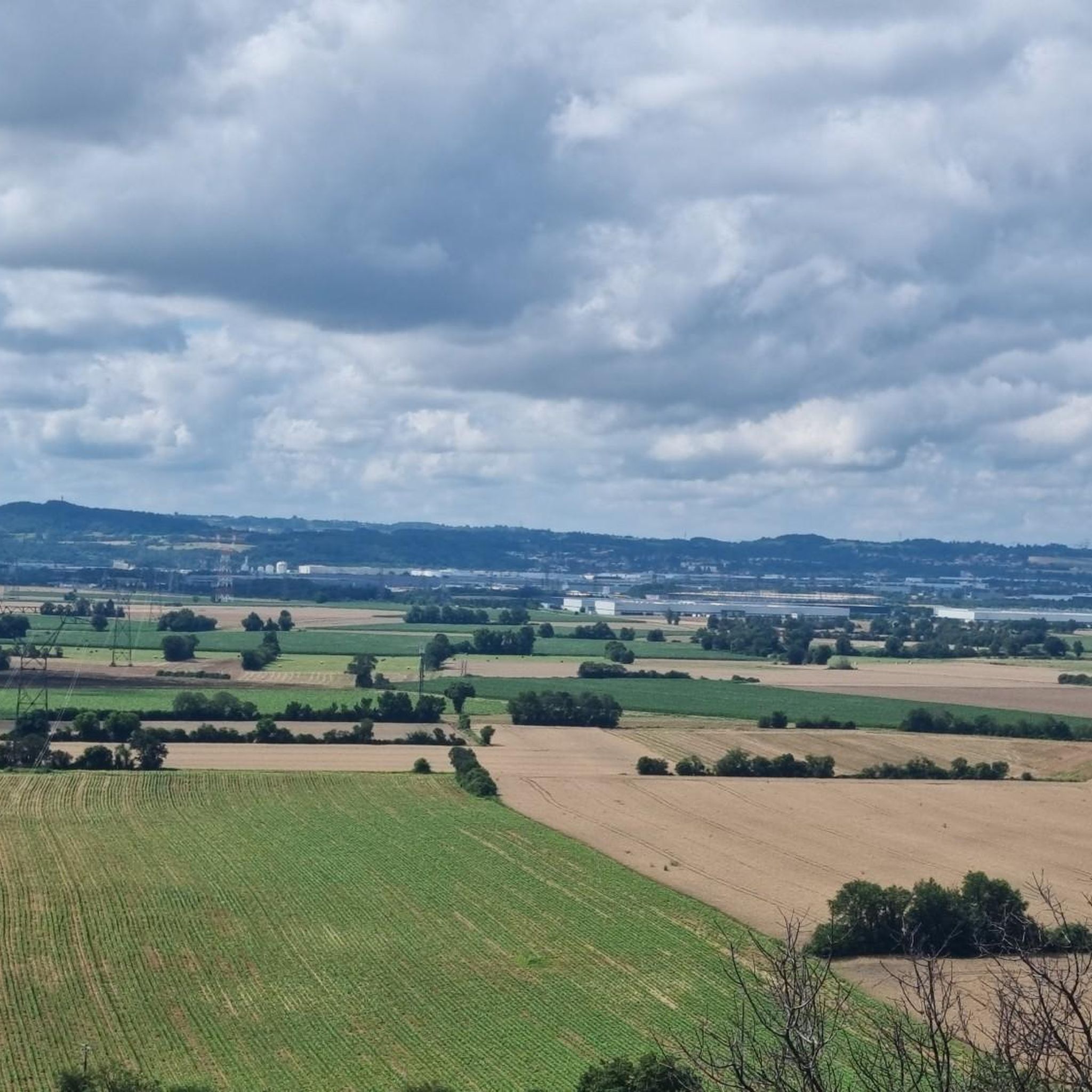
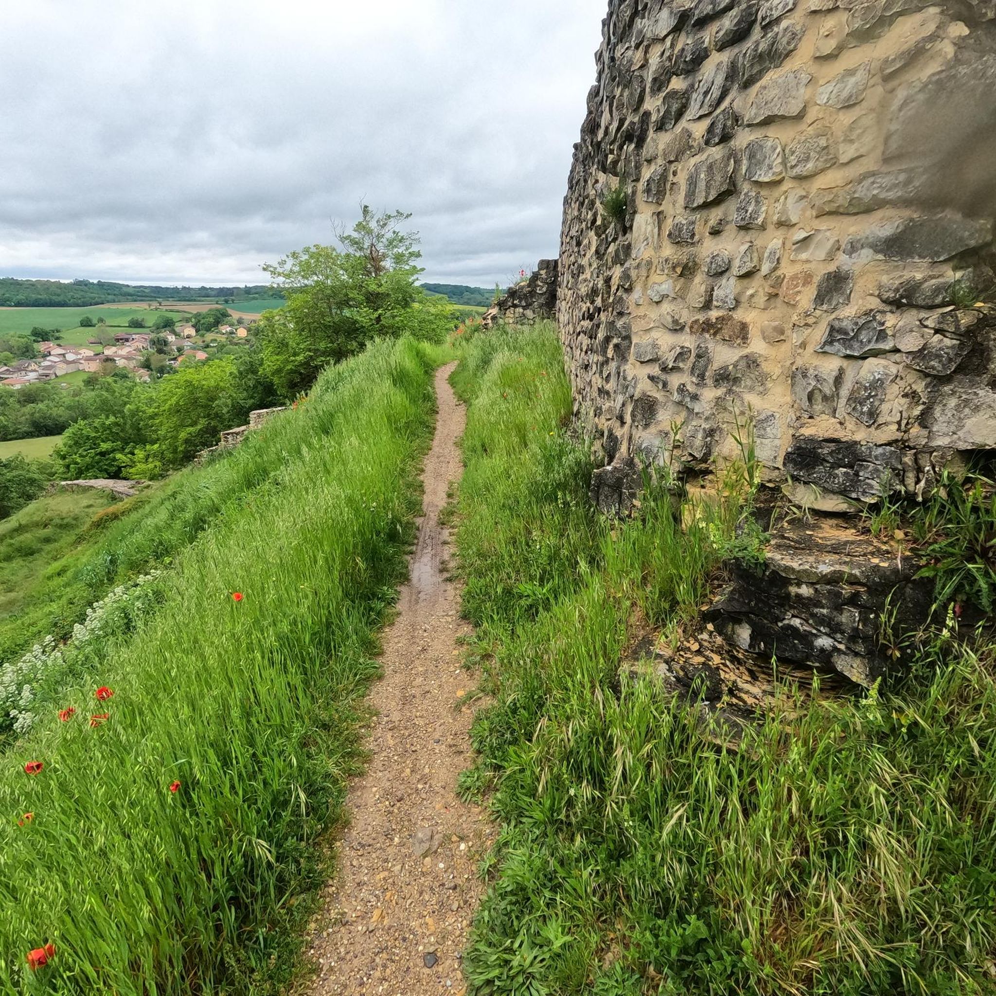
Beautiful view of the surrounding plain. The cross dates from 1860...
0
0

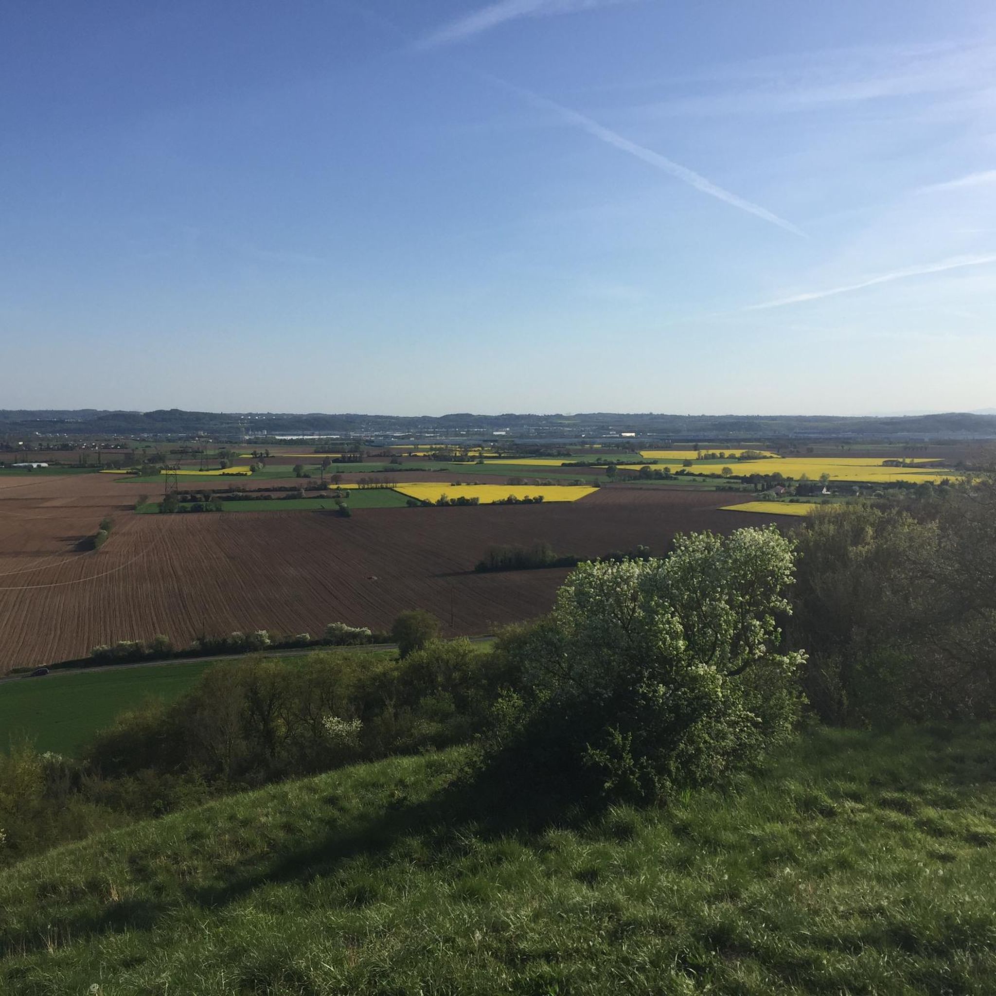
View of the surrounding fields.
0
0
La Croix de l'Éperon offers a beautiful panorama of the landscapes of the cereal plain.
3
0
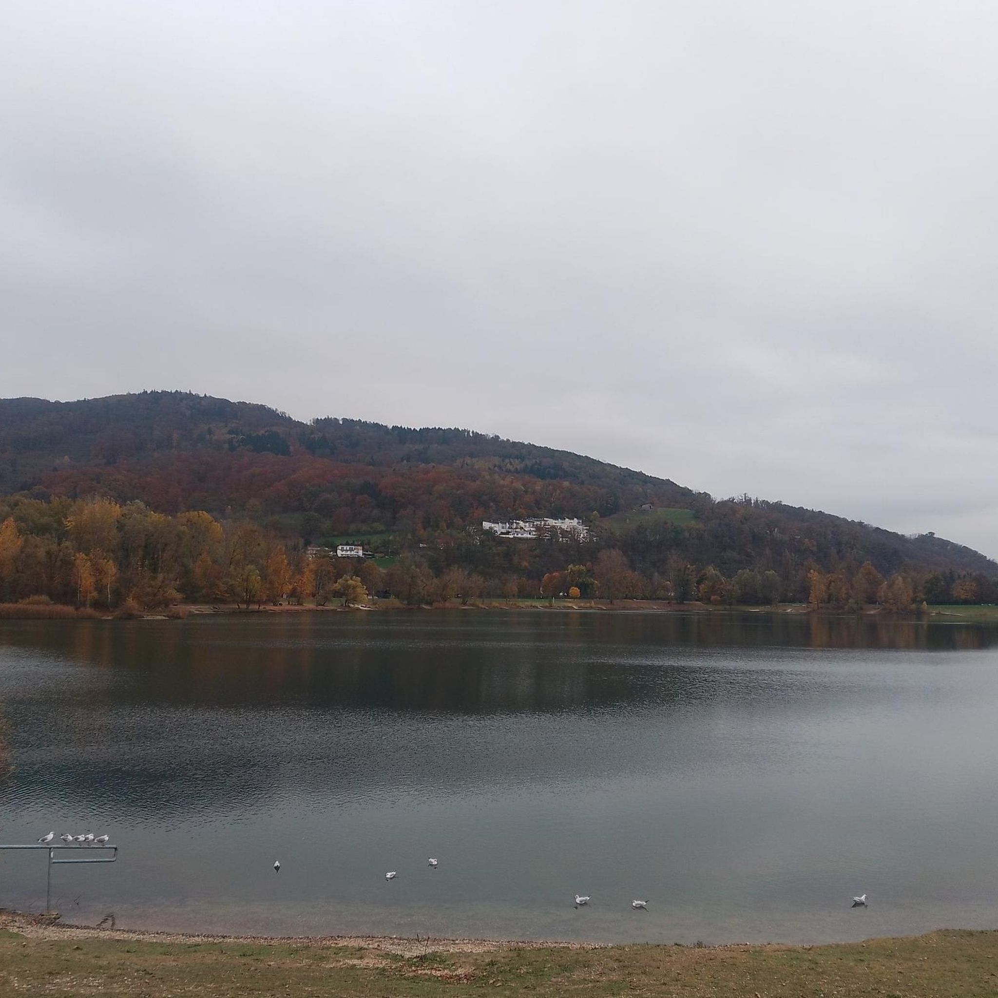
The sensitive natural space of Charamel constitutes the limit between the municipalities of Frontonas and Panossas. The pond and the bog form an oasis for fauna and flora. Here a large reedbed is home to an exceptional diversity of birds. By taking the municipal paths, you can observe this mosaic of natural habitats.
2
0
Frequently Asked Questions
How many hiking trails are available around Satolas-et-Bonce?
There are over 280 hiking routes available around Satolas-et-Bonce, catering to various fitness levels. This includes a good selection of easy, moderate, and a few more challenging options.
What kind of terrain can I expect on hikes in Satolas-et-Bonce?
The terrain around Satolas-et-Bonce is quite varied, characterized by a mix of wooded areas, open fields, and prairies. You'll find both shaded and open paths, with some trails offering picturesque views of the Alps and the serene Lac de Moras.
Are there easy hiking options suitable for beginners in Satolas-et-Bonce?
Yes, Satolas-et-Bonce offers over 100 easy hiking routes, perfect for beginners or those looking for a relaxed stroll. An example is the Cross of the Spur loop from Satolas-et-Bonce, which is 5.1 km long and features minimal elevation gain.
What do other hikers say about the trails in Satolas-et-Bonce?
The hiking routes in Satolas-et-Bonce are highly regarded by the komoot community, holding an average rating of 4.6 stars from over 450 reviews. More than 2,700 hikers have explored the area, often praising the tranquil countryside and varied scenery.
Are there any scenic viewpoints or natural features to discover on the trails?
Absolutely. Many trails offer beautiful views, including glimpses of the Alps and Lac de Moras. You can also explore areas like the Bois des Franchises, the Étang des Portions, and the Bois de la Péciat, which provide diverse natural settings.
What historical sites or landmarks can I explore near Satolas-et-Bonce?
The region around Satolas-et-Bonce is rich in history. You can visit impressive sites such as Château de Fallavier or the medieval town of Crémieu. Some trails, like the 'Chemin de la Bataille d'Anthon', even pass by historical battle sites and ruins like Château de Malatrait.
Can I find circular hiking routes in Satolas-et-Bonce?
Yes, many of the trails around Satolas-et-Bonce are circular, offering convenient starting and ending points. Examples include the 'Balade champêtre avec nos amis les bêtes autour de Satolas' and the View of the Col de l'Éperon loop from Satolas-et-Bonce.
Are there family-friendly hiking trails in the area?
The abundance of easy and moderate trails makes Satolas-et-Bonce a great destination for family hikes. Routes with minimal elevation gain and diverse scenery, such as those traversing wooded areas and open fields, are ideal for all ages.
Are dogs allowed on the hiking trails around Satolas-et-Bonce?
Generally, dogs are welcome on many trails in the rural areas around Satolas-et-Bonce, especially on paths through fields and woodlands. However, it's always recommended to keep them on a leash and respect local regulations, particularly near agricultural areas or wildlife habitats.
What is the best time of year to go hiking in Satolas-et-Bonce?
Satolas-et-Bonce offers pleasant hiking conditions for much of the year. Spring and autumn provide mild temperatures and beautiful scenery with blooming flowers or vibrant foliage. Summer is also suitable, especially for shaded routes, while winter can offer crisp, clear walks, though some paths might be muddy.
Are there any moderate hiking trails for those seeking a bit more challenge?
Yes, there are over 170 moderate hiking trails available. These routes typically involve longer distances or slightly more elevation gain than easy trails. An example is the Hiking loop from Frontonas, which covers 8 km through varied terrain.
Where can I find more information about the broader region's hiking opportunities?
For more extensive hiking circuits and information about sensitive natural areas in the broader Isère department, you can explore the Balcons du Dauphiné. Additional details can be found on their tourism website: balconsdudauphine-tourisme.com.
Most popular routes around Satolas-Et-Bonce
Most popular attractions around Satolas-Et-Bonce

Get inspired with the komoot mobile app


Explore more
Browse the best Hikes in other regions.
