Top 11 Mountain Passes around Eygaliers
Mountain passes near Eygaliers are characterized by scenic elevated points and ridges within the Alpilles Regional Natural Park. This region in Provence, France, offers a landscape of rolling hills, olive groves, and vineyards. These passes provide panoramic views of the surrounding area and the distinct limestone peaks of the Alpilles. The area is popular for both hiking and cycling, featuring diverse terrain from dry garrigue to pine forests.
Best mountain passes around Eygaliers
- The most popular mountain passes is Pass…
Last updated: June 26, 2026
Mont Ventoux summit
Highlight • Summit
Translated by Google •
Tip by

Pass of Storms
Highlight • Mountain Pass
Translated by Google •
Tip by
Sign up now to discover places like this
Get recommendations on the best single tracks, peaks, & plenty of other exciting outdoor places.
Sign up for free
Mont Ventoux Ascent from Sault
Highlight (Segment) • Climb
Translated by Google •
Tip by

Col d'Ey
Highlight • Mountain Pass
Translated by Google •
Tip by
Fontaube Pass
Highlight • Mountain Pass
Translated by Google •
Tip by
Sign up for free to discover even more mountain passes around Eygaliers.
Sign up for free
Already have an account?
Start today with a free account
Your next adventure awaits.
Login or Signup


Tips from the Community

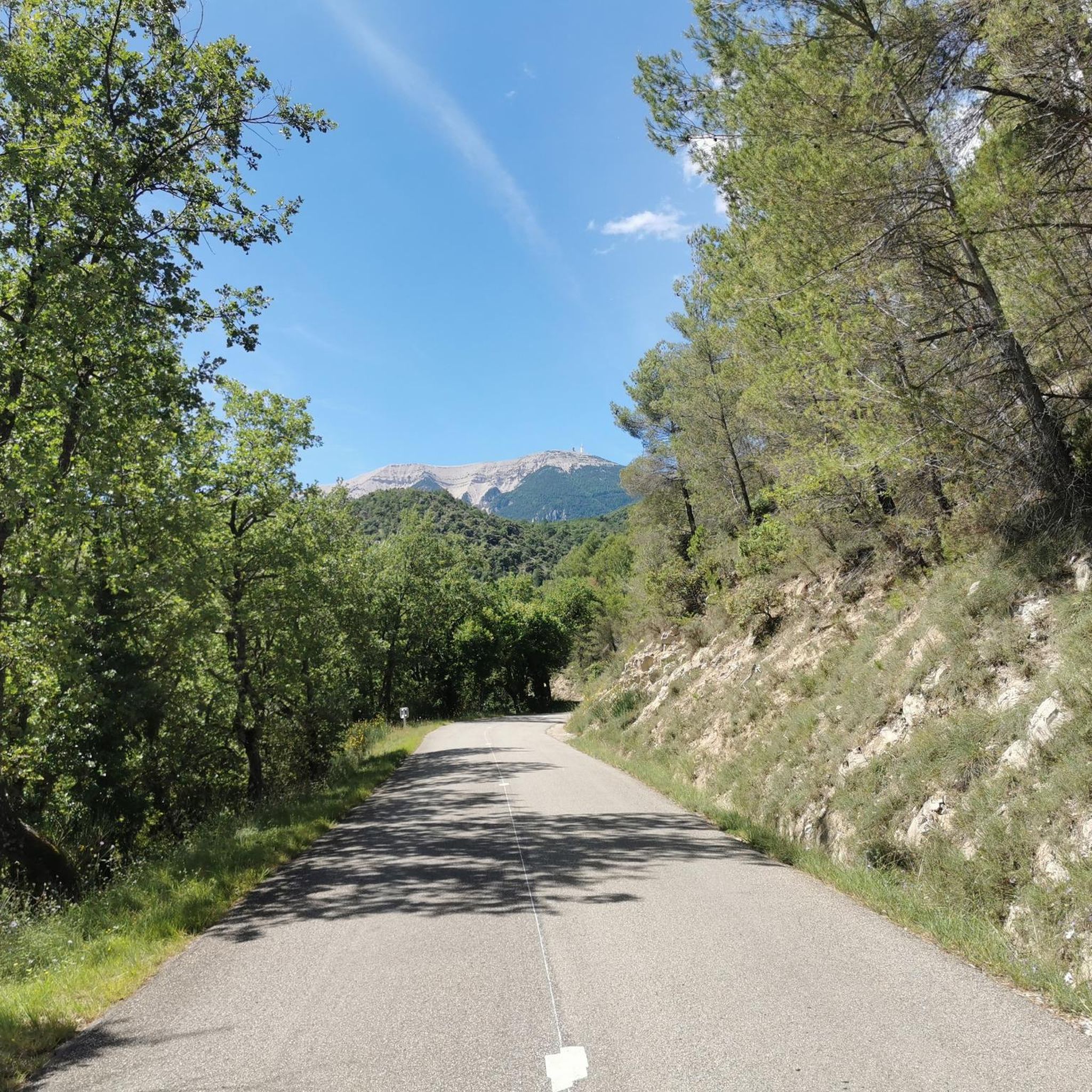
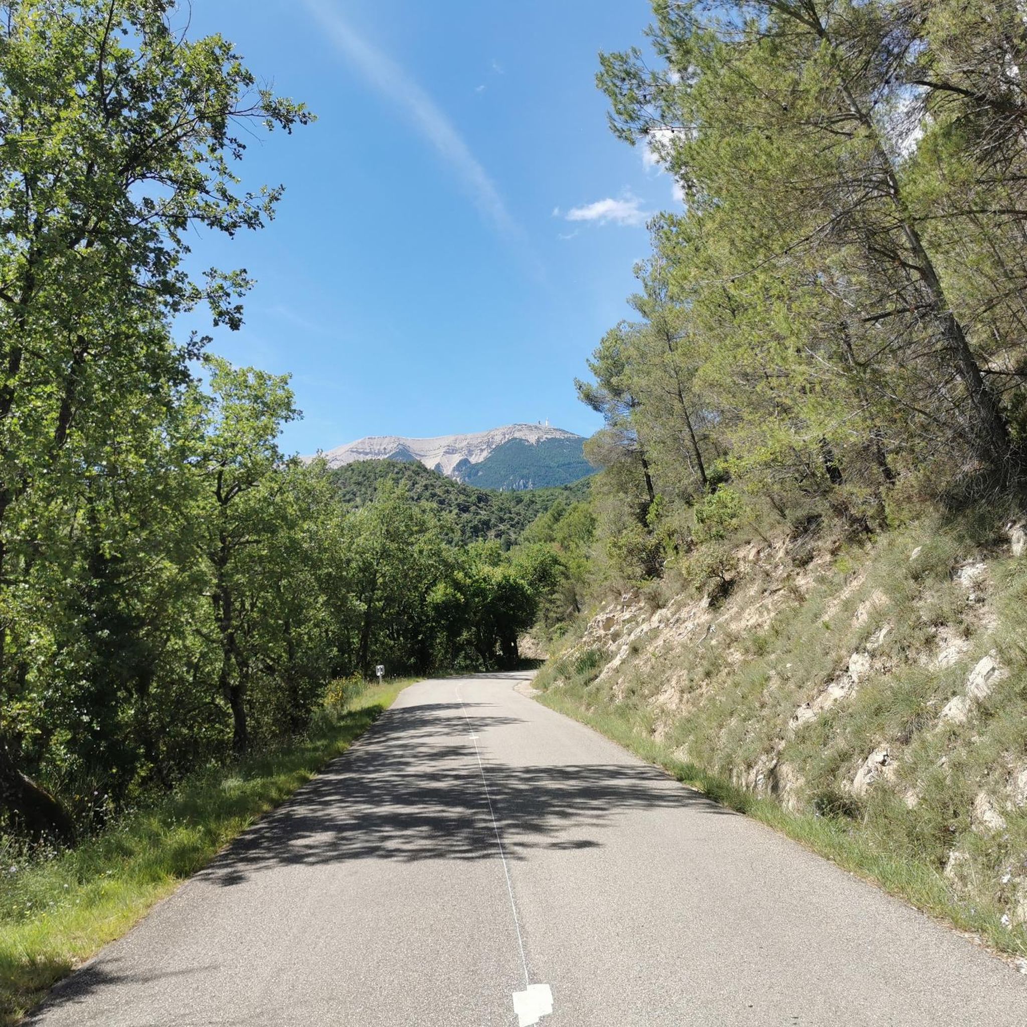
A superb climb on smooth asphalt, even if it's not the most popular climb. Therefore, traffic is very light, which I personally find more important. Up to Chalet Reynard, you're surrounded by trees. Views are rare. Overall, the climb is very pleasant and suitable for those who want to take it easy.
2
0

Very welcome after the first climb, unfortunately only open during the season.
0
0


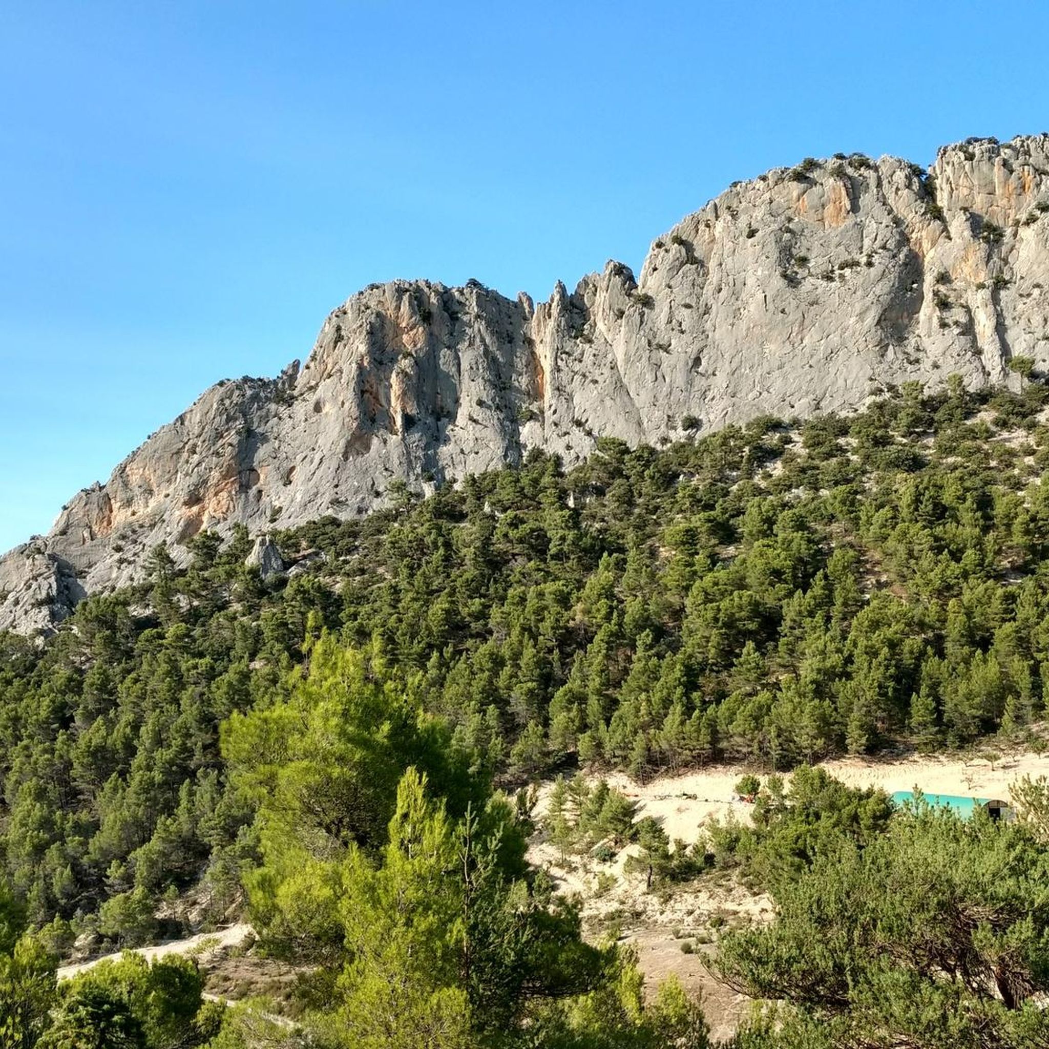
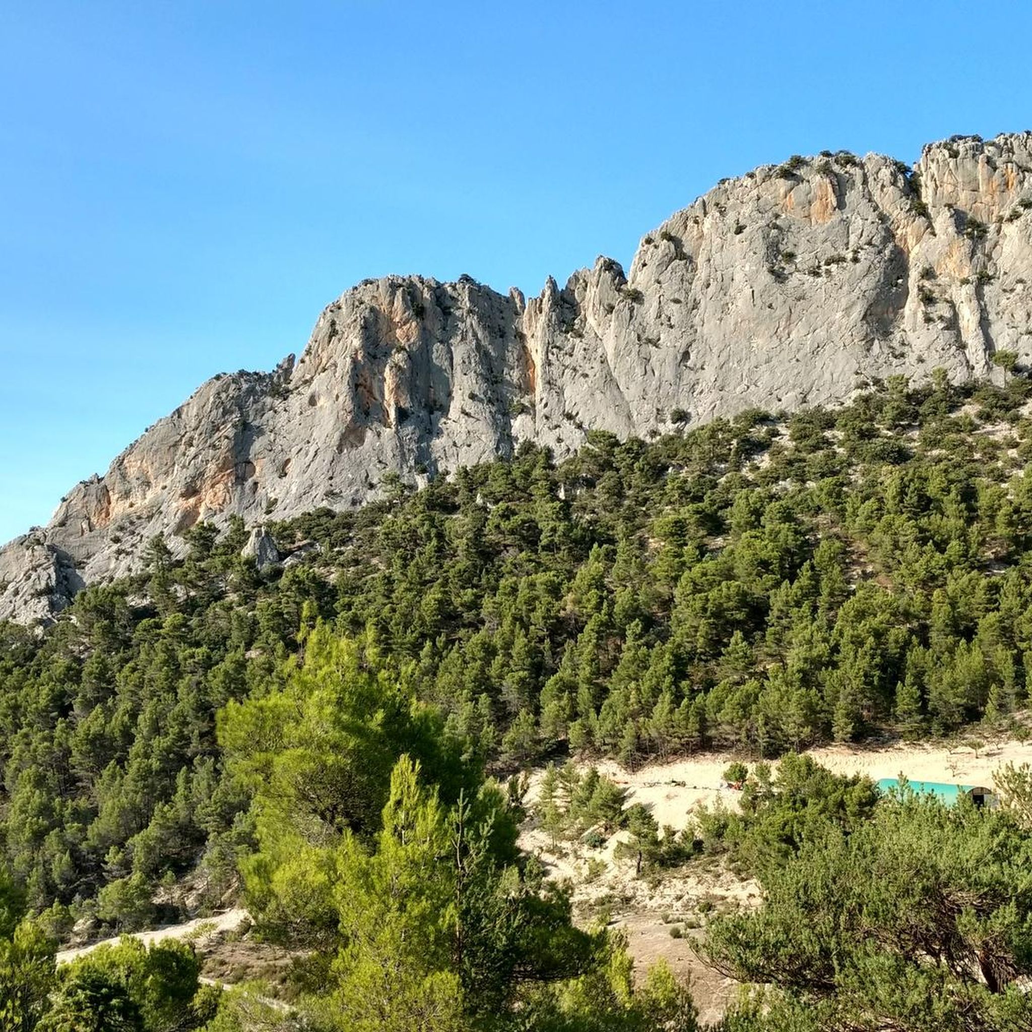
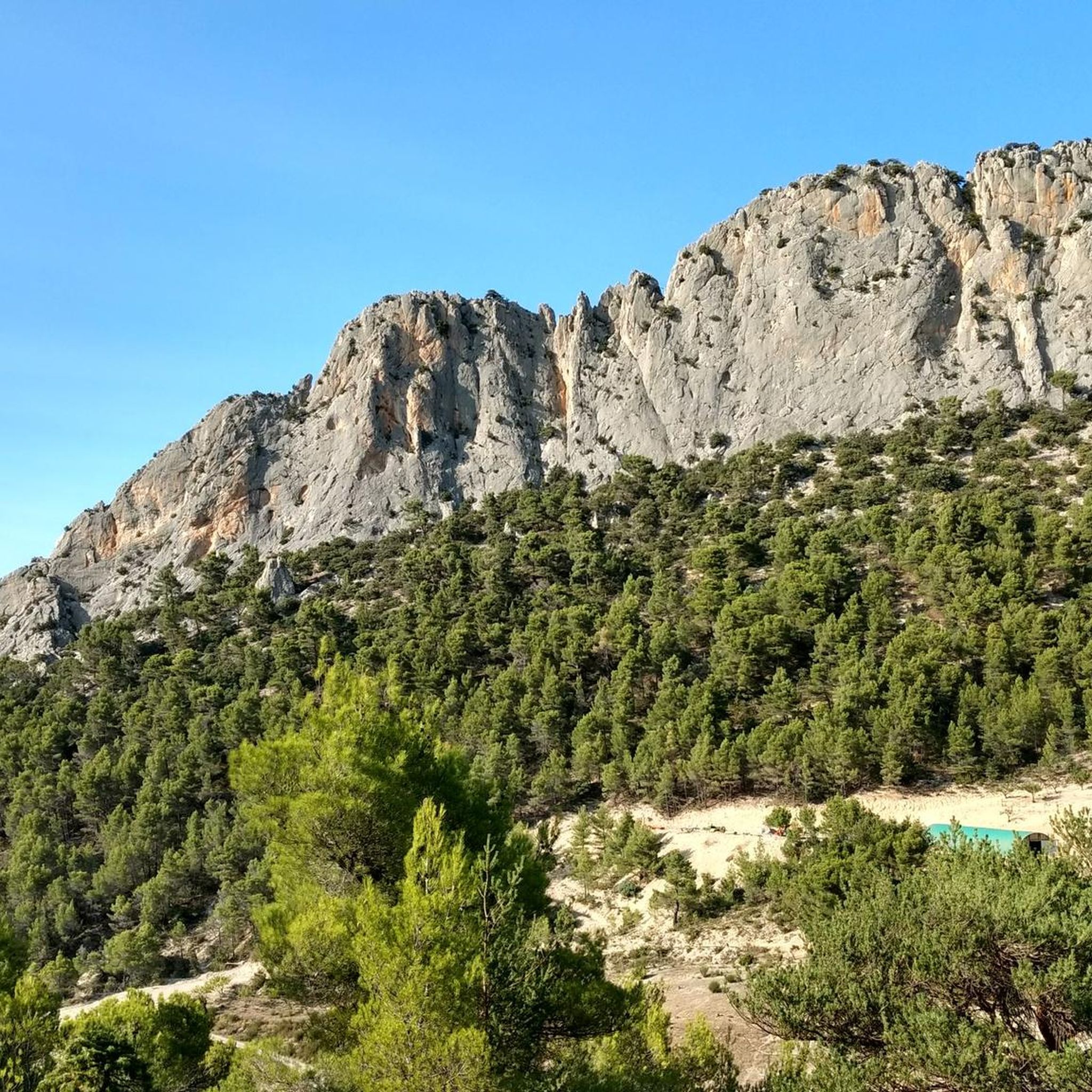
Located between Vaucluse and Drôme with incredible views of the Baronnies and Mont Ventoux.
1
0

The giant of Provence is incredibly full of character
6
0

Mont Ventoux from Sault is the easiest of the three access points to the Reynard Chalet. To the summit, the climb is 25.50 kilometers with an elevation gain of 1,145 meters. The average gradient is 4.49%. From Sault to the Reynard Chalet, the climb is 17.4 kilometers with an elevation gain of 705 meters. The average gradient is 4%. If you're going to attempt to climb all three sides of Mont Ventoux in one day, then this is the slope to tackle last.
4
3

It is on the square in front of the old summit observatory that most of the cyclists who climb Mont Ventoux meet because the sign “summit of Mont Ventoux 1,912 meters” is there and all the climbers of the whole world wants to take the famous photo. There is sometimes a queue. On this square are the Belvedere of Provence which offers views of the Albion plateau to the Mediterranean and the Belvedere of the Alps which opens onto the northern part. On a clear day, you can clearly see the department of Drôme, the Pre-Alps and the Alps. By climbing slightly to the base of the antenna, you will be able to read below written on the ground, in large figures, the new official measurement of the Giant of Provence by the IGN: 1,910 meters.
4
2
Frequently Asked Questions
What kind of natural landscapes can I expect to see around the mountain passes near Eygalières?
The mountain passes around Eygalières, nestled in the Alpilles Regional Natural Park, offer a diverse Provençal landscape. You'll encounter rolling hills, extensive olive groves, and vineyards. The distinct limestone peaks of the Alpilles are a prominent feature. Areas like the Pas de la Figuière are known for pine trees and wild aromatic herbs, while the Crête du Défends features dry garrigue and olive groves. You can also discover unique geology and biodiversity, as highlighted by the 'Stroll of the Gros Calan' trail.
Are there challenging mountain passes for experienced cyclists or hikers in the Eygalières region?
Yes, for those seeking a challenge, the Eygalières region offers several demanding ascents. The Mont Ventoux summit, an outpost of the Alps, involves a climb of almost 1,600 meters to its 1,910-meter summit, with the final part being particularly breathtaking. The Mont Ventoux Ascent from Sault, while considered the easiest of the three access points to the summit, still presents a significant challenge with a 25.50-kilometer climb and an elevation gain of 1,145 meters.
What is the best time of year to visit the mountain passes around Eygalières?
Spring is an especially delightful time to visit the mountain passes around Eygalières. During this season, the hilltop pastures are covered with colorful flowers, enhancing the scenic beauty. However, even in spring, it's advisable to be prepared for varying temperatures, especially at higher altitudes like Mont Ventoux, where it can be significantly colder than in the valley. Summers are generally warm and sunny, perfect for outdoor activities, but remember to stay hydrated.
Are there family-friendly options for exploring the mountain passes near Eygalières?
While specific 'family-friendly' categories aren't always explicitly listed for mountain passes, many of the elevated points in the Alpilles are accessible and enjoyable for families. The Pas de la Figuière, for instance, offers wide paths along its ridge, suitable for moderate hikes. The 'Stroll of the Gros Calan' is a medium-difficulty walk of about 3 hours, which could be suitable for active families. When planning, consider the distance and elevation gain to match your family's capabilities.
What outdoor activities can I do near the mountain passes around Eygalières?
The region around Eygalières is excellent for various outdoor activities. You can find numerous hiking trails, including moderate and difficult options like the 'Hills and perched villages of the Baronnies provençales' loop. For cyclists, there are gravel biking routes such as the 'Mollans-sur-Ouvèze – Fontaube Pass loop'. Additionally, running trails are available, including challenging loops around Mont Ventoux.
Where can I find panoramic viewpoints among the mountain passes?
Many mountain passes in the Eygalières area are renowned for their panoramic views. The Col d'Ey, despite its modest altitude, offers a sublime panorama, including a striking view of the north face of Mont Ventoux. The Mont Ventoux summit provides extensive views of the Albion plateau, the Mediterranean, and on clear days, the Drôme department, Pre-Alps, and Alps. Even the Fontaube Pass offers a nice view of Mont Ventoux.
Are there any historical or memorial sites associated with the mountain passes?
Yes, the Pass of Storms holds historical significance, particularly for cycling enthusiasts. It is one of the last bends of the final ascent where you'll find a memorial dedicated to Tom Simpson, who tragically died there during the Tour de France on July 13, 1967.
What are some practical tips for hiking or cycling the mountain passes?
When tackling mountain passes, especially those with significant elevation like Mont Ventoux, it's crucial to be prepared. Bring an extra jacket and winter gloves even in spring, as temperatures can drop significantly at higher altitudes. For the Mont Ventoux Ascent from Sault, the track is generally in good shape and mostly through the forest, offering tolerable temperatures. Always check weather conditions before heading out and carry sufficient water and snacks.
Are there any places to rest or get refreshments near the mountain passes?
Yes, for instance, at the Fontaube Pass, there's a warm little house where you can purchase ice cream and homemade apricot juice, with a viewpoint of Mont Ventoux from the terrace. While not every pass will have such amenities directly at the summit, many routes pass through or near charming Provençal villages where cafes and restaurants are readily available.
What makes the Crête du Défends Mountain Pass unique?
The Crête du Défends Mountain Pass, situated between Eyguières and Lamanon, is unique for its remarkable and expansive views. From its summit, you can see the peaks of the Luberon and Pays d'Aix, the Tour des Opies, the vast Plaine de Crau, and even catch a glimpse of the Camargue. This invigorating climb through dry garrigue and olive groves forms a gorgeous loop around the Massif du Défends, offering memorable vistas and a rich sensory experience with the sounds of birds.
How long do hikes typically take on the mountain passes around Eygalières?
The duration of hikes varies depending on the specific pass and chosen route. For example, the 'Stroll of the Gros Calan' which includes the Gros Calan Mountain Pass, is a medium-difficulty hike that typically takes approximately 3 hours to complete. Longer and more challenging routes, such as the 'Hills and perched villages of the Baronnies provençales' loop, can take significantly longer, often a full day or more. Always check the route details for estimated times and difficulty before starting.
Can I find parking at the trailheads for the mountain passes?
While specific parking information for every trailhead isn't always available, some passes, like the Fontaube Pass, are noted to have parking facilities. For other popular passes, parking is often available in nearby villages or designated areas at the start of well-known routes. It's always advisable to research parking options for your specific starting point before your trip.
Most popular routes around Eygaliers
Most popular attractions around Eygaliers

Get inspired with the komoot mobile app


Explore more
See even more epic mountain passes by checking out these guides around Eygaliers:
