The best mountain hikes around Eygaliers
5.0
(3)
26
hikers
2
hikes
Mountaineering routes around Eygalières are set within the Alpilles Regional Nature Reserve, characterized by dramatic limestone landscapes, rocky relief, and impressive slopes. The region features prominent natural landmarks such as Mont Gaussier and the Tour des Opies, the highest point in the Alpilles. Mountaineering here involves navigating varied terrain, from arid garrigue to olive groves and vineyards, with routes often offering panoramic views. The area's geology provides a challenging environment for mountaineers.
Best mountaineering routes around Eygaliers
- The most popular mountaineering route is Pass of Storms – Grand panorama loop from Mont Ventoux, an 8.6 miles (13.8 km) trail that takes 4 hours 28 minutes to complete. This moderate route offers expansive views.
- Another top favourite among local mountaineers is Summit of Mont Ventoux loop from Mont Ventoux, a moderate 5.9 miles (9.5 km) path. This route includes significant elevation gain towards the summit.
- Local mountaineers also love the Pass of Storms – Grand panorama loop from Chalet Reynard, a 9.6 miles (15.5 km) trail leading through varied mountain terrain, often completed in about 5 hours 9 minutes.
- Mountaineering around Eygalières is defined by limestone peaks, rocky formations, and extensive trail networks. The region offers options for different ability levels, from moderate ascents to more challenging routes.
- The routes in Eygalières are highly rated by the komoot community with an average score of 4.8 stars from over 7 reviews. More than 35 mountaineers have used komoot to explore Eygalières's varied terrain.
Last updated: June 25, 2026
5.0
(1)
11
hikers
13.8km
04:28
590m
590m
Moderate mountaineering route. Good fitness required. Easily-accessible paths. Suitable for all skill levels.
5.0
(1)
10
hikers
15.5km
05:09
750m
750m
Hard mountaineering route. Very good fitness required. Easily-accessible paths. Suitable for all skill levels.

Sign up for free
5.0
(1)
5
hikers
9.22km
03:09
490m
490m
Moderate mountaineering route. Good fitness required. Easily-accessible paths. Suitable for all skill levels.
Our route recommendations are based on thousands of hikes, rides, and runs completed by other people on komoot.
Start today with a free account
Your next adventure awaits.
Login or Signup
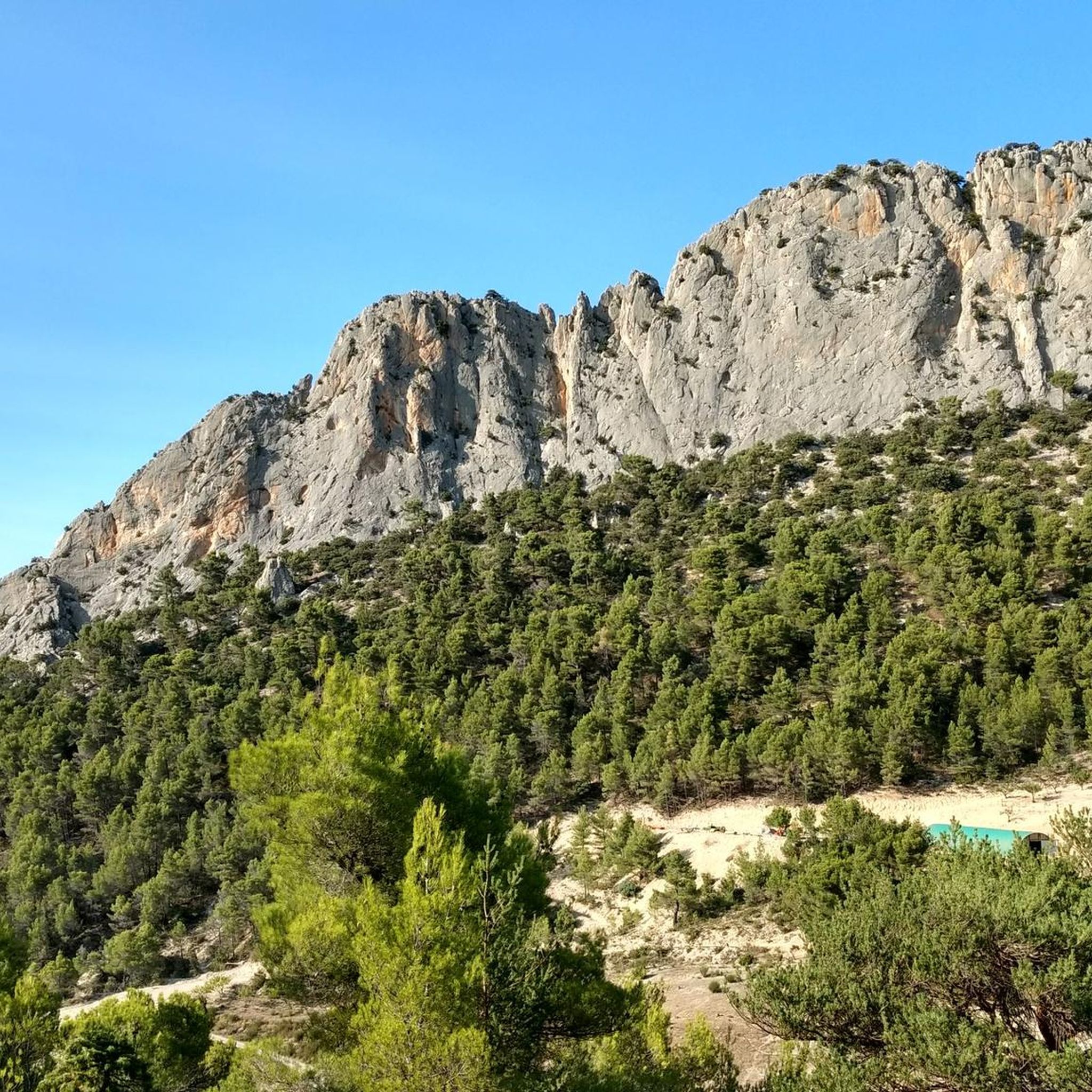
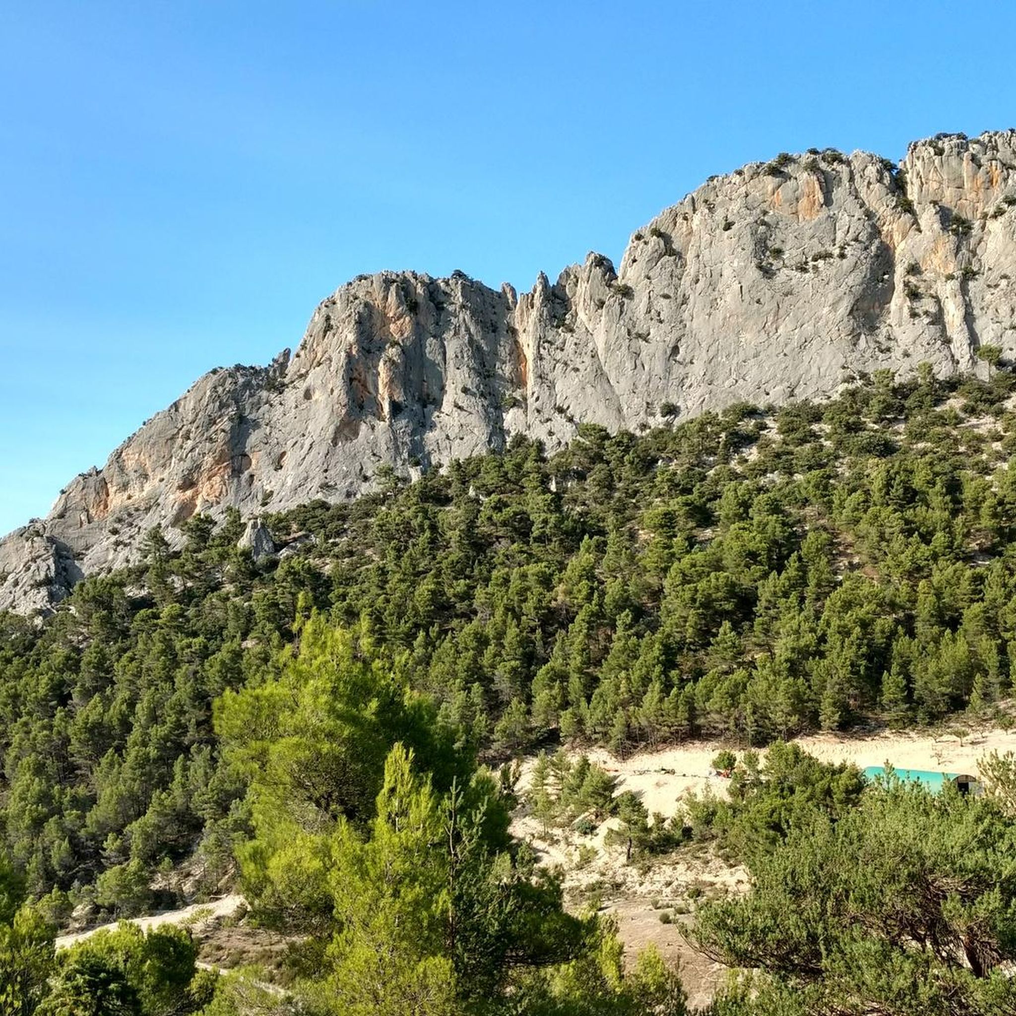
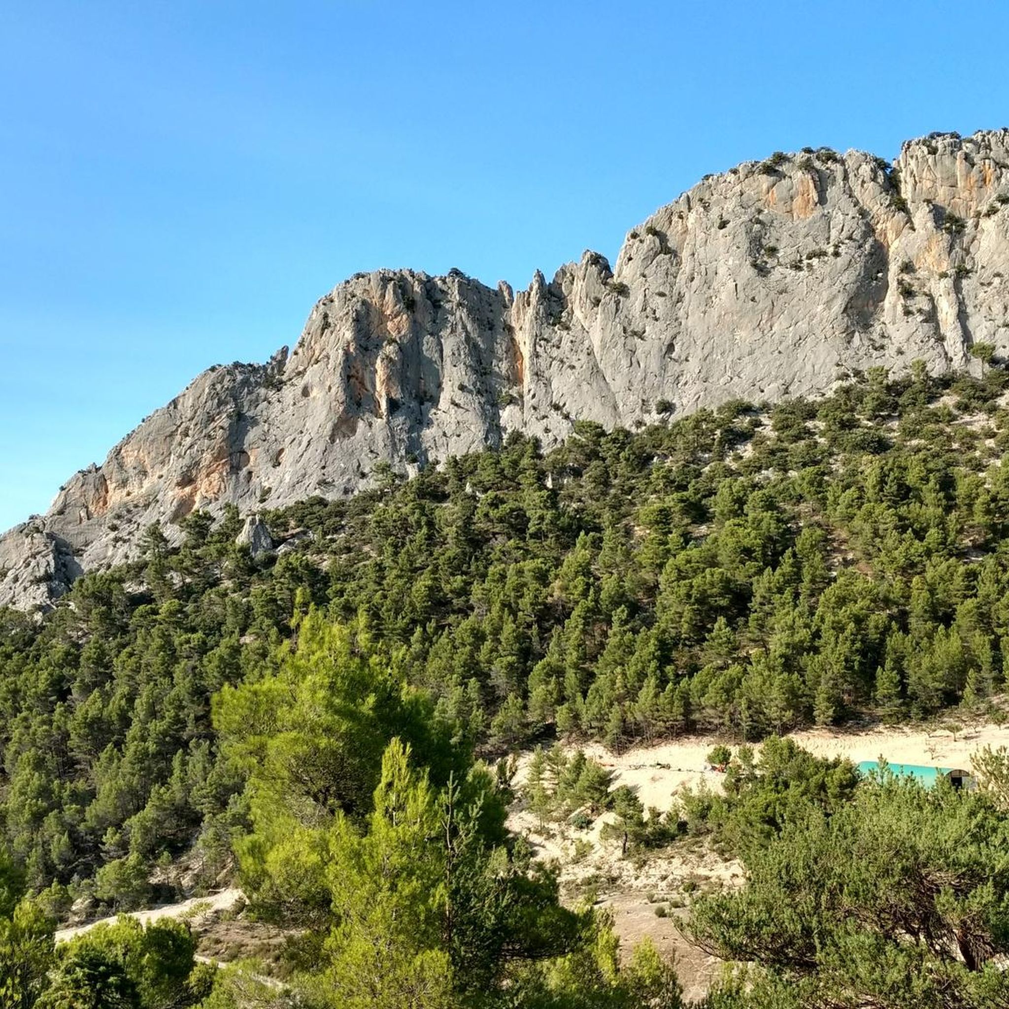
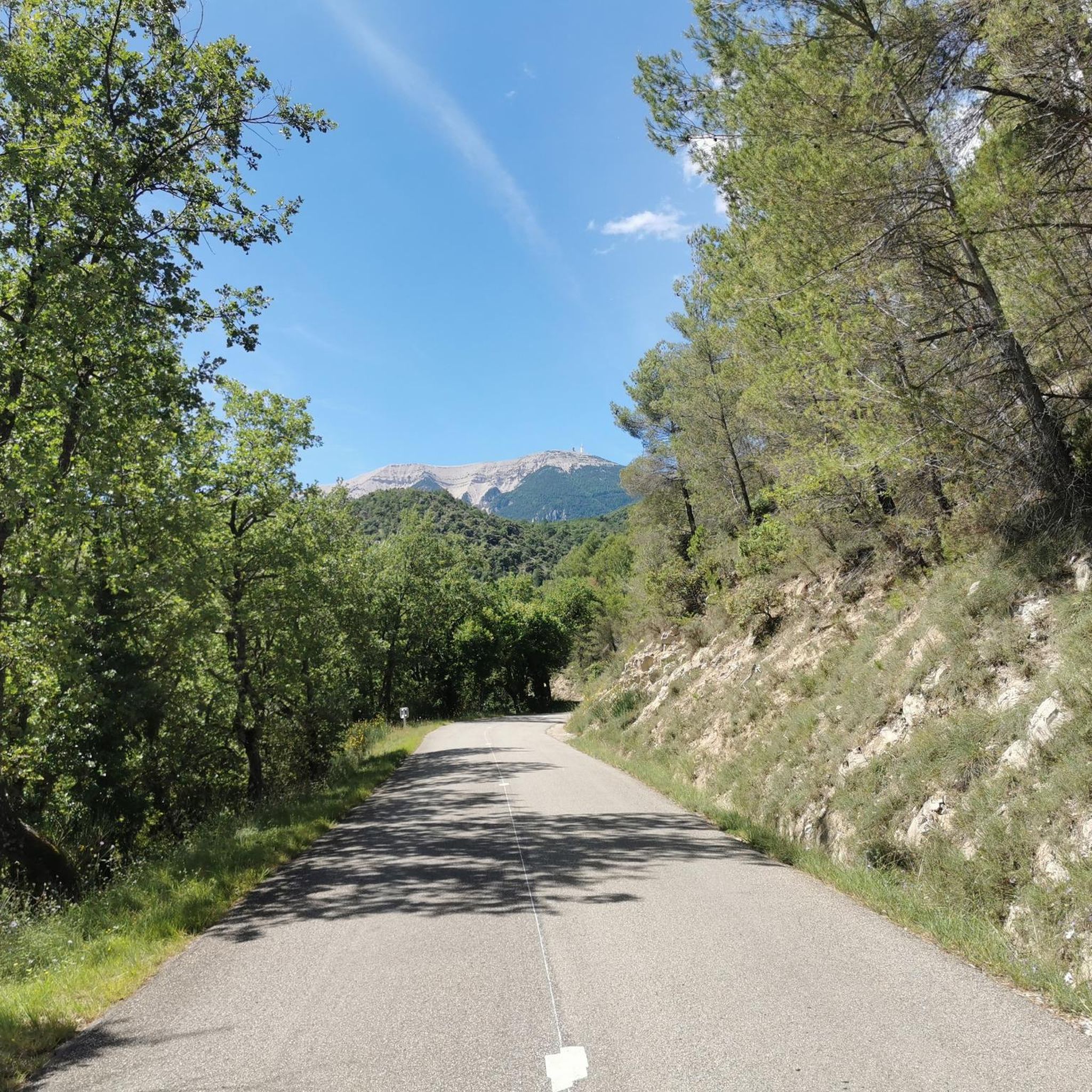

Tips from the Community

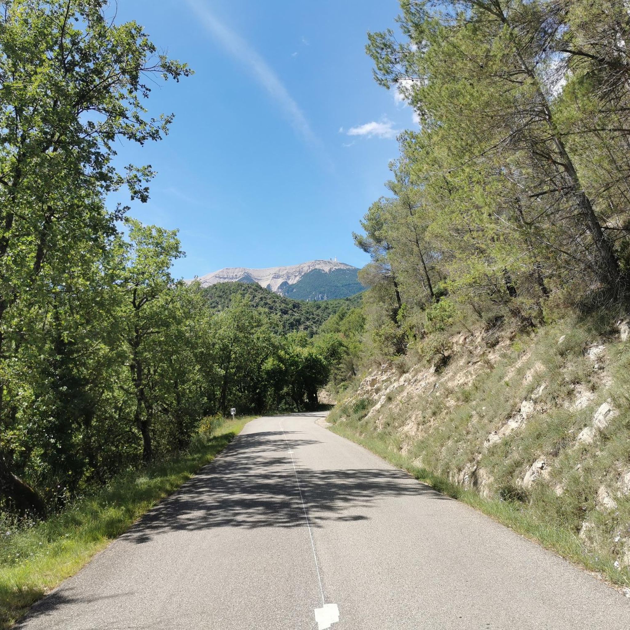
An iconic passage along the ridge, between scree and clearings. Here, you can breathe in the altitude and enjoy a first wide panorama towards the Baronnies and the Lure mountain.
0
0

Beautiful trails, I recommend it, but you need to be in good physical condition 😆🤪💪💪
0
0

The wind can be strong
0
0

exceptional landscapes along the ridge
0
0

The giant of Provence is incredibly full of character
6
0

This balcony path offers multiple panoramas with magnificent views of the valley but also of the Alps in the distance.
1
0
Frequently Asked Questions
How many mountaineering routes are available around Eygalières?
There are several mountaineering routes detailed for the Eygalières area. Our guide currently features four distinct routes, offering various challenges within the Alpilles Regional Nature Reserve.
What are the difficulty levels of mountaineering routes around Eygalières?
The mountaineering routes in Eygalières range from moderate to difficult. For instance, the Pass of Storms – Grand panorama loop from Mont Ventoux and the Summit of Mont Ventoux loop from Mont Ventoux are rated as moderate. The Pass of Storms – Grand panorama loop from Chalet Reynard is considered difficult, providing a more challenging experience.
Are there any circular mountaineering routes in the Eygalières area?
Yes, all the featured mountaineering routes around Eygalières are circular. Examples include the Pass of Storms – Grand panorama loop from Mont Ventoux, the Summit of Mont Ventoux loop from Mont Ventoux, and the Mountaineering loop from Mont Ventoux, allowing you to start and finish at the same point.
What natural features or landmarks can I expect to see on these routes?
Mountaineering routes in Eygalières offer stunning views of the Alpilles Regional Nature Reserve, characterized by dramatic limestone landscapes and rocky formations. You can expect panoramic vistas from high points like the Mont Ventoux summit and pass through areas like the Pass of Storms. The region is also known for its olive groves and vineyards.
What is the best time of year for mountaineering in Eygalières?
The Alpilles region, including Eygalières, is generally pleasant for outdoor activities in spring and autumn when temperatures are milder. Summers can be very hot, and some trails might have seasonal closures due to fire risk. Winter offers cooler conditions, but routes can be more challenging. Always check local weather conditions before heading out.
Can I bring my dog on the mountaineering trails in Eygalières?
While many trails in France are dog-friendly, it's important to check specific regulations for the Alpilles Regional Nature Reserve, as protected areas often have rules regarding dogs, especially concerning wildlife and livestock. Always keep your dog on a leash and ensure they are well-behaved and capable of handling the terrain.
Are there any family-friendly mountaineering options in Eygalières?
The mountaineering routes listed are generally rated moderate to difficult, suggesting they might be more suitable for experienced hikers and mountaineers. For families, it's advisable to look for easier hiking trails within the Alpilles Regional Nature Reserve, which offers a variety of paths with less elevation gain and shorter distances, such as those around the Arboretum du Badon or shorter loops around Eygalières.
Where can I find parking for mountaineering routes in Eygalières?
Specific parking information for each route is usually available on the individual tour pages. For routes starting from Mont Ventoux or Chalet Reynard, designated parking areas are typically available at these popular starting points. It's always recommended to check the route details on komoot for precise parking locations.
Do I need a permit for mountaineering in the Alpilles Regional Nature Reserve?
Generally, permits are not required for hiking or mountaineering on established trails within the Alpilles Regional Nature Reserve. However, it's always good practice to be aware of any specific local regulations, especially concerning protected areas or private land. During certain periods, access might be restricted due to fire risk, so always check local advisories.
What do other mountaineers say about the routes in Eygalières?
The mountaineering routes around Eygalières are highly rated by the komoot community, with an average score of 4.8 stars from over 7 reviews. Mountaineers often praise the varied terrain, the challenging ascents, and the expansive panoramic views, particularly from the Mont Ventoux summit.
Are there any routes that offer significant elevation gain?
Yes, several routes in the Eygalières area feature significant elevation gain. For example, the Pass of Storms – Grand panorama loop from Chalet Reynard involves an ascent of approximately 749 meters, offering a substantial challenge for mountaineers seeking elevation.
Can I find routes that take around 4-5 hours to complete?
Absolutely. Many of the mountaineering routes in the Eygalières area fall within this duration. The Pass of Storms – Grand panorama loop from Mont Ventoux typically takes about 4 hours and 28 minutes, while the Summit of Mont Ventoux loop from Mont Ventoux is around 3 hours and 17 minutes. The Pass of Storms – Grand panorama loop from Chalet Reynard is a longer option, usually completed in about 5 hours and 9 minutes.
What are some notable peaks or summits I can reach in the area?
The most prominent summit accessible via these routes is the Mont Ventoux summit, which offers breathtaking 360-degree panoramic views. While not directly in Eygalières, it's a key feature of the broader region and a highlight of several mountaineering tours.
Most popular routes around Eygaliers
Most popular attractions around Eygaliers

Get inspired with the komoot mobile app


Explore more
Browse the best Mountain Hikes & Routes in other regions.
