Top 6 Mountain Passes around Gresin
Mountain passes around Gresin are situated in the Savoie department of the Auvergne-Rhône-Alpes region in south-eastern France. Gresin, a former commune, is located in a mountainous region with elevations ranging from 238 to 730 meters. While Gresin itself is a small village, the surrounding area offers various mountain passes for exploration. This region provides diverse terrain for outdoor activities.
Best mountain passes around Gresin
- The most popular mountain pass is Épine Pass, a summit that connects the Thônes and…
Last updated: June 26, 2026
Épine Pass
Highlight • Summit
The pass is closed in winter
Translated by Google •
Tip by

Col du Banchet
Highlight • Mountain Pass
Translated by Google •
Tip by

Sign up now to discover places like this
Get recommendations on the best single tracks, peaks, & plenty of other exciting outdoor places.
Sign up for free
Col de la Lattaz (754 m)
Highlight • Mountain Pass
Translated by Google •
Tip by

Crusille Pass (573 m)
Highlight • Mountain Pass
Translated by Google •
Tip by

Col du Mont Tournier (851 m)
Highlight • Mountain Pass
Translated by Google •
Tip by
Start today with a free account
Your next adventure awaits.
Login or Signup

Tips from the Community


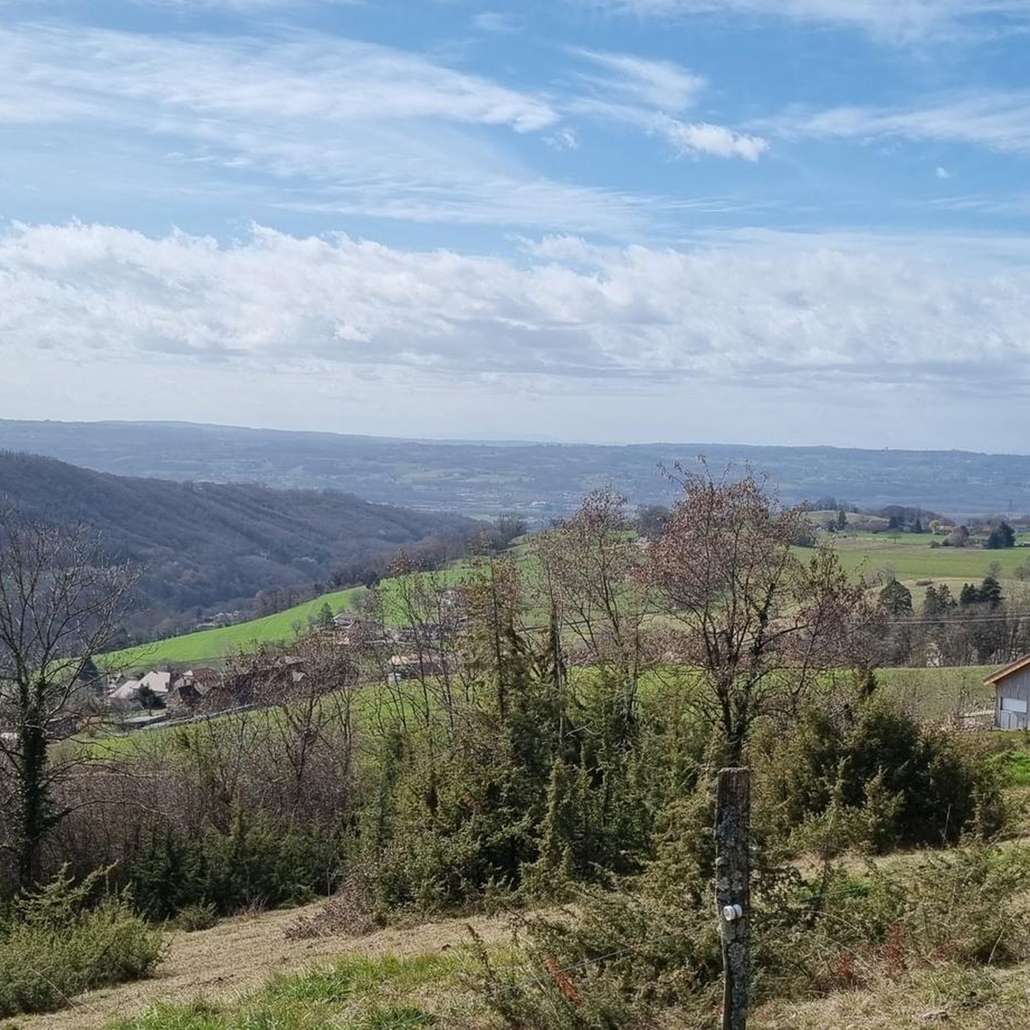
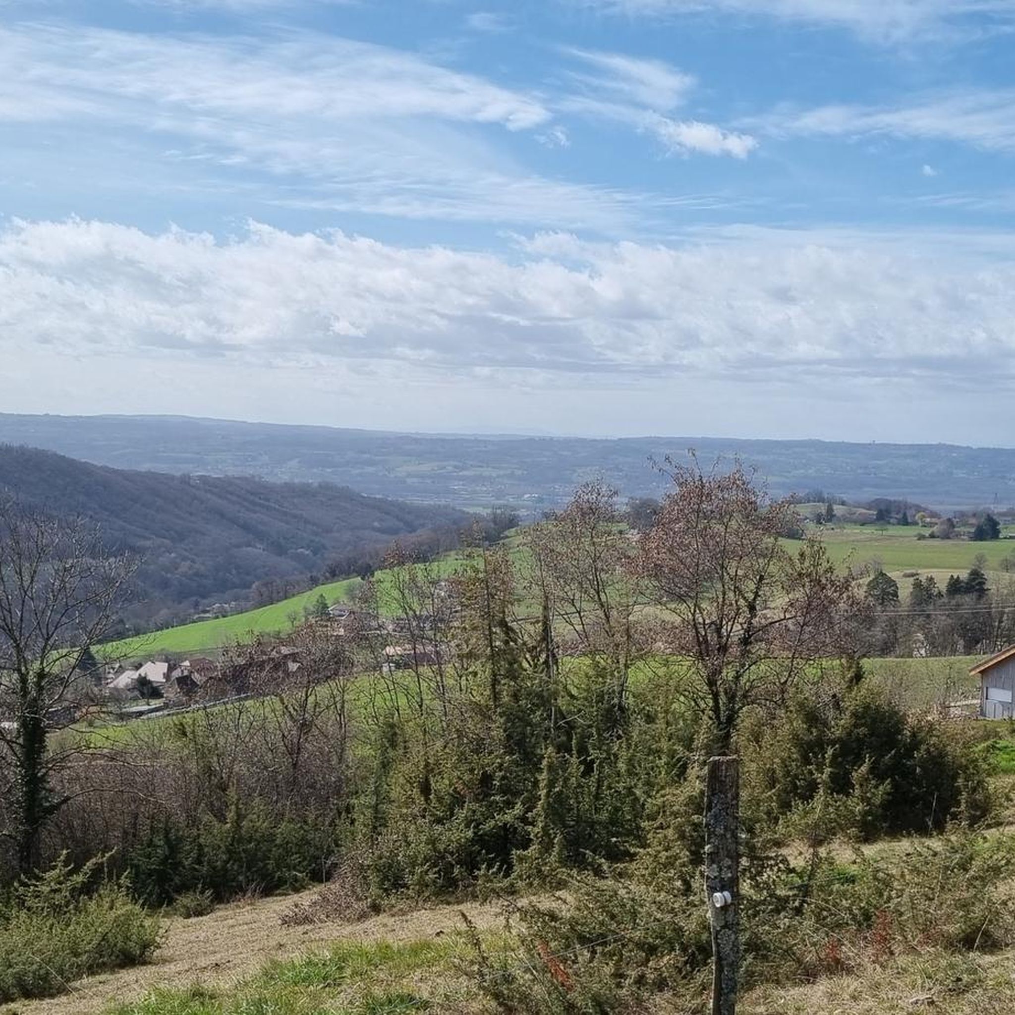
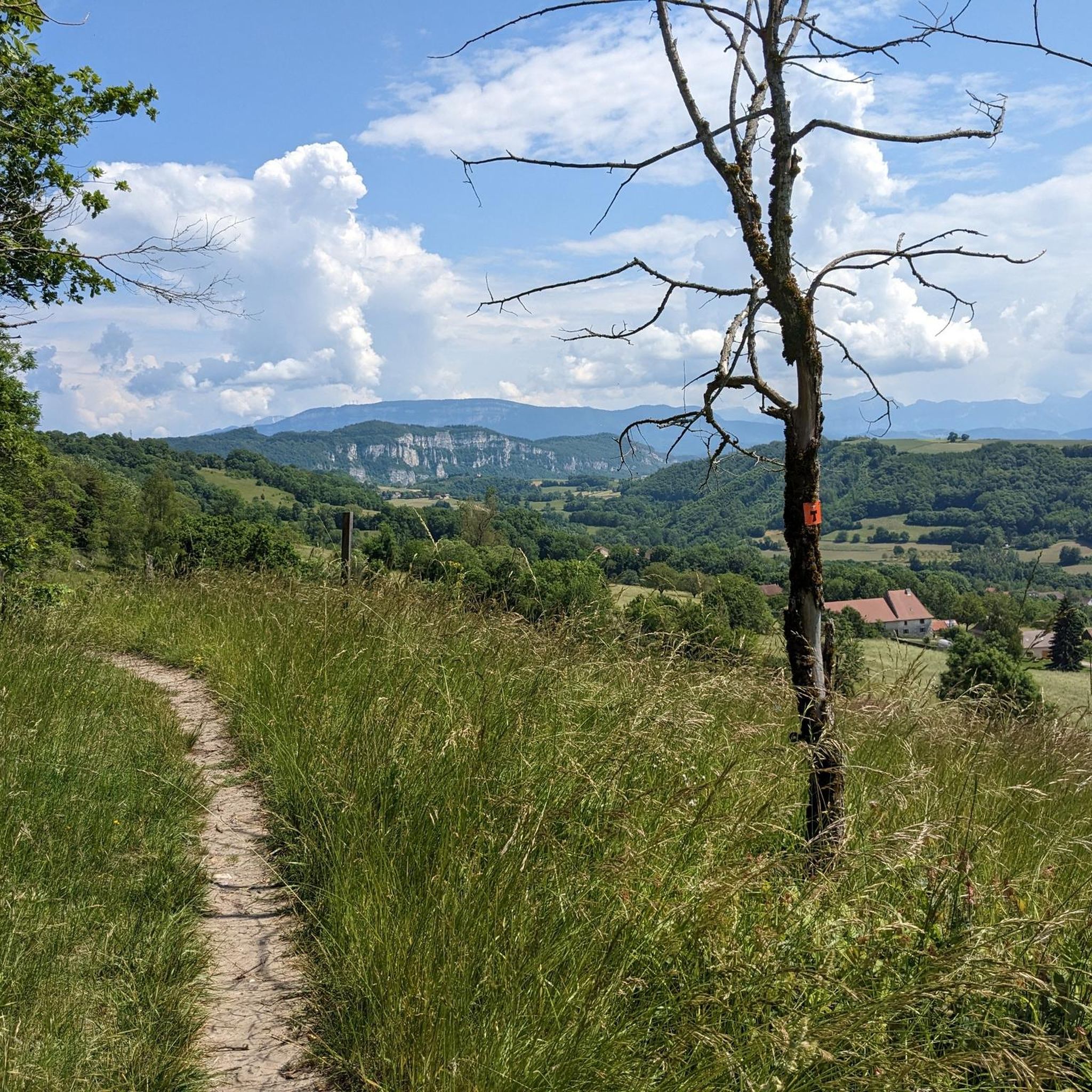
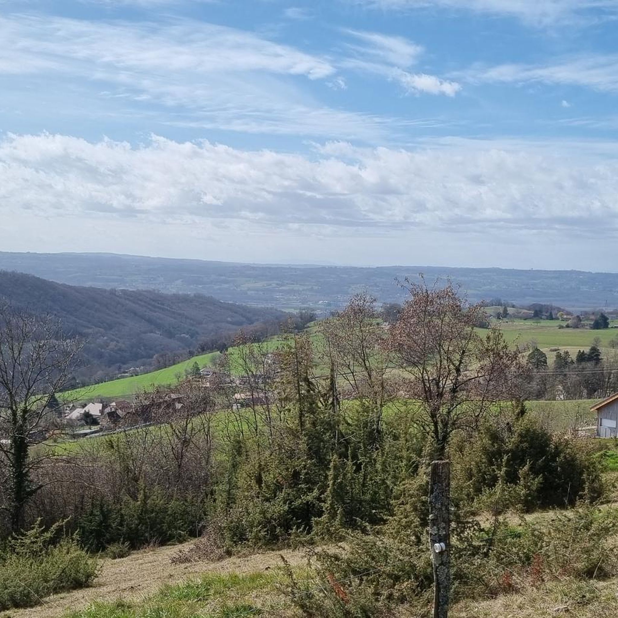
A very quiet and pleasant road. On the Chambéry side, a good part is in the shade, the slope of the main road is rather constant around 7-8%. On the Novalaise side, the mineral aspect with the cliff is more present in the middle of the climb. This side is quite steep with kilometers at 8-9%. On each side, 1 belvedere offers a breathtaking view of Lake Aiguebelette (approx. 2 km from the summit) and on the other side of Chambéry, the Bauges, Belledonne, the Chartreuse (500 m from the summit). The summit is in the forest.
1
0

Leaving from Chambery, the beginning hurts a little, but the rest is quite good
0
1

There is a mistake about the valleys!
2
0


Pass without too much traffic. Quite steep start to reach Saint Sulpice, the rest is rather regular. The pass is closed in winter
2
0

Unmissable “road cycling” of the Col de l'Épine located at an altitude of 990 m.
1
0

The Col d'Épine connects the Thônes and Faverges valleys. At the summit, which rises to an altitude of 987 m, to the west you have a breathtaking view of Chambéry, the south of Lake Bourget and the Bauges massif. On the eastern slope, you can enjoy a superb panoramic view of Lake Aiguebelette.
1
0
Frequently Asked Questions
What kind of mountain passes can I expect to find around Gresin?
The mountain passes around Gresin, located in the Savoie department of France, offer diverse terrain. You'll find passes ranging from shaded and less difficult, like Col du Banchet, to those with more challenging climbs and rewarding panoramic views, such as Épine Pass. The region is suitable for both cycling and hiking.
Which mountain passes offer the best panoramic views?
Épine Pass is highly recommended for its breathtaking views of Chambéry, the southern part of Lake Bourget, and the Bauges massif. From Col du Banchet, the effort to reach the pass is rewarded with a beautiful vista.
Are there any less-trafficked or 'hidden gem' passes to explore?
Col du Mont Tournier (851 m) is known for being shady, quiet, and uncrowded, offering a peaceful experience amidst the forest. It's a beautiful climb that provides a sense of discovery.
What outdoor activities can I do near these mountain passes?
The area around Gresin is excellent for various outdoor activities. You can find numerous MTB trails, gravel biking routes, and running trails. For example, explore the MTB Trails around Gresin, try Gravel biking around Gresin, or go for a run on the Running Trails around Gresin.
Are there family-friendly mountain passes or trails suitable for beginners?
For those seeking easier options, Col du Banchet is described as shaded and without significant difficulty, making it a good choice for a more relaxed outing. Crusille Pass (573 m) is also noted as a fairly rolling and pleasant pass.
What is the best time of year to visit the mountain passes around Gresin?
While specific seasonal closures vary, passes like Épine Pass are closed in winter. Generally, spring through autumn offers the best conditions for cycling and hiking, with pleasant temperatures and open routes. Early mornings are often recommended for passes like Crusille Pass (573 m) to avoid cars.
Can I bring my dog on the trails around these mountain passes?
While specific rules for each trail may vary, the Avant-Pays Savoyard region, where Gresin is located, generally welcomes hikers with dogs. It's always advisable to keep dogs on a leash and ensure they are well-behaved, especially in areas with wildlife or other visitors. Many trails around passes like Col du Mont Tournier (851 m), which is in the forest, can be suitable for dog walking.
Where can I find parking for mountain pass hikes near Gresin?
Access points for passes often have designated parking areas. For instance, Crusille Pass (573 m) can be climbed from Saint-Genix-sur-Guiers or Novalaise, which would be starting points for parking. For Col du Mont Tournier (851 m), you would typically find parking at the base of the climb or nearby villages like Saint-Maurice-de-Rotherens.
What are some notable features of the <a href="https://www.komoot.com/highlight/5751796" target="_blank" rel="noopener">Col de la Lattaz (754 m)</a>?
Col de la Lattaz (754 m) is a climb in the Massif du Jura region, featuring a 2.7-kilometer ascent with an elevation gain of 181 meters and an average gradient of 6.8%. From this pass, you can continue your journey towards the Col du Mont Tournier.
What makes <a href="https://www.komoot.com/highlight/3542896" target="_blank" rel="noopener">Crusille Pass (573 m)</a> a popular choice?
Crusille Pass (573 m) is appreciated for being a fairly rolling and pleasant route, especially enjoyable in the morning. It can be accessed from Saint-Genix-sur-Guiers or Novalaise, offering flexible starting points for cyclists and hikers.
Are there any specific tips for cycling <a href="https://www.komoot.com/highlight/3118173" target="_blank" rel="noopener">Épine Pass</a>?
Cyclists note that Épine Pass has a quite steep start to reach Saint Sulpice, but the rest of the climb is rather regular. It's considered an unmissable road cycling experience. Remember that the pass is closed in winter.
Most popular attractions around Gresin

Get inspired with the komoot mobile app


Explore more
See even more epic mountain passes by checking out these guides around Gresin:
