Top 20 Mountain Passes around Guillestre
Mountain passes around Guillestre offer access to the Hautes-Alpes region of France, known for its diverse terrain and high-altitude routes. The area features a landscape of valleys and peaks, providing various routes for exploration. Guillestre serves as a base for accessing these passes, which connect different valleys and regions. These passes are notable for their elevations and the views they provide over the surrounding mountain ranges.
Best mountain passes around Guillestre
- The most popular mountain pass is Col de Vars…
Last updated: June 26, 2026
Col de Vars
Highlight • Mountain Pass
Translated by Google •
Tip by

Ascent of Col de Vars from Les Gleizolles
Highlight (Segment) • Climb
Translated by Google •
Tip by

Sign up now to discover places like this
Get recommendations on the best single tracks, peaks, & plenty of other exciting outdoor places.
Sign up for free
Col Fromage
Highlight • Mountain Pass
Borrowed by the famous GR 5, it offers an unobstructed view of the Cristillan valley to the south and the points of La Selle and Rasis to the northeast.
Translated by Google •
Tip by

Col de Furfande
Highlight • Mountain Pass
Translated by Google •
Tip by

Tronchet Pass
Highlight • Mountain Pass
Translated by Google •
Tip by
Sign up for free to discover even more mountain passes around Guillestre.
Sign up for free
Already have an account?
Start today with a free account
Your next adventure awaits.
Login or Signup
Popular around Guillestre

Route des Grandes Alpes

Cycling from the Italian Riviera to the French Alps – Alpine Arc (part 1)
Lakes, white water and summits – Spain’s Queyras Mountains
Road Cycling Routes around Guillestre
MTB Trails around Guillestre
Hiking around Guillestre
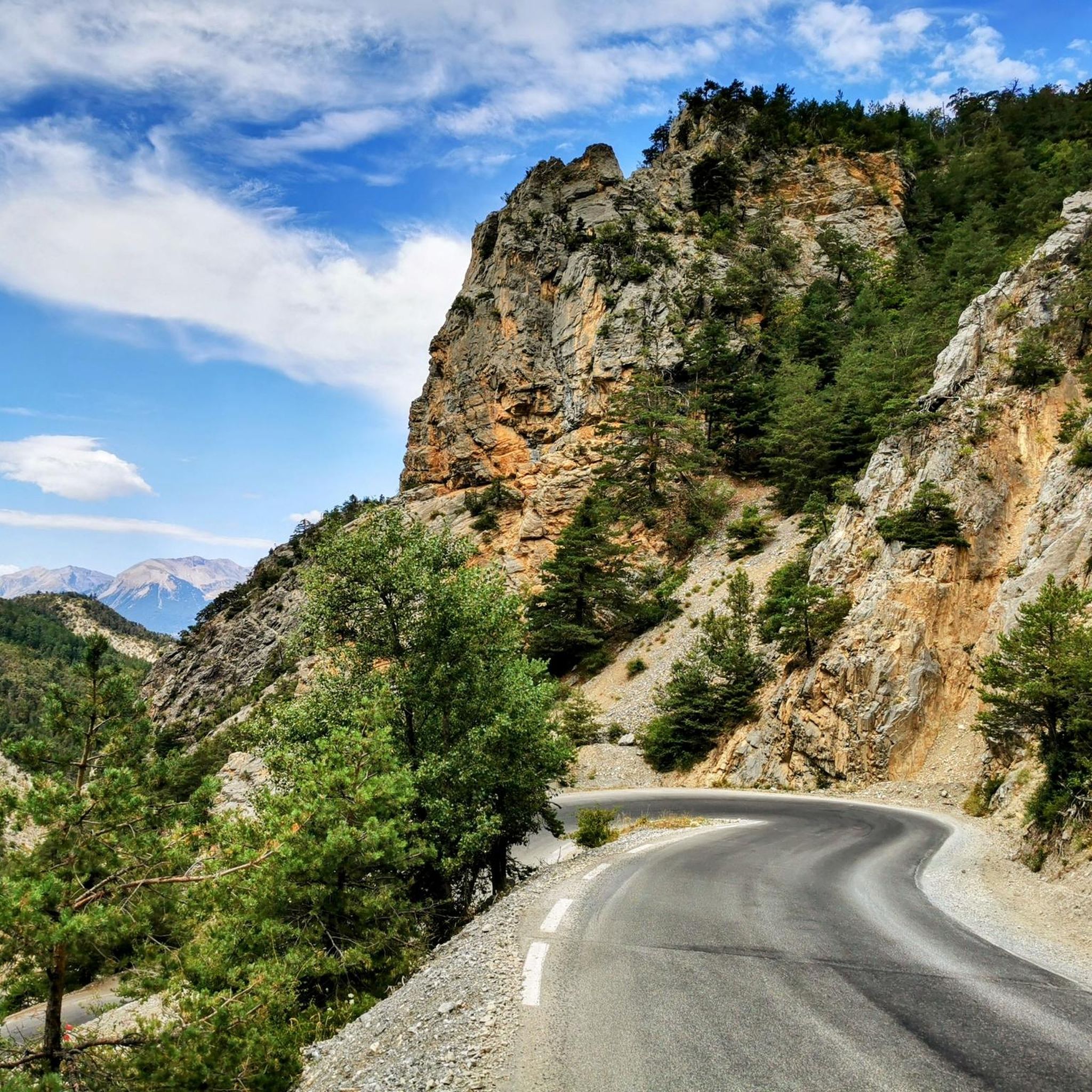
Cycling around Guillestre
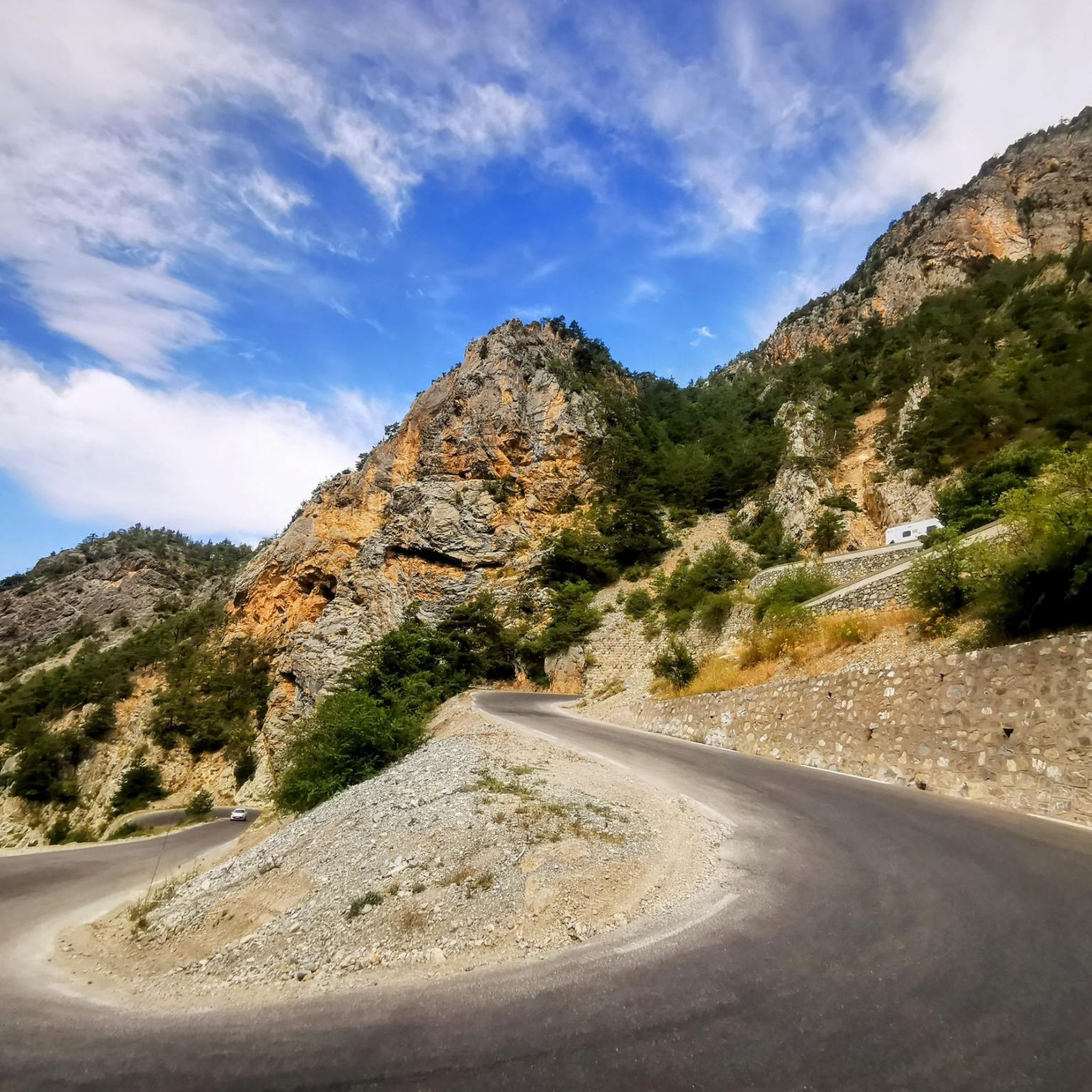
Running Trails around Guillestre

Gravel biking around Guillestre
Mountain Hikes around Guillestre
Other adventures around Guillestre


Tips from the Community

beautiful walk in a shaded valley. To do in summer when it's hot
0
0

Hike done over 2 days with a 5 year old child and night at the Furfande refuge. Very beautiful view from the pass.
0
0

@Chloé Perceval - the view is very beautiful indeed, but it is not on the Ubaye valley
0
0

It reaches above 2000 m. Views are wonderful.
20
0
Nice climb. There are some sections with significant slopes, but the view is worth the effort.
18
1

El Col Fromage, at a crossroads of trails, is a strategic location in the Queyras Regional Natural Park. To the right of Col Fromage is an old military refuge that offers an interesting stop when it is very hot or very cold. This route is very popular with mountain bikers, it allows you to easily change valleys (go from Château-Queyras to Ceillac), with scenery, without too much difficulty. The most experienced will climb to Col des Estronques via the Travesía.
0
0

Nestled at an altitude of 2,301 meters, Col Fromage is an emblematic passage in Queyras. Located between the Bramousse and Estonques passes, it offers incredible views of the valley. Enjoy the show!
0
0
The Furfande Pass offers spectacular views. The horizon opens onto the Arvieux valley, the Izoard pass, the Arpelin and the Lasseron. We can also see the Côte Belle crest while in the foreground the Plate crest is peeking out.
0
1
Frequently Asked Questions
Which mountain passes near Guillestre are most popular with visitors?
Among the most popular mountain passes around Guillestre, visitors frequently highlight Col de Vars, known for its historical significance in the Tour de France and its connection between the Ubaye valley and the Embrunais. Another favorite is Col de Furfande, offering superb panoramas of the Dent du Ratier and Font Sancte ridges. Fromage Pass also attracts many for its unobstructed views of the Cristillan valley.
What are the best mountain passes for cycling near Guillestre?
The region around Guillestre is a cyclist's paradise. Legendary passes like the Col de l'Izoard, with its unique Casse Déserte landscape, and the Col du Galibier, famous for its challenging climbs and panoramic views of the Écrins massif, are iconic stages of the Tour de France. The Col de Vars is also a classic cycling route, having been crossed 35 times in the Tour de France since 1947. For those seeking the highest challenge, the Col de la Bonnette is the highest paved road in Europe.
Are there any mountain passes near Guillestre that are open year-round?
Yes, the Col du Lautaret, at 2,058 meters, is one of the few French Alpine passes that remains open in winter. It's known for its historical significance as an ancient trade route and offers stunning views, particularly towards La Meije, making it accessible for visitors throughout the year.
What kind of views can I expect from the mountain passes around Guillestre?
The mountain passes near Guillestre offer breathtaking and diverse views. From Col de Furfande, you can see the Arvieux valley, the Izoard pass, and the Côte Belle crest. Col Tronchet provides superb views over the Ubaye valley, just below the peak of Rochebrune. The Col du Galibier offers spectacular 360-degree views over the Écrins massif, La Meije, and the Vanoise range, while the Col de l'Izoard is famous for its stark, moon-like Casse Déserte landscape.
Are there any cafes or refuges at the top of these mountain passes?
Yes, some passes offer amenities. For instance, at the top of Col de Vars, you can find a good cafe. After ascending to Col de Furfande, you'll find the Refugio de Furfande nearby, offering cool drinks and snacks.
What outdoor activities can I do near the mountain passes around Guillestre?
Beyond exploring the passes themselves, the region offers a variety of outdoor activities. You can find numerous running trails around Guillestre, including moderate to difficult loops. For cyclists, there are extensive gravel biking routes and challenging road cycling routes, such as the Loop 3: Col de l'Izoard via Case Déserte.
Which mountain passes are known for their historical significance in cycling?
Several passes near Guillestre are legendary in the world of cycling. The Col de Vars has been crossed 35 times in the Tour de France since 1947. The Col de l'Izoard is a mythical stage on the Route des Grandes Alpes, and the Col du Galibier, opened in 1876, is a regular and often decisive stage in the Tour de France. Col Agnel also holds significance as a high mountain pass featured in the Tour de France.
What is the highest mountain pass near Guillestre?
While slightly further afield, the Col de la Bonnette is considered the highest road in Europe, reaching an impressive 2,802 meters. It offers an exceptional high-altitude experience and connects the Vallée de la Durance and the Vallée de l'Ubaye.
Are there any mountain passes that mark a border between countries?
Yes, Col Agnel, at an elevation of 2,744 meters, marks the border between France and Italy, connecting the Queyras region with Valle Varaita. It offers stunning, wild mountain scenery and a unique cross-border experience.
What is the best time of year to visit the mountain passes around Guillestre?
The best time to visit most mountain passes around Guillestre for cycling, hiking, and scenic drives is typically from late spring to early autumn (June to September) when the passes are clear of snow and weather conditions are most favorable. However, the Col du Lautaret is notable for being accessible year-round.
What makes the Col de l'Izoard unique?
The Col de l'Izoard is renowned for its unique and stark 'Casse Déserte' landscape on its southern approach, which features unusual geological formations resembling a moonscape. This, combined with its legendary status in the Tour de France and its challenging climb, makes it a truly distinctive and memorable pass to visit.
Most popular routes around Guillestre
Most popular attractions around Guillestre

Get inspired with the komoot mobile app


Explore more
See even more epic mountain passes by checking out these guides around Guillestre:
