The best cycling routes around Ruy-Montceau
4.4
(179)
1,695
riders
309
rides
Touring cycling routes around Ruy-Montceau are set within a hilly and wooded landscape, with altitudes ranging from 244m to 505m. The region features natural water bodies such as the Étang de la Rosière and Étang des Fèves, enhancing the scenic appeal of the routes. Its location in the Isère department provides access to broader cycling networks like the ViaRhôna, offering diverse landscapes along the Rhône River. The terrain offers a mix of ascents and descents, providing a dynamic riding experience.
…Last updated: July 1, 2026
5
riders
30.3km
02:36
570m
570m
Hard bike ride. Very good fitness required. Mostly paved surfaces. Suitable for all skill levels.
5.0
(1)
16
riders
29.2km
02:33
520m
520m
Hard bike ride. Very good fitness required. Mostly paved surfaces. Suitable for all skill levels.

Sign up for free
4.0
(1)
3
riders
16.6km
01:06
230m
230m
Moderate bike ride. Good fitness required. Mostly paved surfaces. Suitable for all skill levels.
3
riders
33.9km
02:10
370m
370m
Moderate bike ride. Good fitness required. Mostly paved surfaces. Suitable for all skill levels.
7
riders
21.2km
01:39
270m
270m
Moderate bike ride. Good fitness required. Mostly paved surfaces. Suitable for all skill levels.
Get access to more routes and recommendations from other explorers.
Sign up for free
Already have an account?
Our route recommendations are based on thousands of hikes, rides, and runs completed by other people on komoot.
Start today with a free account
Your next adventure awaits.
Login or Signup
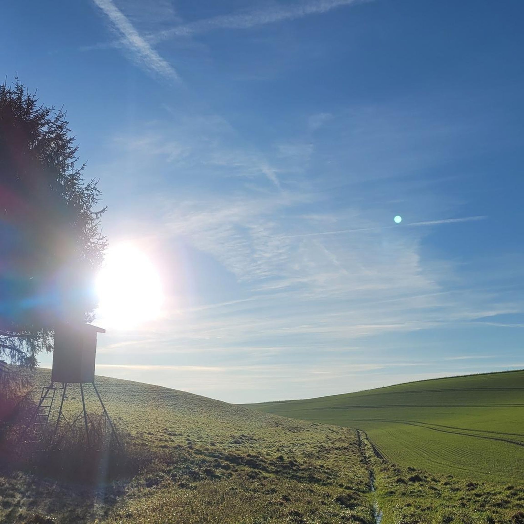
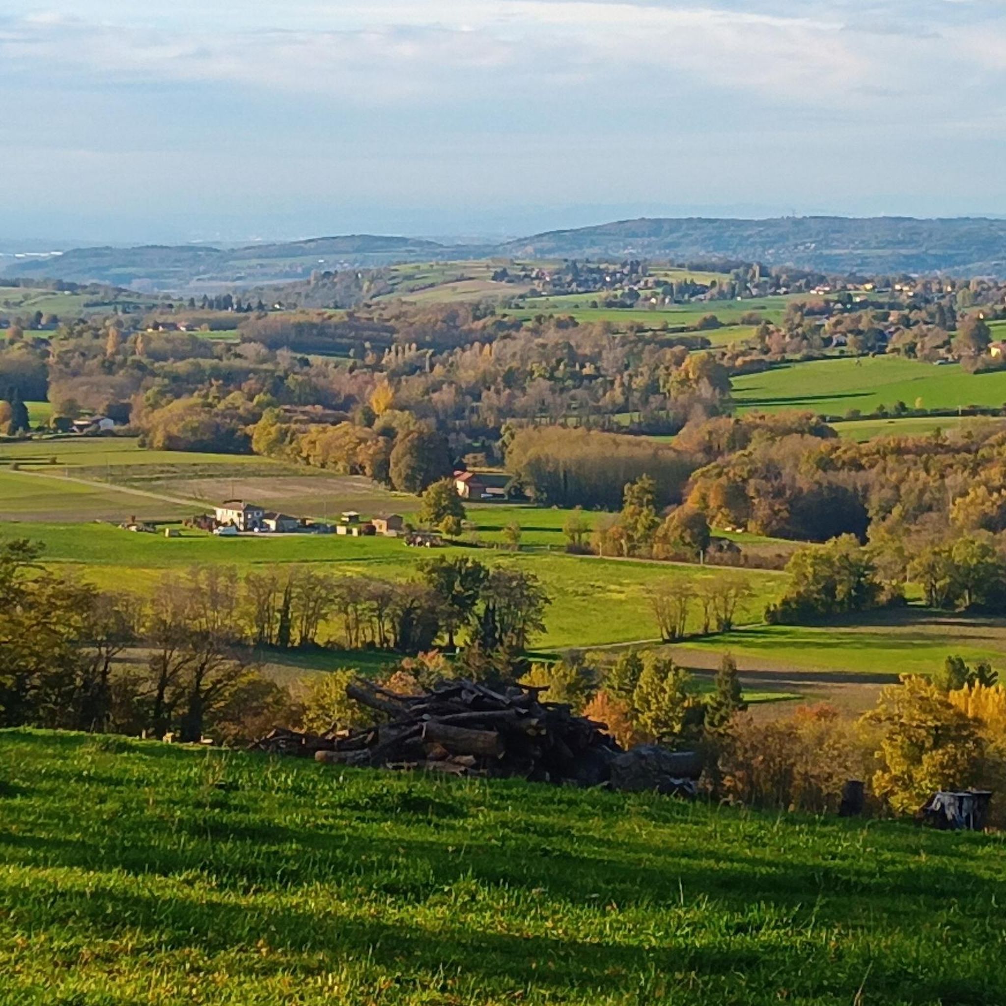
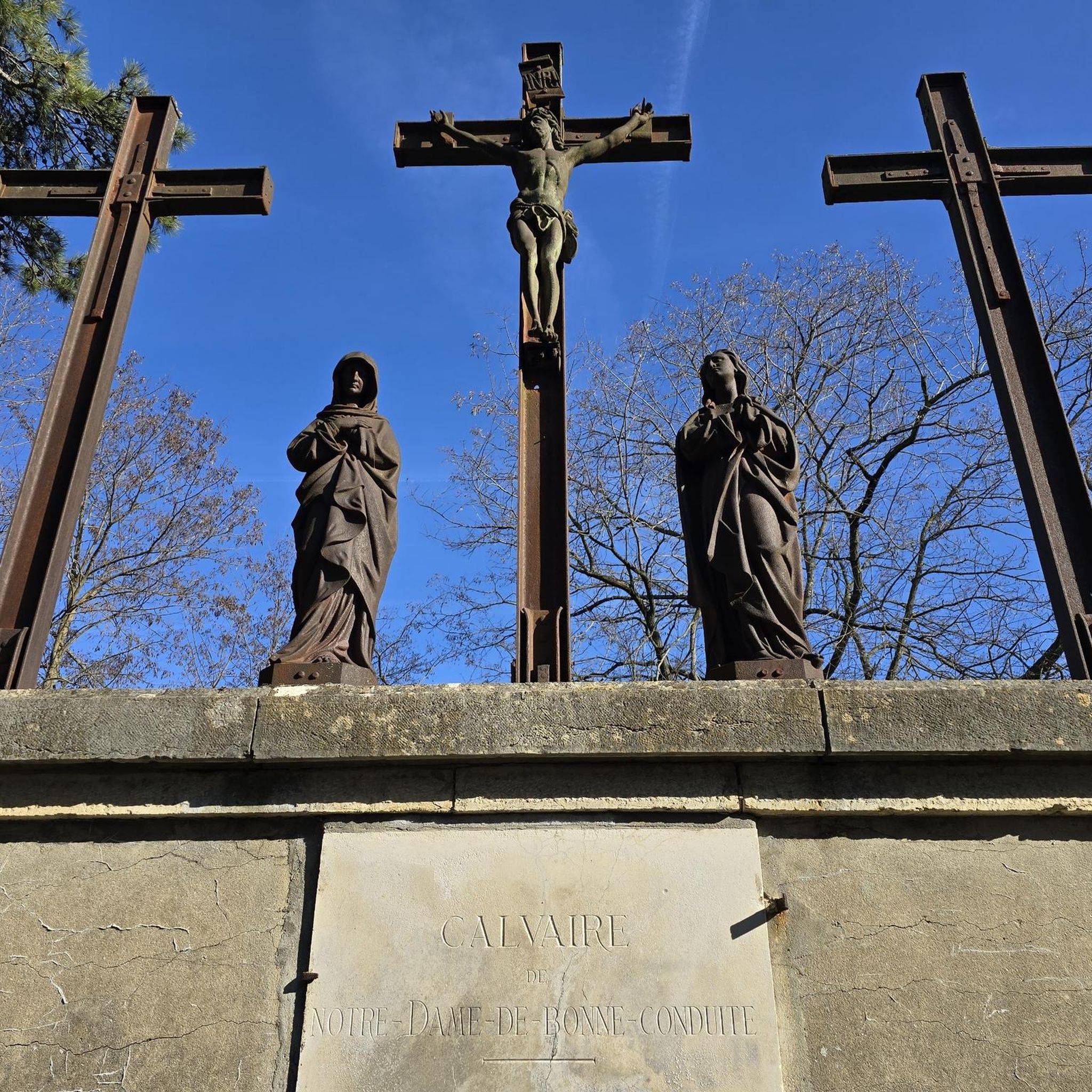


Tips from the Community

Lovely view of the pond. A little cool spot when it's hot.
0
0

2 water points with tables and benches in the shade, close to the cycle paths.
0
0

Going on Gravel without putting your hand down to help yourself against the wall is a challenge 👌the lack of light makes it unsettling to keep the handlebars straight 😅
1
0
Magnificent single track in the undergrowth
0
0

Rosière Pond NATURAL HERITAGE Rosière Pond BACK TO THE LIST Rosière Pond© Martial-Couderette The Rosière pond is located to the north-east of the town of Bourgoin-Jallieu on the edge of the town of Ruy-Montceau and offers an ideal relaxing setting. The association “Les Amis de Rosière et de la Nature” manages the pond made available by the city. The Rosière pond, fed by the Loudon stream, was built in the 18th century to power a hemp mill (the current restaurant). This pond was the property of the GENIN family for a long time before being bought by the town of Bourgoin-Jallieu in 1978. Since then, the town of Bourgoin-Jallieu has done everything possible to make this site a protected natural place, walks and hikes and a fishing spot. Many hiking trails start from the pond. Source: Isère Tourism
1
0

left a little too late to see the sunrise on the heights of Plan Bourgoin
1
0

I've done Rosière several times never seen that there was a bikepark part thanks for sharing 👍
2
0
Frequently Asked Questions
How many touring cycling routes are available in Ruy-Montceau?
There are over 300 touring cycling routes around Ruy-Montceau, offering a wide variety of options for different skill levels and preferences. You'll find everything from easy greenway paths to more challenging routes with significant elevation.
Are there easy touring cycling routes suitable for beginners or families in Ruy-Montceau?
Yes, Ruy-Montceau offers several easy touring cycling routes perfect for beginners or families. For example, the Bourbre Greenway – Maison–Saint-Savin–Maison loop from Ruy is an easy 17.9 km trail that follows a greenway with gentle elevation changes, making it very accessible.
What kind of terrain can I expect on touring cycling routes around Ruy-Montceau?
The touring cycling routes around Ruy-Montceau are characterized by a hilly and wooded landscape, with altitudes ranging from 244m to 505m. This varied topography provides scenic backdrops and engaging terrain, offering a mix of ascents and descents for a dynamic riding experience.
Are there any circular touring cycling routes in the area?
Yes, many touring cycling routes in Ruy-Montceau are designed as loops. For instance, the Maison–Saint-Savin–Maison – Montbernier Fretignieu loop from Bourgoin-Jallieu is a popular 18.2 km trail that leads through varied terrain and is often completed in about 1 hour 11 minutes.
What are some scenic viewpoints or natural features to look out for on the routes?
Ruy-Montceau's routes often feature natural water bodies like the Étang de la Rosière and the Étang des Fèves, which enhance the scenic appeal. The hilly terrain also provides rewarding views from elevated points, showcasing the wooded landscape of the Isère department.
Are there any challenging routes for experienced touring cyclists?
Absolutely. For experienced touring cyclists seeking a challenge, routes like the Étang de Ravoux loop from Nivolas-Vermelle offer significant elevation gain over its 32.5 km distance, providing a demanding yet rewarding experience.
What historical landmarks can I see along the touring cycling routes?
Touring cyclists can encounter significant historical sites. While cycling, you might pass by the exteriors of 19th-century châteaux such as Château de Theyzieu, Château de Montceau, and Château de Petit-Mont. You can also visit religious heritage sites like the Chapelle Sainte-Anne or the Saint Joseph Chapel.
What do other touring cyclists enjoy most about cycling in Ruy-Montceau?
The touring cycling routes in Ruy-Montceau are highly rated by the komoot community, with an average score of 4.4 stars from over 195 reviews. Cyclists often praise the diverse terrain, from easy greenways to challenging climbs, and the beautiful natural scenery, including the serene ponds and wooded areas.
Is Ruy-Montceau connected to any larger cycling networks?
Yes, Ruy-Montceau's strategic location in the Isère department places it within reach of established cycling networks. It is part of the extensive ViaRhôna network, which stretches from Lake Geneva to the Mediterranean Sea. A gravel section of the ViaRhôna, between Groslée and La Balme, is geographically relevant and offers diverse landscapes along the Rhône River. You can explore the ViaRhôna Gravel Section Between Groslée and La Balme.
Are there any routes that pass by lakes or ponds?
Yes, several routes incorporate the region's natural water bodies. For example, the Le Lac Clair – Étang Dardes loop from Bourgoin-Jallieu is a moderate 21.2 km route that takes you past these scenic spots, offering beautiful waterside views.
What is the best time of year for touring cycling in Ruy-Montceau?
The region generally offers pleasant cycling conditions from spring through autumn. Spring brings blooming landscapes, while autumn provides vibrant colors. Summer is also suitable, but it's advisable to start earlier in the day to avoid the midday heat, especially on longer routes with significant climbs.
Most popular routes around Ruy-Montceau
Most popular attractions around Ruy-Montceau

Get inspired with the komoot mobile app


Explore more
Browse the best Cycling routes in other regions.
