The best walks and hikes around Saint-Laurent-Du-Pont
4.5
(1741)
16,178
hikers
28
hikes
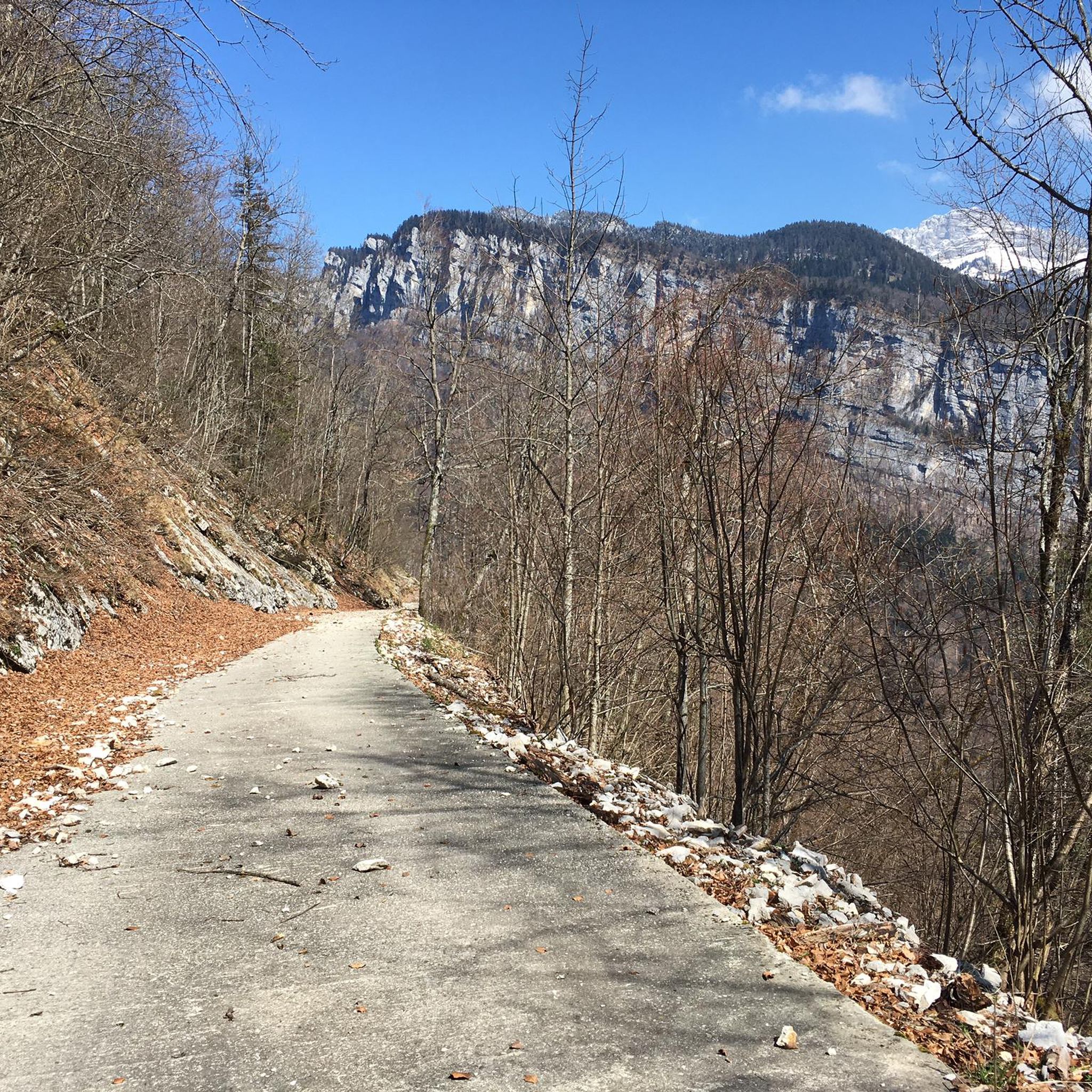
Hiking around Saint-Laurent-Du-Pont offers access to the diverse landscapes of the Chartreuse mountains in southeastern France. The region features deep forests, narrow gorges carved by the Guiers Mort river, and impressive cliffs. Hikers can explore a variety of terrains, from valley paths to panoramic summits and ridges.
Best hiking trails around Saint-Laurent-Du-Pont
- The most popular hiking route is Col de la Sure – La Grande Sure loop from Chartreuse de Currière, a 10.5 miles (17.0 km) trail that takes…
Last updated: October 12, 2026
4.9
(7)
102
hikers
17.0km
06:35
1,020m
1,020m
Hard hike. Very good fitness required. Sure-footedness, sturdy shoes and alpine experience required.
5.0
(2)
69
hikers
3.40km
00:52
10m
10m
Easy hike. Great for any fitness level. Easily-accessible paths. Suitable for all skill levels.

4.5
(6)
34
hikers
Hard hike. Good fitness required. Sure-footedness, sturdy shoes and alpine experience required.
5.0
(2)
21
hikers
18.0km
07:01
1,050m
1,050m
Hard hike. Very good fitness required. Mostly accessible paths. Sure-footedness required.
17
hikers
2.87km
01:22
160m
160m
Hard hike. Great for any fitness level. Sure-footedness, sturdy shoes and alpine experience required.
Get access to more routes and recommendations from other explorers.
Already have an account?
Our route recommendations are based on thousands of hikes, rides, and runs completed by other people on komoot.
Start today with a free account
Your next adventure awaits.

Tips from the Community


In the middle of the mountain dogs and herds in summer
0
0
Exceptional panoramic view of the Chartreuse, Voiron and Mont Blanc.
0
0

The approach from the south is very nice, the descent to the north via the forest road is not allowed, but with great caution and pushing in tunnels possible
0
0

Observation May 2025: landslide on the road at the exit (uphill direction) of the tunnel. Passable on foot
1
0

Very beautiful summit with a 360 degree panorama.
0
0

Nice, pleasant, bucolic walk
0
0

Lots of fallen trees on the path, sometimes difficult crossing
1
0
Frequently Asked Questions
How many hiking trails are available around Saint-Laurent-Du-Pont?
There are 19 hiking trails around Saint-Laurent-Du-Pont, offering a diverse range of experiences. These include 3 easy routes, 5 moderate, and 11 difficult trails, catering to various fitness levels.
Are there any easy hikes suitable for families or beginners?
Yes, Saint-Laurent-Du-Pont offers several easy hikes. A great option is the Ornithological Observatory loop from Saint-Laurent-du-Pont, an easy 3.4 km path that provides a gentle walk, suitable for observing local wildlife and enjoying nature without strenuous climbs.
What kind of natural attractions can I see while hiking in the region?
The region is rich in natural beauty. You can discover impressive cliffs and rock formations like the Fétrus rocks and the Pas de Pertuis. A must-see natural site is the Saint-Même Cirque Waterfalls, featuring four waterfalls. Panoramic summits such as the Grande Sure offer breathtaking views, including Mont Blanc on clear days.
Are there any circular hiking routes in Saint-Laurent-Du-Pont?
Yes, many trails in the area are circular. For a challenging experience, consider the Col de la Sure – La Grande Sure loop from Chartreuse de Currière. A moderate option is the Hiking loop from Chartreuse de Currière, which is 6.2 km long.
What do other hikers say about the trails in Saint-Laurent-Du-Pont?
The trails around Saint-Laurent-Du-Pont are highly rated by the komoot community, with an average score of 4.6 stars from over 1500 reviews. Hikers often praise the diverse landscapes, from deep forests to panoramic mountain views, and the variety of routes available for different skill levels.
Are there any hikes that offer views of the Grande Chartreuse monastery?
While the Grande Chartreuse monastery itself is not directly accessible on most hiking trails due to its secluded nature, certain high points in the Chartreuse mountains, such as the Aliénard summit, may offer distant views of the famous monastery.
Can I find trails that pass by mountain passes?
Absolutely. The region is known for its mountain passes. You can explore routes that lead to or near passes like Charmette Pass, Col de Porte (1326 m), or Col du Cucheron, offering scenic views and challenging ascents.
Are there any trails suitable for wildlife spotting?
Yes, the natural environment of Saint-Laurent-Du-Pont, particularly its forests and wetlands, provides opportunities for wildlife observation. The Ornithological Observatory loop from Saint-Laurent-du-Pont is specifically designed for observing local birds and other wildlife in a tranquil setting.
What is the best time of year to go hiking in Saint-Laurent-Du-Pont?
The best time to hike in Saint-Laurent-Du-Pont is generally from spring to autumn (May to October) when the weather is milder and trails are clear of snow. Summer offers lush greenery and warmer temperatures, while autumn provides stunning fall foliage. Higher altitude trails may still have snow in early spring or late autumn.
Are there any challenging hikes for experienced trekkers?
Experienced trekkers will find plenty of challenging options. The Col de la Charmette – Charmette Pass loop from Chartreuse de Currière is a difficult 17.9 km route with significant elevation gain, offering a rewarding experience through the Chartreuse mountains.
Can I find trails that follow rivers or streams?
Yes, the Guiers Mort river carves through the landscape, offering picturesque riverside walks. The 'Around the Guiers Mort' trail provides a short hike primarily through undergrowth along the stream, allowing you to enjoy the tranquil sounds of the water.
Are there any specific viewpoints worth seeking out on a hike?
The region boasts several impressive viewpoints. The Grande Sure summit offers a 360-degree panorama. Other notable viewpoints include the Arpison viewpoint, often accessible from the Pas de Pertuis hike, and the Belvédère de Nonne, situated at an altitude of 1,200m, providing extensive vistas over the Chartreuse landscape.
Most popular routes around Saint-Laurent-Du-Pont
Most popular attractions around Saint-Laurent-Du-Pont

Get inspired with the komoot mobile app


Explore more
Browse the best Hikes in other regions.
