The best walks and hikes around La Buissière
4.5
(1377)
13,563
hikers
353
hikes
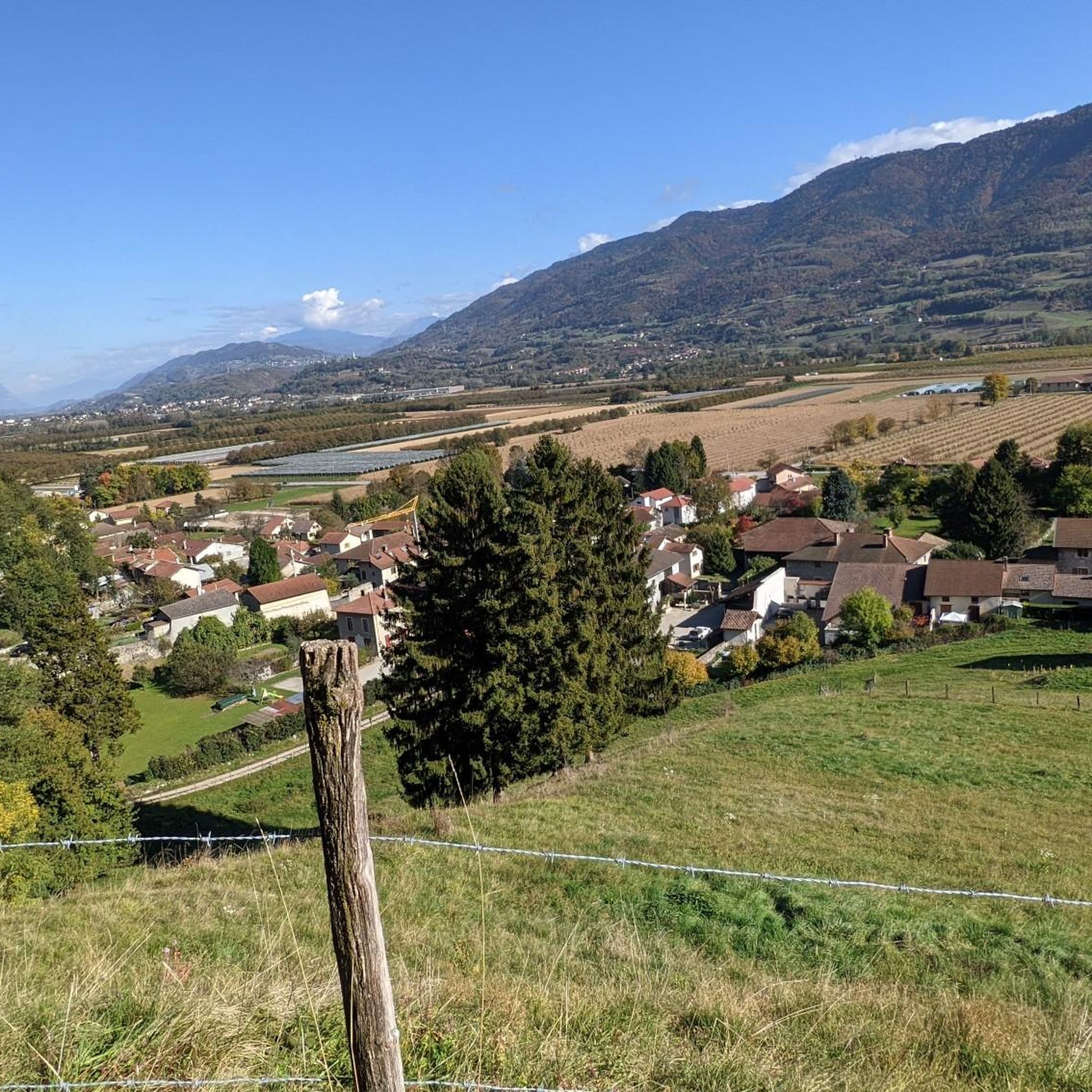
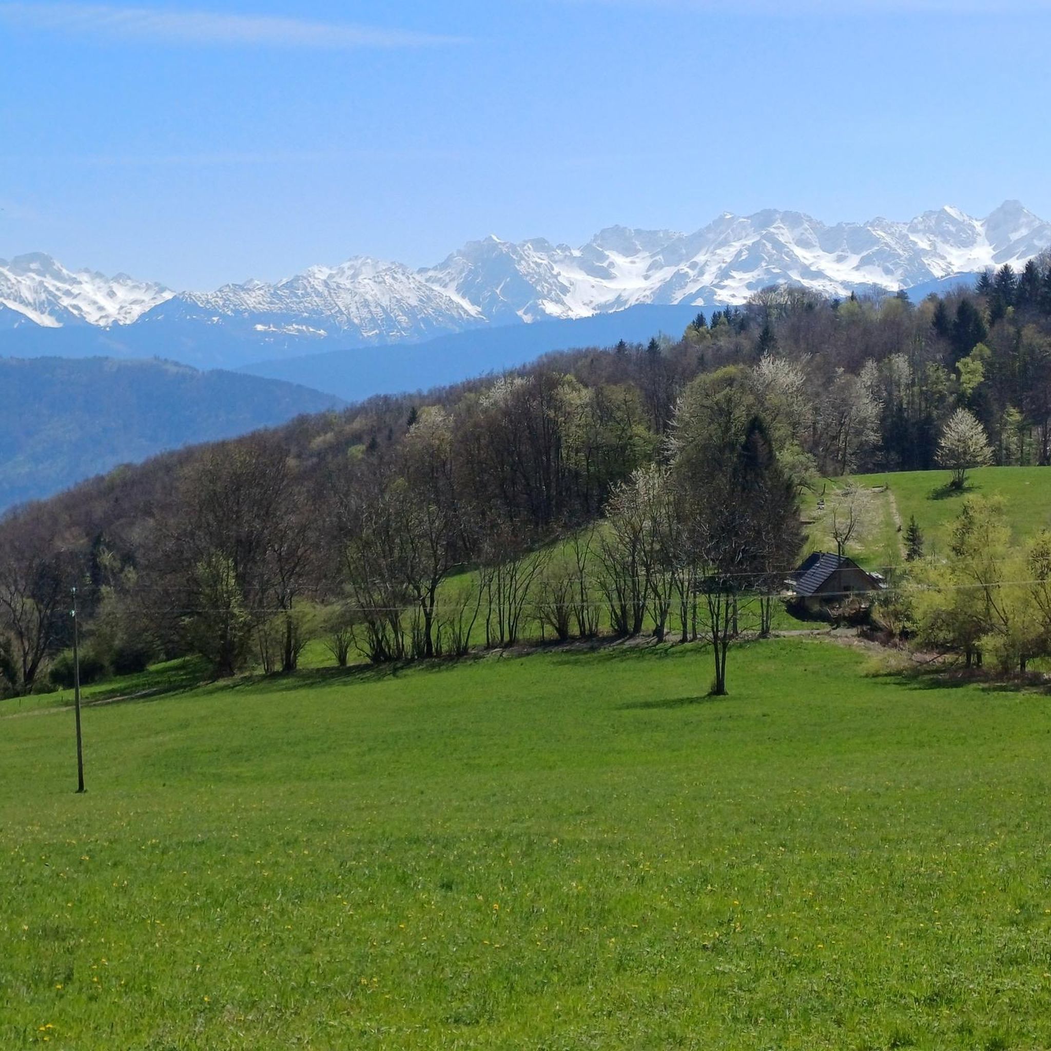
Hiking around La Buissière offers access to the mountainous landscapes of the Auvergne-Rhône-Alpes region in southeastern France. The area is characterized by significant natural sites including Mont Granier and the Gorges de la Bourne, with the Grandes Rousses massif providing a backdrop of forests, waterfalls, alpine meadows, and lakes. Trails navigate diverse alpine terrain, from dry rock paths to softer grassy routes, with changing views of surrounding peaks. The region provides opportunities to explore high-altitude plateaus and panoramic viewpoints.
Best…
Last updated: July 1, 2026
3.7
(6)
28
hikers
4.26km
02:01
340m
340m
Moderate hike. Good fitness required. Mostly accessible paths. Sure-footedness required.
4.0
(3)
13
hikers
10.0km
03:34
440m
440m
Moderate hike. Good fitness required. Mostly accessible paths. Sure-footedness required.

Sign up for free
9
hikers
6.35km
03:00
570m
580m
Hard hike. Good fitness required. Sure-footedness, sturdy shoes and alpine experience required.
15
hikers
3.52km
00:53
0m
0m
Easy hike. Great for any fitness level. Easily-accessible paths. Suitable for all skill levels.
4.5
(2)
9
hikers
2.82km
01:42
310m
310m
Hard hike. Good fitness required. Sure-footedness, sturdy shoes and alpine experience required.
Get access to more routes and recommendations from other explorers.
Sign up for free
Already have an account?
Our route recommendations are based on thousands of hikes, rides, and runs completed by other people on komoot.
Start today with a free account
Your next adventure awaits.
Login or Signup

Tips from the Community

In winter, the Furet stream freezes completely, transforming the waterfall into a stunning icefall. The streambed is made of large blocks of white rock, and the ice blends with the rock to create a brilliant white mantle.
0
0
This pretty castle is now a venue dedicated to events, seminars, weddings, etc.
0
0
It's a very small church, the ideal is to come there on foot
0
0
It's a very small village, next to St Vincent de Mercuse. I didn't see a fountain.
0
0
not worth the detour, if you are going around the Alloix waterfalls via the Chemin des Anciens
0
0
The hiking trail along the stream is not in very good condition. Falling rocks and trees obstruct the path. Progress is sometimes tricky. I recommend reaching the large waterfall via the northernmost path, and then turning around.
0
0

It is a superb waterfall! The detour is worth it when you are on the GR 965.
1
0
Frequently Asked Questions
How many hiking trails are available around La Buissière?
There are over 330 hiking trails around La Buissière, offering a wide range of options for all skill levels. You can find everything from easy strolls to more challenging alpine ascents.
What kind of terrain can I expect on hikes near La Buissière?
Hikes near La Buissière are characterized by diverse alpine terrain. You'll encounter everything from dry rock paths to soft grassy routes, with trails winding through forests, past waterfalls, and across alpine meadows. The region is part of the Auvergne-Rhône-Alpes, offering mountainous landscapes and changing views of surrounding peaks.
Are there any easy hiking trails suitable for beginners or families?
Yes, La Buissière offers a good selection of easier trails. There are 76 easy routes available, perfect for beginners or families looking for a relaxed outdoor experience. These trails often provide gentle gradients and scenic views without demanding significant effort.
Can I find challenging hikes around La Buissière?
Absolutely. For experienced hikers seeking a challenge, there are 90 difficult routes around La Buissière. These trails often feature significant elevation gains and more rugged terrain, providing rewarding views and a true alpine experience. An example of a challenging route is the Barraux – Barraux church loop from Barraux, which includes substantial elevation gain.
Are there any waterfalls I can visit on a hike?
Yes, waterfalls are a prominent feature of the La Buissière hiking experience. You can explore routes like the Barraux – Furet Waterfall loop from Barraux or the Enversin Waterfall – Montalieu Village loop from La Flachère. Additionally, the area boasts several notable waterfalls such as the Saint-Même Cirque Waterfalls and the Gouille Waterfall.
What are some notable natural features or viewpoints to look out for?
La Buissière is surrounded by significant natural sites. You'll find stunning views of Mont Granier and the Gorges de la Bourne. The Grandes Rousses massif offers a backdrop of forests, alpine meadows, and lakes. For panoramic vistas, consider exploring routes that lead to higher elevations, where you can often see surrounding peaks. The area also features several mountain passes like Granier Pass and Bellefont Pass.
Are there circular hiking routes available?
Yes, many of the trails around La Buissière are designed as circular routes, allowing you to start and end your hike at the same point. Examples include the Barraux – Furet Waterfall loop from Barraux and the Enversin Waterfall – Montalieu Village loop from La Flachère, providing convenient options for exploration.
What do other hikers say about the trails in La Buissière?
The hiking trails in La Buissière are highly rated by the komoot community, with an average score of 4.5 stars from over 1300 reviews. Hikers often praise the diverse alpine terrain, the stunning views of surrounding peaks, and the presence of beautiful waterfalls along the routes.
What is the best time of year to go hiking in La Buissière?
The best time for hiking in La Buissière is generally from spring through autumn, when the alpine meadows are vibrant and the weather is most favorable. Summer also offers access to higher altitudes via gondolas. While winter hiking is possible, it requires appropriate gear and awareness of snow conditions, as the region is mountainous.
Are there opportunities for overnight stays in nature?
Yes, the mountainous region around La Buissière, particularly in the Auvergne-Rhône-Alpes, offers opportunities for overnight stays in refuges. These mountain huts provide a unique way to experience the heart of nature and extend your hiking adventures over multiple days.
Are there any dog-friendly trails in La Buissière?
While specific regulations for dogs on every trail are not detailed, many natural areas in France are generally dog-friendly, especially on leash. Given the abundance of natural trails and forests, you'll likely find many suitable options for hiking with your dog. Always ensure your dog is under control and respect local signage.
Where can I find parking for hiking trails in La Buissière?
Many trailheads in and around La Buissière, especially those starting from villages like Barraux or La Flachère, typically offer designated parking areas for hikers. It's advisable to check specific route details on komoot for information on parking availability at your chosen starting point.
Most popular routes around La Buissière
Most popular attractions around La Buissière

Get inspired with the komoot mobile app


Explore more
Browse the best Hikes in other regions.
