
The best running trails around Uttenheim
4.3
(168)
10,414
runners
350
runs
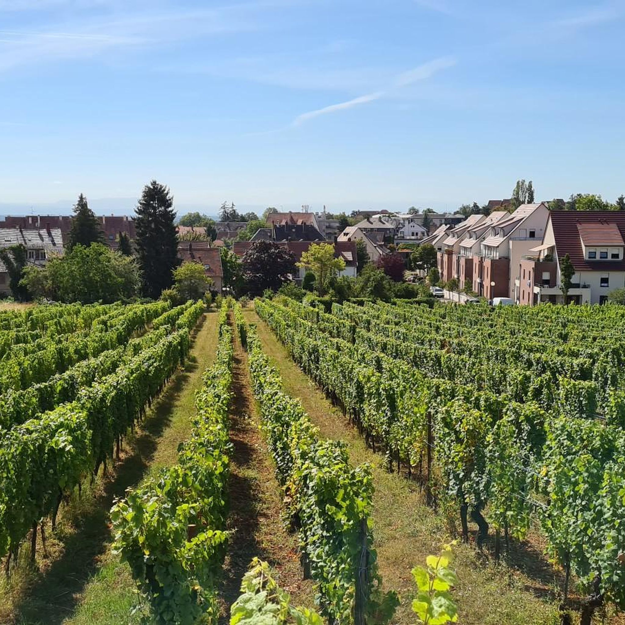
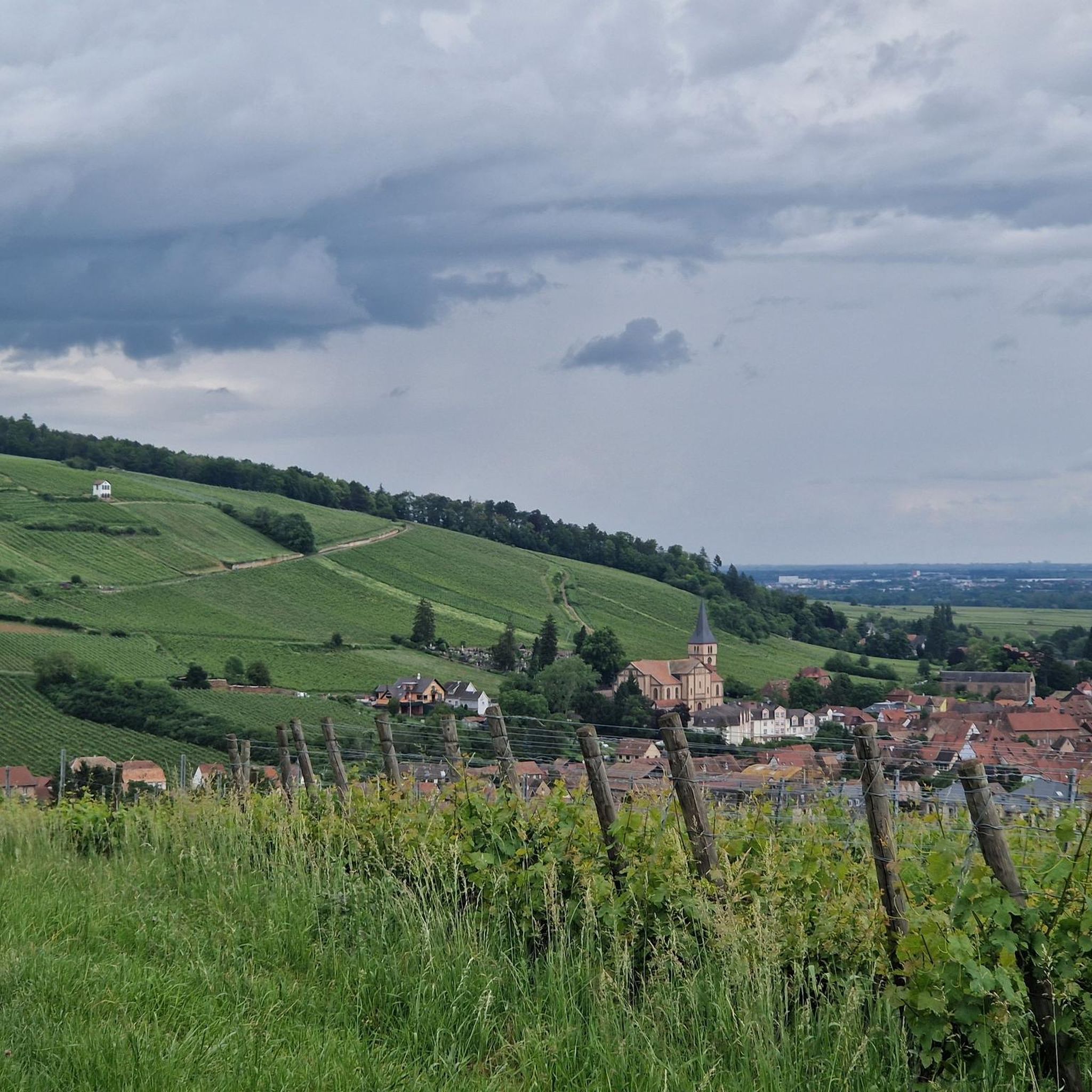
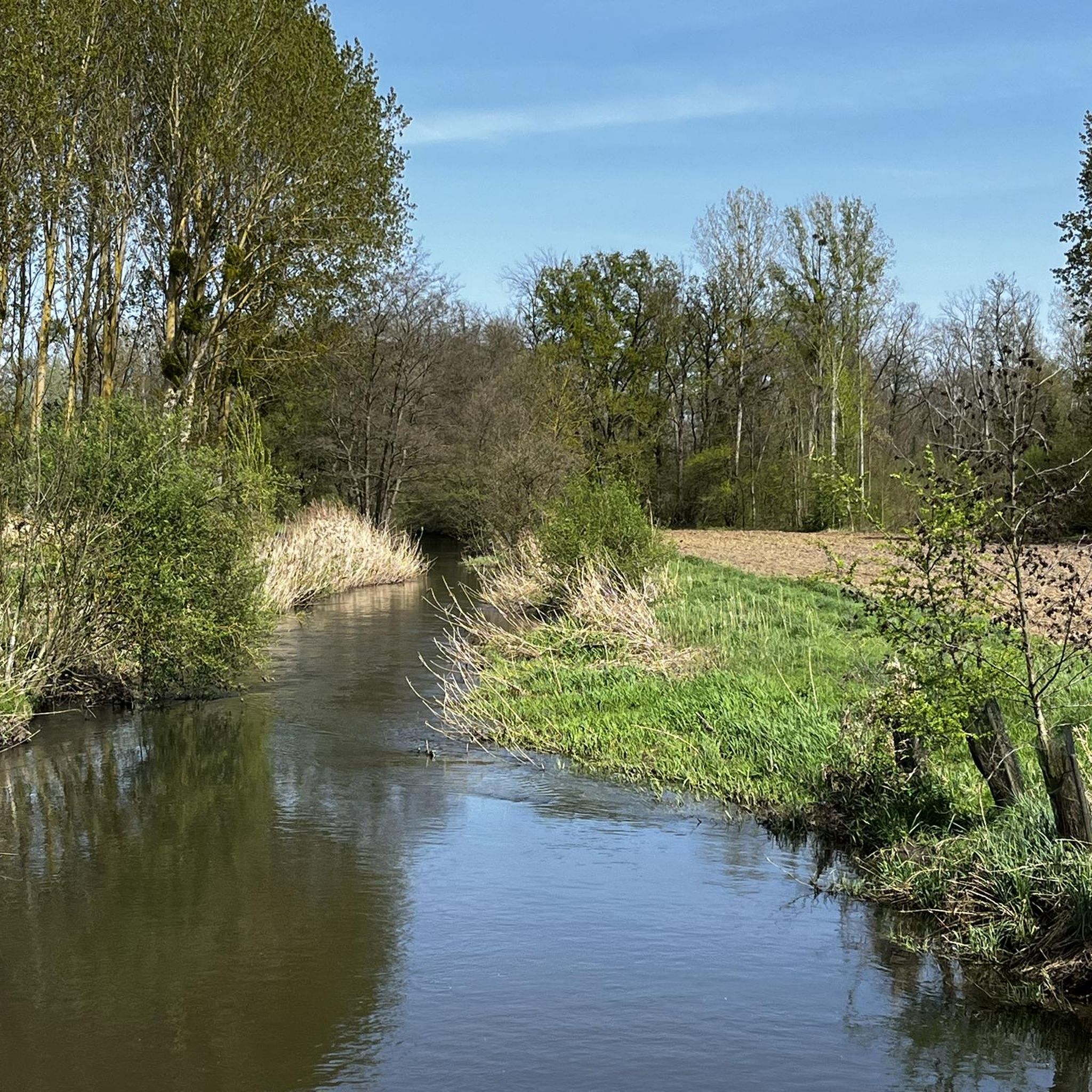
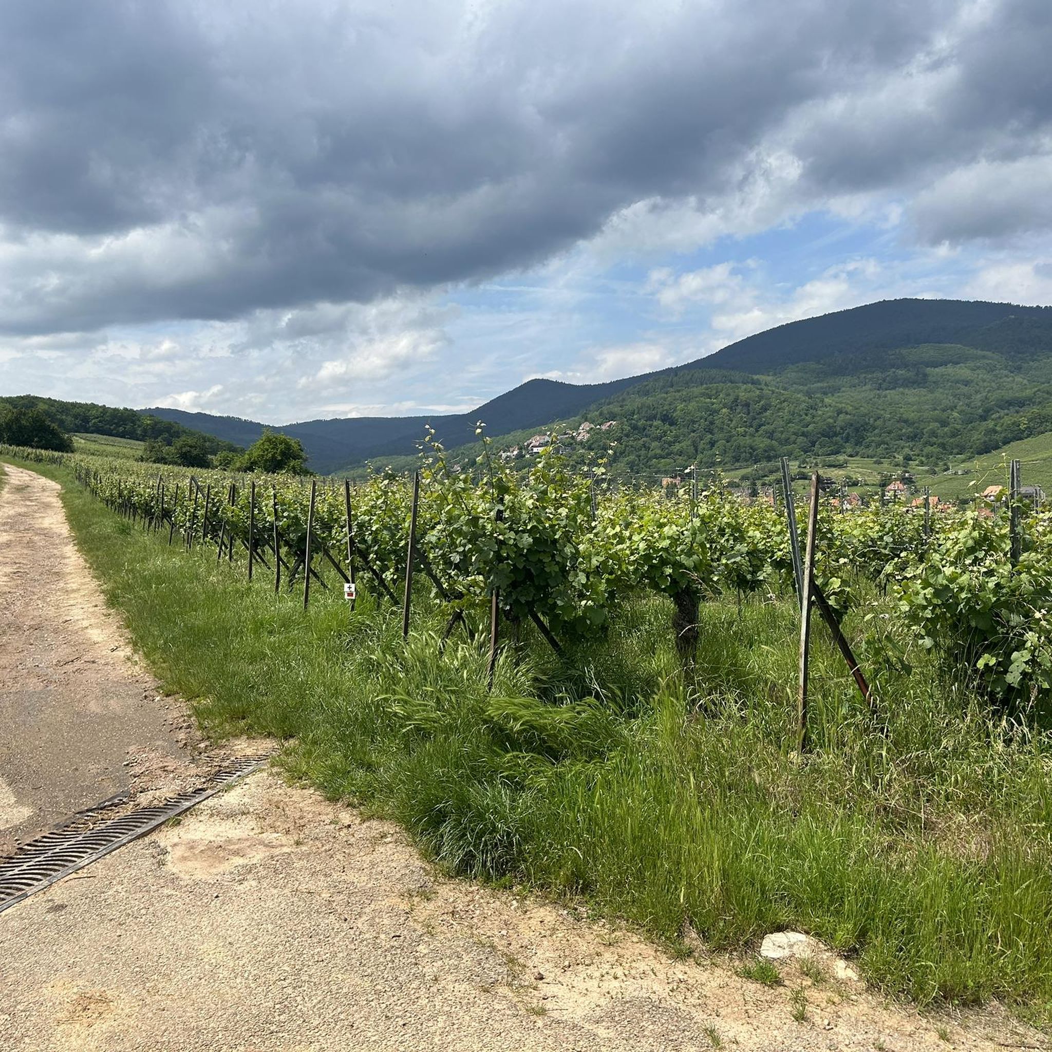
Jogging around Uttenheim, a village in South Tyrol, offers diverse terrain for runners. Situated at 837 meters above sea level, the region features expansive fields, manicured meadows, and a prominent mountain backdrop. The Ahr River provides idyllic paths along its banks, while well-maintained trails lead through forests and along forest edges, suitable for various fitness levels.
Best jogging routes around Uttenheim
- The most popular jogging route is Running loop from Matzenheim, a 7.3 miles (11.7 km) trail that takes…
Last updated: October 4, 2026
8
runners
12.4km
01:19
20m
20m
Moderate run. Good fitness required. Mostly paved surfaces. Suitable for all skill levels.
6
runners
16.7km
01:43
20m
20m
Hard run. Very good fitness required. Mostly paved surfaces. Suitable for all skill levels.

5
runners
9.52km
01:02
10m
10m
Moderate run. Good fitness required. Mostly paved surfaces. Suitable for all skill levels.
4
runners
6.06km
00:38
10m
10m
Moderate run. Good fitness required. Mostly paved surfaces. Suitable for all skill levels.
5.0
(1)
4
runners
14.8km
01:32
20m
20m
Moderate run. Good fitness required. Mostly paved surfaces. Suitable for all skill levels.
Get access to more routes and recommendations from other explorers.
Already have an account?
Our route recommendations are based on thousands of hikes, rides, and runs completed by other people on komoot.
Start today with a free account
Your next adventure awaits.

Tips from the Community

Frequently Asked Questions
How many running routes are available in Uttenheim?
Uttenheim offers a wide selection of running paths, with over 300 routes available for you to explore. These range from easy, leisurely jogs to more challenging trail runs, catering to all fitness levels.
Are there running trails for all fitness levels in Uttenheim?
Yes, Uttenheim provides a diverse network of running trails suitable for everyone. You'll find approximately 30 easy routes for beginners or casual jogs, over 260 moderate paths for regular runners, and around 30 more difficult trails for those seeking a greater challenge.
What kind of scenery can I expect while jogging in Uttenheim?
Jogging in Uttenheim offers picturesque views of expansive fields, manicured meadows, and a magnificent mountain backdrop. Many paths follow the idyllic Ahr River, winding through untouched nature and protected biotope areas. You might even spot a kingfisher! Historical landmarks like the Uttenheim Castle Ruins also add character to the landscape.
Are there family-friendly running routes in Uttenheim, perhaps suitable for strollers?
Absolutely! The 'Lahne' Recreational Trail is an excellent option for families. It offers mostly flat terrain through forests and along forest edges, with gentle gradients that make it suitable for pushing strollers. This trail also features fitness stations for a varied workout and a Kneipp foot bath for refreshment at the end.
Can I bring my dog on the running trails around Uttenheim?
Many of Uttenheim's outdoor trails are dog-friendly, allowing you to enjoy a run with your canine companion. However, it's always recommended to keep your dog on a leash, especially in protected areas like the 'Ahrauen' (Ahr meadows) biotope, and to be mindful of local regulations and other trail users.
Are there many circular running routes in the Uttenheim area?
Yes, the Uttenheim region features numerous circular running routes, perfect for varied training and exploration. For example, the Running loop from Matzenheim is a popular moderate 7.3-mile (11.7 km) option, offering gentle gradients through open landscapes. Another local favorite is the Running loop from Westhouse, a 5.9-mile (9.5 km) trail through fields and forest edges.
Where can I find parking for the running trails in Uttenheim?
While specific parking areas can vary by trailhead, Uttenheim generally offers convenient parking options for outdoor enthusiasts. Many routes, especially those starting from the village or nearby hamlets, have designated parking spaces. It's advisable to check local signage upon arrival or consult detailed route maps for specific parking information.
How accessible are Uttenheim's running routes by public transport?
Uttenheim is well-integrated into the regional public transport network, making many running routes accessible without a car. The Pusterbike cycling route, which passes through the Tauferer Ahrntal, also offers flat and accessible sections that can be utilized for jogging and are often reachable via public transport stops.
What is the best time of year for running in Uttenheim?
Uttenheim is enjoyable for running year-round, thanks to its clean, fresh air and diverse landscapes. Spring and autumn offer pleasant temperatures and vibrant scenery. Summer provides longer daylight hours, while winter can transform the landscape into a serene, snowy wonderland, though some trails might require appropriate gear or be less accessible.
What do other runners enjoy the most about jogging in Uttenheim?
The running routes in Uttenheim are highly rated by the komoot community, with an average score of 4.4 stars from over 100 reviews. Runners often praise the diverse terrain, from riverbanks along the Ahr to forest paths, all set against a stunning mountain backdrop. The variety of routes, catering to different ability levels, is also frequently highlighted.
Are there any challenging long-distance running options in Uttenheim?
For runners seeking a more strenuous experience, Uttenheim offers several challenging long-distance routes. The Étang loop from Westhouse is a difficult 10.4-mile (16.7 km) path with varied terrain, providing a demanding workout. Another option is the Four de la tuilerie loop from Westhouse, a difficult 15.1-mile (24.3 km) route.
Can I see any waterfalls or natural monuments near the running trails?
While jogging directly on the trails, you'll experience the natural beauty of the Ahr River and its protected biotope. For a more dramatic natural spectacle, the impressive Reinbach Waterfalls are approximately 8 km north of Uttenheim, offering a rewarding destination for a longer run or a scenic detour. You can also explore highlights like the Taubergießen Nature Reserve nearby.
Most popular attractions around Uttenheim

Get inspired with the komoot mobile app


Explore more
Browse the best Running Trails & Routes in other regions.
