The best road cycling routes around Uttenheim
4.5
(411)
9,747
riders
302
rides
Road cycling routes around Uttenheim are situated in South Tyrol, Italy, within the Tauferer Ahrntal (Aurina Valley). This region features wide fields, well-maintained meadows, and a prominent mountain backdrop, including parts of the Dolomites. The village itself is at approximately 840 meters, providing access to both valley routes along the Ahr river and more challenging alpine terrain. The diverse terrain offers options from gentle valley paths to demanding ascents.
Best road cycling routes around Uttenheim
- The most popular road cycling route is Obernai Old Town – Mount Sainte-Odile loop from Matzenheim, a 41.7 miles (67.1 km) trail that takes 3 hours 19 minutes to complete. This moderate route features an ascent of over 2,700 feet.
- Another top favourite among local road cyclists is Andlau – View of Andlau loop from Matzenheim, a moderate 31.3 miles (50.3 km) path. This route offers varied scenic landscapes and takes approximately 2 hours 12 minutes.
- Local road cyclists also love the Heiligenstein – Saint-Nabor Belvedere loop from Matzenheim, a 36.3 miles (58.3 km) trail leading through scenic views, often completed in about 2 hours 31 minutes.
- Road cycling around Uttenheim is defined by valley paths, alpine climbs, and mountain backdrops. The network offers options for various ability levels, from leisurely rides to demanding ascents.
- The routes in Uttenheim are highly rated by the komoot community with an average score of 4.5 stars from over 400 reviews. More than 10,000 road cyclists have used komoot to explore Uttenheim's varied terrain.
Last updated: July 4, 2026
4.2
(13)
44
riders
50.3km
02:12
290m
290m
Moderate road ride. Good fitness required. Mostly well-paved surfaces and easy to ride.
5.0
(1)
39
riders
55.6km
02:45
650m
650m
Moderate road ride. Good fitness required. Some segments of this route may be unpaved and difficult to ride.

Sign up for free
47
riders
60.6km
02:21
70m
70m
Moderate road ride. Good fitness required. Mostly well-paved surfaces and easy to ride.
5.0
(1)
37
riders
58.3km
02:31
320m
320m
Moderate road ride. Good fitness required. Mostly well-paved surfaces and easy to ride.
5.0
(2)
35
riders
62.9km
02:52
580m
580m
Moderate road ride. Good fitness required. Mostly well-paved surfaces and easy to ride.
Get access to more routes and recommendations from other explorers.
Sign up for free
Already have an account?
Our route recommendations are based on thousands of hikes, rides, and runs completed by other people on komoot.
Start today with a free account
Your next adventure awaits.
Login or Signup


Tips from the Community

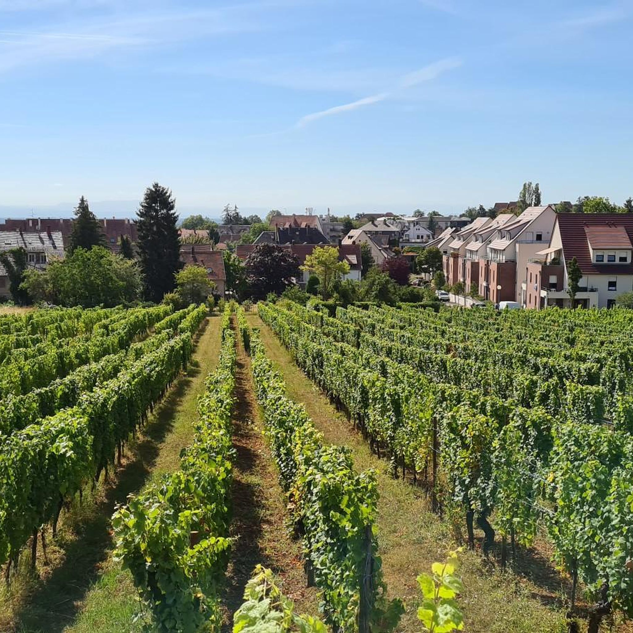
There are freshly squeezed juices, cakes, coffee. Perfect for a short break.
0
0

A place with a very special atmosphere.
0
0

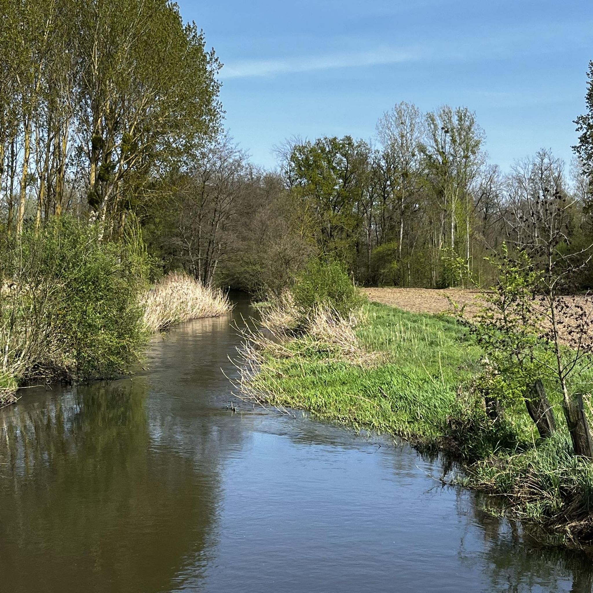
Very nice place with running water
0
0
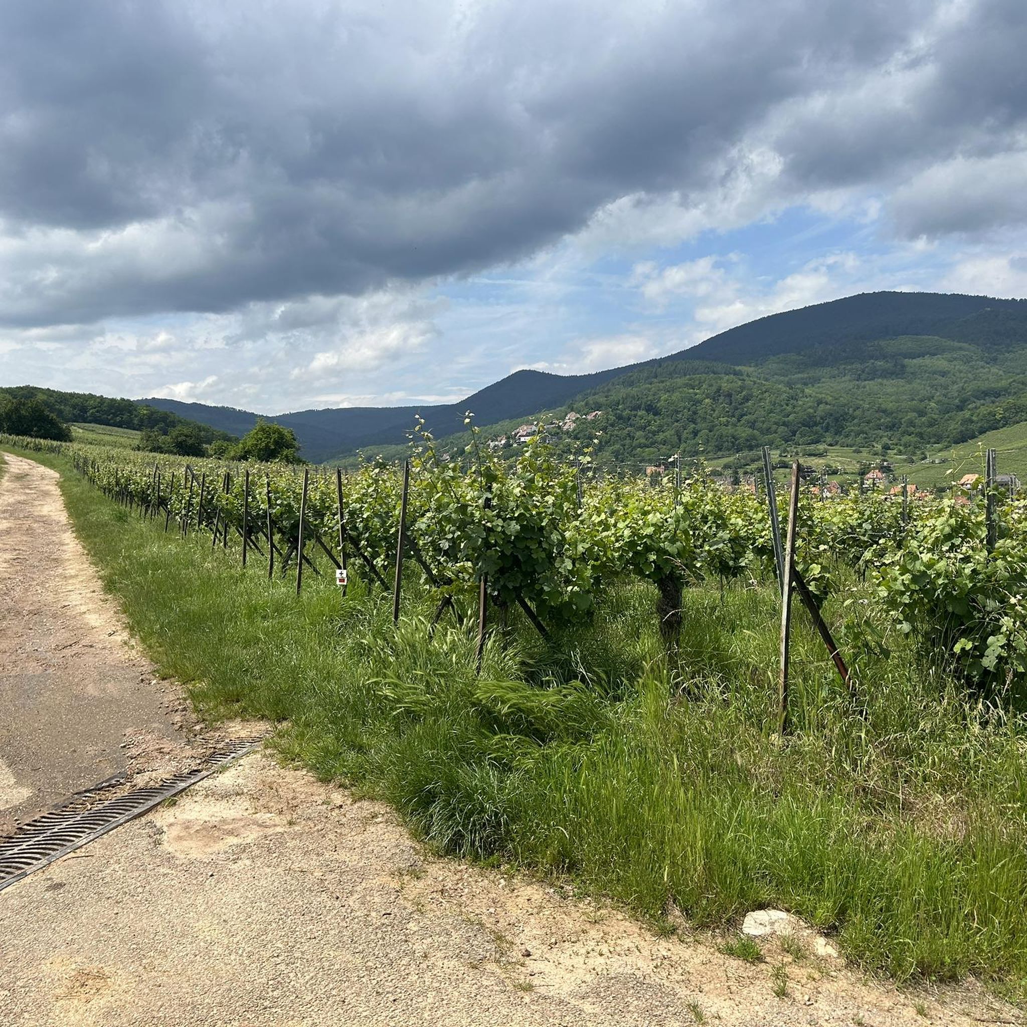
abandoned road with beautiful view.
0
0

beautiful path below the impressive rocks
2
0

The Saint-Nabor promontory, located in Alsace at the foot of Mont Sainte-Odile, offers a natural site rich in history and geology. It is known for its old porphyry quarries, a volcanic rock formed in the Carboniferous period, exploited long before their closure in 2002. The promontory rises to an altitude of approximately 340 meters in a semi-continental microclimate favoring vineyards and forests. It constitutes a belvedere offering a remarkable panorama of the Alsace plain, as far as Strasbourg and the Black Forest on a clear day. The site is accessible by well-marked hiking trails, notably the Saint-Nabor loop which passes by the Sainte-Lucie Fountain and the Pagan Wall. This peaceful place, away from the tourist hustle and bustle, is also a starting point for discovering the region, its heritage and its peaceful landscapes. It is steeped in history linked to the nearby Niedermunster monastery, now in ruins, and the presence of medieval remains.
0
0

That was a great view of Andlau
1
0

Andlau was founded in 880 by Empress Richardis. She had been banished by her husband, Emperor Charles III, and was later canonized. Her tomb in Andlau became a place of pilgrimage. According to legend, a wild bear showed her the perfect spot (Wikipedia). Wonderful Crus are produced from the vineyards here.
5
0
Frequently Asked Questions
What types of road cycling routes are available around Uttenheim?
Uttenheim, nestled in the Tauferer Ahrntal, offers a diverse range of road cycling experiences. You'll find everything from leisurely valley routes along the Ahr river, perfect for a relaxed pace, to demanding alpine climbs that challenge experienced cyclists. The region features a picturesque blend of wide fields, meadows, and a magnificent mountain backdrop, including parts of the Dolomites.
How many road cycling routes are there to explore in Uttenheim?
There are over 315 road cycling routes available around Uttenheim, catering to various skill levels. Approximately 75 routes are considered easy, 189 are moderate, and 52 are difficult, ensuring options for every road cyclist.
Are there challenging mountain passes for experienced road cyclists near Uttenheim?
Yes, ambitious road cyclists can tackle strenuous climbs to higher altitudes. The region provides access to renowned passes, some of which have featured in prestigious races like the Giro d'Italia. For example, the demanding climb to the Chemnitzer Hütte at Nevesjoch (2,420 meters) is a significant challenge. Iconic passes like the Stelvio Pass are also within reach for those seeking an epic adventure.
Are there easy or family-friendly road cycling options in Uttenheim?
Absolutely. For those preferring a more relaxed pace, flat cycling routes along the valley are available. A popular family-friendly option is a bike ride to the Reinbach Waterfalls, which boasts no significant inclines and allows you to explore the charming surroundings at a comfortable speed.
What scenic viewpoints or landmarks can I see while road cycling near Uttenheim?
The routes around Uttenheim offer stunning views of the Dolomites and the Tauferer Ahrntal. You might encounter natural attractions like the Reinbach Waterfalls. Historically, you can spot the impressive ruins of Uttenheim Castle, perched high above the village, and the unique Parish Church of St. Margaret. While cycling, you can also pass by the Obernai area or the Vineyards around Mittelbergheim.
What do other road cyclists enjoy most about road cycling in Uttenheim?
The road cycling routes in Uttenheim are highly rated by the komoot community, with an average score of 4.5 stars from over 390 reviews. Cyclists often praise the varied terrain, from serene valley paths to challenging alpine ascents, and the magnificent mountain backdrops that define the region.
What is the best time of year for road cycling in Uttenheim?
The best time for road cycling in Uttenheim, given its alpine location, is typically from late spring through early autumn (May to October). During these months, the weather is generally favorable, and mountain passes are more likely to be clear of snow, offering the full range of routes.
Are there circular road cycling routes around Uttenheim?
Yes, many of the road cycling routes around Uttenheim are designed as loops, allowing you to start and finish in the same location. For example, you can enjoy the Heiligenstein – Obernai Old Town loop from Matzenheim or the Alsace Wine Route Vineyards – Andlau loop from Matzenheim, which offer varied terrain and scenic views.
Is parking available for road cyclists in Uttenheim?
As a popular outdoor destination, Uttenheim and the surrounding Gais municipality typically offer various parking options suitable for accessing cycling routes. Look for designated parking areas in the village or near popular trailheads.
How can I access road cycling routes in Uttenheim using public transport?
The Tauferer Ahrntal region is generally well-connected by public transport, which can be useful for reaching starting points or returning from longer rides. Local bus services often cater to outdoor enthusiasts, but it's advisable to check specific routes and bike transport policies in advance.
Are there bike-friendly cafes or accommodation options in Uttenheim?
Uttenheim and the broader South Tyrolean region are very welcoming to cyclists. You'll find numerous bike-friendly cafes, restaurants, and accommodation options that cater to the needs of cyclists, offering amenities like secure bike storage and sometimes even repair facilities.
Are there any natural monuments or reserves accessible by road bike near Uttenheim?
While road cycling, you can pass by areas of natural beauty. For instance, the Taubergießen Nature Reserve is a notable natural monument in the wider region, offering a glimpse into diverse ecosystems. The Reinbach Waterfalls are also a significant natural attraction.
Most popular attractions around Uttenheim

Get inspired with the komoot mobile app


Explore more
Browse the best Road cycling routes in other regions.
