The best running trails around Moirans
3.4
(35)
980
runners
52
runs
Jogging around Moirans offers diverse natural landscapes, including the prominent Lac de Vouglans and the expansive Haut-Jura Regional Natural Park. The region features varied terrain, from serene lake-side paths to trails winding through forests and gorges. Joggers can find routes along torrents with footbridges, revealing unique rock formations and lush vegetation.
Best jogging routes around Moirans
- The most popular jogging route is Mayoussard Pond – Bicycle rest area loop from Moirans, a 6.5 miles (10.4 km) trail that takes…
Last updated: October 4, 2026
3.0
(7)
52
runners
10.4km
01:05
20m
20m
Moderate run. Good fitness required. Mostly paved surfaces. Suitable for all skill levels.
5.0
(1)
43
runners
Hard run. Very good fitness required. Mostly paved surfaces. Suitable for all skill levels.

43
runners
35.6km
04:58
1,270m
1,270m
Hard run. Very good fitness required. Sure-footedness, sturdy shoes and alpine experience required.
36
runners
6.23km
00:39
10m
10m
Moderate run. Good fitness required. Mostly paved surfaces. Suitable for all skill levels.
32
runners
8.75km
00:54
10m
10m
Moderate run. Good fitness required. Mostly paved surfaces. Suitable for all skill levels.
Get access to more routes and recommendations from other explorers.
Already have an account?
Our route recommendations are based on thousands of hikes, rides, and runs completed by other people on komoot.



Other adventures around Moirans


Tips from the Community

We are surprised to see such a beautiful pond so close to Moirans. Apparently, it seems to be popular with fishermen
0
0

The Étang de Mayoussard is a 4-hectare body of water located near the commune of Moirans. It is a natural site highly appreciated by local fishermen for its tranquility and the variety of its fish species.
0
0
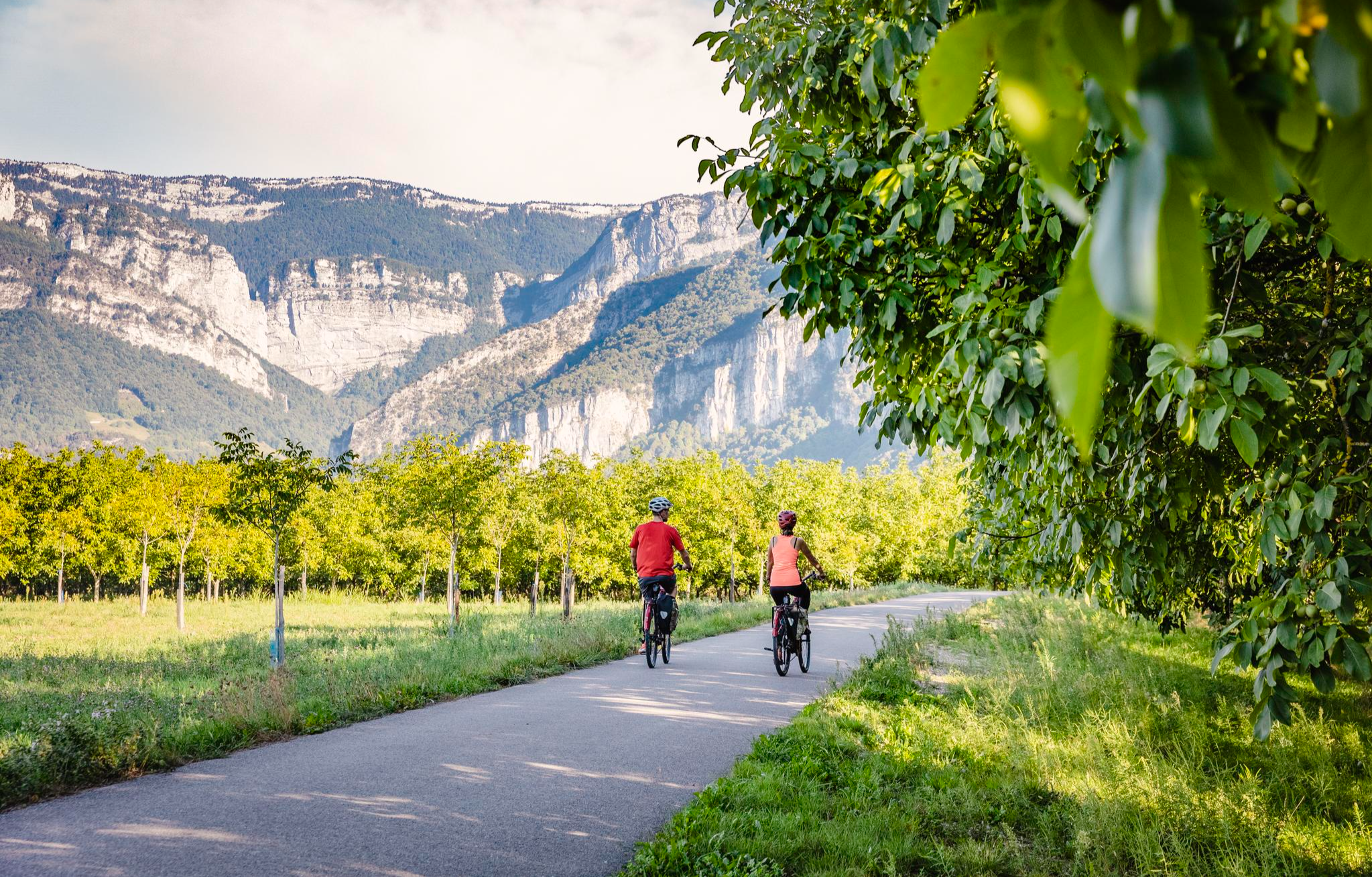
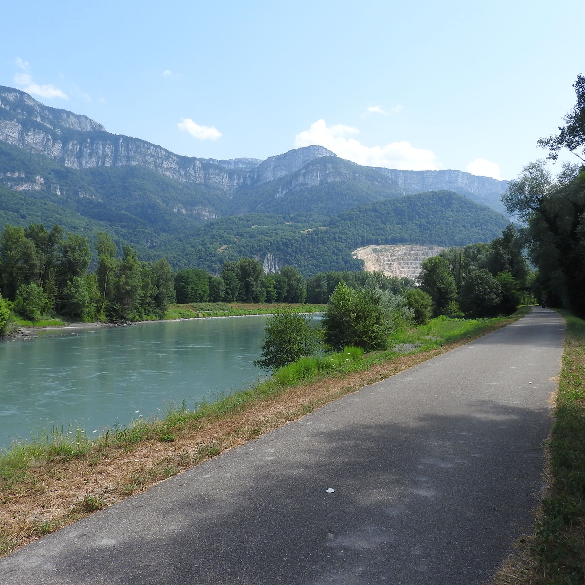
La Véloroute de l'Isère, officially integrated into the national route La Belle Via (referenced under number V63), is a cycling route of over 200 kilometers that runs along the Isère river. It connects the foothills of Savoie to the Drôme (connection with ViaRhôna), by crossing the entire department of Isère and its capital, Grenoble.
0
0
The La Véloroute de l'Isère, officially integrated into the national route La Belle Via (referenced under number V63), is a cycling route of over 200 kilometers that runs along the Isère river. It connects the foothills of Savoie to the Drôme (connection with ViaRhôna), by crossing the entire department of Isère and its capital, Grenoble.
0
0
The Véloroute de l'Isère, officially integrated into the national route La Belle Via (referenced under number V63), is a cycling route of over 200 kilometers that runs along the Isère river. It connects the foothills of Savoie to the Drôme (connection with ViaRhôna), by crossing the entire department of Isère and its capital, Grenoble.
0
0

Forest
1
0
Frequently Asked Questions
How many running routes are available around Moirans?
There are over 40 diverse running routes available around Moirans, catering to various preferences and fitness levels. These trails explore the region's beautiful natural landscapes, including lakes, forests, and river valleys.
What are the difficulty levels of running trails in Moirans?
Moirans offers a good mix of running trail difficulties. You'll find a few easy routes perfect for beginners, over 35 moderate trails, and several more challenging paths for experienced runners seeking a demanding workout.
Are there circular running routes in Moirans?
Yes, many of the running routes in Moirans are circular, allowing you to start and finish at the same point. For example, the Mayoussard Pond – Bicycle rest area loop from Moirans is a popular moderate option, offering scenic views.
What kind of terrain can I expect on running trails around Moirans?
The terrain around Moirans is quite varied. You can expect serene lakeside paths, trails winding through dense forests, and routes along river valleys. Some areas, like the Gorges of the Abyss, feature paths with footbridges and unique rock formations, while the Col de la Joux offers charming climbs through forests with varying slopes.
Are there any waterfalls along the running trails in Moirans?
Yes, the region boasts beautiful natural features, including waterfalls. You might encounter the captivating Combes Waterfall, known as a 'small island of freshness.' Additionally, the Pisserotte Waterfall is another notable natural monument in the vicinity.
What natural landmarks or viewpoints can I see while jogging in Moirans?
While jogging in Moirans, you can enjoy stunning natural landmarks and viewpoints. The prominent Lac de Vouglans offers a beautiful backdrop, and trails often lead through the expansive Parc naturel régional du Haut-Jura. You can also explore the secluded Gorges du Crossey, or reach summits like Bec de l'Orient and La Buffe Summit for panoramic views.
Are there family-friendly running routes in Moirans?
Yes, Moirans offers routes suitable for families. Many of the easier and moderate trails, particularly those along flatter sections or around ponds like the Mayoussard Pond loop, are great for a family run or walk. The varied landscapes ensure there's something to keep everyone engaged.
Are the running trails in Moirans dog-friendly?
Many natural trails in the Moirans area are suitable for running with dogs, provided they are kept under control, especially in protected areas or near wildlife. It's always recommended to check local signage for specific rules regarding pets in certain sections of the Parc naturel régional du Haut-Jura or other natural sites.
What do other runners enjoy most about jogging in Moirans?
The running routes in Moirans are highly rated by the komoot community, with an average score of 3.6 stars from over 10 reviews. Runners often praise the diverse natural landscapes, from serene lake-side paths to trails winding through forests and gorges, and the variety of options for different ability levels.
When is the best time of year to go jogging in Moirans?
The Jura region, where Moirans is located, is excellent for outdoor activities. Spring and autumn generally offer pleasant temperatures and beautiful scenery for jogging. Summer is also popular, especially around water bodies like Lac de Vouglans, which provide a refreshing atmosphere. Winter jogging is possible, but some higher elevation trails might be challenging due to snow or ice.
Are there any challenging running routes for experienced runners?
Absolutely. For experienced runners seeking a challenge, Moirans offers several difficult routes. The V63 cycle route – View of the Vercors massif loop from Moirans-Galifette is a difficult 11.7-mile (18.9 km) path that provides scenic views and a good workout. The Col de la Joux also offers a strenuous climb through a forest with varying slopes.
Can I access running trails in Moirans using public transport?
While Moirans itself has public transport options, direct access to all trailheads via public transport might be limited. It's advisable to check local bus schedules or consider combining public transport with a short walk or taxi ride to reach more secluded starting points. Parking is generally available near popular trail access points.
Most popular attractions around Moirans

Get inspired with the komoot mobile app


Explore more
Browse the best Running Trails & Routes in other regions.
