The best running trails around Clarafond-Arcine
4.3
(62)
2,815
runners
272
runs
Jogging routes around Clarafond-Arcine traverse a varied landscape, characterized by the Rhône river valley and surrounding hills such as Mont Vuache and Crêt de la Goutte. The region offers a mix of challenging ascents and more gentle paths through rural areas. Runners can expect diverse terrain, from riverside trails to routes with significant elevation gain.
Best jogging routes around Clarafond-Arcine
- The most popular jogging route is The Titans-sur-Rhône Viaduct – View of Léaz loop from Léaz, a 9.3 miles…
Last updated: August 27, 2026
180
runners
14.9km
02:03
640m
630m
Hard run. Very good fitness required. Mostly paved surfaces. Suitable for all skill levels.
5.0
(1)
13
runners
19.8km
03:07
850m
850m
Hard run. Very good fitness required. Sure-footedness, sturdy shoes and alpine experience required.

Sign up for free
30
runners
12.1km
01:54
500m
490m
Hard run. Very good fitness required. Sure-footedness, sturdy shoes and alpine experience required.
11
runners
10.7km
01:09
80m
80m
Moderate run. Good fitness required. Mostly paved surfaces. Suitable for all skill levels.
7
runners
6.03km
00:58
350m
350m
Hard run. Very good fitness required. Mostly accessible paths. Some sure footedness required.
Get access to more routes and recommendations from other explorers.
Sign up for free
Already have an account?
Our route recommendations are based on thousands of hikes, rides, and runs completed by other people on komoot.
Start today with a free account
Your next adventure awaits.
Login or Signup
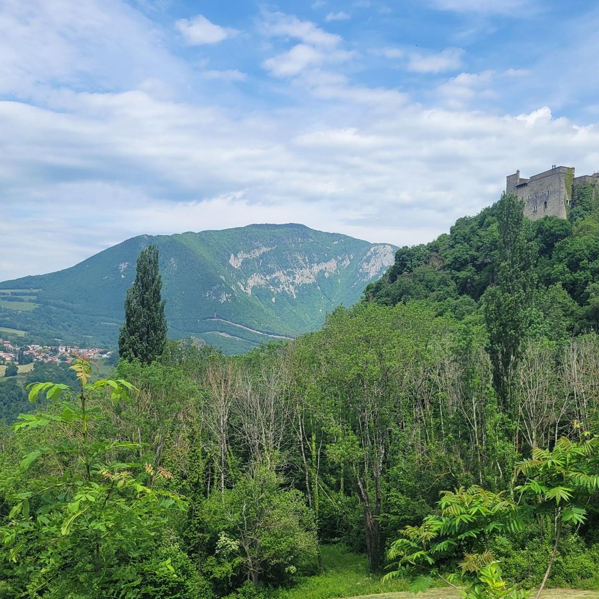
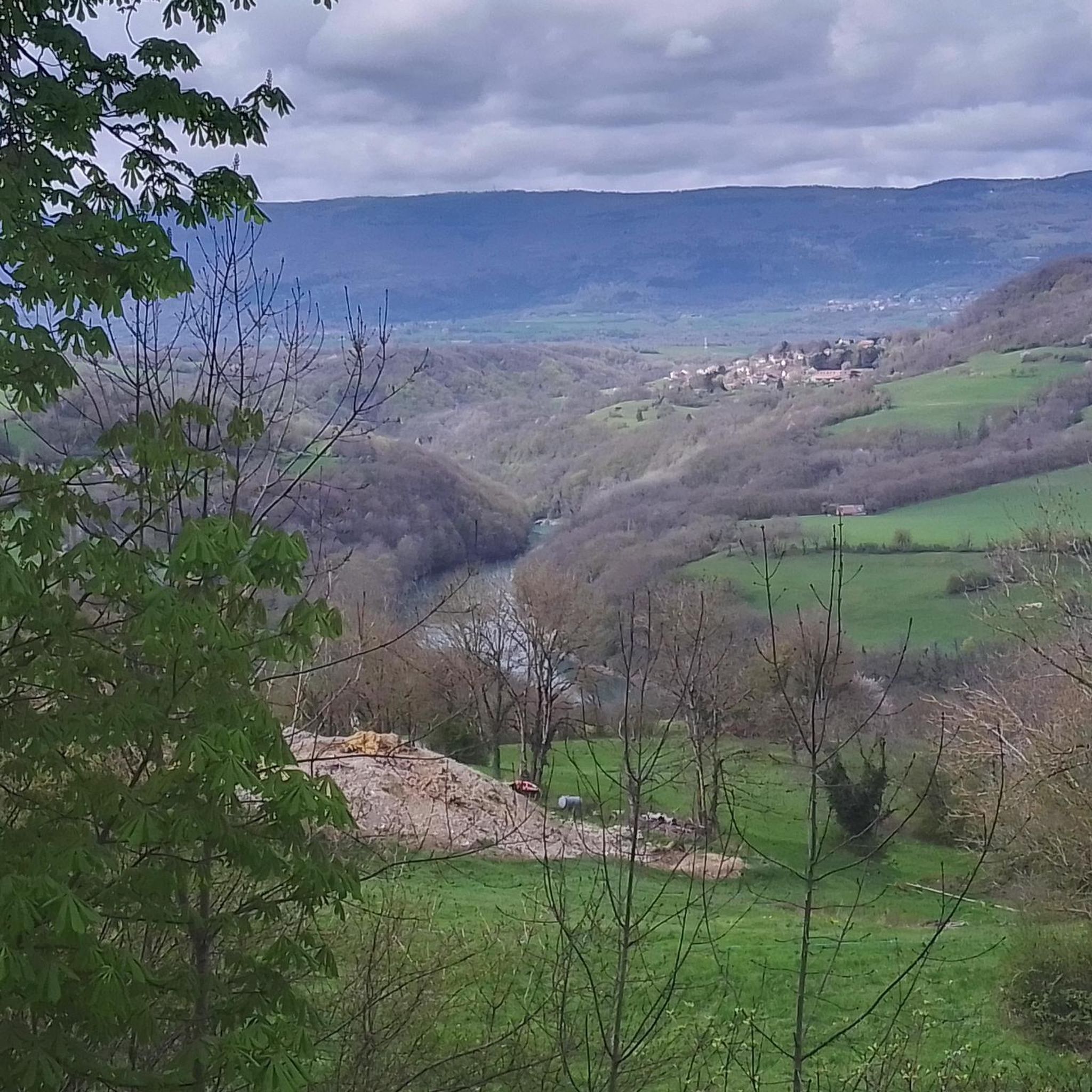
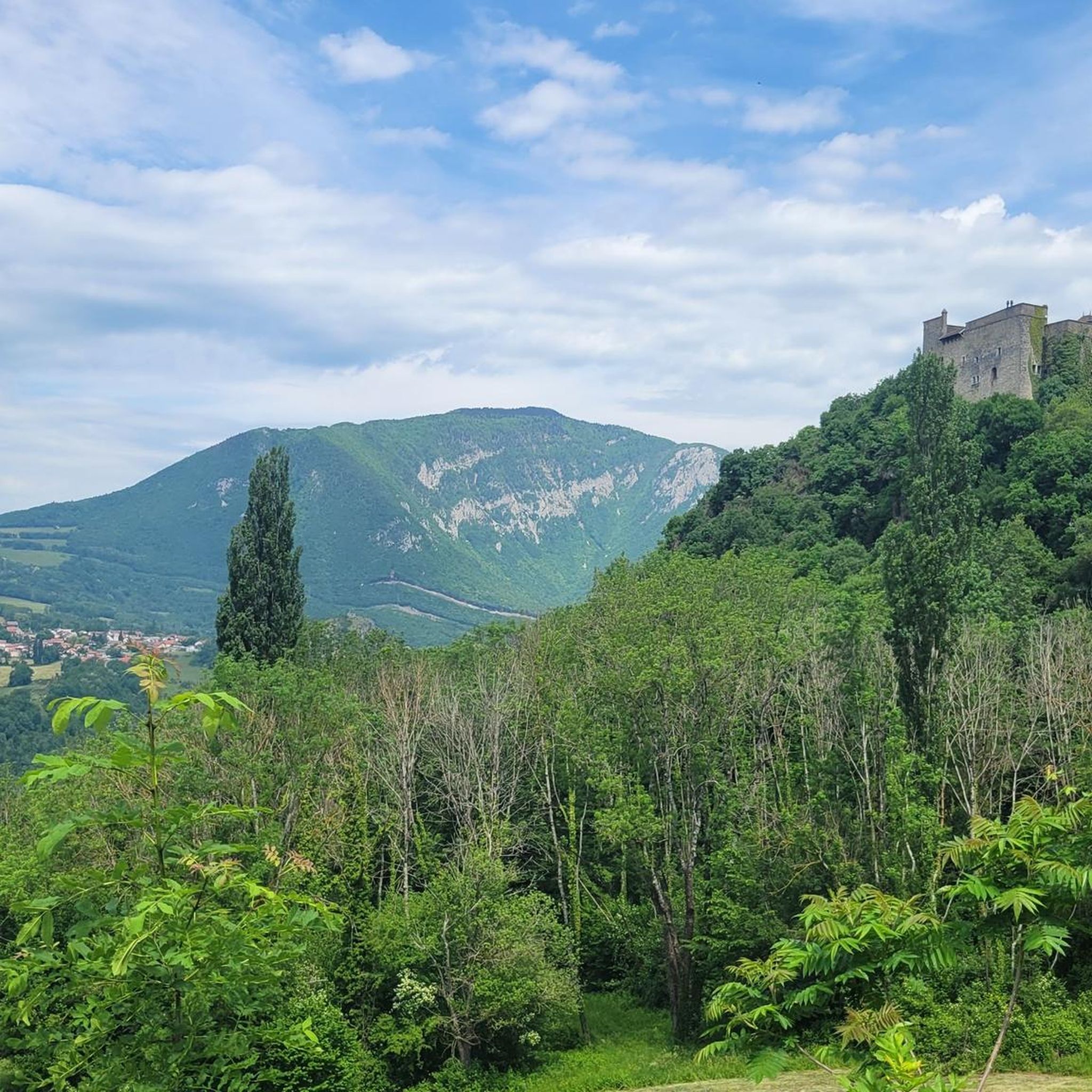
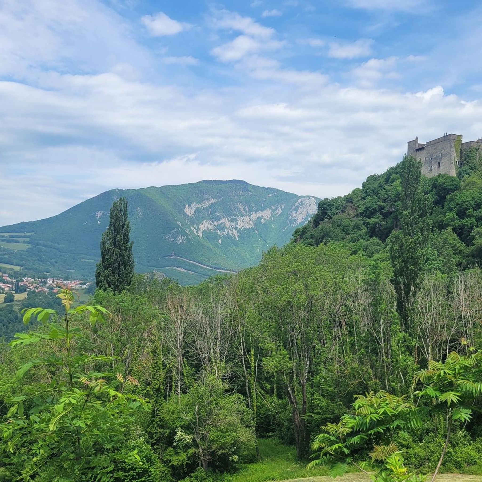

Tips from the Community

If you turn around on this very beautiful dirt road, you can faintly see the village of Léaz which you have just left.
0
0

Committed climb with pushing but beautiful views at 1101 m
0
0
Frequently Asked Questions
How many running routes are available in Clarafond-Arcine?
There are over 240 running routes in the Clarafond-Arcine area, offering a wide variety of terrain and difficulty levels for joggers.
Are there easy running routes suitable for beginners in Clarafond-Arcine?
Yes, Clarafond-Arcine offers 18 easy running routes. These paths typically feature gentler inclines and less challenging terrain, making them ideal for beginners or those looking for a relaxed jog. Many of these routes traverse the rural landscapes and river valleys.
What is the typical length of running trails in Clarafond-Arcine?
The running trails in Clarafond-Arcine vary significantly in length. For example, the Vulbens loop from Chevrier is about 5.5 miles (8.8 km), while more challenging routes like Mont Vuache – Le Vuache loop from Chevrier extend to 11.4 miles (18.4 km).
Are there any family-friendly running paths in the region?
Yes, many of the 18 easy and 151 moderate routes are suitable for families. These paths often follow the river valleys or gentle countryside, providing a pleasant experience for all ages. Look for routes with minimal elevation gain for the most family-friendly options.
Can I find running routes with significant elevation gain for a challenging workout?
Absolutely. Clarafond-Arcine is characterized by surrounding hills like Mont Vuache and Crêt de la Goutte, offering 74 difficult routes with substantial elevation gain. For instance, the Crêt de la Goutte loop from Léaz features over 1100 meters of ascent, providing a demanding workout.
What kind of scenery can I expect on the running trails around Clarafond-Arcine?
Runners can expect diverse scenery, from paths along the Rhône river valley to routes through rural areas and up significant hills like Mont Vuache. Many trails offer expansive views, particularly from higher elevations, showcasing the varied landscape of the region.
Are there any historical landmarks or natural attractions along the running routes?
Yes, the region is rich in attractions. You might encounter historical sites like Fort l'Écluse or enjoy natural wonders such as the Valserine Gorges. Some routes also offer views of castles like Château d'Arcine.
What do other runners enjoy most about jogging in Clarafond-Arcine?
The running routes in Clarafond-Arcine are highly rated by the komoot community, with an average score of 4.1 stars from over 40 reviews. Runners often praise the varied terrain, from riverside trails to challenging mountain ascents, and the beautiful, diverse landscapes.
Are there circular running routes available?
Yes, many of the routes in Clarafond-Arcine are designed as loops, allowing you to start and finish at the same point. Examples include the The Titans-sur-Rhône Viaduct – View of Léaz loop from Léaz and the Mont Vuache – Le Vuache loop from Arcine.
Is it possible to access running trails via public transport in Clarafond-Arcine?
While specific public transport links for each trailhead are not detailed, many routes start from villages like Léaz or Chevrier, which typically have some level of public transport access. It's advisable to check local bus schedules for connections to these starting points.
Are there any specific considerations for winter running in Clarafond-Arcine?
The region's varied landscape, including hills like Mont Vuache, can experience snow and ice in winter. Lower elevation routes along the Rhône river valley might remain more accessible, but always check local weather conditions and trail reports before heading out for winter running.
Can I find running routes that pass by cafes or refreshment points?
While the routes themselves don't explicitly list cafes, many trails start or pass through villages such as Léaz or Chevrier. These villages often have local establishments where you can find refreshments before or after your run.
Most popular routes around Clarafond-Arcine
Most popular attractions around Clarafond-Arcine

Get inspired with the komoot mobile app


Explore more
Browse the best Running Trails & Routes in other regions.
