The best walks and hikes around La Compôte
4.4
(1192)
14,811
hikers
271
hikes
Hiking around La Compôte offers access to the diverse terrain of the Massif des Bauges Regional Natural Park in the Savoie region of France. The area is characterized by limestone peaks, including Mont Colombier, and verdant forests and meadows. Trails often follow the Chéran River valley and ascend to panoramic viewpoints. Altitudes in the region range from approximately 660 to 1950 meters, providing varied elevation profiles for hiking.
Best hiking trails around La Compôte
- The most popular hiking route is…
Last updated: October 7, 2026
4.7
(29)
431
hikers
10.6km
05:12
810m
820m
Hard hike. Very good fitness required. Mostly accessible paths. Sure-footedness required.
4.6
(29)
450
hikers
18.1km
08:31
1,310m
1,310m
Hard hike. Very good fitness required. Sure-footedness, sturdy shoes and alpine experience required.

4.6
(27)
278
hikers
13.0km
04:37
790m
790m
Moderate hike. Good fitness required. Easily-accessible paths. Suitable for all skill levels.
4.8
(25)
422
hikers
11.5km
04:47
660m
660m
Moderate hike. Good fitness required. Mostly accessible paths. Sure-footedness required.
4.8
(9)
162
hikers
21.0km
07:33
950m
950m
Hard hike. Very good fitness required. Mostly accessible paths. Sure-footedness required.
Get access to more routes and recommendations from other explorers.
Already have an account?
Our route recommendations are based on thousands of hikes, rides, and runs completed by other people on komoot.
Start today with a free account
Your next adventure awaits.

Tips from the Community


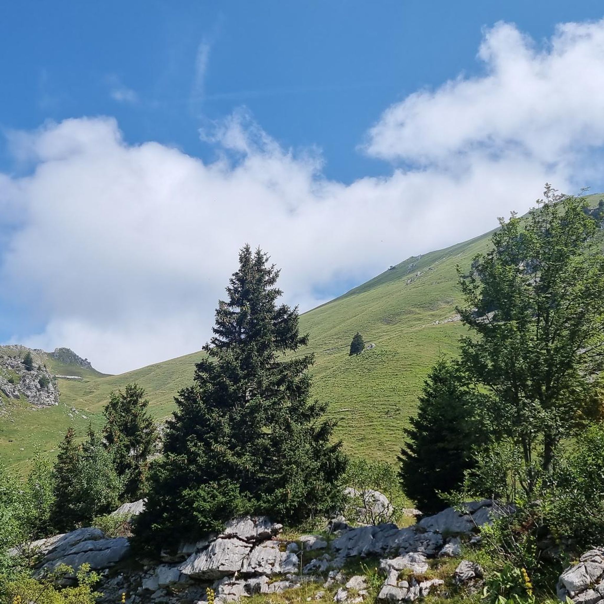
Very beautiful hike to a beautiful view. You go through a protected area where dogs are not allowed. So pay attention to this.
0
0

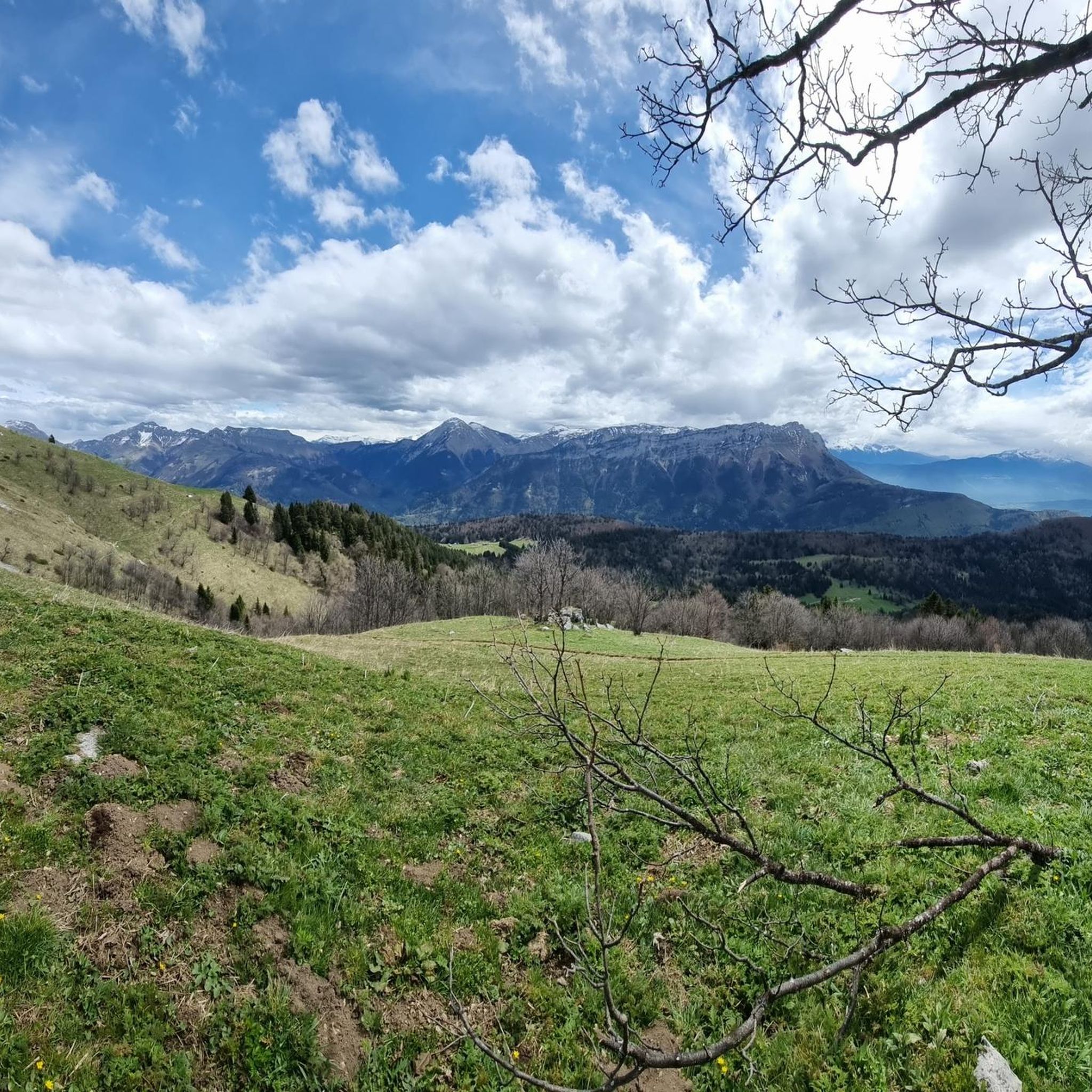
A remarkable viewpoint, ideal for admiring the Bauges mountains and Mont Blanc in the distance.
0
0

This fountain is located 15 minutes above the Bellevaux fountain.
0
0


The photos are taken downhill after a muddy section under the trees. The section is muddy even in good weather so I don't dare imagine in rainy weather... I forgot to take photos of the tricky passages of slippery log steps.
0
0

A relaxing place, with a fountain for drinking! Great stop when you come back from Pecloz and you are very tired!
0
0
Frequently Asked Questions
How many hiking trails are available around La Compôte?
La Compôte offers a wide variety of hiking opportunities, with over 270 routes available. These trails cater to different fitness levels, including 54 easy, 128 moderate, and 95 difficult options.
What do other hikers enjoy most about hiking in La Compôte?
The area is highly rated by the komoot community, with an average score of 4.5 stars from over 1,100 reviews. Hikers often praise the diverse terrain, from limestone peaks to verdant forests, and the panoramic views of the Alps. Over 14,000 visitors have used komoot to explore the trails around La Compôte.
What kind of terrain can I expect on hikes around La Compôte?
Hikes around La Compôte traverse the varied landscape of the Massif des Bauges. You'll encounter limestone peaks, extensive wooded areas, and lush meadows. Many trails follow the Chéran River valley, while others ascend to higher altitudes, offering significant elevation changes and stunning views of the surrounding Alps.
Are there easy hiking trails suitable for beginners in La Compôte?
Yes, La Compôte offers 54 easy hiking routes. These trails are generally less demanding, often following gentler paths through forests or along the Chéran River, making them suitable for beginners or those seeking a relaxed walk.
Are there challenging hikes with significant elevation gain?
Absolutely. For experienced hikers, there are 95 difficult routes available. Many of these involve substantial elevation gain, particularly those ascending peaks like Mont Colombier. An example is the View from the Croix d'Allant – Jarsy loop from École, which features over 830 meters of ascent.
What natural features or landmarks can I see while hiking near La Compôte?
The region is rich in natural beauty. You can encounter prominent peaks like Mont Colombier, explore various mountain passes such as Col du Frêne (950 m) and Chérel Pass, and enjoy views from natural monuments like Petite Sambuy. The Chéran River also offers picturesque sections.
Are there any historical or cultural points of interest along the trails?
Yes, many trails pass through areas with cultural significance. You might encounter traditional cheese factories (fruitières), unique architectural elements like 'tavalans' (curved balcony supports), and historic 'grangettes' (hay barns). Some routes, like the Circuit de l'Armène, offer the option to visit the ruined village of La Chapelle and the Notre-Dame de Bellevaux chapel.
Are there circular hiking routes available in La Compôte?
Yes, many of the trails around La Compôte are designed as loops, allowing you to start and end at the same point. Examples include the challenging Cochette Pass – Mont Colombier loop from Parking de Praz Gelaz and the moderate Jarsy – View from the Croix d'Allant loop from Jarsy.
Can I bring my dog on hikes around La Compôte?
Generally, dogs are permitted on trails in the Massif des Bauges Regional Natural Park, but it's essential to keep them on a leash, especially in areas with livestock or wildlife. Always check specific trail regulations or local signage for any restrictions before heading out.
Where can I find parking for hiking trailheads in La Compôte?
Many popular trailheads, especially for routes leading into the Massif des Bauges, have designated parking areas. For instance, the Cochette Pass – Mont Colombier loop starts from Parking de Praz Gelaz. It's advisable to check the starting point of your chosen route for specific parking information.
Is public transport available to reach hiking starting points?
While La Compôte is a mountain village, public transport options to specific trailheads can be limited. It's best to check local bus schedules or consider driving to access the most convenient starting points for your chosen hike. Chambéry, approximately 50 km away, serves as a larger transport hub.
What is the best time of year to go hiking in La Compôte?
The best time for hiking in La Compôte is typically from late spring to early autumn (May to October). During these months, the weather is generally mild, and trails are clear of snow. Summer offers lush greenery, while autumn brings vibrant colors. Winter is suitable for snowshoeing or ski touring, but many hiking trails may be inaccessible due to snow.
Most popular routes around La Compôte
Most popular attractions around La Compôte

Get inspired with the komoot mobile app


Explore more
Browse the best Hikes in other regions.
