The best running trails around Saint-Baudille-De-La-Tour
4.4
(216)
4,844
runners
424
runs
Jogging around Saint-Baudille-De-La-Tour offers access to a diverse natural environment, characterized by expansive forests, serene ponds, and varied terrain including valleys and historical cliffs. The region features picturesque waterside paths along rivers like the Val d'Amby, alongside wooded areas and small peat bogs. Joggers can explore routes that traverse these natural features, providing both gentle and more challenging elevations. This landscape provides a rich backdrop for outdoor activities, with numerous trails suitable for running.
Best jogging routes around Saint-Baudille-De-La-Tour
- The…
Last updated: July 11, 2026
5.0
(1)
15
runners
5.73km
00:49
240m
240m
Hard run. Good fitness required. Sure-footedness, sturdy shoes and alpine experience required.
13
runners
13.5km
01:31
150m
150m
Moderate run. Good fitness required. Mostly paved surfaces. Suitable for all skill levels.

Sign up for free
5.0
(1)
13
runners
13.4km
01:43
390m
390m
Hard run. Very good fitness required. Sure-footedness, sturdy shoes and alpine experience required.
9
runners
11.1km
01:29
360m
360m
Hard run. Very good fitness required. Sure-footedness, sturdy shoes and alpine experience required.
6
runners
6.38km
00:43
20m
20m
Moderate run. Good fitness required. Mostly paved surfaces. Suitable for all skill levels.
Get access to more routes and recommendations from other explorers.
Sign up for free
Already have an account?
Our route recommendations are based on thousands of hikes, rides, and runs completed by other people on komoot.
Start today with a free account
Your next adventure awaits.
Login or Signup
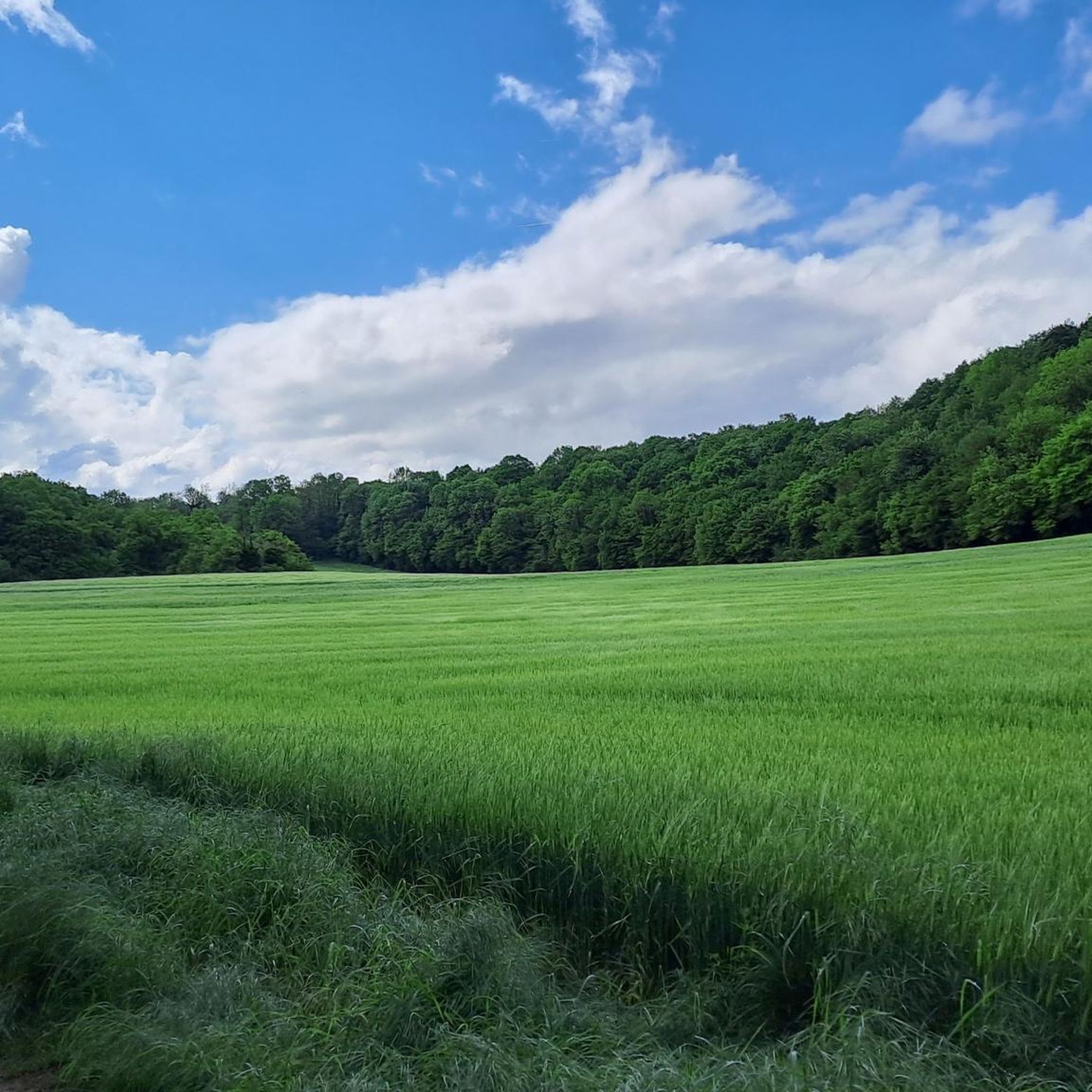
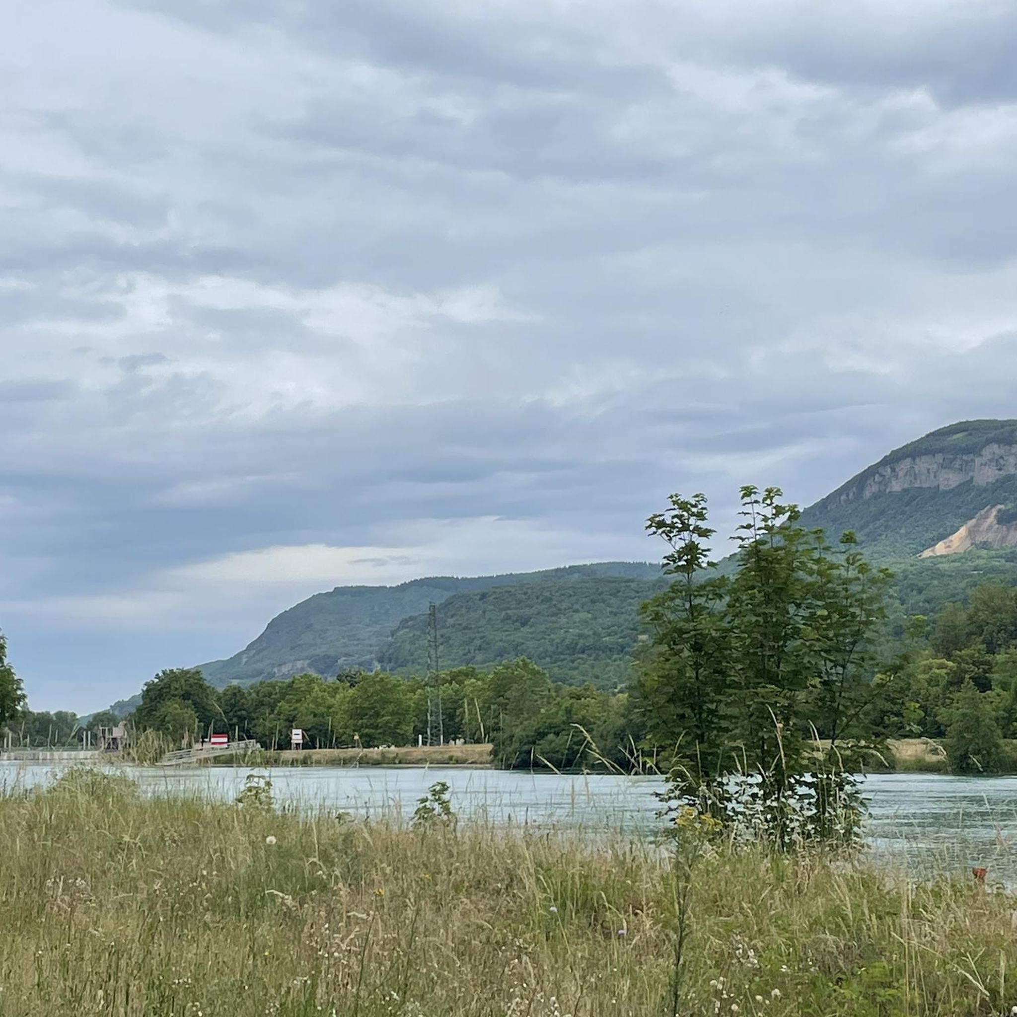
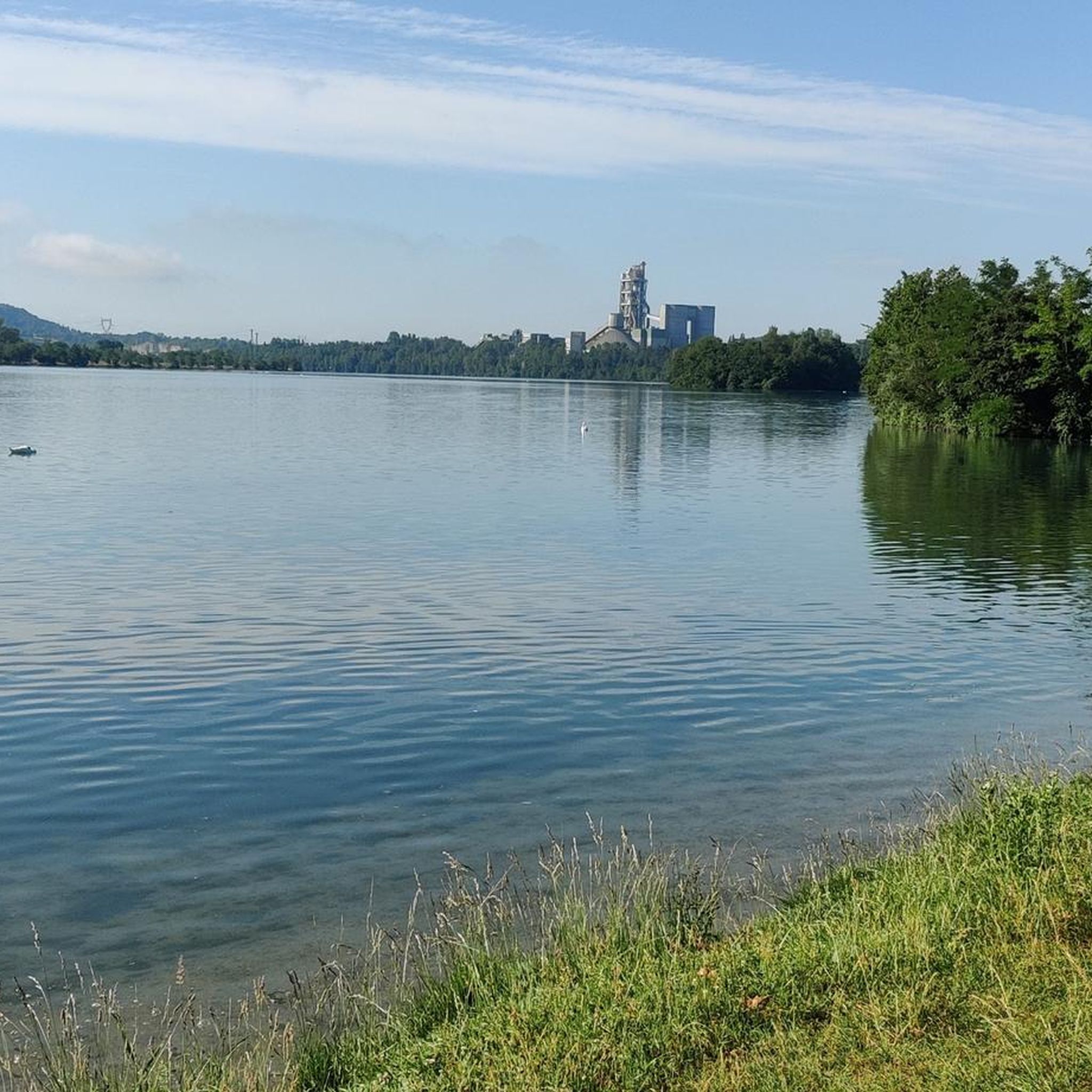
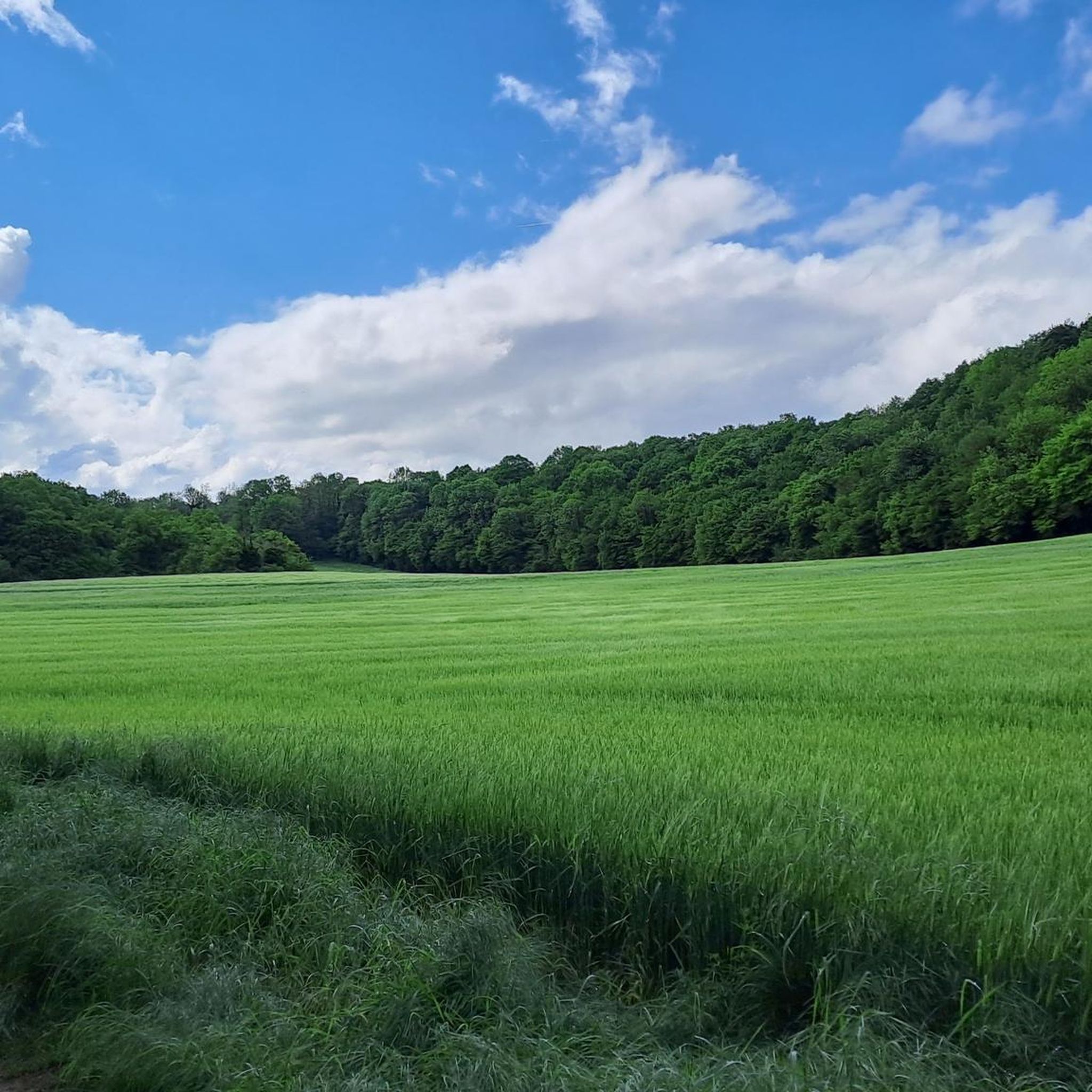
Tips from the Community

Private property (cannot be visited)
2
0
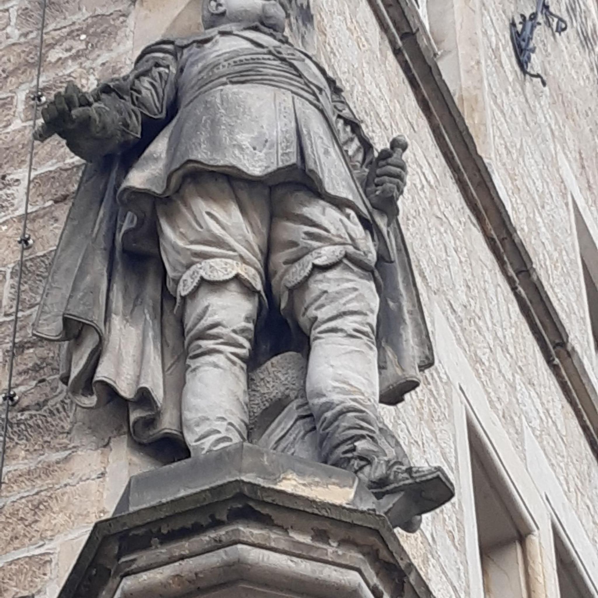
Private property, visible from the Val d'Amby and which can be approached by climbing to Saint-Baudille-de-la-Tour.
0
0

just after a very technical descent ...!
2
0
Frequently Asked Questions
How many running routes are available in Saint-Baudille-De-La-Tour?
Saint-Baudille-De-La-Tour offers a wide selection of running routes, with over 430 trails available. This includes a variety of options for different skill levels, from easy jogs to more challenging trail runs.
What kind of terrain can I expect on the running trails in Saint-Baudille-De-La-Tour?
The region boasts a diverse natural environment, perfect for running. You'll find expansive forests, serene ponds, and varied terrain including valleys and historical cliffs. Many routes feature picturesque waterside paths along rivers like the Val d'Amby, alongside wooded areas and small peat bogs. Expect a mix of gentle paths and more challenging climbs.
Are there easy running routes for beginners or casual joggers?
Yes, there are plenty of options for easier runs. Approximately 38 routes are classified as easy, offering gentler paths suitable for beginners or those looking for a more relaxed jog. For example, the Optevoz loop from Optevoz is a moderate 6.4 km route with minimal elevation change.
What are the options for more challenging trail runs?
For experienced runners seeking a challenge, Saint-Baudille-De-La-Tour has over 80 difficult routes. These trails often feature significant elevation changes and varied terrain. A notable difficult route is the Oppidum of Larina – Mollard-Reinard (Fontana) loop from Hières-sur-Amby, a 6.0 km trail with substantial climbs.
What do other runners say about the trails in Saint-Baudille-De-La-Tour?
The running routes in Saint-Baudille-De-La-Tour are highly regarded by the komoot community, with an average rating of 4.5 stars from over 170 reviews. More than 4,500 runners have explored the varied terrain, often praising the scenic beauty, tranquil atmosphere, and diverse natural features like ponds and forests.
Can I find running routes that pass by water features like ponds or waterfalls?
Absolutely. The area is known for its serene étangs (ponds) and 'wild waterfalls'. The Étang de Montclus – Étang de la Roche loop from Saint-Baudille-de-la-Tour is a moderate 13.4 km path that winds past tranquil ponds, including the Étang de Montclus, providing scenic waterside running. The Étang de Lemps, with its bald cypresses, is particularly beautiful in autumn.
Are there any circular running routes in the area?
Yes, many of the running routes in Saint-Baudille-De-La-Tour are circular, allowing you to start and finish at the same point. Examples include the Étang de Montclus – Étang de la Roche loop and the The Washhouse loop from Hières-sur-Amby, which is an 8.0-mile trail.
What natural landmarks or historical sites can I see while jogging?
As you jog, you can encounter a blend of natural beauty and historical charm. The region offers 'nid d'aigle' (eagle's nest) viewpoints with breathtaking panoramas. You might also pass preserved historical elements such as old stone farmhouses, communal ovens, wash houses, and fountains. For specific landmarks, consider visiting La Balme Caves or the medieval town of Crémieu.
Are there any routes with panoramic views?
Yes, the region is known for its 'nid d'aigle' (eagle's nest) viewpoints, which offer breathtaking views of the surrounding landscapes. These spots provide motivating scenic vistas during your run, showcasing the diverse natural beauty of the Balcons du Dauphiné.
What is the best time of year to go running in Saint-Baudille-De-La-Tour?
Saint-Baudille-De-La-Tour is excellent for outdoor activities throughout much of the year. Autumn is particularly stunning, as the Étang de Lemps transforms into a 'symphony of colors' when its bald cypresses reflect in the water. Spring and summer also offer pleasant conditions for running amidst the green forests and along waterside paths.
Are there any long-distance running options?
Yes, for those looking for longer runs, there are numerous trails exceeding 10 km. For example, the Étang de Montclus – Étang de la Roche loop is 13.4 km, and the Lac d'Hières loop from Hières-sur-Amby is 11.1 km, offering extended running experiences.
Is public transport available to access the running trails?
While specific public transport links directly to every trailhead might be limited, the region is accessible. For detailed information on public transport options to Saint-Baudille-De-La-Tour and surrounding areas, it's advisable to consult local transport authorities or the official tourism website for the Balcons du Dauphiné: balconsdudauphine-tourisme.com.
Where can I find parking for the running routes?
Many trailheads in and around Saint-Baudille-De-La-Tour offer designated parking areas, especially near popular starting points for routes. For specific parking information related to individual routes, check the details provided on each komoot tour page, as these often include parking suggestions.
Most popular routes around Saint-Baudille-De-La-Tour
Most popular attractions around Saint-Baudille-De-La-Tour

Get inspired with the komoot mobile app


Explore more
Browse the best Running Trails & Routes in other regions.
