The best running trails around Montigny-Lès-Metz
4.4
(11)
652
runners
35
runs
Jogging around Montigny-Lès-Metz offers a variety of routes, often featuring paths alongside the Plan d'Eau de Metz and the Seille River. The terrain is generally flat around the water bodies, with some routes incorporating gentle ascents towards areas like Col de Lessy. The region provides opportunities for running through urban parks and along natural waterways.
Best jogging routes around Montigny-Lès-Metz
- The most popular jogging route is Recreational lake loop from Nouvelle Ville, a 4.0 miles (6.5 km) trail that takes 40 minutes to complete. This route circles the recreational lake, offering consistent flat running.
- Another top favourite among local runners is Plan d'Eau de Metz – Col de Lessy loop from Metz, a difficult 15.3 miles (24.6 km) path. This route combines lakeside running with a more challenging ascent towards Col de Lessy.
- Local runners also love the Running loop from Montigny-lès-Metz, a 3.8 miles (6.1 km) trail leading through local urban and green spaces, often completed in about 38 minutes.
- Jogging around Montigny-Lès-Metz is defined by riverside paths, lake loops, and some routes with moderate hills. The network offers options for easy, moderate, and difficult running, catering to different ability levels.
- The routes in Montigny-Lès-Metz are highly rated by the komoot community with an average score of 4.0 stars from over 3 reviews. More than 600 runners have used komoot to explore Montigny-Lès-Metz's varied terrain.
Last updated: October 18, 2026
3.9
(7)
85
runners
14.3km
01:32
190m
190m
Moderate run. Good fitness required. Mostly paved surfaces. Suitable for all skill levels.
80
runners
24.6km
02:34
110m
110m
Hard run. Very good fitness required. Mostly paved surfaces. Suitable for all skill levels.

73
runners
Moderate run. Good fitness required. Mostly paved surfaces. Suitable for all skill levels.
5.0
(1)
45
runners
Moderate run. Good fitness required. Mostly paved surfaces. Suitable for all skill levels.
47
runners
3.61km
00:22
10m
10m
Easy run. Great for any fitness level. Mostly paved surfaces. Suitable for all skill levels.
Get access to more routes and recommendations from other explorers.
Already have an account?
Our route recommendations are based on thousands of hikes, rides, and runs completed by other people on komoot.
Start today with a free account
Your next adventure awaits.

Tips from the Community

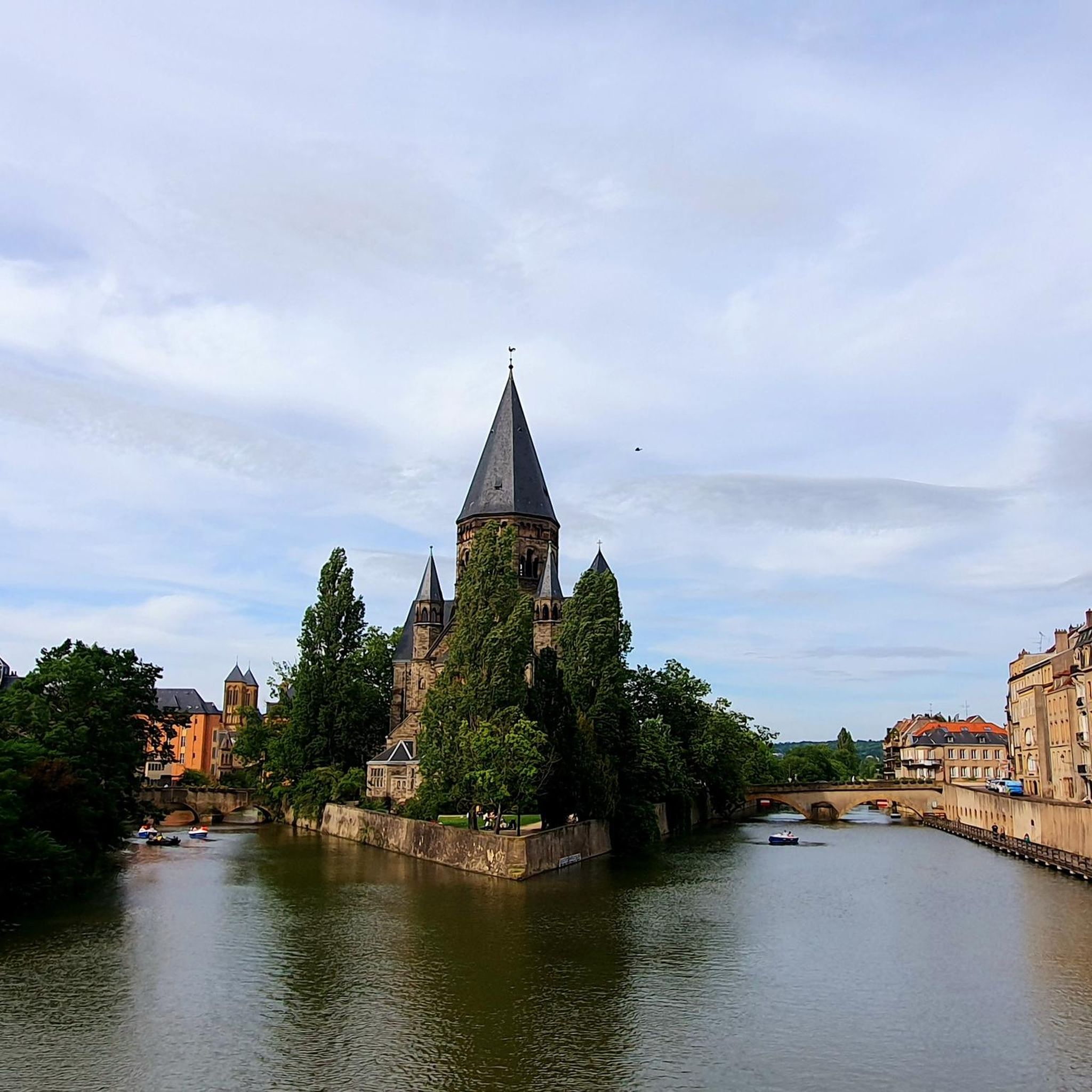
The Temple Neuf in its green setting, on its peninsula, is truly magnificent.
0
0

beautiful old town in Metz
0
0

The Temple Neuf was built from 1901 to 1904 in gray sandstone in the Neo-Romanesque style in the Jardin des Amours at the end of the Place de la Comédie, and forms a picturesque contrast to the classical architecture of the opera house. When illuminated at dusk, it appears in all its splendor, reflecting in the Moselle, offering one of the most beautiful night views of the city. Tourisme-metz.com
0
0

The Evangelical Reformed Church on a small island, Île du Petit-Saulcy (small willow island), between the Moselle and a side arm has a beautiful garden, the Jardin d'Amour, and is a dreamlike place for relaxation and contemplation.
0
0

The Cathedral of Metz is called Cathédrale Saint-Étienne de Metz in French. It is a Gothic masterpiece from the 13th to 16th centuries, known as "La lanterne du Bon Dieu" (The Lantern of the Good Lord) because of its 6,500 m² of stained glass windows. At 42 m high, it is one of the tallest Gothic churches in France.
13
0

Pause and take in the beautiful surroundings.
1
0
A lovely place to stay or to go in any direction.
1
0
Frequently Asked Questions
How many running routes are available around Montigny-Lès-Metz?
There are over 35 running routes in the Montigny-Lès-Metz area, catering to various fitness levels. You'll find a good mix of easy, moderate, and difficult trails to explore.
Are there easy running routes suitable for beginners in Montigny-Lès-Metz?
Yes, Montigny-Lès-Metz offers 6 easy running routes perfect for beginners or those looking for a relaxed jog. These often feature flat terrain, such as paths alongside the Plan d'Eau de Metz.
What are the typical distances for jogging routes in Montigny-Lès-Metz?
Running routes in the area vary significantly in length. For example, the Recreational lake loop from Nouvelle Ville is about 6.5 km (4.0 miles), while more challenging options like the Plan d'Eau de Metz – Col de Lessy loop from Metz extend to 24.6 km (15.3 miles).
Are there circular running routes in Montigny-Lès-Metz?
Many of the running paths around Montigny-Lès-Metz are circular, offering convenient start and end points. A popular example is the Running loop from Montigny-lès-Metz, which takes you through local urban and green spaces.
What kind of terrain can I expect on the running trails?
The terrain around Montigny-Lès-Metz is generally flat along the water bodies like the Plan d'Eau de Metz and the Seille River. However, some routes, such as those heading towards Col de Lessy, incorporate gentle ascents, providing a more challenging experience.
Can I bring my dog on the running routes?
While specific regulations can vary by park or natural area, many outdoor paths in France, including those around Montigny-Lès-Metz, are generally dog-friendly. It's always best to keep your dog on a leash and clean up after them. Check local signage for any specific restrictions.
Are there any scenic running routes that offer good views?
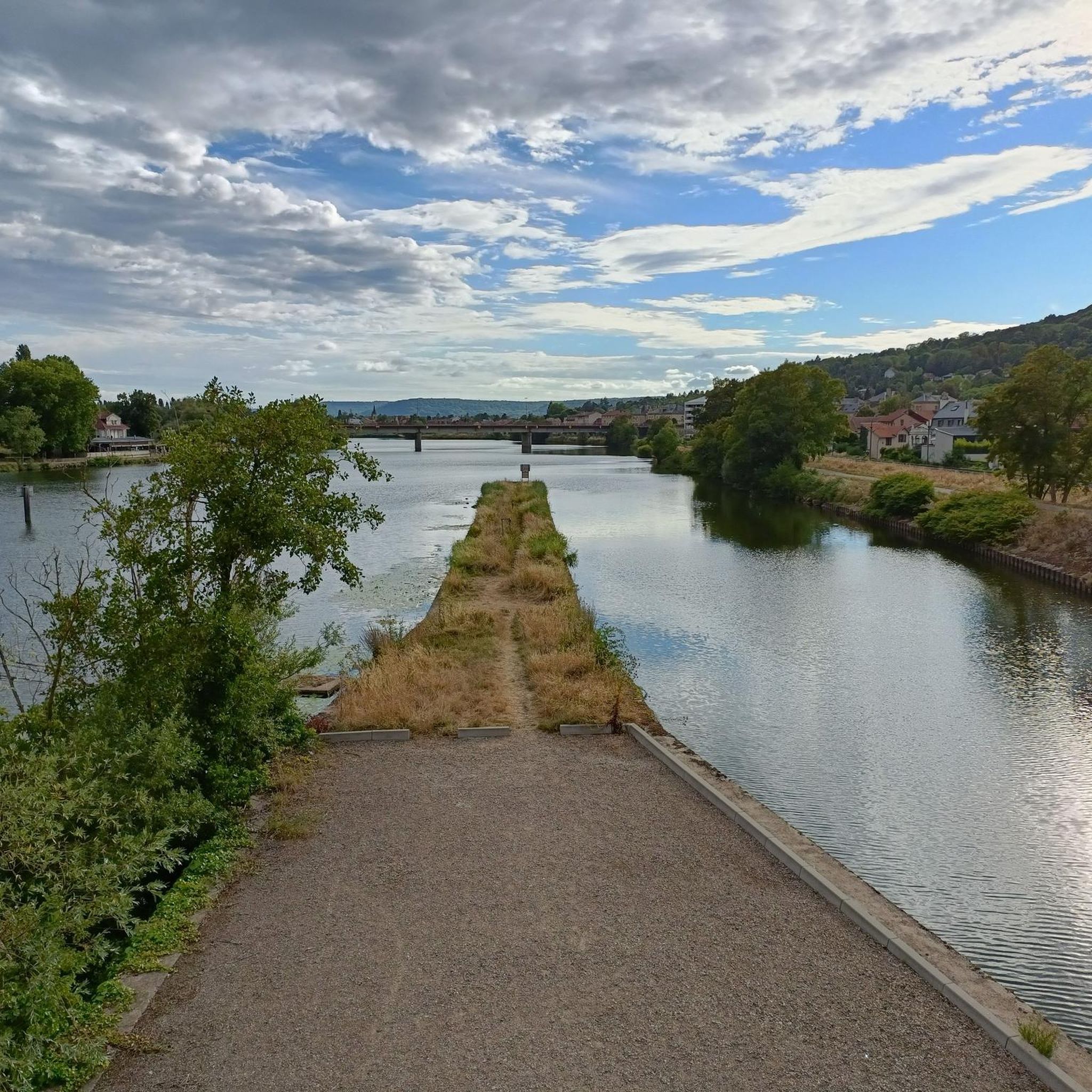
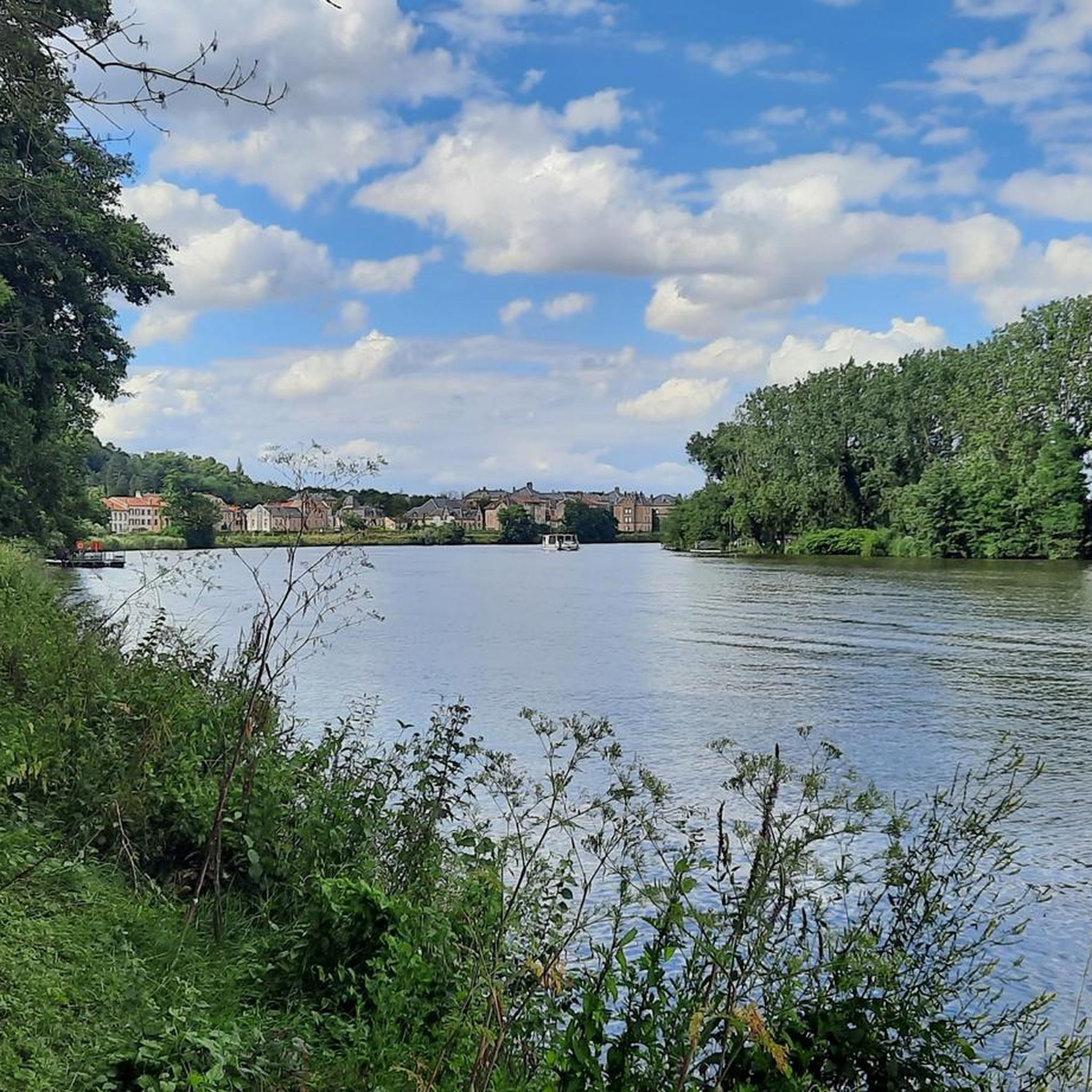
Absolutely! Routes along the Plan d'Eau de Metz and the Seille River offer picturesque waterside views. For a more varied landscape, consider routes that include areas like Col de Lessy, which provide elevated perspectives of the surrounding region.
What attractions or landmarks can I see while jogging in Montigny-Lès-Metz?
Many routes offer glimpses of historical and natural sights. You might pass by the ancient Gorze–Metz Roman Aqueduct, or see impressive structures like the Saint-Étienne Cathedral and the historic Porte des Allemands in nearby Metz. Some trails also lead near Mercy Castle.
Is public transport available to access the running trails?
Montigny-Lès-Metz is well-connected within the Metz Métropole area. Many routes start near urban centers, making them accessible by local bus services. Checking the local public transport network (Le Met') for specific route access points is recommended.
What do other runners say about jogging in Montigny-Lès-Metz?
The running routes in Montigny-Lès-Metz are highly rated by the komoot community, with an average score of 4.0 stars. Runners often praise the variety of terrain, from flat lakeside paths to routes with moderate hills, and the opportunities to enjoy both urban parks and natural waterways.
Are there any longer, more challenging running routes for experienced runners?
Yes, for experienced runners seeking a challenge, there are several difficult routes. The Seille spillway – Seille Dam loop from Montigny-lès-Metz is a demanding 16.1 km (10.0 miles) trail, and the Recreational lake loop from Alger offers an 18.2 km (11.3 miles) run with varied elevation.
Most popular routes around Montigny-Lès-Metz
Most popular attractions around Montigny-Lès-Metz

Get inspired with the komoot mobile app


Explore more
Browse the best Running Trails & Routes in other regions.
