The best running trails around Saint-Cassin
4.3
(337)
17,766
runners
13
runs
Jogging around Saint-Cassin offers diverse experiences across its varied topography, ranging from 350 meters to 1488 meters in elevation. The region features a mix of gently mountainous relief, extensive forests, and plateaus, providing a range of running trails. Nearly three-quarters of Saint-Cassin's surface is covered by both deciduous and coniferous forests, offering shaded routes. Waterways like the Hyères River and the Alberges stream also define parts of the landscape, adding natural landmarks to many jogging routes.
Best jogging routes around…
Last updated: October 4, 2026
16
runners
8.43km
00:57
230m
230m
Moderate run. Good fitness required. Mostly paved surfaces. Suitable for all skill levels.
4.0
(1)
14
runners
7.91km
00:58
250m
240m
Moderate run. Good fitness required. Mostly paved surfaces. Suitable for all skill levels.

5.0
(1)
11
runners
8.55km
00:59
280m
280m
Moderate run. Good fitness required. Mostly paved surfaces. Suitable for all skill levels.
10
runners
4.96km
00:34
150m
160m
Moderate run. Good fitness required. Mostly paved surfaces. Suitable for all skill levels.
7
runners
5.06km
00:33
100m
100m
Moderate run. Good fitness required. Mostly paved surfaces. Suitable for all skill levels.
Get access to more routes and recommendations from other explorers.
Already have an account?
Our route recommendations are based on thousands of hikes, rides, and runs completed by other people on komoot.
Start today with a free account
Your next adventure awaits.
Tips from the Community

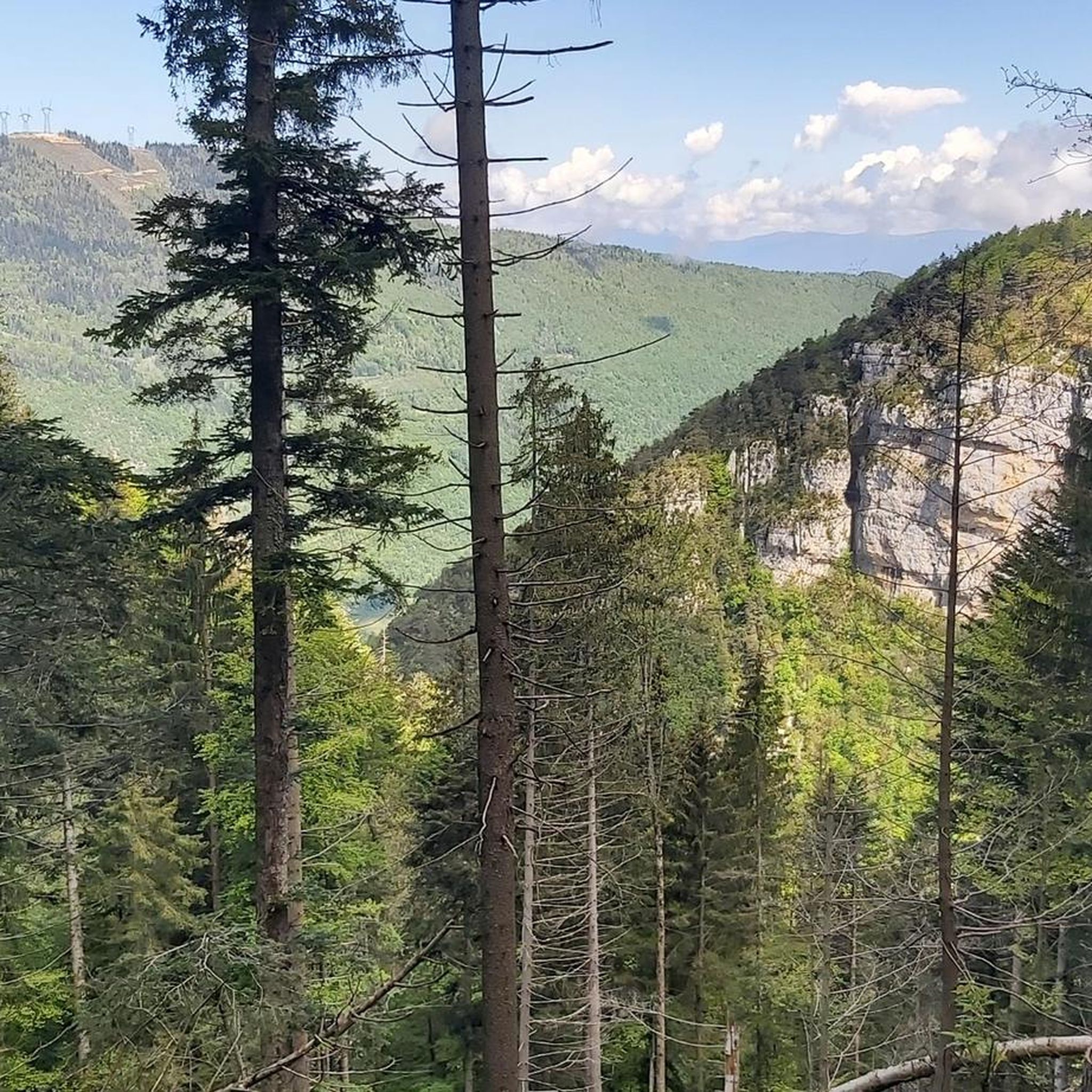
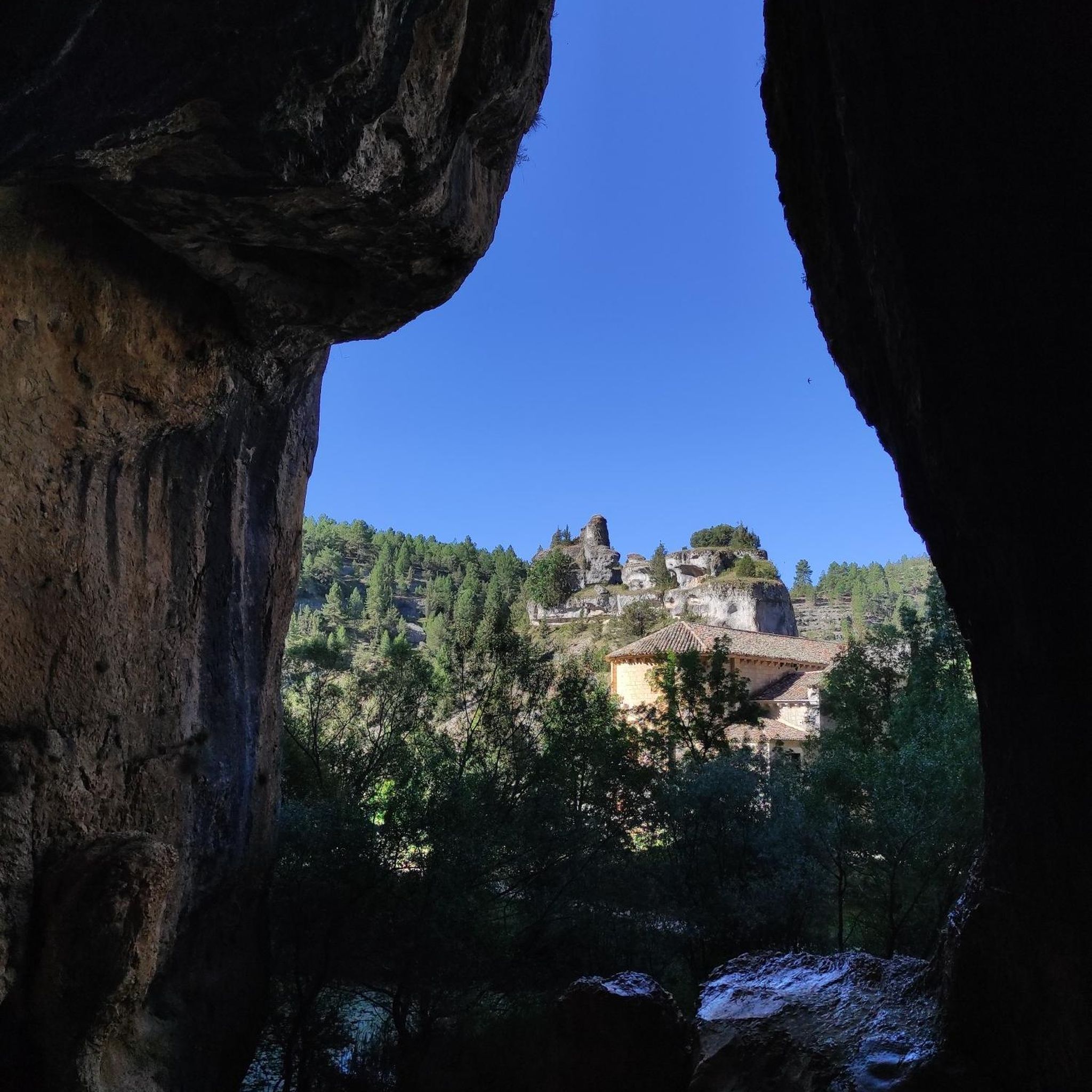
What a view towards Lake Bourget between the 2 mountains!
0
0
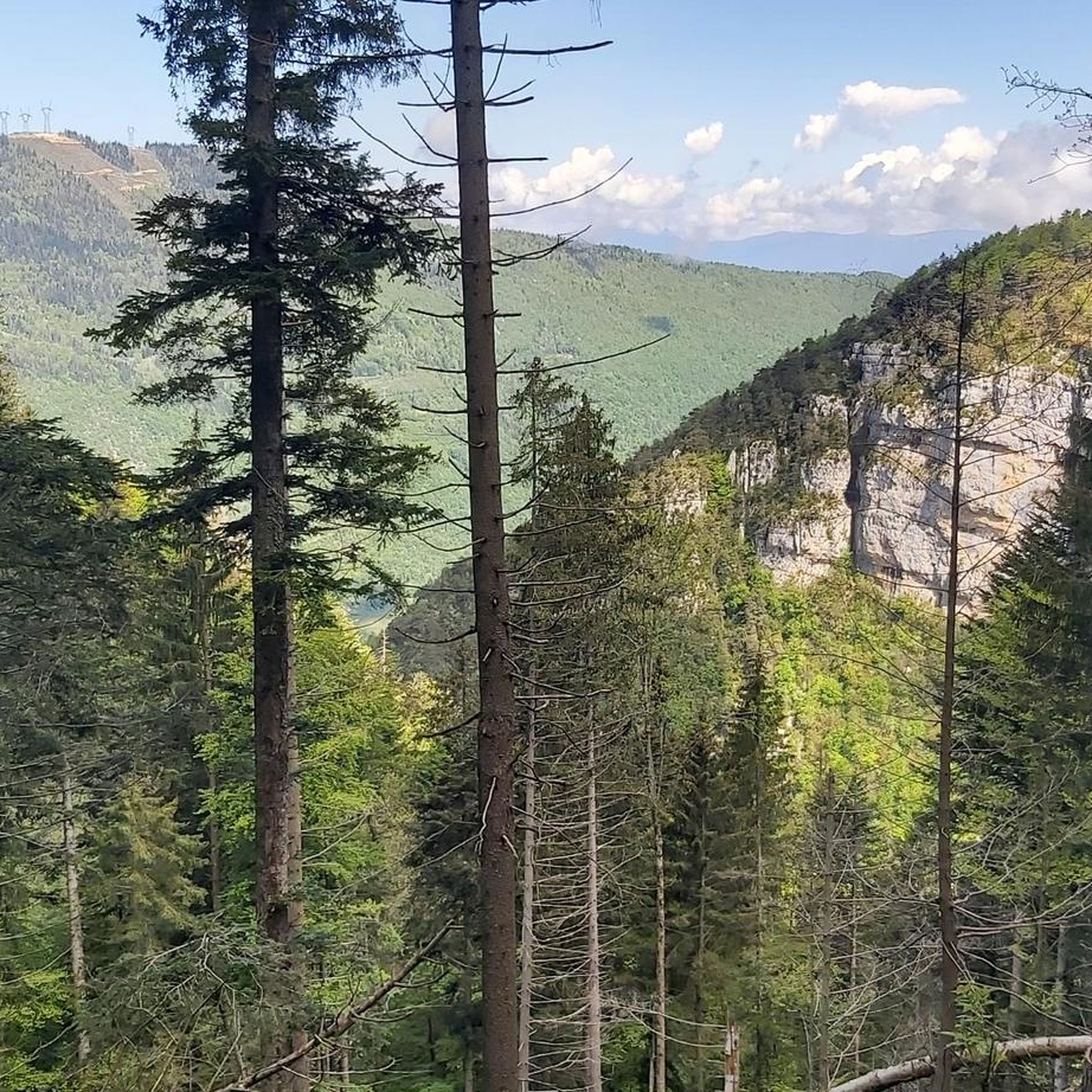
Small church which dominates the valley of Chambéry
0
0
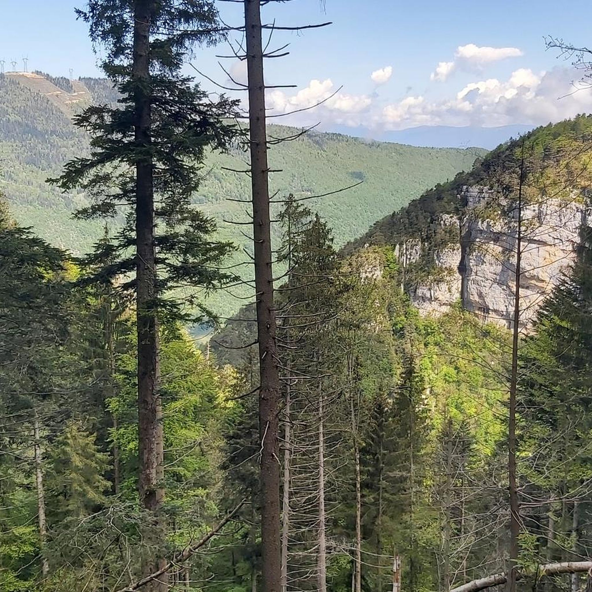
Small church of Savoy, which gives a beautiful view of Lake Bourget!
0
0
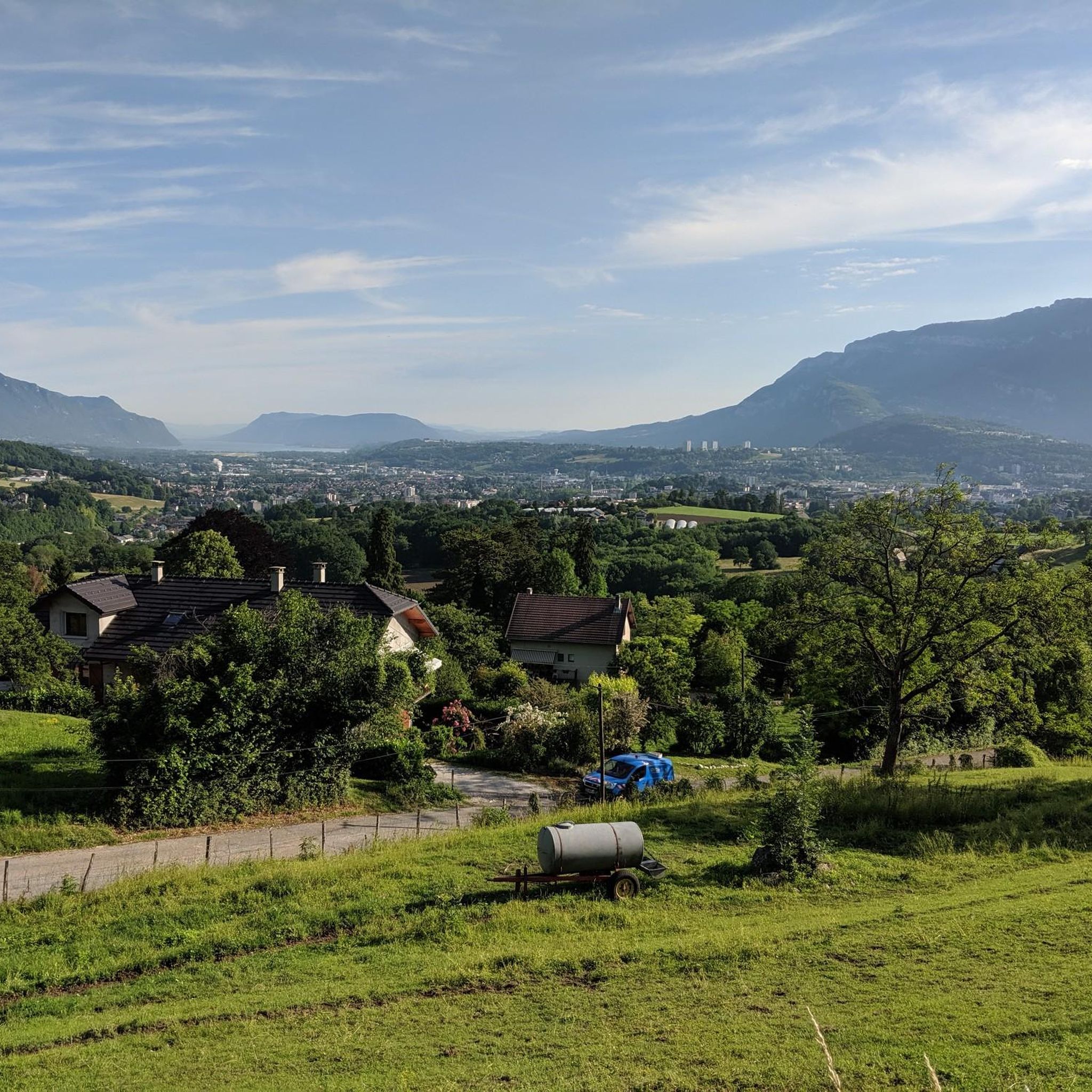
After the climb of the 1989 world cycling championships, a nice view of the Nivolet cross
0
0
Frequently Asked Questions
How many running routes are available around Saint-Cassin?
There are over 600 running routes available in and around Saint-Cassin, offering a wide variety of options for all skill levels. The area features a diverse landscape, from less steep paths on plateaus to more challenging ascents in mountainous terrain.
What kind of terrain can I expect on jogging routes in Saint-Cassin?
Jogging routes in Saint-Cassin offer a varied topography, ranging from 350 meters to 1488 meters in elevation. You can expect a mix of gently mountainous relief, extensive forests (both deciduous and coniferous), and plateaus. Many trails also follow waterways like the Hyères River and the Alberges stream, providing diverse running surfaces and scenic backdrops.
Are there running routes suitable for beginners or those looking for an easy jog?
Yes, Saint-Cassin offers numerous options for all fitness levels. Out of the over 600 routes, 55 are classified as easy, and 351 are moderate, providing plenty of choices for beginners or those seeking a less strenuous run. These often include paths on the northern and eastern plateaus.
Can I find challenging or long-distance running trails in the area?
Absolutely. For experienced runners seeking a challenge, there are 225 difficult routes available. One notable difficult trail is the Saint-Michel Pass – View of Lake Aiguebelette loop from Cognin, which covers 10.2 miles (16.4 km) and offers significant elevation gain with scenic views of Lake Aiguebelette.
Are there any running routes that pass by waterfalls or other natural landmarks?
Yes, the region is known for its natural beauty. The impressive Cascade de Couz (Couz Waterfall) is a significant natural attraction near the Hyères River. While not directly on a featured route, you can explore routes in the vicinity. Additionally, the Cascade de la Doriaz is another beautiful waterfall highlight in the broader area.
What do other runners say about the jogging trails in Saint-Cassin?
The running trails in Saint-Cassin are highly regarded by the komoot community, with an average rating of 4.3 stars from over 300 reviews. More than 17,000 runners have used komoot to explore the varied terrain, often praising the diverse landscapes, extensive forests, and scenic waterways that define the routes.
Are there any circular running routes around Saint-Cassin?
Yes, many routes in the area are designed as loops, perfect for circular runs. For example, the Saint Cassin Church – Lac du Bourget in the valley loop from Saint-Cassin is a moderate 5.2-mile (8.4 km) trail that takes you through the valley towards Lac du Bourget. Another option is the Lac du Bourget in the valley loop from Saint-Cassin, an 8.2 km moderate route.
Are there family-friendly jogging routes in Saint-Cassin?
While specific 'family-friendly' designations aren't always explicit, the numerous easy and moderate routes, particularly those on the less steep plateaus or along the rivers, are generally suitable for families. These paths often provide shaded sections through forests, making them pleasant for all ages.
Are the running trails in Saint-Cassin dog-friendly?
Many natural trails in the Saint-Cassin area are suitable for running with dogs, especially those through the extensive forests and along waterways. It's always advisable to keep dogs on a leash, especially in areas with wildlife or near agricultural land, and to check local regulations for specific trails.
What are some scenic viewpoints or landmarks I can see while running?
The varied topography of Saint-Cassin offers several scenic points. You might encounter views of peaks like La Gorgeat, La Lentille, and Le Corbeley. Some routes, like the Saint-Michel Pass – View of Lake Aiguebelette loop from Cognin, offer stunning vistas of Lac d'Aiguebelette. Other highlights include the Voues de l'Épine Viewpoint and the View of Lac d'Aiguebelette from Saint-Alban-de-Montbel Church.
Is there parking available at the trailheads for running routes?
While specific parking information for every trailhead isn't provided, Saint-Cassin is a commune with various access points to its natural areas. It's generally possible to find parking near villages or designated starting points for popular routes. We recommend checking the individual route details on komoot for specific parking suggestions.
Can I access running routes in Saint-Cassin using public transport?
Saint-Cassin is located near Chambéry, which serves as a regional transport hub. While direct public transport to every trailhead might be limited, it's often possible to reach the vicinity of some routes via local bus services from Chambéry. For routes starting directly from Saint-Cassin village, local transport options may be available.
What is the best time of year to go jogging in Saint-Cassin?
Saint-Cassin offers pleasant jogging conditions through much of the year. Spring and autumn provide mild temperatures and beautiful scenery, with changing foliage in the extensive forests. Summer is also suitable, especially on shaded trails, but be mindful of warmer temperatures. Winter can offer unique experiences, though some higher elevation trails might be affected by snow or ice.
Most popular routes around Saint-Cassin
Most popular attractions around Saint-Cassin

Get inspired with the komoot mobile app


Explore more
Browse the best Running Trails & Routes in other regions.
