The best road cycling routes around Habère-Poche
4.5
(82)
3,358
riders
56
rides
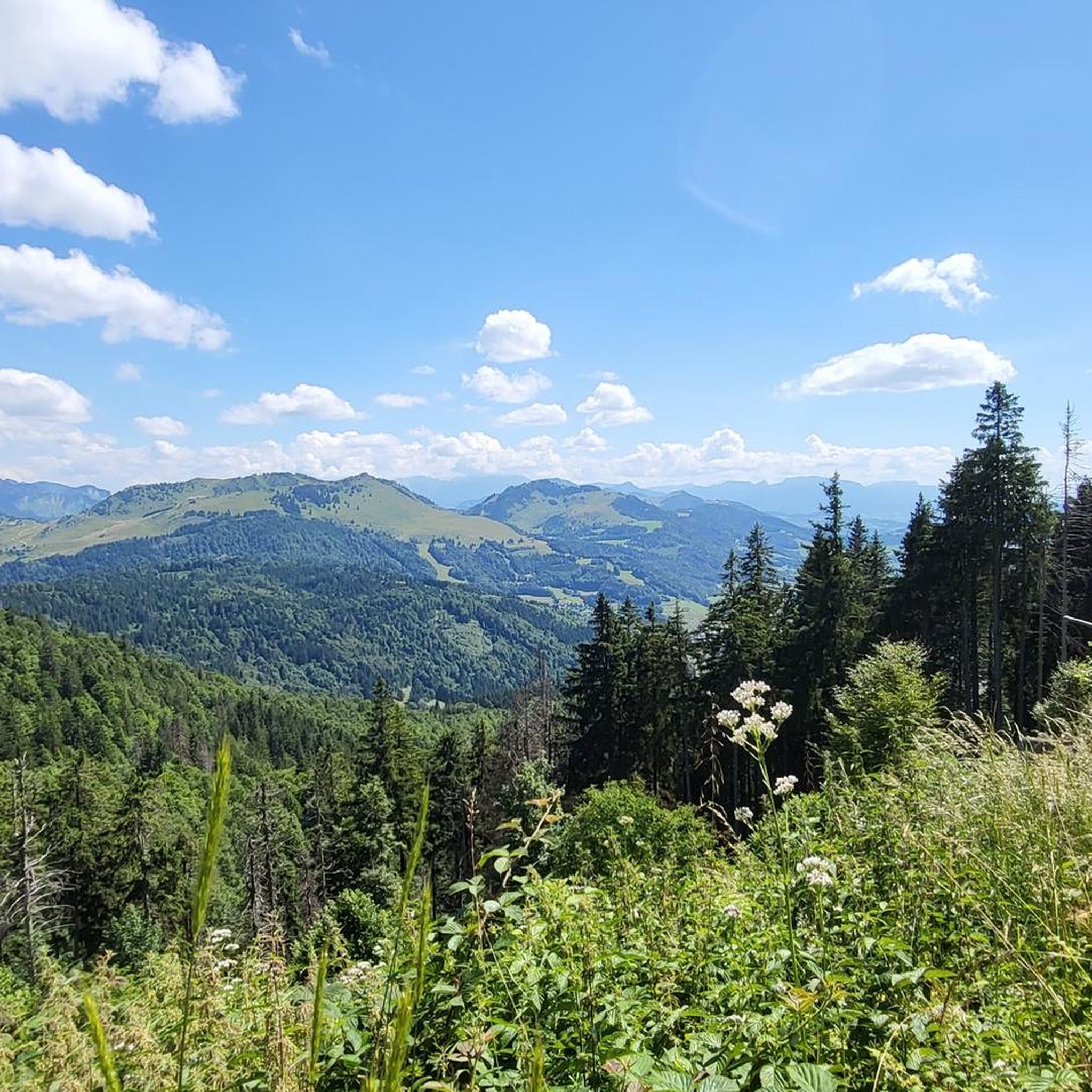
Road cycling around Habère-Poche is defined by its location in the French Chablais Prealps, offering a landscape of mountain passes and rolling hills within the Vallée Verte. The region features varied terrain, including ascents to cols such as Col de Cou and Col des Moises, and descents through valleys. Road cyclists can expect routes with significant elevation changes, dense forests, open mountain pastures, and panoramic views, often including glimpses of nearby Lake Geneva.
Best road cycling routes in Habère-Poche
- The…
Last updated: October 9, 2026
433
riders
123km
06:47
2,590m
2,590m
Hard road ride. Very good fitness required. Mostly well-paved surfaces and easy to ride.
4.6
(7)
260
riders
56.6km
02:48
880m
880m
Moderate road ride. Good fitness required. Mostly well-paved surfaces and easy to ride.

4.3
(3)
57
riders
29.3km
01:41
690m
690m
Moderate road ride. Good fitness required. Mostly well-paved surfaces and easy to ride.
5.0
(2)
66
riders
50.6km
03:15
1,400m
1,410m
Hard road ride. Very good fitness required. Mostly well-paved surfaces and easy to ride.
43
riders
57.7km
03:25
1,460m
1,460m
Hard road ride. Very good fitness required. Mostly well-paved surfaces and easy to ride.
Get access to more routes and recommendations from other explorers.
Already have an account?
Our route recommendations are based on thousands of hikes, rides, and runs completed by other people on komoot.
Start today with a free account
Your next adventure awaits.

Other adventures around Habère-Poche

Tips from the Community


Panel indicating the data for the ascent of the Col, which marks its starting point.
0
0

One of the quietest, wildest and most beautiful passes in Chablais!
1
0


Forest road that winds between the Chablais mountains, magnificent 👌
0
0
Frequently Asked Questions
How many road cycling routes are available around Habère-Poche?
The Habère-Poche region offers over 50 road cycling routes, providing a diverse range of options for cyclists. These include 6 easy routes, 31 moderate routes, and 21 difficult routes.
Are there road cycling routes suitable for beginners in Habère-Poche?
Yes, Habère-Poche has 6 easy road cycling routes. These routes are generally shorter and feature less elevation gain, making them ideal for those new to road cycling or looking for a more relaxed ride.
What kind of terrain can I expect on road cycling routes around Habère-Poche?
Road cycling around Habère-Poche is characterized by its location in the French Alps foothills. You can expect varied terrain, including significant ascents to mountain passes like Col de Cou and Jambaz Pass, rolling hills, and descents through scenic valleys. Many routes also offer panoramic views, often including glimpses of nearby lakes.
Are there any circular road cycling routes in the Habère-Poche area?
Yes, many routes in the region are designed as loops. For example, the Col du Feu – Jambaz Pass loop from Perrignier is a challenging 76.3-mile route, while the Col de Saxel (944 m) – Lake view loop from Habère-Poche offers a moderate 35.2-mile option with scenic views.
What are some notable viewpoints or attractions along the road cycling routes?
The routes often feature stunning viewpoints and pass by significant landmarks. You can enjoy lake views from routes like the Col de Saxel (944 m) – Lake view loop from Habère-Poche. Other notable points of interest include mountain passes such as Mount Forchat, Col de Saxel, and the historic Saint Bruno Chapel.
What is the best time of year for road cycling in Habère-Poche?
Given its location in the French Alps foothills, the warmer months, typically from late spring to early autumn, offer the most favorable conditions for road cycling in Habère-Poche. During this period, mountain passes are generally clear of snow, and the weather is more stable, providing pleasant temperatures for longer rides.
Are there any road cycling routes that include a good stop for coffee or a bakery?
Yes, local cyclists often plan routes around convenient stops. The Jambaz Pass – Best bakery/coffee stop around loop from Habère-Lullin is specifically designed to incorporate a popular stop, making it a great option for a ride that includes a refreshment break.
What do other road cyclists enjoy most about road cycling in Habère-Poche?
The area is highly rated by the komoot community, with an average score of 4.6 stars from over 50 reviews. Reviewers often praise the diverse terrain, the challenge of the mountain passes, and the panoramic views, especially those including the surrounding lakes.
What are some challenging road cycling routes for experienced riders?
Experienced riders will find plenty of challenging options. The Col du Feu – Jambaz Pass loop from Perrignier is a difficult 76.3-mile route with significant elevation gain. Another demanding option is the Jambaz Pass – Col du Feu loop from Villard, covering 31.5 miles with substantial climbing.
Are there any moderate-difficulty road cycling routes that offer good views?
Absolutely. The Col de Saxel (944 m) – Lake view loop from Habère-Poche is a moderate 35.2-mile route that includes a climb to Col de Saxel and offers beautiful views of the surrounding lake and landscape. Another moderate option is the Col de Cou – Col des Moises loop from Perrignier.
Most popular routes around Habère-Poche
Most popular attractions around Habère-Poche

Get inspired with the komoot mobile app


Explore more
Browse the best Road cycling routes in other regions.
