The best walks and hikes around Habère-Poche
4.5
(288)
2,252
hikers
43
hikes
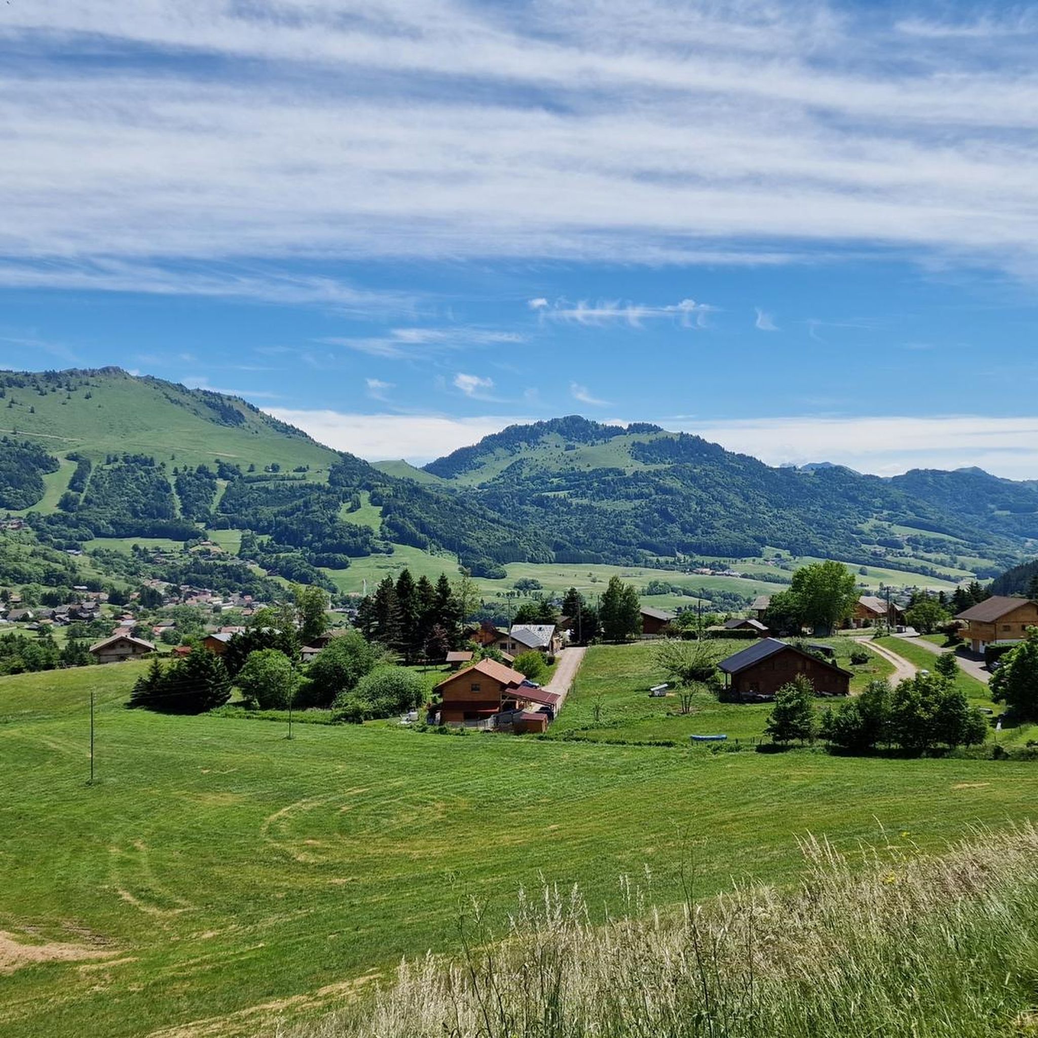
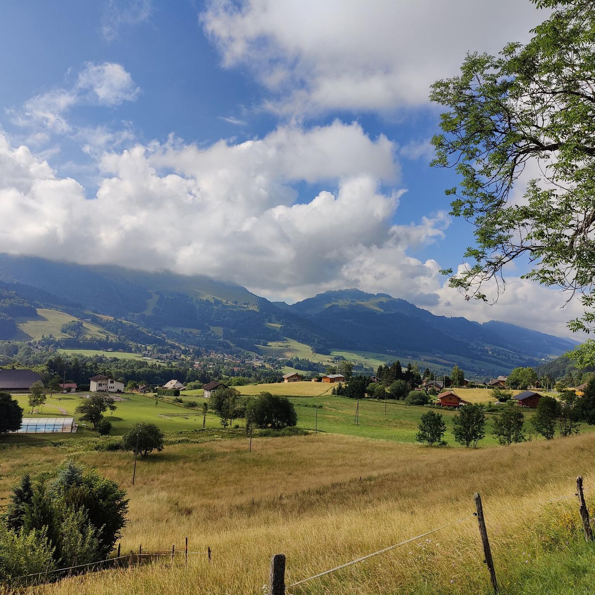
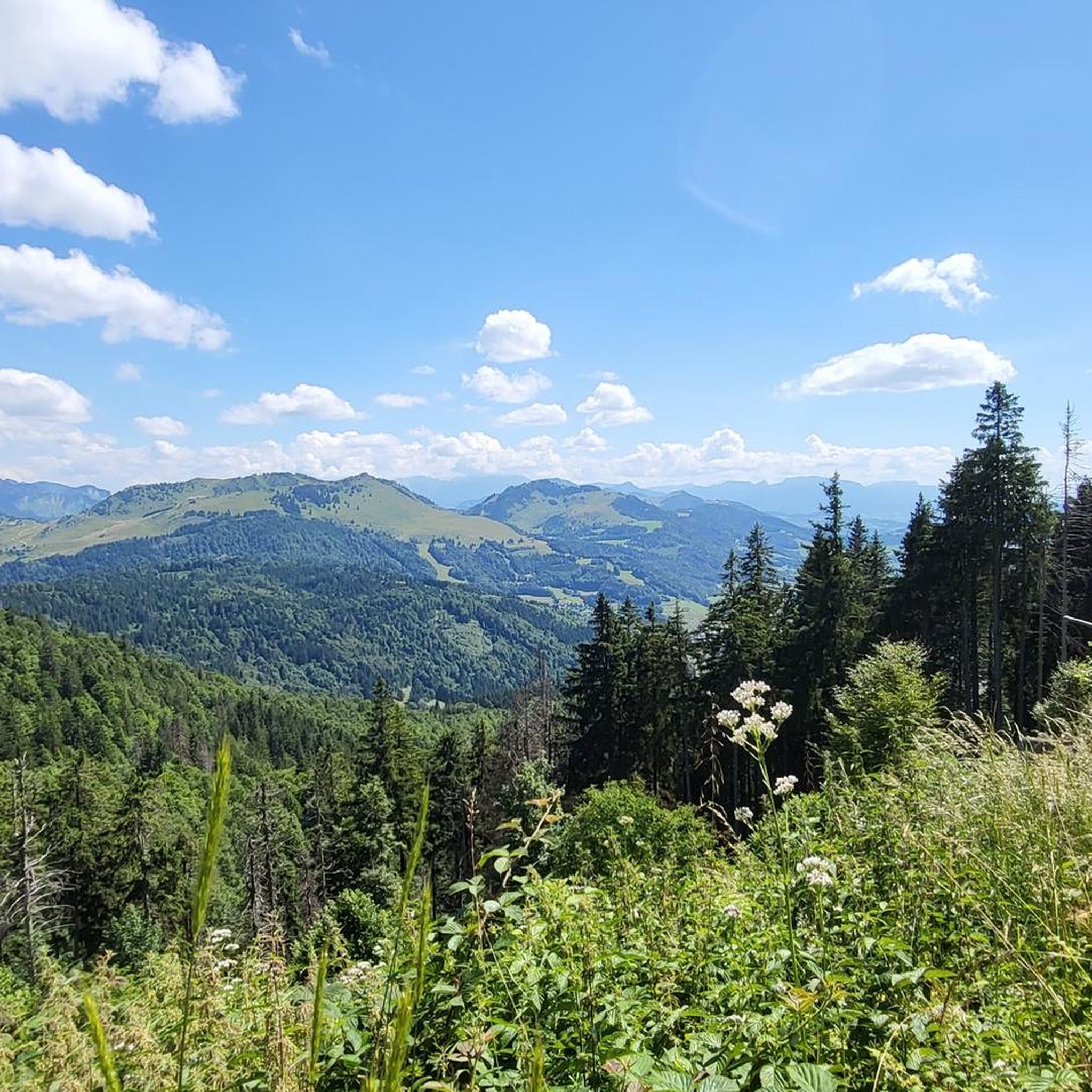
Hiking around Habère-Poche provides access to diverse landscapes within the Vallée Verte, situated in the French Chablais Prealps. The region is characterized by impressive summits like Mont Forchat and Hirmentaz, offering panoramic views of Lake Geneva and the Mont Blanc massif. Trails often follow the Menoge river, pass through forests such as the Turche wood, and connect traditional hamlets. The area is also defined by several mountain passes, including Col de Cou and Col des Moises, which serve as starting points for many routes.
Best hiking trails around Habère-Poche
- The most popular hiking route is Encrenaz Pass – Mount Forchat loop from Col de Cou, a 4.9 miles (8.0 km) trail that takes 2 hours 55 minutes to complete. This moderate route ascends to Mont Forchat, known for its panoramic views.
- Another top favourite among local hikers is Col du Feu – Mount Forchat loop from Col des Moises, a difficult 10.1 miles (16.2 km) path. This route features significant elevation gain and offers extensive views across the region.
- Local hikers also love the Mount Forchat – Encrenaz Pass loop from Col des Arces, a 4.3 miles (6.8 km) trail leading through varied mountain terrain, often completed in about 2 hours 35 minutes.
- Hiking around Habère-Poche is defined by mountain passes, views of Lake Geneva, and forested paths, with options for both easy strolls and challenging ascents. The network offers routes suitable for various ability levels, from moderate loops to difficult summit trails.
- The routes in Habère-Poche are highly rated by the komoot community with an average score of 4.4 stars from over 150 reviews. More than 1000 hikers have used komoot to explore Habère-Poche's varied terrain.
Last updated: October 12, 2026
4.4
(38)
243
hikers
7.96km
02:55
470m
470m
Moderate hike. Good fitness required. Mostly accessible paths. Sure-footedness required.
4.8
(31)
162
hikers
8.13km
02:58
490m
490m
Moderate hike. Good fitness required. Mostly accessible paths. Sure-footedness required.

4.6
(28)
242
hikers
16.3km
05:26
760m
760m
Hard hike. Very good fitness required. Easily-accessible paths. Suitable for all skill levels.
4.4
(18)
166
hikers
11.0km
03:34
470m
470m
Moderate hike. Good fitness required. Mostly accessible paths. Sure-footedness required.
4.2
(5)
94
hikers
9.60km
03:37
490m
490m
Hard hike. Good fitness required. Sure-footedness, sturdy shoes and alpine experience required.
Get access to more routes and recommendations from other explorers.
Already have an account?
Our route recommendations are based on thousands of hikes, rides, and runs completed by other people on komoot.
Start today with a free account
Your next adventure awaits.

Other adventures around Habère-Poche

Tips from the Community

Nice but steep climb for 300 m
0
0

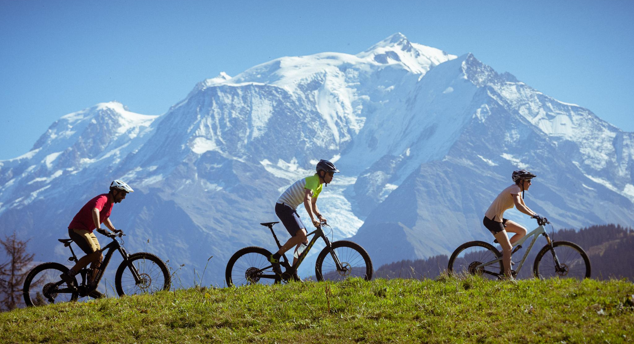
A route for mountain bikers that invites you to explore the Vallée Verte between alpine meadow panoramas and forest passages.
0
0


Beautiful views into the depths and beyond.
2
0

After the effort, your reward at the top of the Col du Feu is a magnificent view of the peaks of the Chablais massif and Lake Geneva.
1
0

In addition to the spiritual aspect, there are many benches around this chapel which allow you to eat a frugal (or not) snack.
0
0

The Col de l'Encrenaz is 1429m high, which is 120m lower than the Mont Forchat, which can be easily reached from here. The path is steep, but not so steep that you can't walk any more.
1
0
Frequently Asked Questions
How many hiking trails are available around Habère-Poche?
Habère-Poche offers a wide selection of hiking opportunities, with over 30 trails available. These routes cater to various skill levels, from easy strolls to more challenging ascents.
What kind of landscapes can I expect to see while hiking in Habère-Poche?
Hiking in Habère-Poche, nestled in the Vallée Verte of the French Chablais Prealps, offers diverse landscapes. You'll encounter impressive summits like Mont Forchat and Hirmentaz, providing panoramic views of Lake Geneva and the majestic Mont Blanc massif. Trails often follow the Menoge river, wind through dense forests such as the Turche wood, and connect charming traditional hamlets with chalets and chapels.
Are there easy hiking trails suitable for beginners or families in Habère-Poche?
Yes, Habère-Poche has several easy hiking trails perfect for beginners or families. An example is "La boucle des Habères," an easy stroll that follows the Menoge river and passes by the small Lac de la Crossetaz. Another option is the "Descente de la Menoge," which is also an easy hike along the river, allowing you to discover the Vallée Verte.
Are there challenging hikes for experienced hikers in Habère-Poche?
For experienced hikers seeking a challenge, Habère-Poche offers several difficult routes. The Col du Feu – Mount Forchat loop from Col des Moises is a difficult 16.2 km path with significant elevation gain, providing extensive views. Another challenging option is the Hiking loop from Habère-Lullin.
Can I find circular hiking routes in the Habère-Poche area?
Yes, circular routes are a prominent feature of hiking in Habère-Poche. Many trails are designed as loops, allowing you to start and end at the same point. Popular examples include the Encrenaz Pass – Mount Forchat loop from Col de Cou and the Mount Forchat – Encrenaz Pass loop from Col des Arces. The region also features "La boucle des Arces" and "La boucle des Habères" which are well-known circular trails.
What natural features or landmarks can I explore on the trails around Habère-Poche?
The trails around Habère-Poche offer access to several notable natural features and landmarks. You can reach the summit of Mount Forchat, known for its panoramic views of Lake Geneva and Mont Blanc. Other points of interest include the picturesque Menoge river, the small Lac de la Crossetaz, and the traditional hamlets nestled within the Turche wood. The area is also defined by mountain passes like Col de Cou and Col des Moises, which serve as excellent starting points for hikes.
What is the best time of year to go hiking in Habère-Poche?
Habère-Poche is an ideal year-round destination for outdoor activities. While spring to autumn offers lush greenery and pleasant temperatures for hiking, winter transforms the landscape, making routes like Mont Forchat popular for snowshoeing. The diverse terrain ensures there's always something to explore, regardless of the season.
Are there any specific trails that offer the best panoramic views?
For breathtaking panoramic views, the trails leading to Mont Forchat are highly recommended. This iconic summit provides one of the few locations for a complete panorama of Lake Geneva, stretching from Geneva to Le Bouveret, as well as clear views of the Mont Blanc massif. The Hirmentaz Mountain ridge also offers incredible vistas of both Mont Blanc and Lake Geneva.
What do other hikers enjoy the most about hiking in Habère-Poche?
The hiking trails in Habère-Poche are highly rated by the komoot community, with an average score of 4.4 stars from over 150 reviews. Hikers frequently praise the diverse terrain, the stunning panoramic views of Lake Geneva and Mont Blanc, and the well-preserved natural environment of the Vallée Verte. The variety of routes, from easy riverside walks to challenging summit ascents, is also a key highlight.
Is it possible to access hiking trails in Habère-Poche using public transport?
While specific public transport routes directly to all trailheads might be limited, Habère-Poche is generally accessible. Many trails start from mountain passes like Col de Cou, Col des Moises, Col des Arces, and Col de Terramont, which can sometimes be reached by local bus services or offer parking facilities. It's advisable to check local transport schedules for the most up-to-date information on reaching specific starting points.
Are there any trails that pass through traditional hamlets or offer cultural insights?
Yes, several trails in Habère-Poche allow you to discover the region's rich rural heritage. "La boucle des Arces" leads through traditional hamlets and the Turche wood, showcasing charming chalets and chapels. "La boucle des Habères" offers opportunities to visit the Habère-Lullin church and the Red Christmas memorial, providing a glimpse into the local history and culture.
Most popular routes around Habère-Poche
Most popular attractions around Habère-Poche

Get inspired with the komoot mobile app


Explore more
Browse the best Hikes in other regions.
