The best running trails around Maulévrier-Sainte-Gertrude
4.4
(59)
2,860
runners
284
runs
Jogging around Maulévrier-Sainte-Gertrude offers access to a network of scenic trails and natural beauty. The region is characterized by its countryside, green spaces, and riverside paths, including a route along the Fontenelle river. These running trails in Maulévrier-Sainte-Gertrude cater to various fitness levels, from easy paths to more challenging routes with significant elevation changes. The diverse terrain provides varied experiences for runners exploring the area.
Best jogging routes around Maulévrier-Sainte-Gertrude
- The most popular jogging route is Villequier – Caudebec-en-Caux loop…
Last updated: July 5, 2026
120
runners
12.5km
01:18
50m
50m
Moderate run. Good fitness required. Mostly paved surfaces. Suitable for all skill levels.
83
runners
15.0km
01:50
330m
330m
Hard run. Very good fitness required. Mostly paved surfaces. Suitable for all skill levels.

Sign up for free
37
runners
16.6km
02:05
330m
330m
Hard run. Very good fitness required. Mostly paved surfaces. Suitable for all skill levels.
3.0
(1)
19
runners
18.0km
02:15
540m
540m
Hard run. Very good fitness required. Mostly paved surfaces. Suitable for all skill levels.
16
runners
31.7km
04:07
970m
970m
Hard run. Very good fitness required. Mostly paved surfaces. Suitable for all skill levels.
Get access to more routes and recommendations from other explorers.
Sign up for free
Already have an account?
Our route recommendations are based on thousands of hikes, rides, and runs completed by other people on komoot.
Start today with a free account
Your next adventure awaits.
Login or Signup


Tips from the Community


I loved it, it's a shame that once we got to 500m from the ferry we had to make a big detour by road to take the Quellebeuf ferry to get to Pont Audemer... but I'd do it again
0
0

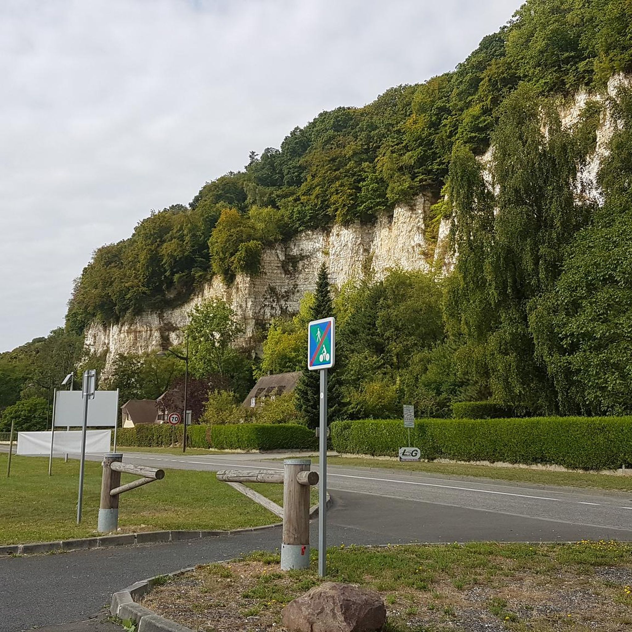
The banks of the Seines are exceptional and do not present any particular difficulties.
1
0

The Grand Parade of boats along the Seine from Rouen to Le Havre: ARMADA 2023
2
0

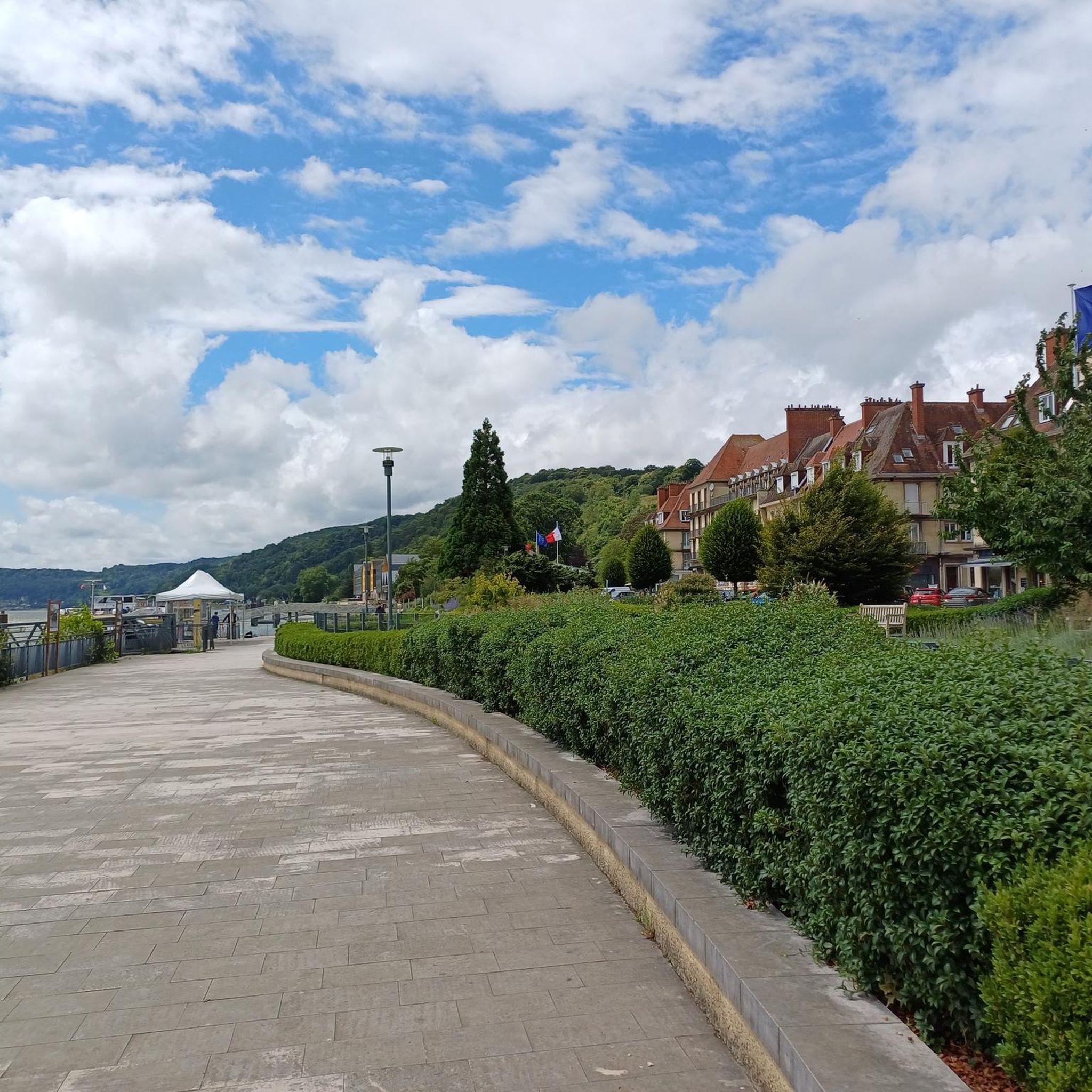
Caudebec-en-Caux is a very beautiful town with a rich cultural heritage. A flowery town in Normandy that impresses with its architecture.
0
0

It is also exciting to watch the Seine at different times of the day. It changes its direction of flow depending on the ebb / flow.
7
0

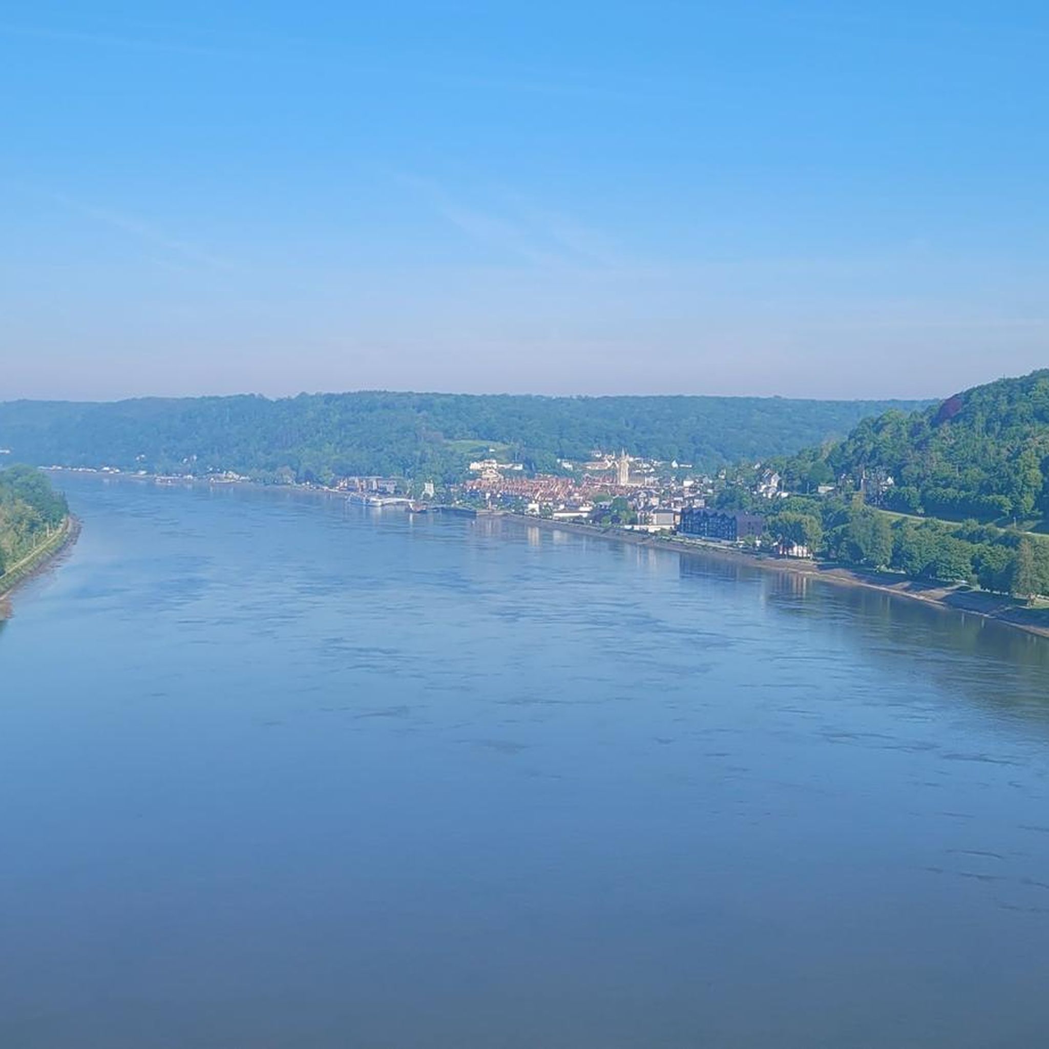
Caudebec is picturesquely located on the Seine and has a few pretty lanes. From here you have a great view of the huge bridge of Brotonne. On the promenade there is a mini golf course, which is built like a model landscape of the Seine with its bridges. In addition, the church is interesting for the small town with its filigree facade. In the bakery (Boulangerie) Dufeuille on the promenade there are very good bread and great cakes. Just above Caudebec is a unique restaurant, the G. a. Eating there is a unique experience, though not suitable for a small budget. http://restaurant-ga.fr/
3
1
Frequently Asked Questions
How many running routes are available in Maulévrier-Sainte-Gertrude?
There are over 280 running routes around Maulévrier-Sainte-Gertrude, catering to a wide range of fitness levels. This includes 22 easy routes, 226 moderate routes, and 37 more challenging trails.
What kind of terrain can I expect on the running trails around Maulévrier-Sainte-Gertrude?
The region offers diverse terrain, from tranquil riverside paths, such as those along the renatured Fontenelle river, to expansive green spaces and varied countryside. You'll find routes suitable for different preferences, from flat stretches to paths with significant elevation changes.
Are there any easy or beginner-friendly jogging routes in the area?
Yes, Maulévrier-Sainte-Gertrude offers 22 easy running routes perfect for beginners or those looking for a relaxed jog. These trails typically have minimal elevation gain and are suitable for all levels.
What do other runners enjoy most about jogging in Maulévrier-Sainte-Gertrude?
The running routes in Maulévrier-Sainte-Gertrude are highly rated by the komoot community, with an average score of 4.4 stars from over 40 reviews. Runners often praise the scenic beauty, the variety of terrain, and the peaceful atmosphere of the countryside and riverside paths.
Are there any circular running routes available?
Yes, many of the routes in Maulévrier-Sainte-Gertrude are circular, offering convenient starting and ending points. For example, the Villequier – Caudebec-en-Caux loop from Caudebec-en-Caux is a popular moderate circular route.
Can I find running routes that pass by interesting landmarks or attractions?
Absolutely. Some routes offer views of local points of interest. For instance, the Abbaye Saint-Wandrille – Saint-Wandrille Abbey loop from Caudebec-en-Caux takes you near the historic Abbaye Saint-Wandrille. Other nearby attractions include Caudebec-en-Caux and the Brotonne Bridge.
Are there any challenging running routes for experienced runners?
Yes, for experienced runners seeking a challenge, there are 37 difficult routes available. These trails often feature significant elevation changes and cover longer distances, such as the Church in Caudebec-en-Caux – Caudebec-en-Caux loop from Aire des Vaux, which is over 16 km long with substantial climbs.
Are the running routes in Maulévrier-Sainte-Gertrude suitable for families?
Many of the easy and moderate routes are suitable for families, especially those looking for a gentle walk or a light jog. The region's green spaces and riverside paths provide a pleasant environment for outdoor activities with children.
Is there parking available near the running trails?
While specific parking details vary by route, many trailheads and popular starting points in and around Maulévrier-Sainte-Gertrude, especially in towns like Caudebec-en-Caux, offer convenient parking options for runners.
Can I access the running trails using public transport?
Public transport options to reach trailheads may be limited in some rural areas. However, larger towns like Caudebec-en-Caux, which serve as starting points for several routes, generally have better public transport connections. It's advisable to check local transport schedules for specific routes.
Are there any running routes that offer significant elevation gain?
Yes, for those looking to incorporate hill training or enjoy panoramic views, routes like the Villequier loop from Maulévrier-Sainte-Gertrude offer substantial elevation gain, with nearly 1000 meters of ascent over its 31 km distance.
What is the longest running route in this guide?
The longest route featured in this guide is the Villequier loop from Maulévrier-Sainte-Gertrude, which spans over 31 kilometers and is classified as difficult due to its length and significant elevation changes.
Most popular routes around Maulévrier-Sainte-Gertrude
Most popular attractions around Maulévrier-Sainte-Gertrude

Get inspired with the komoot mobile app


Explore more
Browse the best Running Trails & Routes in other regions.
