The best road cycling routes around Maulévrier-Sainte-Gertrude
4.1
(99)
1,984
riders
351
rides
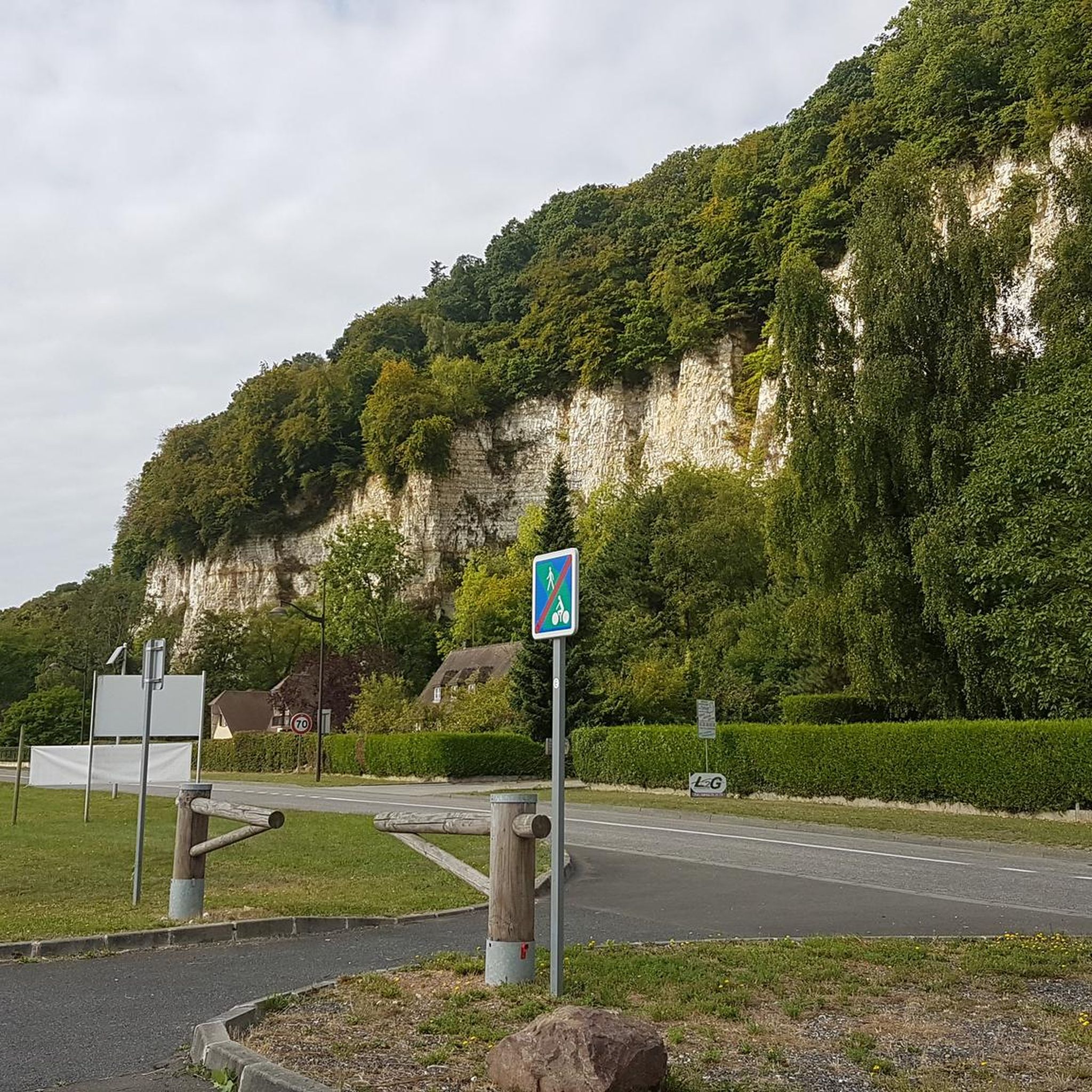
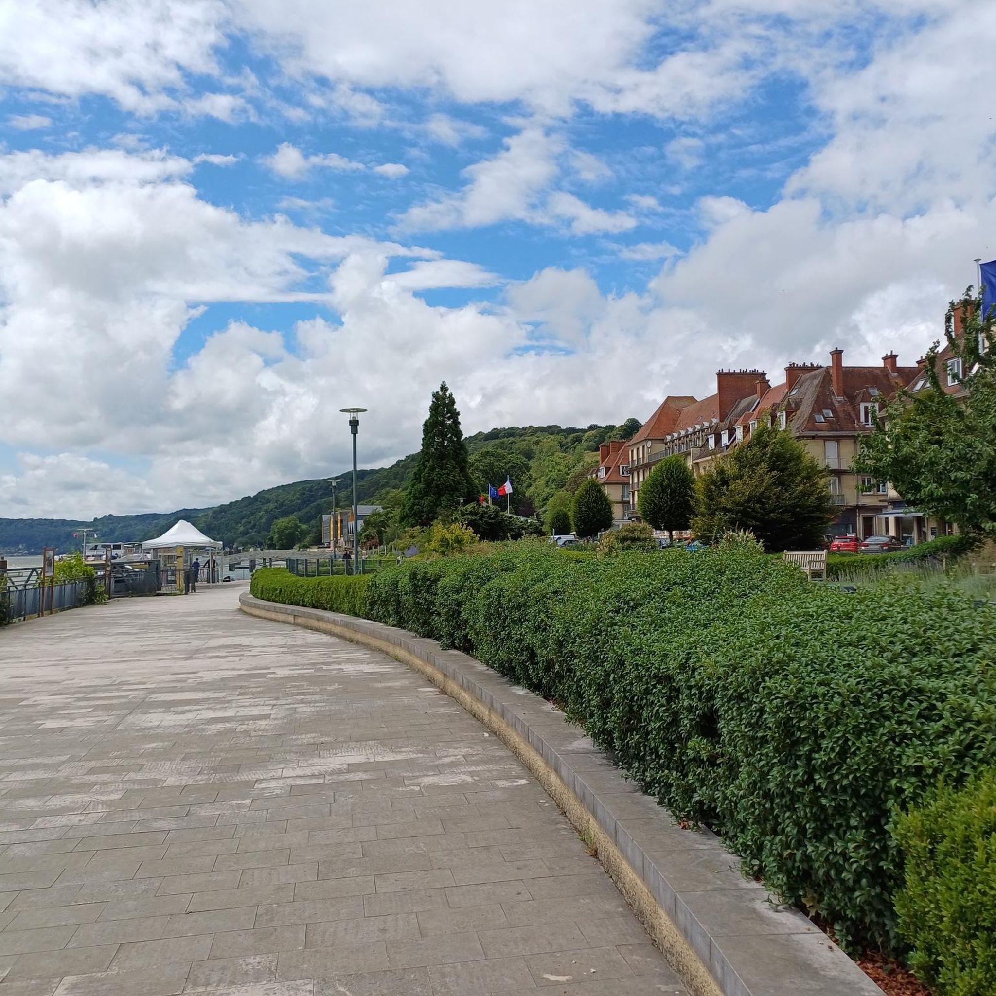
Road cycling routes around Maulévrier-Sainte-Gertrude traverse a diverse landscape within the Seine-Maritime department of Normandy, France. The terrain features a mix of dense woodlands, such as the Forêt du Trait-Maulévrier, and open agricultural plains. Cyclists encounter varied elevations, from gentle river paths along the Seine to more challenging sections with hills and slopes. The region also includes parts of the Parc Naturel Régional des Boucles de la Seine Normande, offering scenic routes through chalk cliffs, pastures, and orchards.
Best road…
Last updated: July 5, 2026
4.7
(3)
77
riders
51.1km
01:58
140m
140m
Easy road ride. Great for any fitness level. Mostly well-paved surfaces and easy to ride.
35
riders
69.4km
02:52
450m
450m
Moderate road ride. Good fitness required. Mostly well-paved surfaces and easy to ride.

Sign up for free
4.0
(1)
36
riders
61.2km
02:34
420m
420m
Moderate road ride. Good fitness required. Mostly well-paved surfaces and easy to ride.
4.0
(1)
13
riders
31.0km
01:20
270m
270m
Easy road ride. Great for any fitness level. Mostly well-paved surfaces and easy to ride.
10
riders
104km
04:33
770m
770m
Moderate road ride. Good fitness required. Some segments of this route may be unpaved and difficult to ride.
Get access to more routes and recommendations from other explorers.
Sign up for free
Already have an account?
Our route recommendations are based on thousands of hikes, rides, and runs completed by other people on komoot.
Start today with a free account
Your next adventure awaits.
Login or Signup



Tips from the Community

Amazing city crisscrossed by multiple canals or streams of the Risle.
0
0

Now part of the Collection https://www.komoot.com/de-de/collection/3600632/-naturdenkmaeler-besondere-baeume-und-weitere-schaetze-der-natur
0
0


I loved it, it's a shame that once we got to 500m from the ferry we had to make a big detour by road to take the Quellebeuf ferry to get to Pont Audemer... but I'd do it again
0
0

The bridge itself is magnificent and it is also the only one in the region with a large cycle path and light traffic.
0
0

Pay attention to the new bridge sector junctions
0
0

I've safely crossed the bike-tractor lane in the center of the road several times in both directions. I'm prone to vertigo, however, so I don't hesitate to cross it. (5 minutes for 2 km) However, in even moderately windy weather, I absolutely avoid it. The view is magnificent from every angle, both from the top and the side. On the other hand, my wife crosses it without any problem and appreciates the width of the very wide bike path (2.50 m), which is much safer than the Tancarville Bridge or the Normandy Bridge. (The path is almost nonexistent and strongly discouraged on this bridge: take the bus to cross it!)
0
0
Frequently Asked Questions
How many road cycling routes are available around Maulévrier-Sainte-Gertrude?
There are over 340 road cycling routes around Maulévrier-Sainte-Gertrude. This includes a wide variety of options, from easy riverside paths to more challenging routes with significant elevation changes.
What is the typical terrain like for road cycling in this region?
The terrain around Maulévrier-Sainte-Gertrude is quite varied. You'll encounter dense woodlands, such as the Forêt du Trait-Maulévrier, open agricultural plains, and scenic river paths along the Seine. The region also features parts of the Parc Naturel Régional des Boucles de la Seine Normande, offering routes through chalk cliffs, pastures, and orchards.
What kind of elevation gain can I expect on road cycling routes?
Elevation gain varies significantly. Some routes, particularly those along the Seine River, are relatively flat. However, many routes include hills and slopes, especially when traversing the plateaus of the Pays de Caux or the 'humps and hollows' of the Forêt du Trait-Maulévrier. For example, the Caudebec-en-Caux – Abbaye Saint-Wandrille loop features an elevation gain of over 700 meters.
Are there easy road cycling routes suitable for beginners?
Yes, there are nearly 100 easy road cycling routes in the area. These often follow river towpaths or quieter country roads. An example is the Victor Hugo Museum – Seine Riverside Cycle Path loop from Caudebec-en-Caux, which offers gentle gradients and scenic views along the Seine.
Are there challenging road cycling routes for experienced cyclists?
For more experienced cyclists seeking a challenge, there are several routes with significant climbs and varied terrain. While only a few are rated 'difficult', many 'moderate' routes offer substantial elevation gains. The broader Seine-Maritime area also includes sections of routes like La Vélomaritime®, known for its challenging coastal views and climbs.
What landmarks or points of interest can I see along road cycling routes?
Many routes pass by notable landmarks and natural features. You can cycle past the historic town of Caudebec-en-Caux, the impressive Brotonne Bridge, or the serene Abbaye Saint-Wandrille. The region's natural beauty, including the Seine River and the Forêt du Trait-Maulévrier, also provides stunning backdrops.
Are there scenic viewpoints along the road cycling routes?
Yes, the region offers numerous scenic viewpoints, especially along the Seine River and within the Parc Naturel Régional des Boucles de la Seine Normande. These areas, once inspiring Impressionist painters, provide picturesque views of the river, chalk cliffs, and Normandy's green landscapes.
What do other road cyclists enjoy most about road cycling in Maulévrier-Sainte-Gertrude?
The area is highly rated by the komoot community, with an average score of 4.2 stars from over 60 reviews. Cyclists often praise the varied terrain, which includes forest paths, river towpaths, and small country roads, offering options for different ability levels and constantly changing scenery.
Are there family-friendly road cycling routes in the area?
While road cycling generally involves sharing roads with traffic, some routes are more suitable for families due to lower traffic volumes or dedicated sections. The broader Seine-Maritime area includes routes like the Avenue Verte London-Paris, which is known for being easy, safe, and well-maintained with rest areas, making it suitable for families.
What is the best time of year for road cycling around Maulévrier-Sainte-Gertrude?
Spring and autumn generally offer the most pleasant conditions for road cycling, with milder temperatures and beautiful scenery. Summer can also be enjoyable, though it may be warmer. It's always advisable to check local weather forecasts before heading out.
Where can I find parking for road cycling routes in Maulévrier-Sainte-Gertrude?
Many routes start from towns like Caudebec-en-Caux, which typically offers public parking facilities. Look for designated parking areas within or near these starting points. The 'Accueil Vélo' label in Seine-Maritime also indicates services for cyclists, including secure bike parking at various establishments.
Are there long-distance road cycling routes accessible from Maulévrier-Sainte-Gertrude?
Yes, Maulévrier-Sainte-Gertrude is well-situated to access several major national and regional cycling itineraries. These include La Seine à Vélo, which connects Paris to the sea, and the Véloroute du Lin, traversing the plateaus of the Pays de Caux, offering opportunities for longer rides.
Most popular routes around Maulévrier-Sainte-Gertrude
Most popular attractions around Maulévrier-Sainte-Gertrude

Get inspired with the komoot mobile app


Explore more
Browse the best Road cycling routes in other regions.
