The best mountain hikes around Saint-Jeoire-Prieuré
4.5
(8)
69
hikers
11
hikes
Mountaineering routes around Saint-Jeoire-Prieuré traverse a varied mountainous landscape characterized by green valleys, fir forests, and numerous peaks within the French Alps. The region offers access to prominent summits such as the Nivolet Cross and Mount Kamuniak, which provide extensive views. Specific features include Pointe de la Gorgeat, reaching 1,486 meters, and Mount Joigny, offering vistas of the Chartreuse massif and Mont Granier. The terrain also features climbing opportunities at locations like Rocher de Pouilly.
Best mountaineering routes around Saint-Jeoire-Prieuré
…Last updated: July 1, 2026
5.0
(5)
15
hikers
3.79km
01:56
290m
290m
Hard mountaineering route. Great for any fitness level. Sure-footedness, sturdy shoes and alpine experience required.
17
hikers
Hard mountaineering route. Good fitness required. Sure-footedness, sturdy shoes and alpine experience required.

Sign up for free
3.0
(1)
6
hikers
12.0km
05:31
1,070m
1,070m
Hard mountaineering route. Very good fitness required. Mostly accessible paths. Sure-footedness required.
4
hikers
8.71km
04:56
880m
880m
Hard mountaineering route. Good fitness required. Sure-footedness, sturdy shoes and alpine experience required.
3
hikers
7.29km
03:37
580m
580m
Hard mountaineering route. Good fitness required. Sure-footedness, sturdy shoes and alpine experience required.
Get access to more routes and recommendations from other explorers.
Sign up for free
Already have an account?
Our route recommendations are based on thousands of hikes, rides, and runs completed by other people on komoot.
Start today with a free account
Your next adventure awaits.
Login or Signup
Popular around Saint-Jeoire-Prieuré
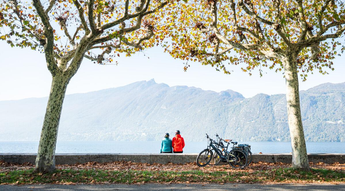
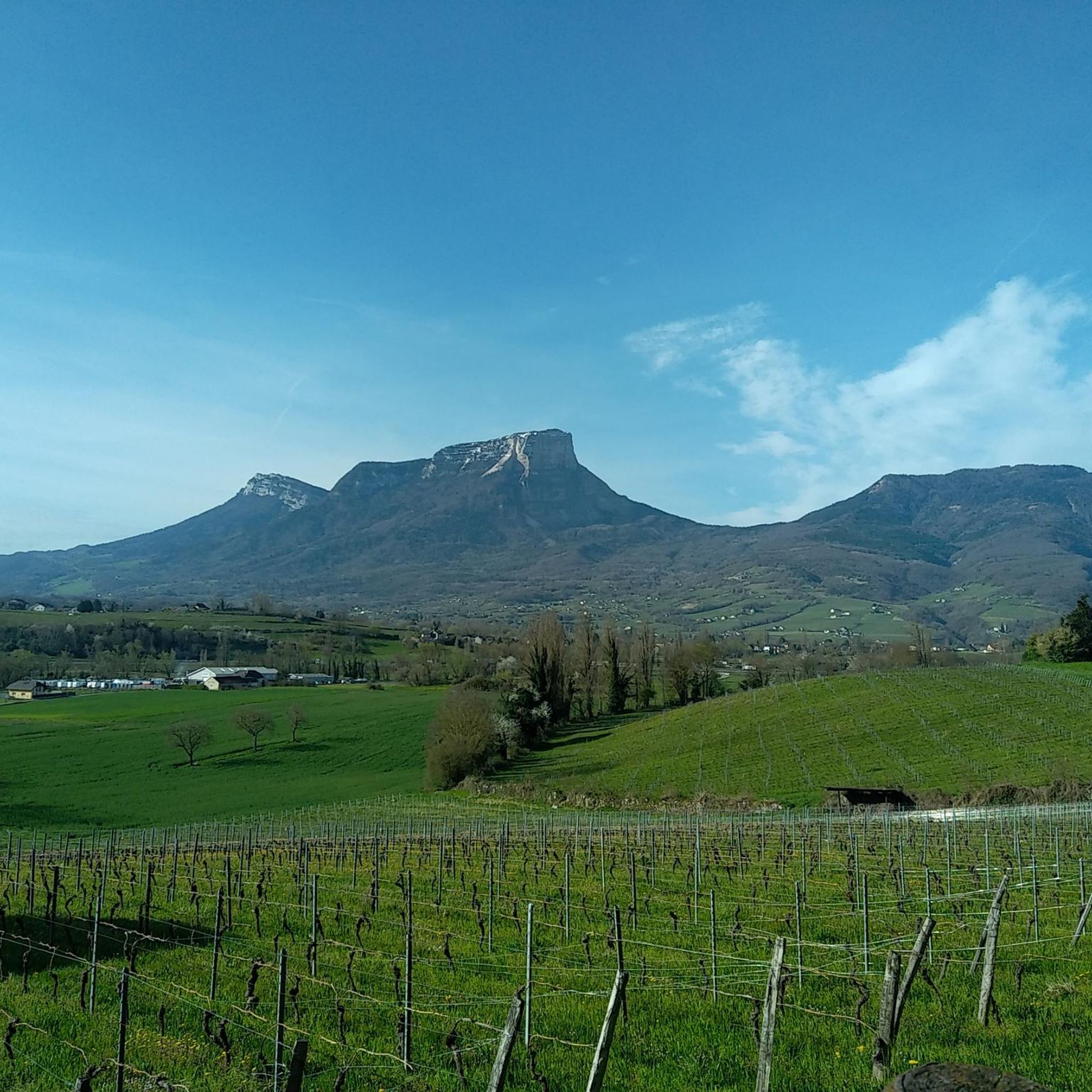
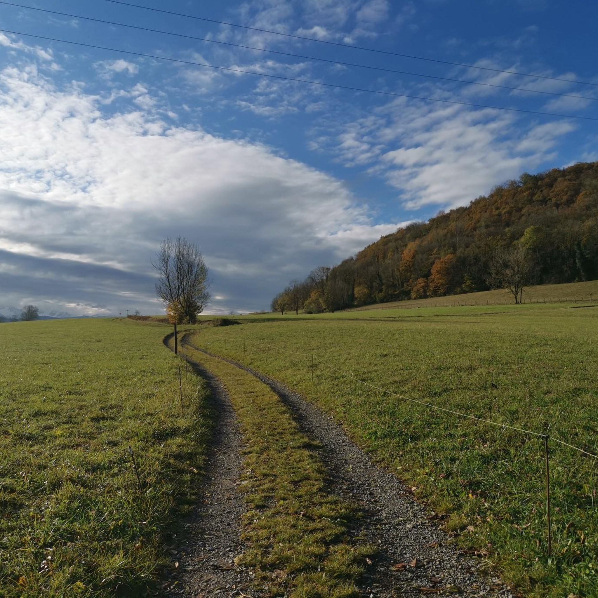
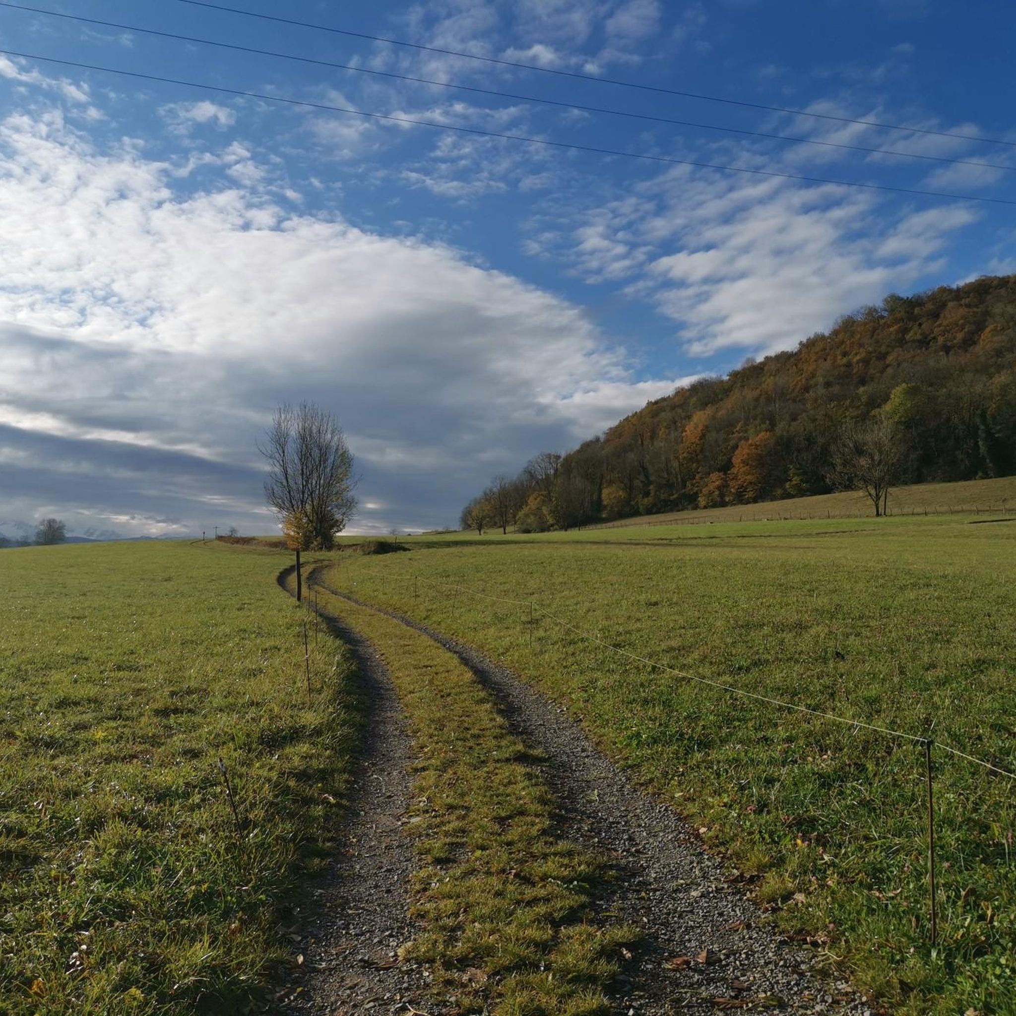
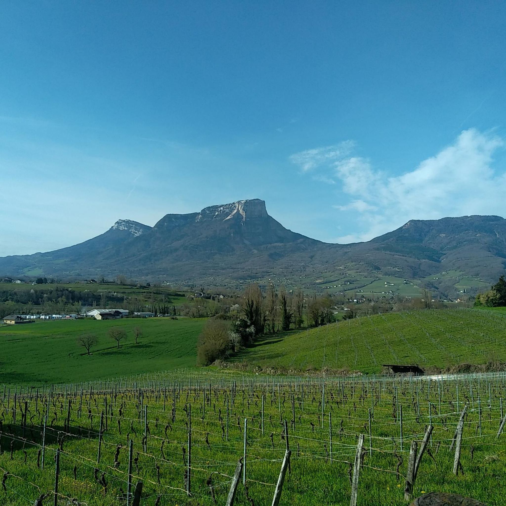
Other adventures around Saint-Jeoire-Prieuré

Tips from the Community

Magnificent view of Chambéry and Lake Bourget A lovely picnic area
0
0

Don't forget that even if it's in the mid-mountains, you need to be equipped for the weather, good shoes, and good physical condition.
0
0

The via ferrata of the Carret cave is rated extremely difficult (ED), it is worth the detour for its views, its apparatus and its overhangs. But beware, beginners should refrain!
0
0

Wonderful panorama of the Bauges, the Chambéry valley and all the massifs of the Northern Alps.
0
0


The beautiful and varied hiking trail to the summit cross alone is a pleasure, and once you reach the summit, you have a breathtaking panorama in all directions (Alps, Lac du Bourget, Chamberry, Aix-les-Bains, mountains and valleys). Highly recommended 😀👍!
0
1

Extraordinary view but deserved because the last meters are not easy
0
0

A MUST in the Rhone Alps! Anyone who missed it wasn't really there. The climb from Le Village Nordique via Le Sire, Chalets du Sire to Mon Kamuniak and then south to Croix de Nivulet is relatively easy (as Benoit Colombier writes: "Accessible to all..."), not dangerous and offers beautiful view.
1
0
Frequently Asked Questions
How many mountaineering routes are available around Saint-Jeoire-Prieuré?
There are 12 mountaineering routes around Saint-Jeoire-Prieuré listed in this guide. These routes traverse a varied mountainous landscape, offering diverse challenges and scenic beauty.
Are there any beginner-friendly mountaineering routes in Saint-Jeoire-Prieuré?
While most mountaineering routes in Saint-Jeoire-Prieuré are classified as difficult, there are 2 moderate routes available. These might be more suitable for those new to mountaineering or looking for a less strenuous experience. Always check the route details for specific difficulty ratings before heading out.
What kind of terrain can I expect on mountaineering routes near Saint-Jeoire-Prieuré?
The terrain around Saint-Jeoire-Prieuré is characterized by green valleys, fir forests, and numerous peaks within the French Alps. You can expect varied mountainous landscapes, including prominent summits, and even specific climbing opportunities at locations like Rocher de Pouilly.
What notable peaks and viewpoints can I reach on mountaineering routes?
Mountaineering routes in the region offer access to prominent summits and breathtaking views. You can reach the Nivolet Cross and Mount Kamuniak, both offering extensive vistas. Other notable peaks include Pointe de la Gorgeat, which provides superb views of the Chartreuse mountains, and Mount Joigny, offering views over the highest peaks of the Chartreuse massif, particularly Mont Granier.
Are there any specific climbing spots in the area?
Yes, the region offers specific climbing opportunities. Rocher de Pouilly is mentioned as a notable location for climbing, providing a dedicated spot for those looking for more technical ascents.
Is parking available near the trailheads for mountaineering routes?
While specific parking details for each trailhead are not provided here, it is generally advisable to check individual route descriptions on komoot for information regarding parking facilities. Many popular trailheads in mountainous regions typically have designated parking areas, though availability can vary.
Can I access mountaineering routes around Saint-Jeoire-Prieuré using public transport?
Access to mountaineering trailheads by public transport can be limited in some parts of the French Alps. For specific routes, it's best to consult the individual komoot tour pages or local transport schedules to determine if public transport options are available to reach the starting points.
When is the best time of year for mountaineering in Saint-Jeoire-Prieuré?
The best time for mountaineering in Saint-Jeoire-Prieuré, like much of the French Alps, is typically during the late spring, summer, and early autumn months (May to October) when trails are generally clear of snow and weather conditions are more stable. Always check local weather forecasts and trail conditions before your trip.
Are there opportunities for winter mountaineering or other winter activities?
While the guide focuses on mountaineering, the broader region around Saint-Jeoire-Prieuré does offer winter activities. Snowshoeing is a popular activity in winter, allowing exploration of the natural environment and snow-capped peaks. For specific winter mountaineering, conditions can be challenging and require specialized gear and experience.
Are there any circular mountaineering routes available?
Yes, several circular mountaineering routes are available. For example, you can explore the Via ferrata La Grotte à Carret – Via ferrata ptchi loop from Les Déserts or the Via ferrata ptchi – Croix du Nivolet loop from Grande Cascade de la Doria. Another option is the Pointe de la Galoppaz – Col de la Buffaz loop from Puygros.
What are some longer mountaineering routes for a full day's adventure?
For a longer, more challenging day out, consider routes like the Pointe de la Galoppaz – Col de la Buffaz loop from Puygros, which covers 12 km with over 1000m of elevation gain. Another substantial option is the Via ferrata ptchi – Croix du Nivolet loop from Grande Cascade de la Doria, spanning nearly 10 km and also featuring over 1000m of ascent.
What do other mountaineers say about the routes in Saint-Jeoire-Prieuré?
The mountaineering routes in Saint-Jeoire-Prieuré are highly rated by the komoot community, with an average score of 4.5 stars from over 8 reviews. More than 77 mountaineers have used komoot to explore the varied terrain, often praising the challenging experiences and the stunning views from prominent summits.
Are there any mountain passes I can explore in the area?
Yes, the region features several mountain passes that offer beautiful landscapes and varied routes. Notable passes include Granier Pass, Marocaz Pass, and Col des Prés. These passes often serve as gateways to different valleys and offer unique perspectives of the surrounding mountains.
Most popular routes around Saint-Jeoire-Prieuré
Most popular attractions around Saint-Jeoire-Prieuré

Get inspired with the komoot mobile app


Explore more
Browse the best Mountain Hikes & Routes in other regions.
