The best walks and hikes around Saint-Jeoire-Prieuré
4.5
(1188)
12,783
hikers
15
hikes
Hiking around Saint-Jeoire-Prieuré offers diverse landscapes in the Savoie department of the Auvergne-Rhône-Alpes region. The area features agricultural lands, hardwood forests, and vineyards, with the village situated on a valley floor and foothills leading to the Bauges massif. It provides access to the Massif des Bauges and Chartreuse regional natural parks, featuring trails to Mont Saint-Michel (895m) and panoramic views over the Cluse de Chambéry. The terrain includes varied elevations, from gentle vineyard paths to more challenging ascents towards peaks like Roc de Tormery.
Best hiking trails around Saint-Jeoire-Prieuré
- The most popular hiking route is Watch Rock – Manettaz Rock loop from Chignin, a difficult 9.6 miles (15.4 km) trail that takes about 6 hours 40 minutes to complete, featuring significant elevation changes and panoramic views.
- Another top favourite among local hikers is View of Mont Granier loop from Curienne, a moderate 1.7 miles (2.7 km) path. This route offers views of Mont Granier and can be completed in about 55 minutes.
- Local hikers also love the Montlevin – Panorama loop from Saint-Jeoire-Prieuré, a 5.2 miles (8.4 km) trail leading through forested areas and offering scenic vistas, often completed in about 2 hours 28 minutes.
- Hiking around Saint-Jeoire-Prieuré is defined by vineyards, hardwood forests, and the foothills of the Bauges massif. The network offers options for various ability levels, from easy walks to more challenging, longer hikes.
- The routes in Saint-Jeoire-Prieuré are highly rated by the komoot community with an average score of 4.5 stars from more than 1,000 reviews. More than 12,000 hikers have used komoot to explore Saint-Jeoire-Prieuré's varied terrain.
Last updated: July 1, 2026
5.0
(5)
38
hikers
8.64km
02:31
230m
230m
Moderate hike. Good fitness required. Easily-accessible paths. Suitable for all skill levels.
4.0
(5)
27
hikers
8.29km
03:11
540m
540m
Moderate hike. Good fitness required. Mostly accessible paths. Sure-footedness required.

Sign up for free
9
hikers
24.6km
09:06
1,220m
1,220m
Hard hike. Very good fitness required. Mostly accessible paths. Sure-footedness required.
14
hikers
4.89km
01:26
140m
140m
Easy hike. Great for any fitness level. Easily-accessible paths. Suitable for all skill levels.
5.0
(1)
14
hikers
11.5km
03:24
330m
330m
Moderate hike. Good fitness required. Easily-accessible paths. Suitable for all skill levels.
Get access to more routes and recommendations from other explorers.
Sign up for free
Already have an account?
Our route recommendations are based on thousands of hikes, rides, and runs completed by other people on komoot.
Start today with a free account
Your next adventure awaits.
Login or Signup
Popular around Saint-Jeoire-Prieuré
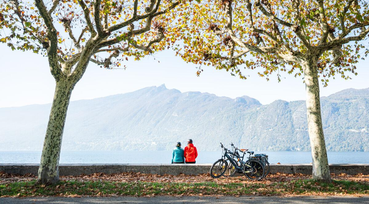
Cycling around Chambéry – mountains, lakes and French cuisine
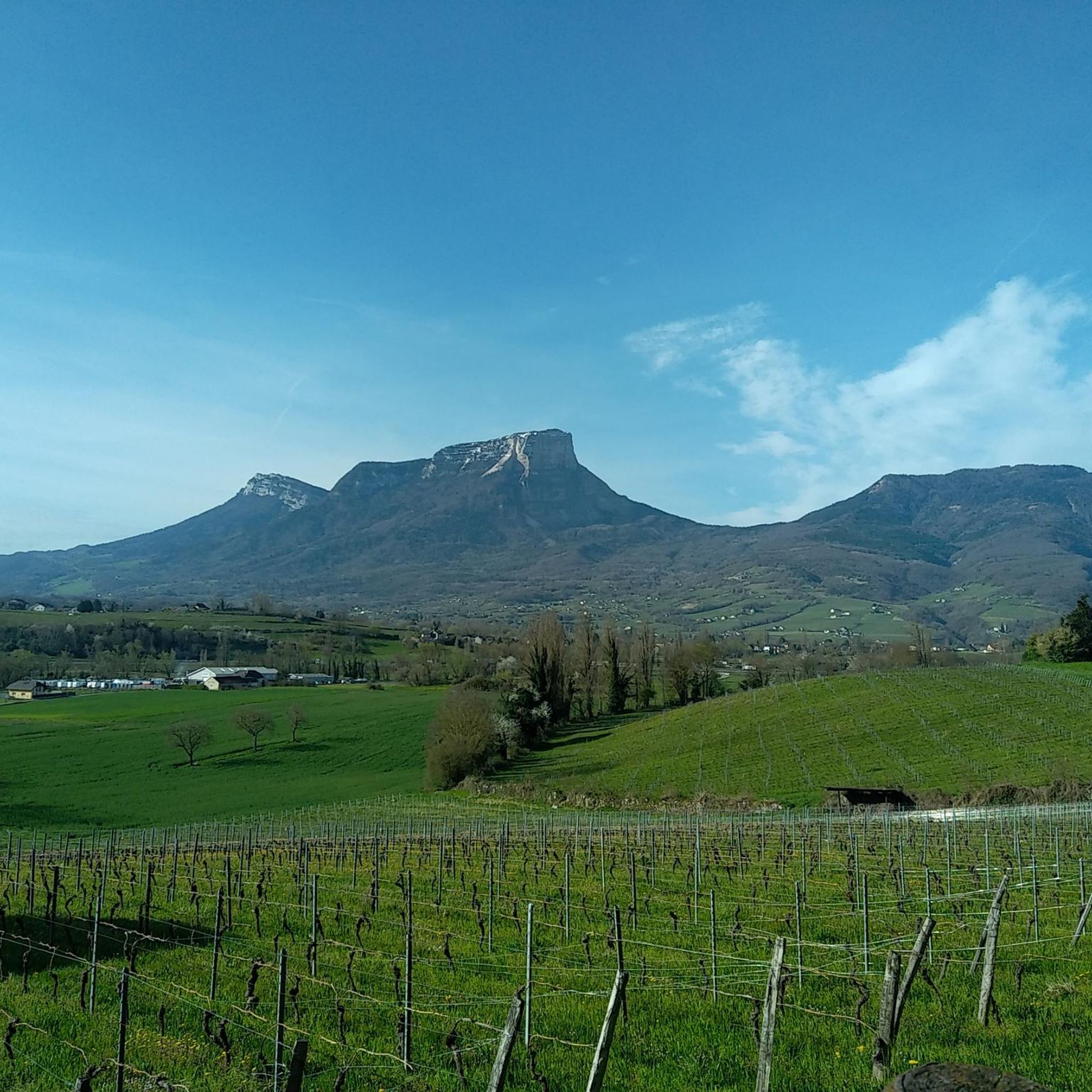
Cycling around Saint-Jeoire-Prieuré
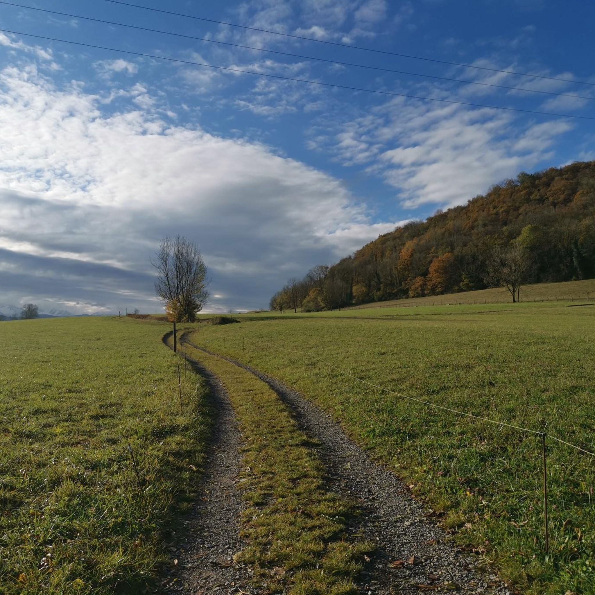
Road Cycling Routes around Saint-Jeoire-Prieuré
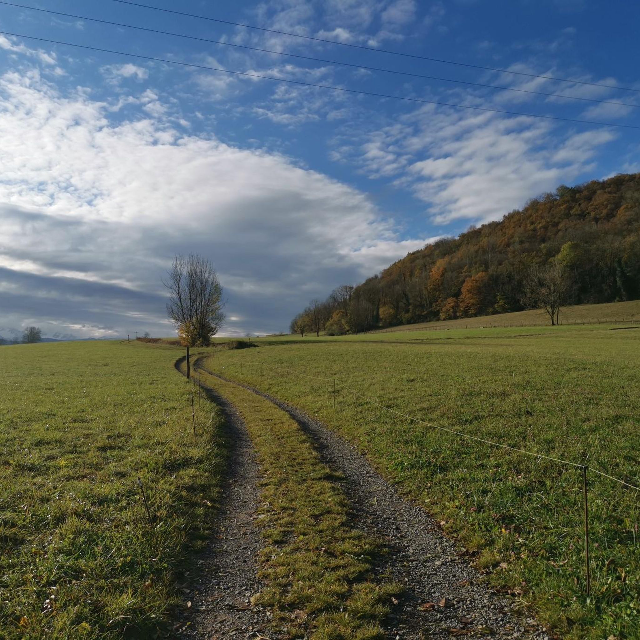
MTB Trails around Saint-Jeoire-Prieuré
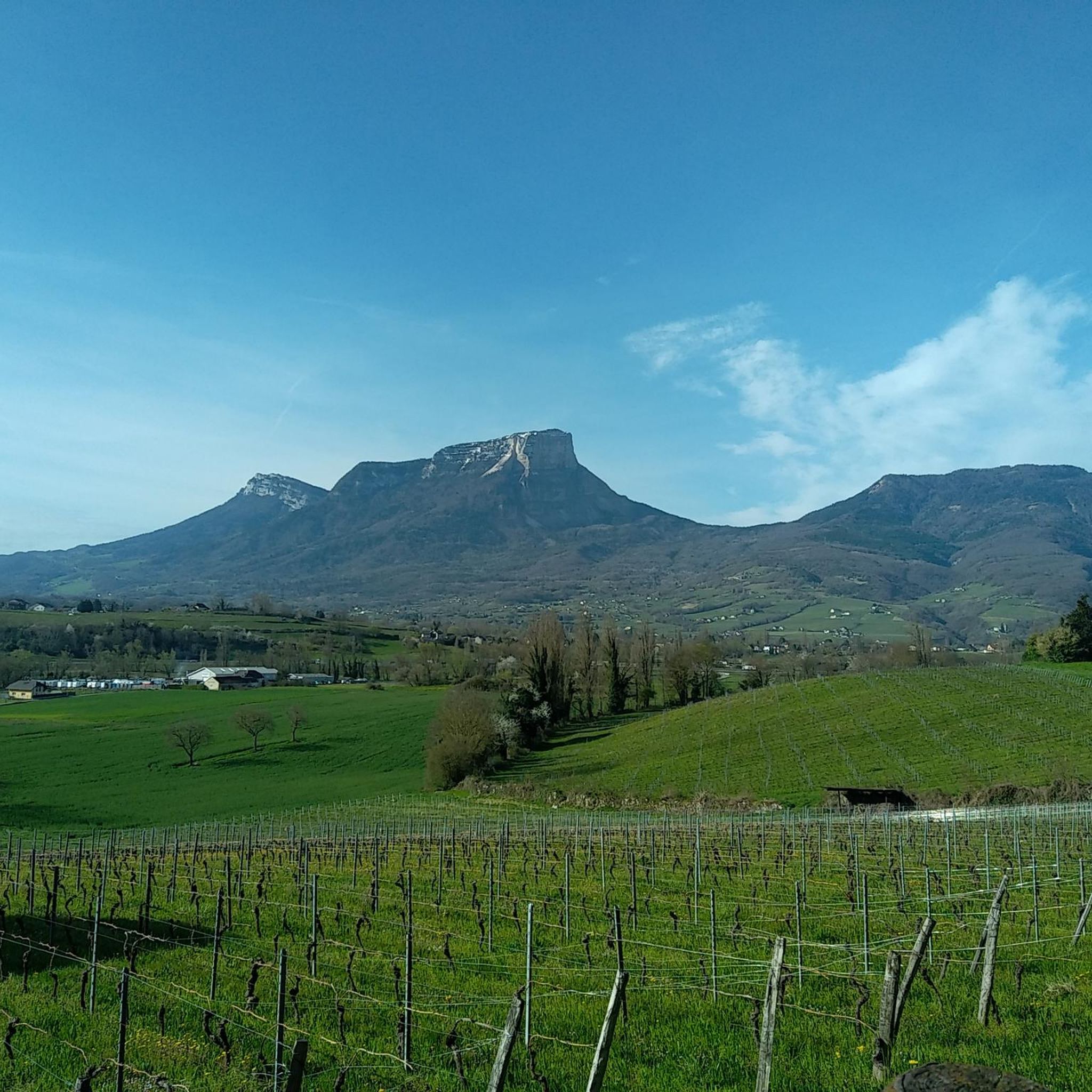
Running Trails around Saint-Jeoire-Prieuré
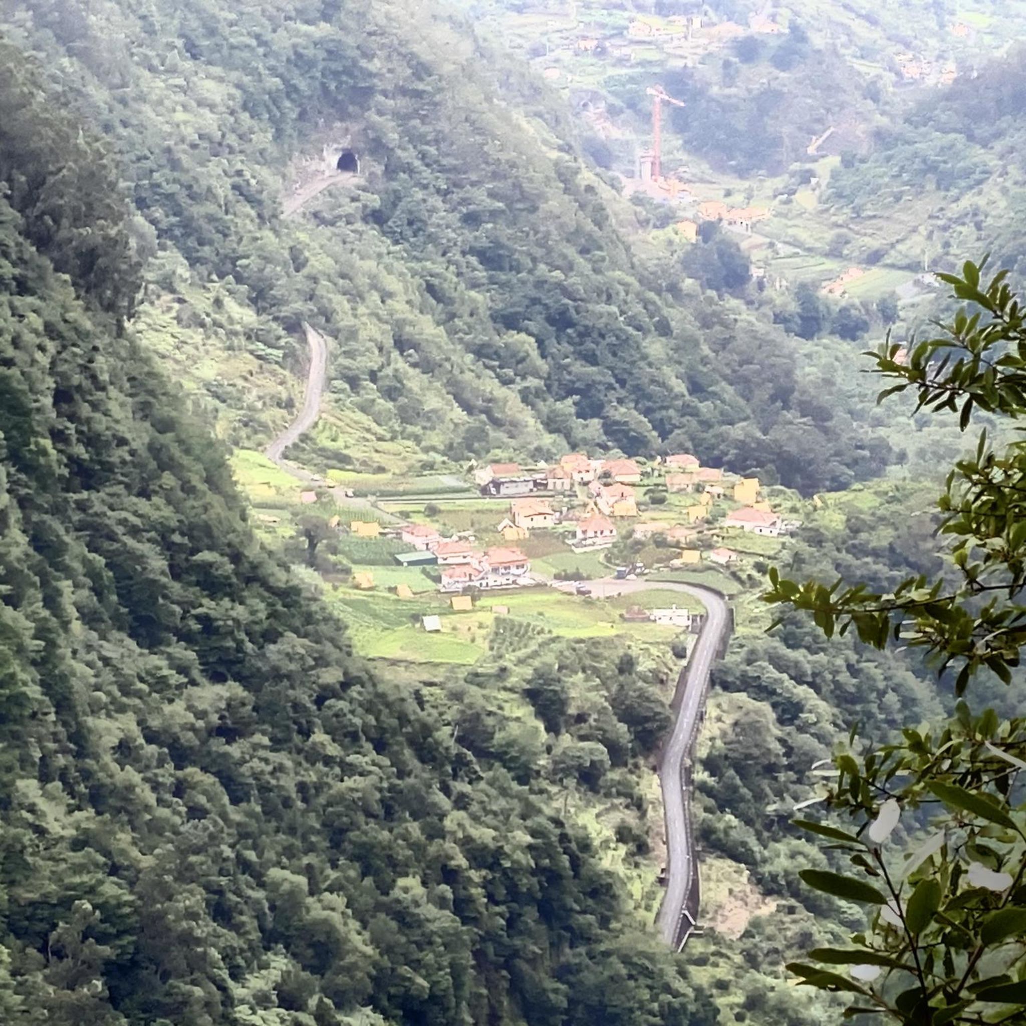
Mountain Hikes around Saint-Jeoire-Prieuré
Gravel biking around Saint-Jeoire-Prieuré
Other adventures around Saint-Jeoire-Prieuré

Tips from the Community

Beautiful views of the vineyards.
1
0
A very beautiful panorama in the vineyards.
1
0

Below the current chapel, less than 5 min.
1
0
More interesting climb via the "direct" route, via Rocher Rousset, from Challes-les-Eaux.
0
0
Magnificent view when you climb up Rocher Rousset.
0
0

Nice layout that allows you to reach Thoiry from St-Jean-d'Arvey.
1
1
Well-known site for trail runners and walkers.
0
1
Very beautiful panoramic views. Quite busy.
1
0
Frequently Asked Questions
How many hiking trails are available around Saint-Jeoire-Prieuré?
There are over 460 hiking routes in the Saint-Jeoire-Prieuré area, catering to various skill levels. You'll find everything from easy walks through vineyards to more challenging ascents into the foothills of the Bauges massif.
What is the best time of year to go hiking in Saint-Jeoire-Prieuré?
The region is beautiful for hiking throughout much of the year. Spring and autumn offer pleasant temperatures and vibrant colors, especially through the vineyards and hardwood forests. Summer is also popular, though some higher-altitude trails might be more strenuous. Winter can offer unique snowshoeing opportunities, particularly in the nearby Massif des Bauges.
Are there any circular hiking routes in Saint-Jeoire-Prieuré?
Yes, many of the trails around Saint-Jeoire-Prieuré are circular, allowing you to start and end at the same point. For example, the Montlevin – Panorama loop from Saint-Jeoire-Prieuré is a popular moderate option that offers scenic vistas.
Are there any family-friendly hiking options in the area?
Absolutely. Saint-Jeoire-Prieuré offers over 130 easy routes, many of which are suitable for families. These often involve gentle walks through agricultural lands, vineyards, or forests, providing a pleasant experience for all ages. The View of Mont Granier loop from Curienne is a moderate, shorter path that offers great views without being too strenuous.
What kind of natural attractions or landmarks can I see while hiking?
The region is rich in natural beauty. You can hike to Watch Rock for panoramic views, or explore trails that pass by the famous vineyards of Chignin. The area also provides access to the Massif des Bauges and Chartreuse regional natural parks, offering diverse alpine scenery. For those interested in waterfalls, you might find trails leading to features like the Waterfalls on the Nant du Pontet or the Cascade de la Doriaz.
Are there hiking trails with significant viewpoints?
Yes, many trails offer stunning panoramic views. Hikes to Mont Saint-Michel (895m) provide expansive views over the Cluse de Chambéry. Peaks like Roc de Tormery and Sommet de Montgelas, accessible via Chignin, also offer higher-altitude perspectives above the vineyards. The Watch Rock – Manettaz Rock loop from Chignin is particularly known for its panoramic views.
Is it possible to reach hiking trailheads using public transport?
While Saint-Jeoire-Prieuré itself is a small commune, the wider Chambéry area, which is well-connected by public transport, serves as a gateway to many hiking regions. Some local bus services might connect to nearby villages that serve as starting points for trails, especially those leading into the Bauges and Chartreuse massifs. It's advisable to check local bus schedules for specific routes.
Where can I find parking for hiking trails in Saint-Jeoire-Prieuré?
Parking is generally available in the village centers of Saint-Jeoire-Prieuré and surrounding communes like Chignin or Curienne, which serve as common starting points for many trails. Specific trailheads often have designated, albeit sometimes small, parking areas. It's recommended to check the route details on komoot for information on parking at the start of your chosen hike.
What do other hikers enjoy most about hiking in Saint-Jeoire-Prieuré?
The area is highly rated by the komoot community, with an average score of 4.5 stars from over 1,000 reviews. Hikers often praise the diverse landscapes, from tranquil vineyards to challenging mountain foothills, and the well-maintained paths. The panoramic views of the surrounding massifs, including Mont-Blanc, are frequently highlighted as a favorite aspect.
Are there any challenging hikes for experienced trekkers?
Yes, for experienced hikers, there are nearly 100 difficult routes available. These often feature significant elevation changes and longer distances. An example is the Rocher de Tormery loop from Chignin, which involves substantial ascent and offers rewarding views.
Can I hike with my dog in Saint-Jeoire-Prieuré?
Many trails in the Saint-Jeoire-Prieuré area are dog-friendly, especially those through forests and agricultural lands. However, it's always important to keep your dog under control, especially when passing through pastures with livestock or in areas with wildlife. In regional natural parks like the Massif des Bauges, specific regulations regarding dogs (e.g., leash requirements) might apply, so it's best to check local signage.
Most popular routes around Saint-Jeoire-Prieuré
Most popular attractions around Saint-Jeoire-Prieuré

Get inspired with the komoot mobile app


Explore more
Browse the best Hikes in other regions.
