The best road cycling routes around Bisingen
4.5
(380)
6,140
riders
29
rides
Road cycling around Bisingen offers diverse and picturesque landscapes at the foot of the Swabian Alb. The region features a blend of rolling hills, verdant meadows, and dense forests, extending to the high plateaus of the Albtrauf. This varied terrain provides both gently undulating routes and more challenging ascents and descents suitable for road cycling. The Albtrauf ridgeline offers panoramic views over the surrounding area.
Best road cycling routes around Bisingen
- The most popular road cycling route is Kalkofen Climb…
Last updated: July 5, 2026
54
riders
86.9km
04:06
990m
990m
Hard road ride. Very good fitness required. Some segments of this route may be unpaved and difficult to ride.
4.3
(6)
37
riders
132km
06:00
1,490m
1,490m
Hard road ride. Very good fitness required. Mostly well-paved surfaces and easy to ride.

Sign up for free
5.0
(1)
22
riders
40.3km
01:55
370m
370m
Moderate road ride. Good fitness required. Mostly well-paved surfaces and easy to ride.
4.0
(2)
27
riders
41.1km
02:01
330m
330m
Moderate road ride. Good fitness required. Mostly well-paved surfaces and easy to ride.
16
riders
33.1km
01:55
610m
610m
Moderate road ride. Good fitness required. Mostly well-paved surfaces and easy to ride.
Get access to more routes and recommendations from other explorers.
Sign up for free
Already have an account?
Our route recommendations are based on thousands of hikes, rides, and runs completed by other people on komoot.
Start today with a free account
Your next adventure awaits.
Login or Signup
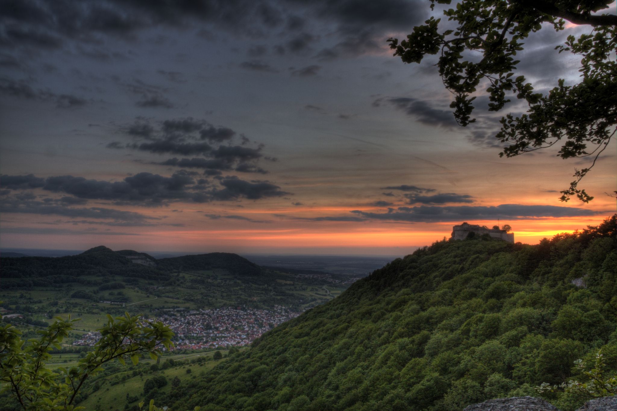
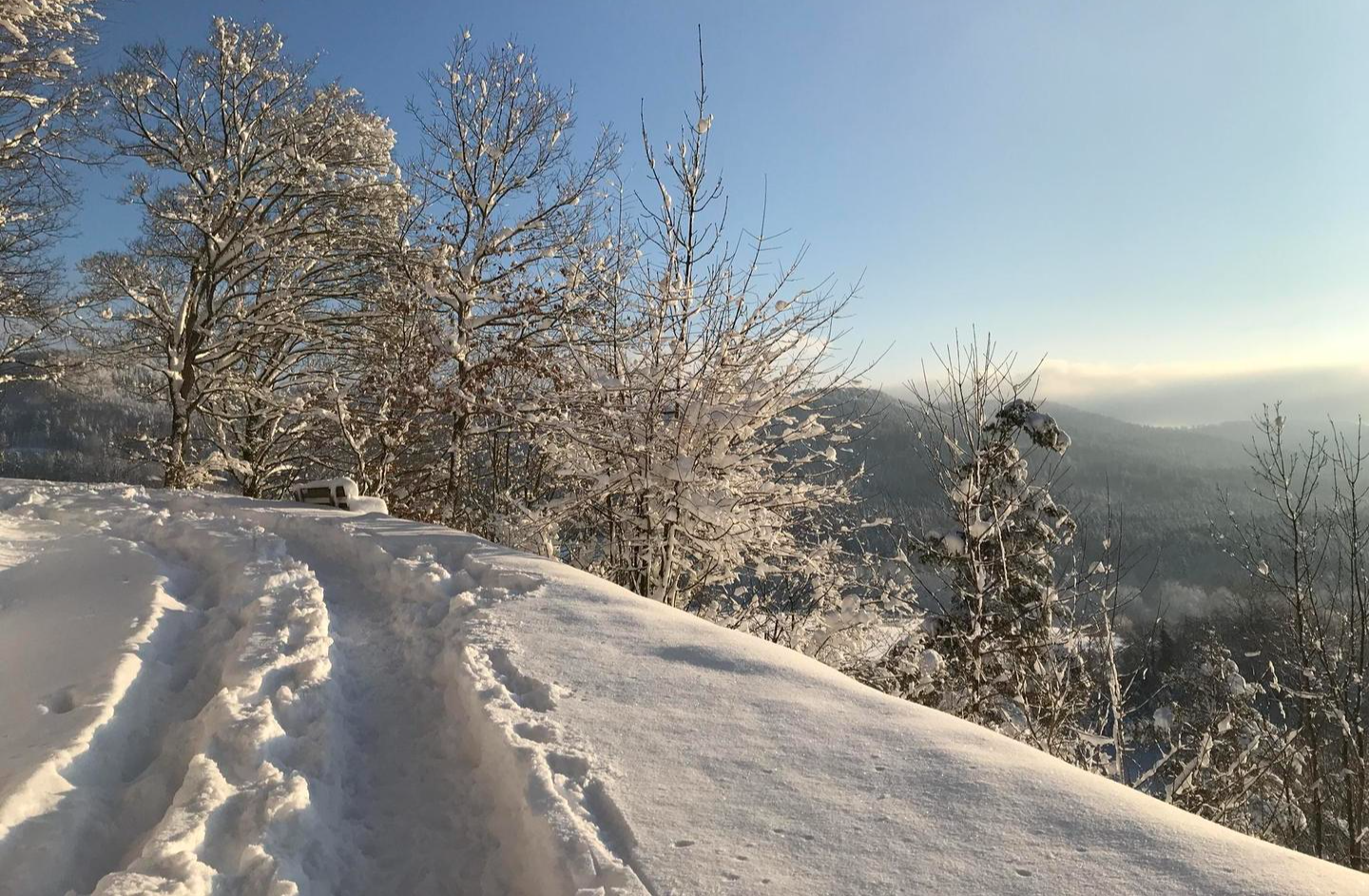
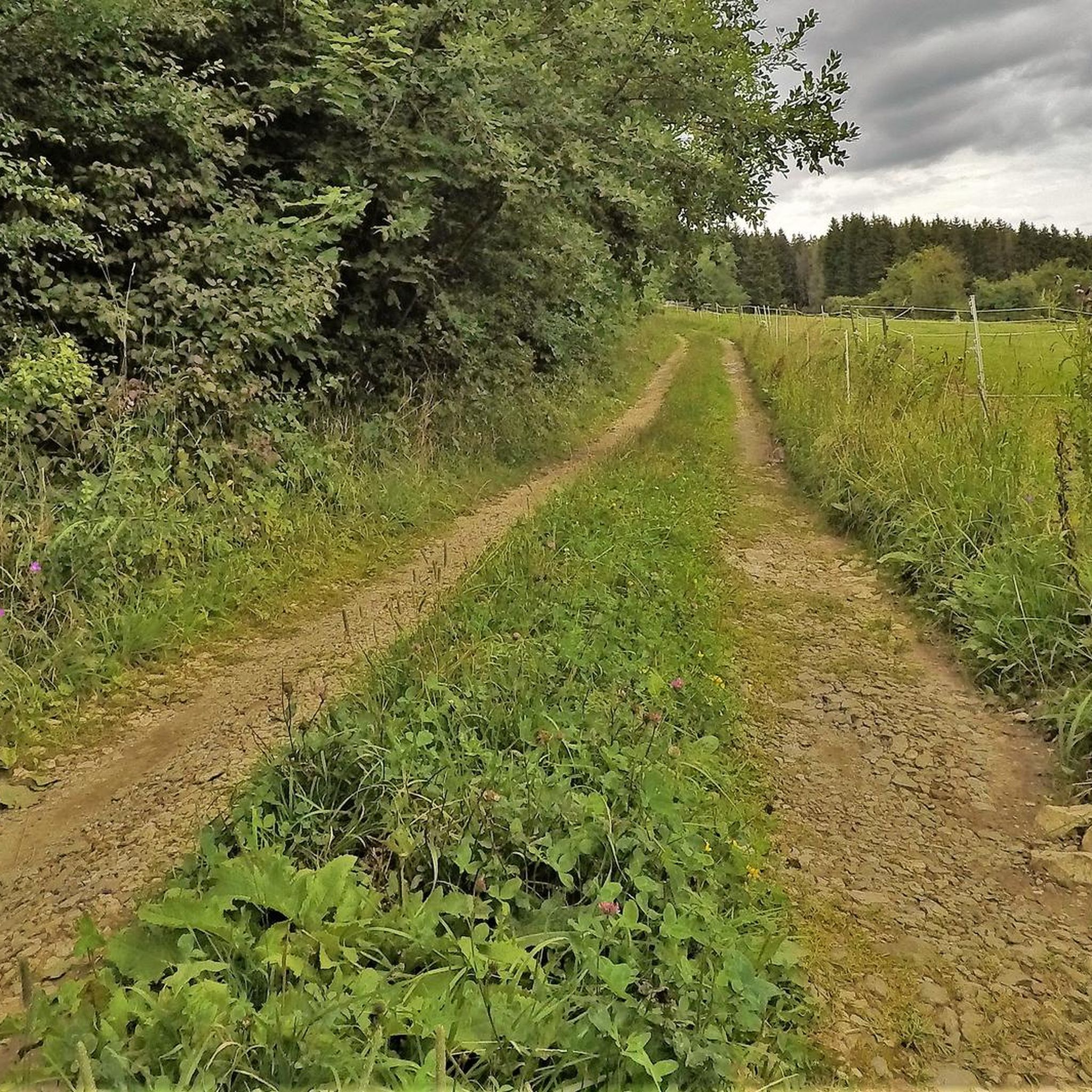
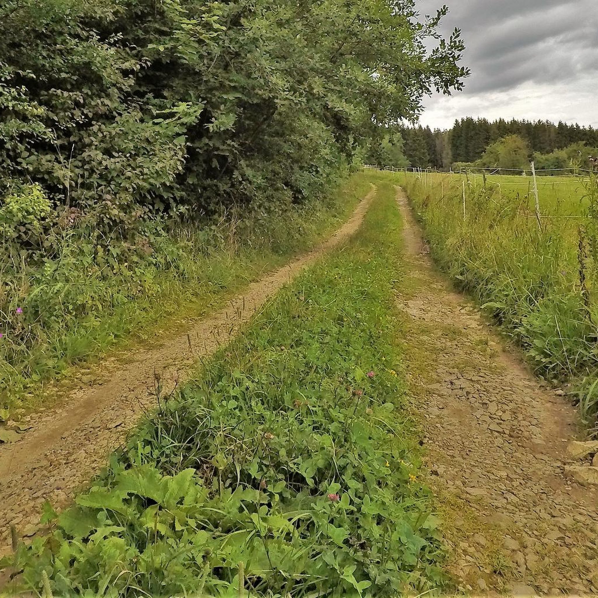
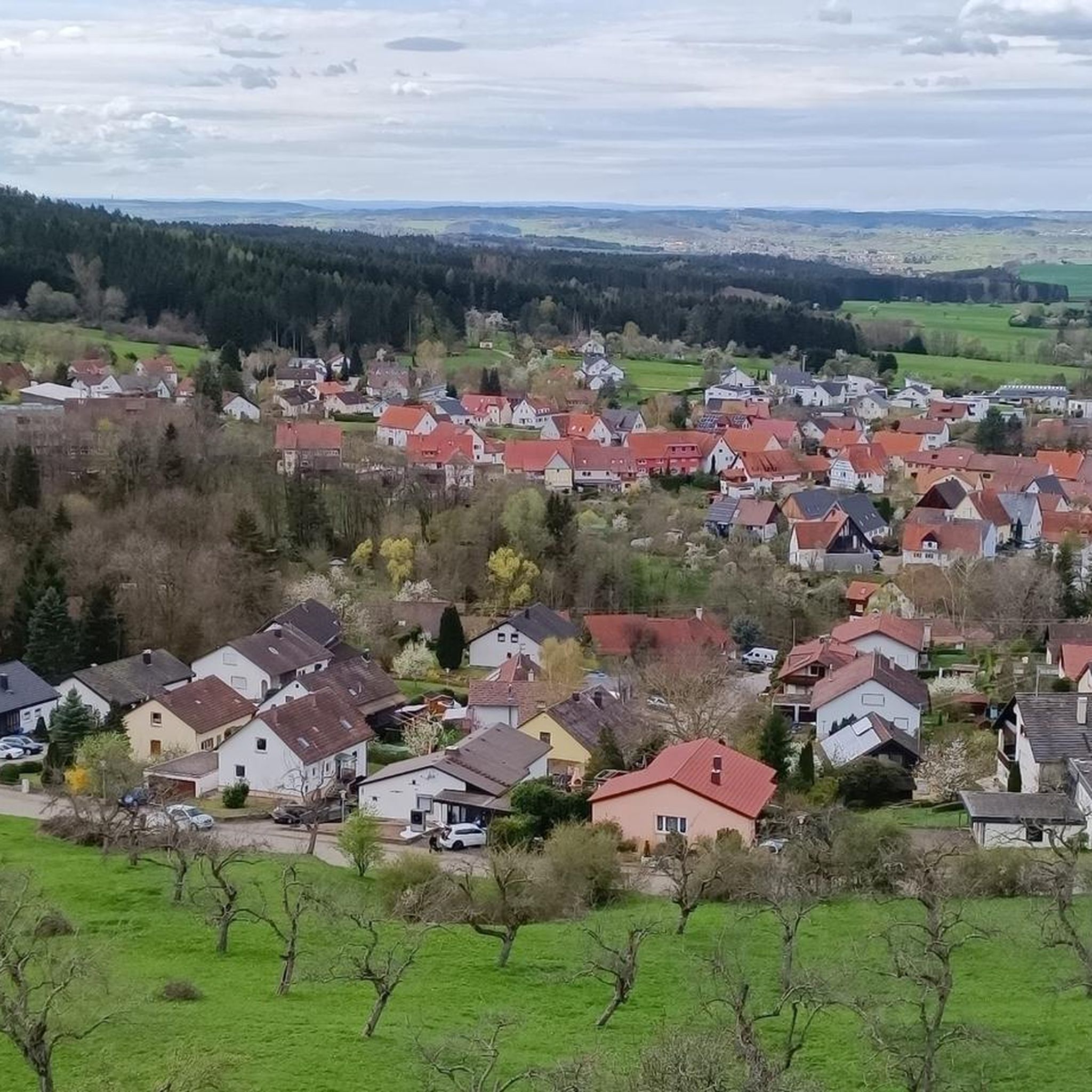
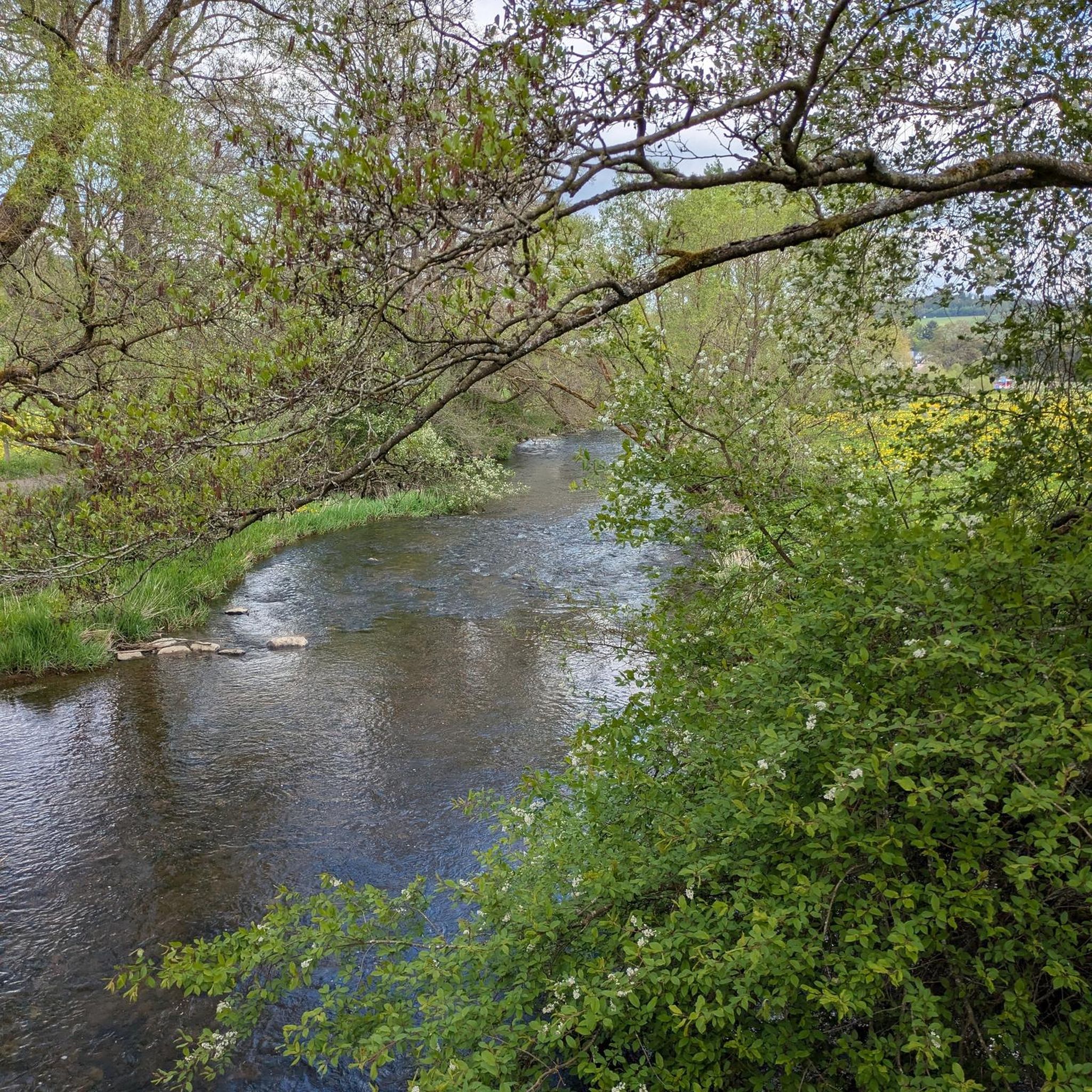



Tips from the Community

Small climb from Thanheimer to Onstmettingen, most enjoyable when there isn't much traffic.
0
0

This bridge is one of the few remaining, historic covered wooden bridges over the young Danube. It is located directly on the L277 in the district of Sigmaringen, nestled in the spectacular scenery of the Upper Danube Nature Park.
0
0

The Schlichemtalsperre (also known as Schömberger Stausee, mostly just called Stausee locally) east of Schömberg in Baden-Württemberg dams the Schlichem, a tributary of the Neckar coming from the Swabian Jura. The 90.6 ha Schömberger Stausee mit Palmbühl landscape protection area surrounds the Schlichemtalsperre. The approximately 1.35 km long and initially narrow reservoir, widening to about 175 m towards the end, with an area of 10.4 ha at 643.8 m above sea level (NHN), begins at the hamlet of Untere Säge and extends to the old town center of Schömberg. It has a catchment area of about 33.5 km², to which the Schlichem, over 11 km long at its inflow, contributes almost 90%. The watercourses Hölzlegraben from the forest to the right of the lake and Scheubühlgraben and Räßentälebach from the left, up to 1.2 km long, flow into it from the sides. A fish ladder leads from the Vorsee pre-reservoir near Untere Säge to the reservoir. There is also the only bridge over the lake that can be walked and driven on. The Schlichem Viaduct can only be used by the railway. The Schlichemtalsperre was built between 1940 and 1944. The Portlandzementwerk Rudolf Rohrbach KG (today Holcim (Süddeutschland) GmbH), based in neighboring Dotternhausen, which was the client for the dam, initially used it for cooling water supply and power generation. An outdoor swimming pool built in 1935 was flooded. After World War II, the facility was taken over by the state of Württemberg-Hohenzollern in 1948. The reservoir was renovated from 1975 to 1983. The barrier structure is an earth dam, and the hydropower plant within it has an output of 60 kW. There is a pre-reservoir, the Vorsee, which was built from 1975 to 1977. Source: https://de.wikipedia.org/wiki/Schlichemtalsperre
1
0

Covered wooden bridges always look special, although this one is not so solidly built but rather modern and delicate
1
0

At Palmbühl on the Schömberg reservoir there is a free e-bike charging station with 3 sockets, marked but somewhat hidden.
3
0

also easy to ride up with a racing bike. From Weilstetten it is around 11%, when the serpentines start it becomes relatively even with 5 - 8%. From Weilstetten it is (from Gasthof Ritter) about 5.5 km to the top of the pass
0
0

The Lochen Pass is located in the Zollernalb district of Baden-Württemberg and represents the shortest connection from the Balingen area to Lake Constance. Historically, its importance lies in the connection of the Heuberg region to the Alb foothills.
0
0

Avenue, avenue, avenue, a street, many trees, that's an avenue; avenue...
0
0
Frequently Asked Questions
How many road cycling routes are available around Bisingen?
Bisingen offers a diverse selection of over 30 road cycling routes. These routes cater to various fitness levels, with 9 easy, 15 moderate, and 6 difficult options to explore the picturesque Swabian Alb region.
What kind of terrain can I expect when road cycling near Bisingen?
The terrain around Bisingen is characterized by a blend of rolling hills, verdant meadows, and dense forests. You'll encounter both gently undulating routes and more challenging ascents and descents, especially as you approach the Albtrauf, the steep northwestern edge of the Swabian Alb. This variety ensures engaging rides for all skill levels.
Are there any family-friendly road cycling routes in Bisingen?
Yes, Bisingen offers several road cycling routes suitable for families. There are 9 easy routes that are generally less demanding, perfect for those cycling with children or looking for a relaxed ride. These routes often feature well-paved surfaces through scenic landscapes.
What are some notable landmarks or viewpoints to see while road cycling in Bisingen?
The region is rich in scenic viewpoints and landmarks. You can enjoy breathtaking views of Hohenzollern Castle from various points, such as the Zeller Horn. Other notable highlights include the View from Dreifürstenstein and the Raichberg Tower, offering expansive panoramas of the Swabian Alb.
Are there any circular road cycling routes around Bisingen?
Many of the road cycling routes around Bisingen are designed as loops, allowing you to start and finish at the same point. For example, the View of the Swabian Jura loop from Bisingen is a moderate 40.3 km route offering scenic vistas, and the Schlichem Dam – Schömberg Reservoir loop from Bisingen provides a pleasant ride around the reservoir.
What is the best time of year for road cycling in Bisingen?
The spring and summer months generally offer the best conditions for road cycling in Bisingen, with milder temperatures and lush green landscapes. Autumn can also be beautiful with vibrant foliage, though you should be prepared for cooler weather. Always check local weather forecasts before heading out.
Where can I find parking for road cycling routes in Bisingen?
Parking is generally available in Bisingen town center and near popular starting points for routes. For specific routes like those around the Schömberg Reservoir or leading to the Lochen Pass, designated parking areas are usually accessible, making it convenient to begin your ride.
What do other road cyclists enjoy most about the routes in Bisingen?
The road cycling routes in Bisingen are highly rated by the komoot community, with an average score of 4.5 stars from over 20 reviews. Cyclists often praise the diverse scenery, ranging from rolling hills to challenging Albtrauf ascents, and the well-maintained paths that offer both physical challenge and stunning panoramic views.
Are there any challenging road cycling routes for experienced riders?
Absolutely. Bisingen offers 6 difficult road cycling routes for experienced riders seeking a challenge. The Kalkofen Climb – Kalkofen to Nebelhöhle Road loop from Bisingen is a demanding 87 km route with significant ascents, and the Lochen Pass – Lochen Pass loop from Bisingen is an even longer 133.4 km path featuring demanding climbs and descents.
Can I combine road cycling with other outdoor activities in Bisingen?
Yes, Bisingen is an excellent base for combining road cycling with other outdoor pursuits. The region is also a 'hiking paradise' with numerous trails, and you can explore historical sites like Hohenzollern Castle or natural wonders such as the Nebelhöhle cave. Some routes, like the Thanheimer Steige – View of Balingen and Lochen loop from Bisingen, offer scenic stops that are perfect for short walks or enjoying the views.
Are there places to eat or get refreshments along the road cycling routes?
While specific cafes on every route are not guaranteed, Bisingen and surrounding towns offer various cafes and restaurants where you can refuel. Some routes may pass by villages with options, and popular viewpoints or attractions like the Ochsenberg often have facilities or nearby inns such as the Ochsenhaus hilltop inn.
Most popular routes around Bisingen
Most popular attractions around Bisingen

Get inspired with the komoot mobile app


Explore more
Browse the best Road cycling routes in other regions.
