The best running trails around Planaise
4.6
(97)
5,420
runners
312
runs
Jogging routes Planaise are set within the Combe de Savoie valley, offering a mix of flatter areas and gentle inclines. The region is characterized by its rural and agricultural landscapes, with the Isère River traversing the commune. Protected marshlands, including the Marais des Îles, de La Sagne, and de La Bétaz, provide unique natural environments for running. Altitude variations from 272 meters to 419 meters add subtle elevation changes to the terrain.
Best jogging routes around Planaise
- The most popular…
Last updated: July 1, 2026
5.0
(1)
92
runners
21.5km
03:40
1,170m
1,170m
Hard run. Very good fitness required. Sure-footedness, sturdy shoes and alpine experience required.
5.0
(3)
66
runners
13.2km
02:33
890m
890m
Hard run. Very good fitness required. Sure-footedness, sturdy shoes and alpine experience required.

Sign up for free
5.0
(1)
44
runners
24.3km
04:18
1,630m
1,630m
Hard run. Very good fitness required. Sure-footedness, sturdy shoes and alpine experience required.
5.0
(1)
23
runners
9.21km
01:00
100m
100m
Moderate run. Good fitness required. Mostly paved surfaces. Suitable for all skill levels.
20
runners
25.5km
02:44
50m
50m
Hard run. Very good fitness required. Mostly paved surfaces. Suitable for all skill levels.
Get access to more routes and recommendations from other explorers.
Sign up for free
Already have an account?
Our route recommendations are based on thousands of hikes, rides, and runs completed by other people on komoot.
Start today with a free account
Your next adventure awaits.
Login or Signup
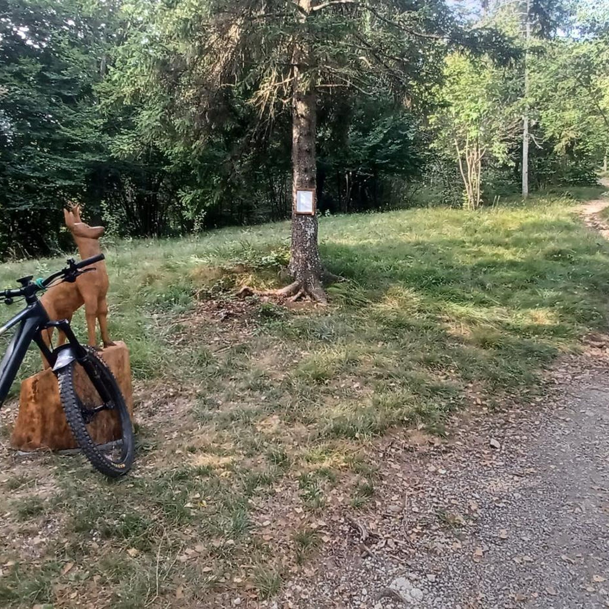
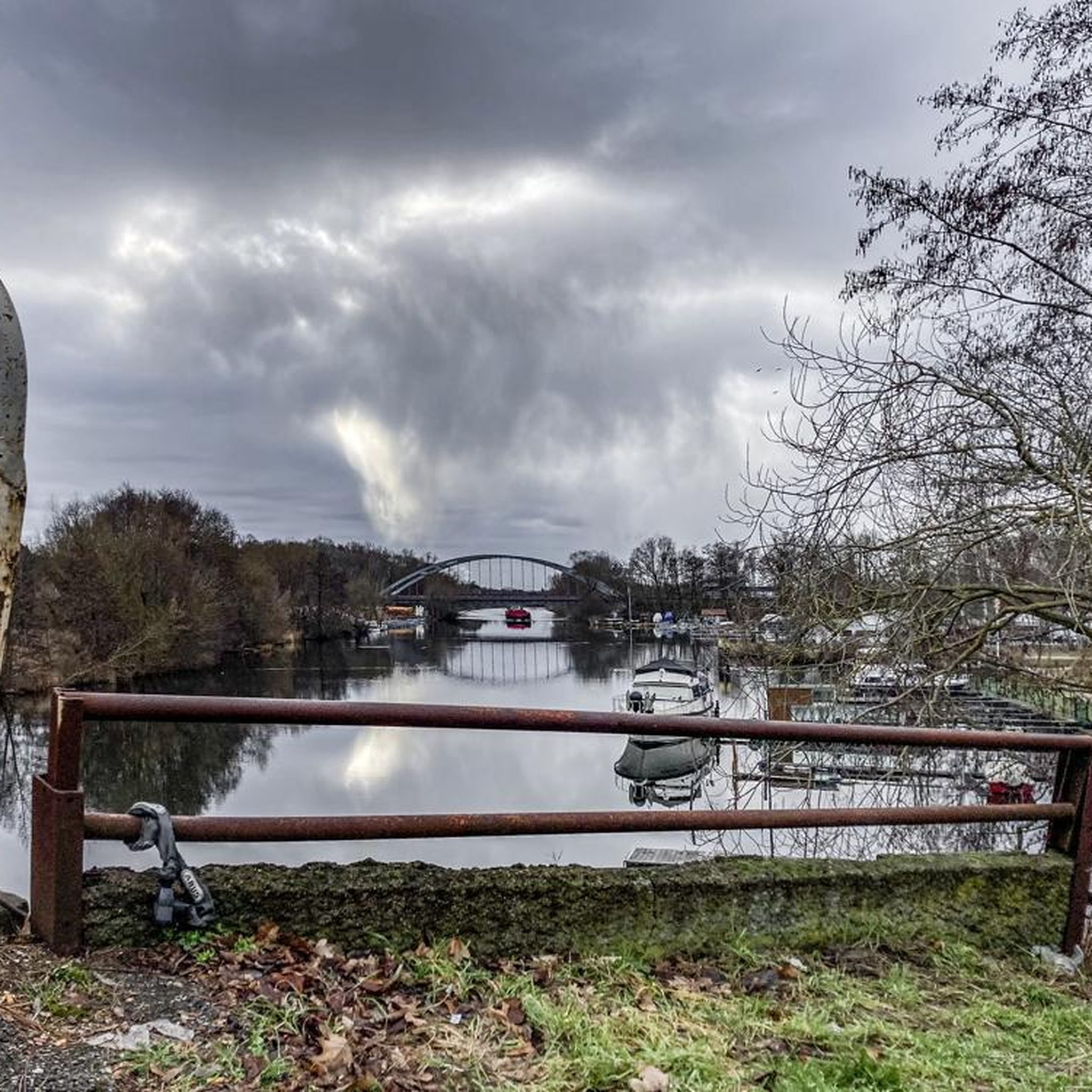
Tips from the Community

True location of the Pass, arrival marker and sign at the summit.
1
0


gravel junction between the Marocaz pass and Aillon le jeune; a hundred meters of pushing on a steep slope
0
0

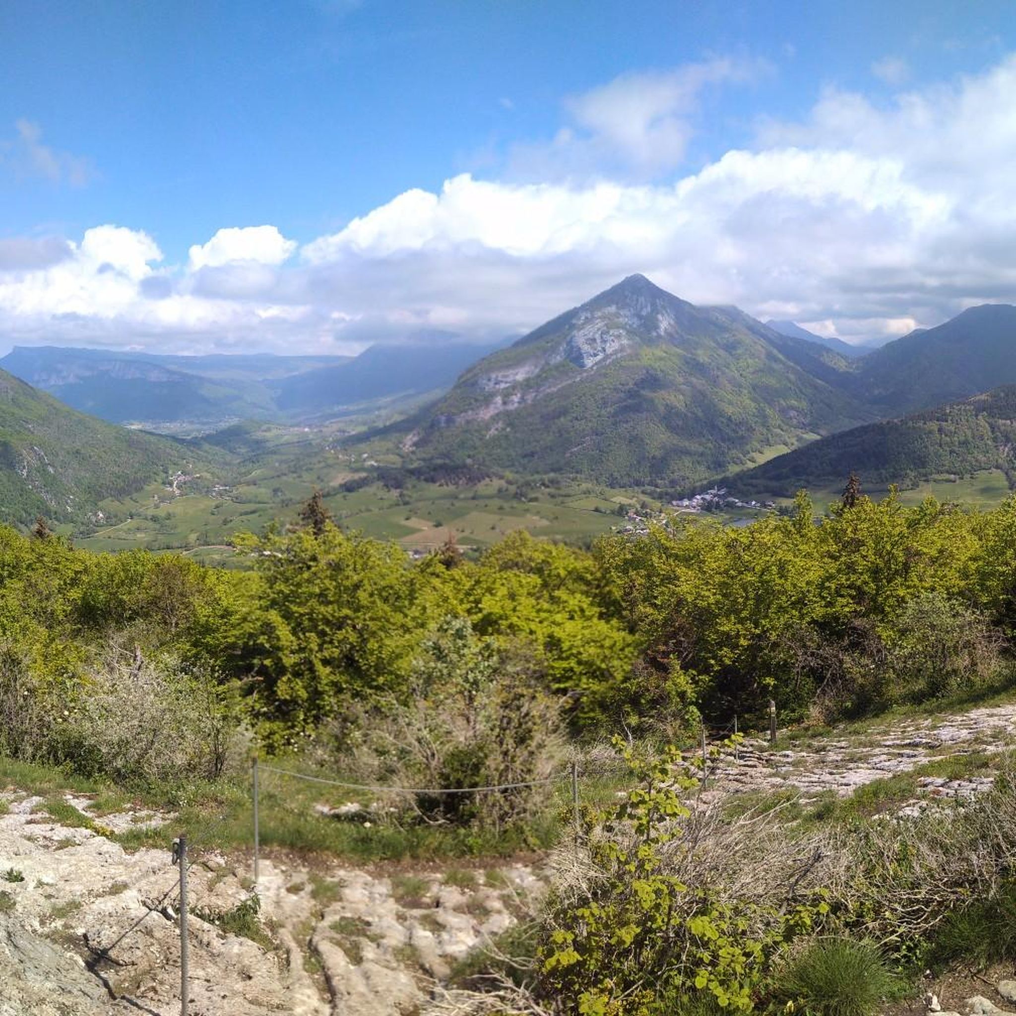
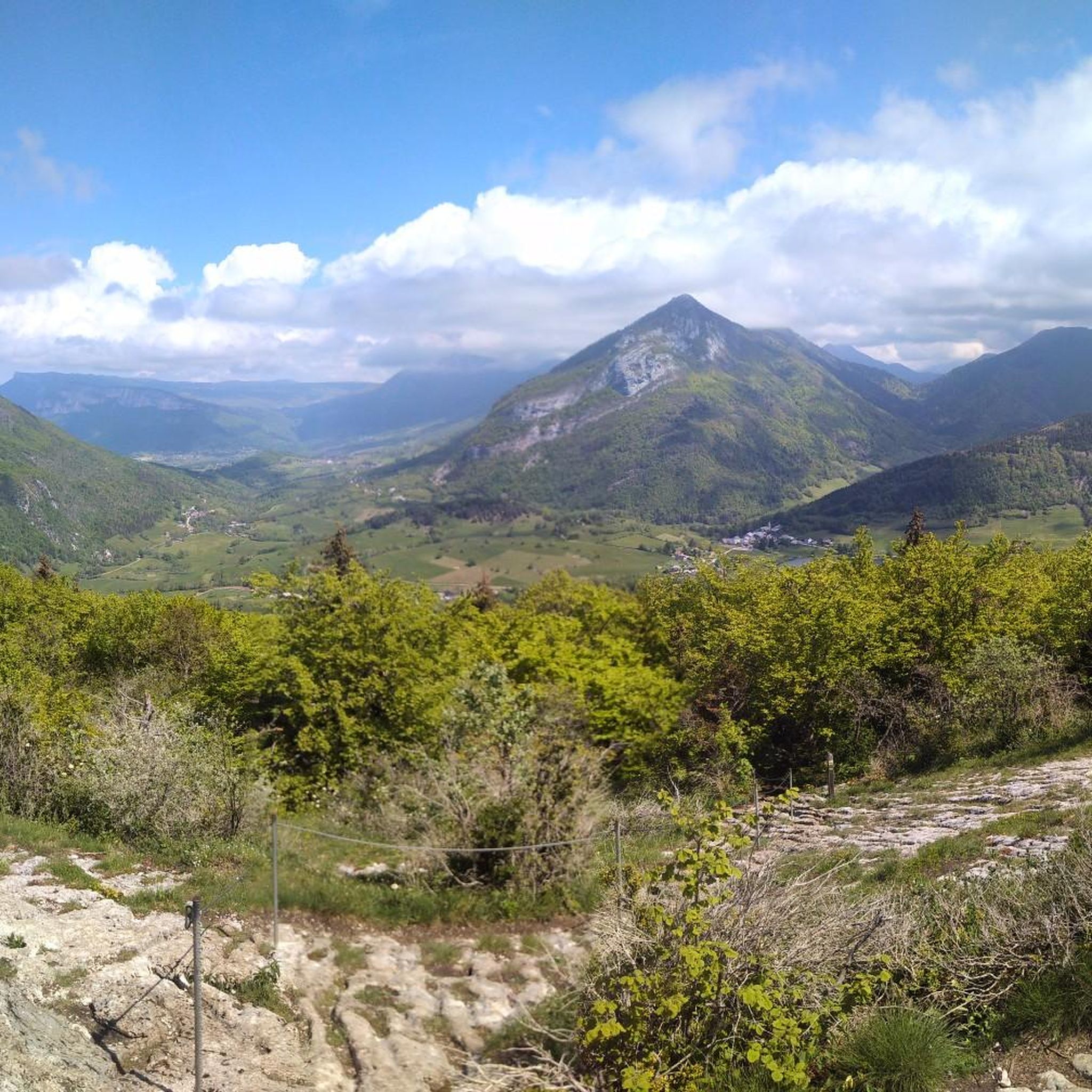
Wonderful panorama of the Bauges, the Chambéry valley and all the massifs of the Northern Alps.
0
0

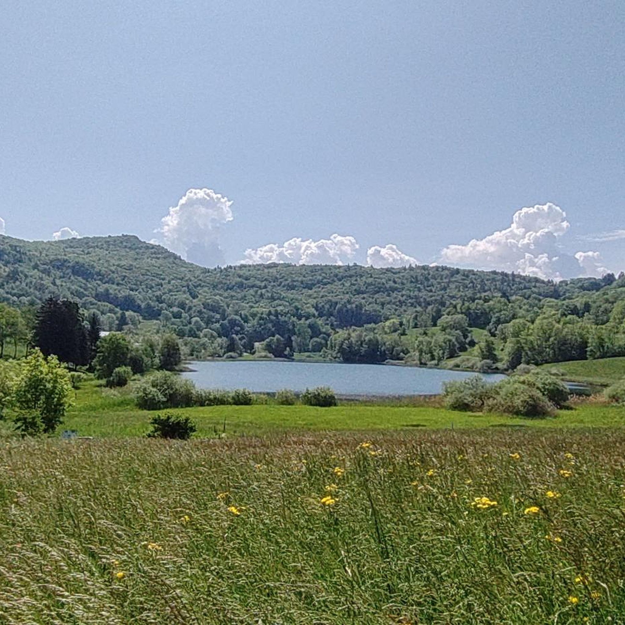
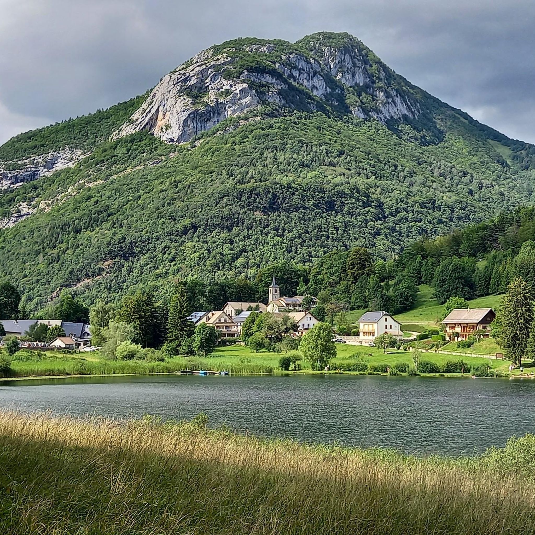
Peaceful lake. With the terrace of the Auberge du Lac to recharge with carbohydrates
1
0

Difficult descent of the Lindar on gravel...I regretted my mountain bike!
0
0

Col de Marocaz from Arbin is a climb in the French Alps region. It has a length of 8.4 kilometers and an ascent of 657 vertical meters with a slope of 7.8% on average, which implies a difficulty level of 613. The summit of the ascent is located at 958 meters above sea level.
0
0

Frequently Asked Questions
How many running routes are available around Planaise?
There are over 320 running routes available around Planaise, offering a wide variety of options for different skill levels and preferences.
What are the difficulty levels of the running trails in Planaise?
The running trails around Planaise cater to various fitness levels. You'll find 27 easy routes, 184 moderate routes, and 113 difficult routes, ensuring there's a suitable path for everyone.
What kind of scenery can I expect while running in Planaise?
Planaise offers diverse and picturesque scenery for runners. You can expect routes through the scenic Combe de Savoie valley, along the Isère River, and within protected marshlands like the Marais des Îles. The area also features tranquil rural and agricultural landscapes, with subtle elevation changes from 272 meters to 419 meters providing varied terrain.
Are there any family-friendly running paths in Planaise?
Yes, Planaise offers 27 easy running routes that are generally suitable for families or those looking for a less strenuous experience. These paths often traverse flatter areas within the Combe de Savoie or along the Isère River, providing a pleasant outing for all.
Can I bring my dog on the running trails in Planaise?
While specific regulations for each trail may vary, generally, dogs are welcome on many outdoor trails in the Planaise region, especially in rural and natural areas. It's always recommended to keep your dog on a leash and ensure you clean up after them to preserve the natural environment for everyone.
What historical sites or attractions can I see along the running routes?
While running around Planaise, you might encounter local heritage sites such as the Saint Sixte Church, the Château de la Betaz, and the Maison forte de l'Horme. The wider area also features natural attractions like Lake Saint-André and various mountain passes such as Marocaz Pass, which can add cultural and scenic interest to your run.
Are there circular running routes available in Planaise?
Yes, many of the running routes around Planaise are designed as loops, allowing you to start and finish at the same point. For example, the challenging Rocher de Manettaz – Rocher du Guet loop from Montmélian is a popular circular option.
What do other runners say about the trails in Planaise?
The running routes in Planaise are highly regarded by the komoot community, boasting an average rating of 4.5 stars from over 80 reviews. Runners often praise the varied terrain, the stunning mountain views, and the peaceful, natural environments found within the protected marshlands and rural landscapes.
What is the best season for running in Planaise?
Planaise offers excellent running opportunities throughout much of the year. Spring and autumn provide pleasant temperatures and vibrant scenery. Summer is also popular, though it's advisable to run in the mornings or evenings to avoid the midday heat. Winter can be beautiful for running, especially on lower-altitude paths, but some higher routes may require appropriate gear or be inaccessible due to snow.
Where can I find parking near the running trails in Planaise?
While specific parking areas aren't detailed for every route, many trails around Planaise, especially those starting from nearby towns like Cruet or Montmélian, typically have designated parking at their starting points or in village centers. It's recommended to check the route details on komoot for specific parking information before you go.
Are there any long-distance running options in Planaise?
Yes, Planaise offers several challenging long-distance running options. For instance, the Lac de La Thuile – Pointe de la Galoppaz loop from Cruet is a substantial 15.0 miles (24.2 km) trail with significant elevation, perfect for endurance runners. Another option is the Lake Carouge loop from Montmélian, which spans 27.0 km.
What makes the marshlands in Planaise unique for running?
The Marais des Îles, de La Sagne, and de La Bétaz marshes are designated Natura 2000 protected areas, covering over 10% of Planaise. These sites offer unique opportunities for trail running amidst rich biodiversity and tranquil natural environments. Running through these marshlands provides a peaceful escape and a chance to experience a distinct ecosystem.
Most popular routes around Planaise
Most popular attractions around Planaise

Get inspired with the komoot mobile app


Explore more
Browse the best Running Trails & Routes in other regions.
