The best walks and hikes around Planaise
4.4
(516)
6,083
hikers
222
hikes
Hiking around Planaise, located in the Savoie region of the French Alps, offers diverse terrain for outdoor activities. The area is characterized by immaculate peaks, verdant alpine meadows, and deep-blue lakes, providing varied landscapes for exploration. Footpaths traverse mountains, forests, and valleys, with elevations ranging from gentle slopes to challenging climbs. This region, part of the broader Savoie, features protected natural spaces and offers panoramic views of the surrounding Alpine environment.
Best hiking trails around Planaise
- The most popular hiking…
Last updated: July 1, 2026
4.4
(5)
82
hikers
4.30km
01:07
30m
30m
Easy hike. Great for any fitness level. Easily-accessible paths. Suitable for all skill levels.
4.8
(9)
69
hikers
13.1km
06:21
1,010m
1,010m
Hard hike. Very good fitness required. Mostly accessible paths. Sure-footedness required.

Sign up for free
4.0
(2)
27
hikers
7.46km
02:09
180m
180m
Moderate hike. Good fitness required. Mostly accessible paths. Sure-footedness required.
4.8
(9)
74
hikers
13.8km
06:34
1,040m
1,040m
Hard hike. Very good fitness required. Mostly accessible paths. Sure-footedness required.
7
hikers
10.00km
03:25
470m
470m
Moderate hike. Good fitness required. Mostly accessible paths. Sure-footedness required.
Get access to more routes and recommendations from other explorers.
Sign up for free
Already have an account?
Our route recommendations are based on thousands of hikes, rides, and runs completed by other people on komoot.
Start today with a free account
Your next adventure awaits.
Login or Signup

Tips from the Community

a very nice walk completed in 2:30, very varied in terms of level of difficulty
0
0

Have a good walk with good shoes. super nice view
0
0

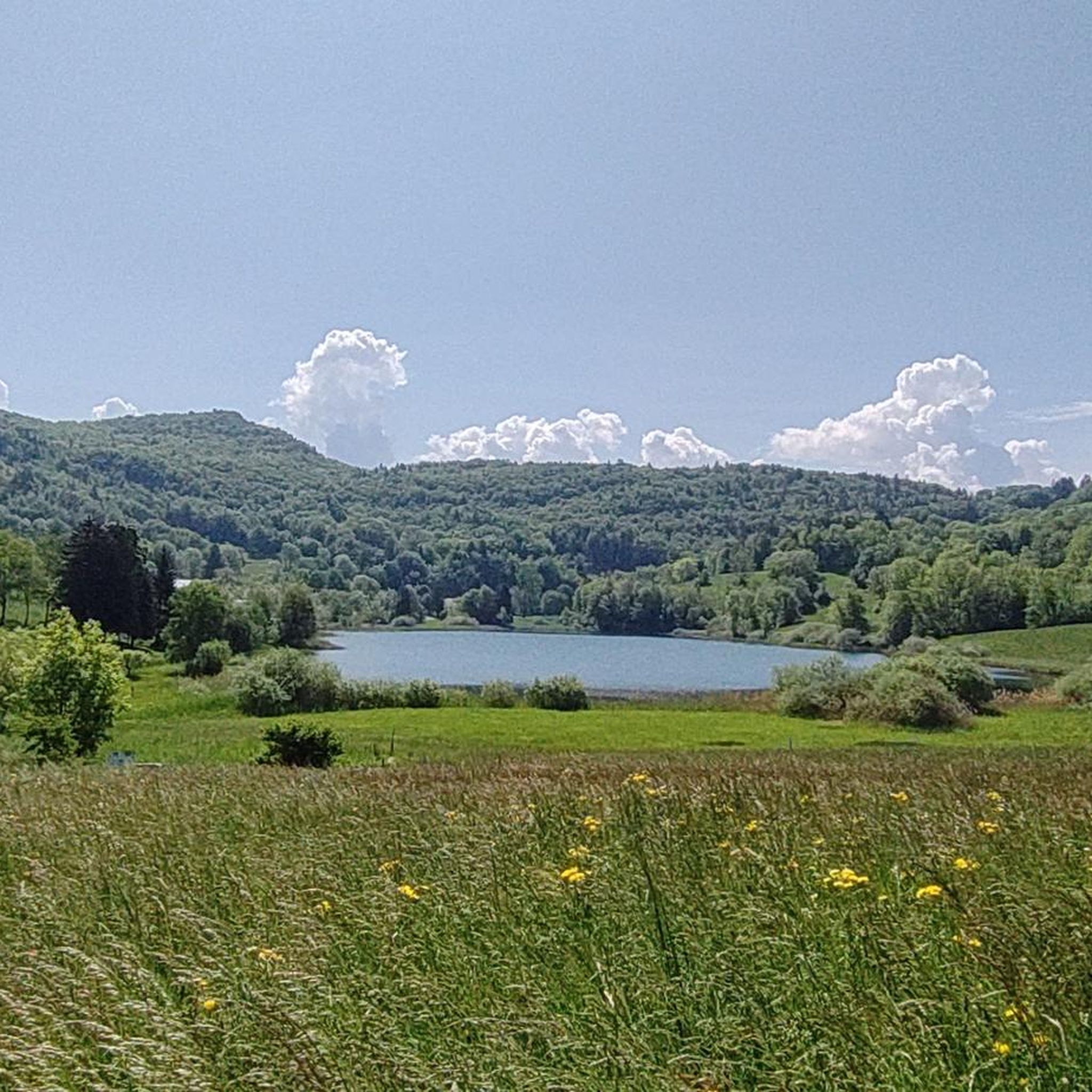
The Lac de Sainte Hélène, a natural lake fed by the Coisetan stream, is a preserved area where the banks remain wild. A landscaped path accessible to people with reduced mobility allows you to go around the lake away from the banks. Ideal picnic point and departure point for hikes. No swimming.
3
0

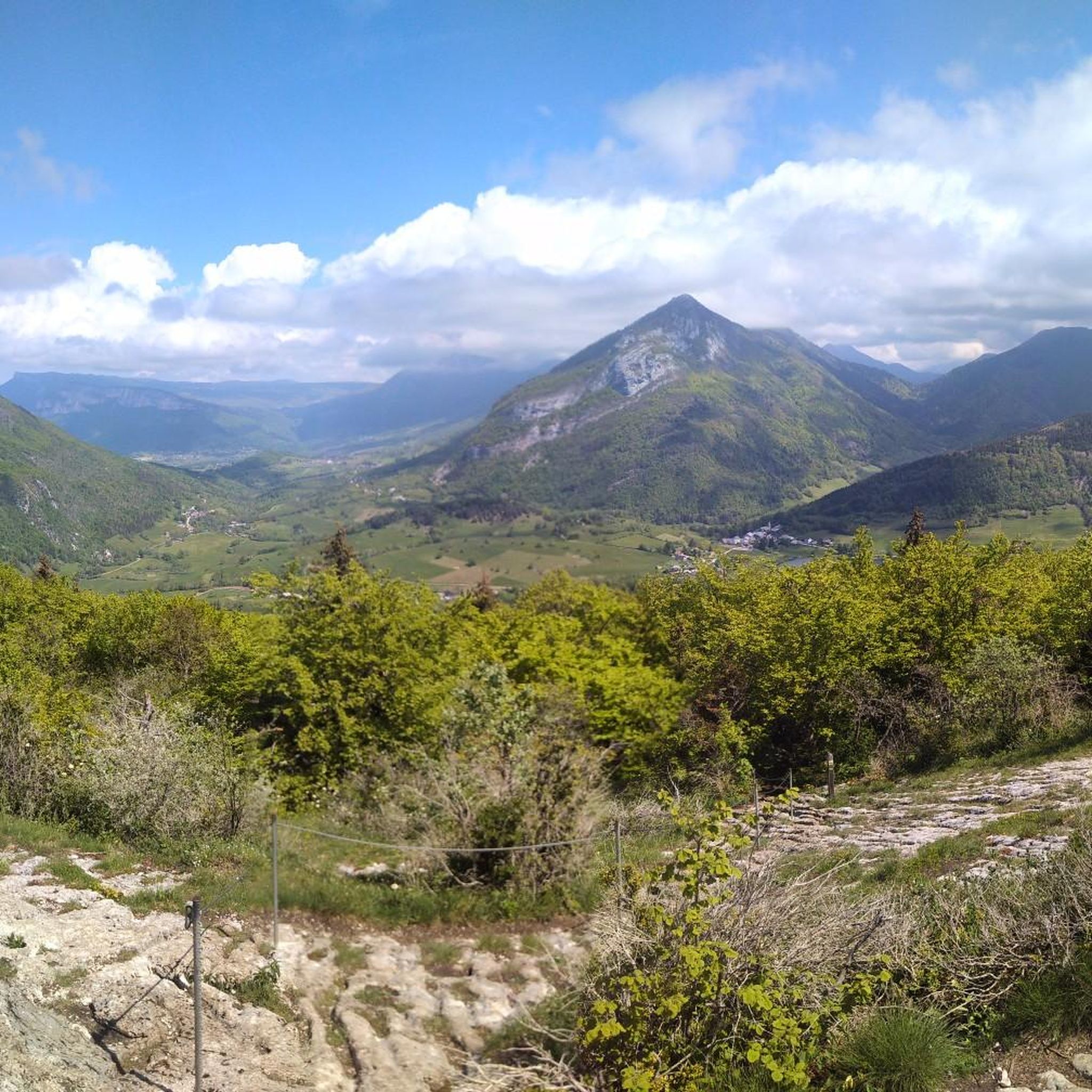
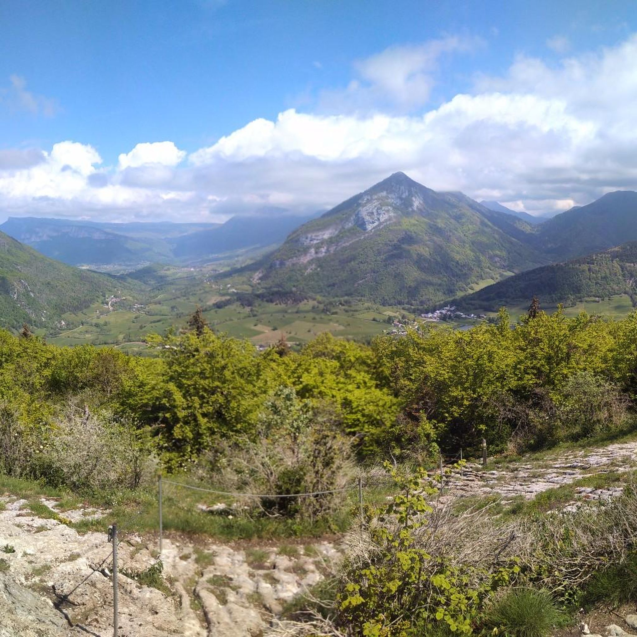
Point of view not easy to access for everyone but very nice!
1
0

The trip there is not always easy. We did it with 3 kids (age 3, 5 and 7). The view at the top is really amazing!
1
0
Frequently Asked Questions
How many hiking trails are available around Planaise?
Planaise, situated in the Savoie region, offers a wide variety of hiking experiences. There are over 200 routes available, catering to different abilities and preferences, from gentle strolls to challenging mountain climbs.
Are there easy hiking options suitable for beginners or families?
Yes, the region provides numerous easy hiking options. Trails are well-marked with difficulty levels, including green for easy routes. You can find over 60 easy trails around Planaise, perfect for a relaxed outing or a family adventure. These paths often traverse verdant alpine meadows and forests, offering accessible natural beauty.
What kind of views can I expect on hikes near Planaise?
Hiking around Planaise offers breathtaking views of the French Alps. You can expect panoramic vistas of immaculate peaks, deep-blue lakes, and lush valleys. Some routes provide stunning views of the Mont Blanc massif, while others lead to natural viewpoints like Watch Rock or the View of Lake Saint-André and the Belledonne Range.
Are there any circular hiking routes in the Planaise area?
Yes, circular routes are a popular feature in the Savoie region, allowing hikers to experience varied scenery without retracing their steps. An example is the Hiking loop from Montmélian, which offers views of vineyards and valleys. Many trails are designed as loops, providing diverse perspectives throughout your journey.
Can I bring my dog on the hiking trails around Planaise?
While many areas in the Savoie region are dog-friendly, it's important to be aware of specific regulations, especially within protected areas like the Vanoise National Park. Generally, dogs must be kept on a leash. Always check local signage or park regulations for the specific trail you plan to hike, as rules can vary.
What are some challenging hiking routes for experienced hikers?
For experienced hikers seeking a challenge, Planaise and the surrounding Savoie region offer difficult trails with significant elevation gains and rocky terrain. An example is the Watch Rock – Manettaz Rock loop from Le Pray, an 8.1-mile path featuring expansive panoramic views and demanding ascents. There are 37 difficult routes in the area for those looking for a strenuous adventure.
What are the best times of year to go hiking in Planaise?
The best time for hiking in Planaise is typically from late spring to early autumn (May to October). During these months, the weather is generally mild, and the alpine meadows are vibrant. Summer offers warmer temperatures and full access to higher-altitude trails, while autumn provides stunning fall foliage. Winter hiking is possible but requires specialized gear and awareness of snow conditions.
Are there any interesting natural landmarks or attractions to see along the trails?
Absolutely. The trails around Planaise often lead to or pass by significant natural landmarks. You can explore beautiful lakes such as Lake Saint-André, or traverse mountain passes like Marocaz Pass. The region's diverse landscape also features numerous peaks and viewpoints offering spectacular scenery.
What do other hikers enjoy most about hiking in Planaise?
The hiking experience in Planaise is highly rated by the komoot community, with an average score of 4.4 stars from over 500 reviews. Hikers frequently praise the diverse terrain, from immaculate peaks to verdant alpine meadows, and the well-maintained, clearly marked paths. The stunning panoramic views and the variety of routes for all skill levels are also commonly highlighted.
Are there any trails that combine natural beauty with historical features?
Yes, some routes in the Planaise area offer a blend of natural beauty and historical interest. For instance, the Tower – Scenic Pathway loop from Saint-Pierre-de-Soucy leads through varied landscapes and incorporates historical features, providing a rich cultural and outdoor experience.
Are there any hikes that offer views of vineyards?
Yes, the region around Planaise is known for its picturesque vineyards. The Hiking loop from Arbin is an excellent choice for those who wish to enjoy views of the local vineyards while hiking through the scenic landscape.
Can I find routes that include lakes or mountain passes?
Certainly. Many routes in the Planaise area incorporate beautiful natural features like lakes and mountain passes. The Marocaz Pass – Lake La Thuile loop from Cruet is a great example, allowing you to experience both a significant mountain pass and a serene lake during your hike.
Most popular routes around Planaise
Most popular attractions around Planaise

Get inspired with the komoot mobile app


Explore more
Browse the best Hikes in other regions.
