Attractions and Places To See around Ruggenfrans - Top 20
Best attractions and places to see around Ruggenfrans include a network of historic canals and towpaths, alongside significant historical fortifications. This region offers opportunities for exploring waterways and cycling along well-maintained paths. The landscape is characterized by man-made canals, rivers, and historical sites. Visitors can discover both natural beauty and engineering marvels.
Best attractions and places to see around Ruggenfrans
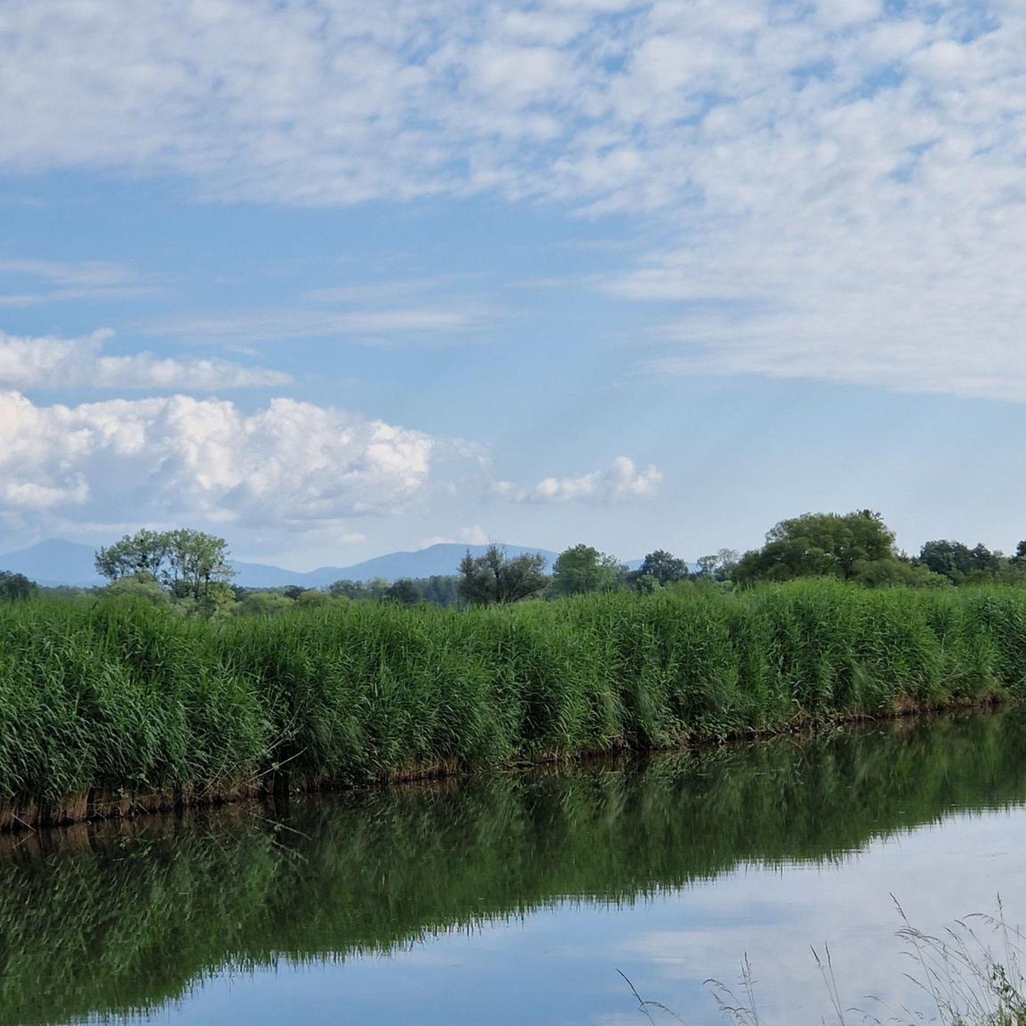
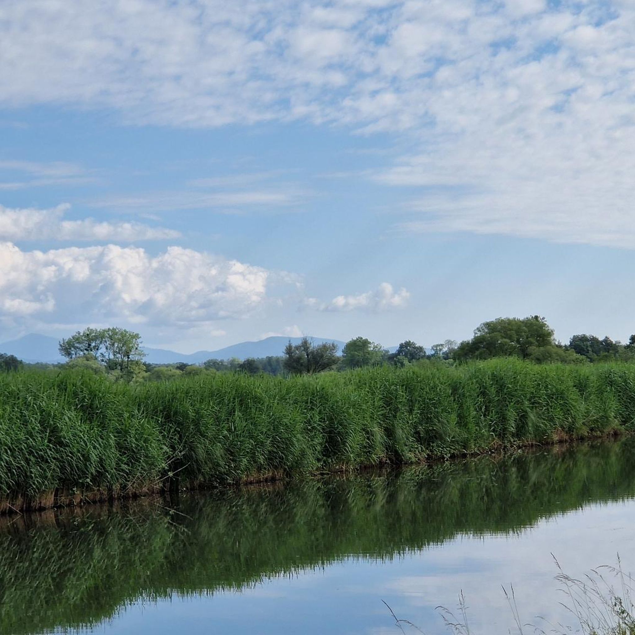
- The most popular attractions is Montbéliard–Haute-Saône Canal beside the Allan, a canal that offers excellent bike trails. It features…
Last updated: July 6, 2026
Montbéliard–Haute-Saône Canal beside the Allan
Highlight • River
The Haute-Saône …
Translated by Google •
Tip by

Valdieu-Lutran lock scale
Highlight (Segment) • Other
Translated by Google •
Tip by

Sign up now to discover places like this
Get recommendations on the best single tracks, peaks, & plenty of other exciting outdoor places.
Sign up for free
Chemin de Halage Allenjoie, EV6
Highlight • Cycleway
Translated by Google •
Tip by
Canal du Rhône au Rhin
Highlight • River
Translated by Google •
Tip by
Fort Senarmont, Bessoncourt
Highlight • Other
Translated by Google •
Tip by

Sign up for free to discover even more attractions around Ruggenfrans.
Sign up for free
Already have an account?
Start today with a free account
Your next adventure awaits.
Login or Signup


Tips from the Community

A "chemin de halage", in German "treidelpfad", which runs alongside the waterway right next to the bed of the river or canal, was an indispensable part of the transport infrastructure in earlier times. Before ships could move using motor power, horses ran along the bank and pulled the ship against the current. This was called "treideln", and this is how the "treidelpfads" got their name, which has been passed down to this day. Where these paths directly on the bank have been preserved, they are often used by hikers and cyclists.
0
1

Beautiful scenery and nice cycle path.
0
0

Very nice and quiet place.
0
0
It's a very nice and easy bike ride.
0
0
Nice bike path and beautiful scenery.
1
0
Beautiful cycle path and one of countless locks.
0
0

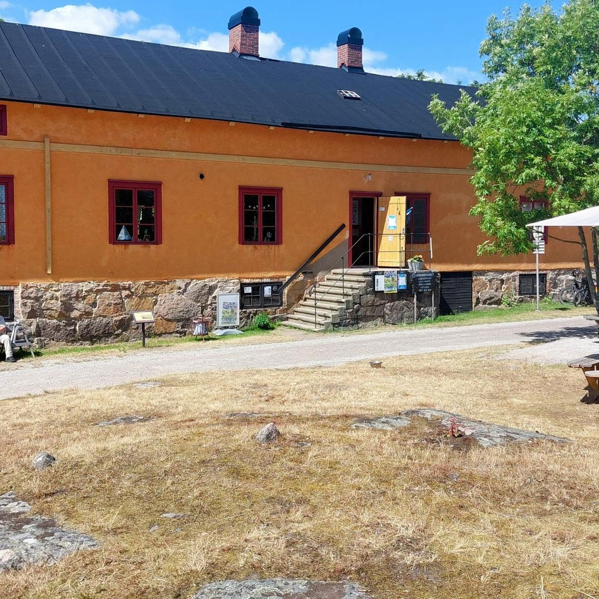
Great impression of these locks with the lock keepers' houses. Gems and places to unwind. Just beautiful
4
0

Beautiful view of the Le Doubs river and the riparian vegetation. Riparian forest is the set of wooded, bushy and herbaceous formations present on the banks of a watercourse. The Doubs is a French and Swiss river, a sub-tributary of the Rhône by the Saône. He gave his name to the French department of Doubs. With a total length of 453 km, including 430 km on French territory, it constitutes the tenth French river by length and the fourth river after the Marne, the Lot and the Saône.
4
0
Frequently Asked Questions
What kind of attractions can I find around Ruggenfrans?
The region around Ruggenfrans is characterized by a network of historic canals, towpaths, and significant historical fortifications. You'll find opportunities for cycling along well-maintained paths and exploring historical landmarks like forts.
Are there good cycling routes near the attractions?
Yes, cycling is a popular activity here. The Montbéliard–Haute-Saône Canal beside the Allan offers excellent bike trails with a well-maintained path. Another great option is the Chemin de Halage Allenjoie, EV6, which is part of the EuroVelo 6 route, providing a 50 km path between Mulhouse and Montbéliard without direct contact with country roads. The Canal du Rhône au Rhin also features a towpath ideal for cyclists.
What historical sites can I visit in the area?
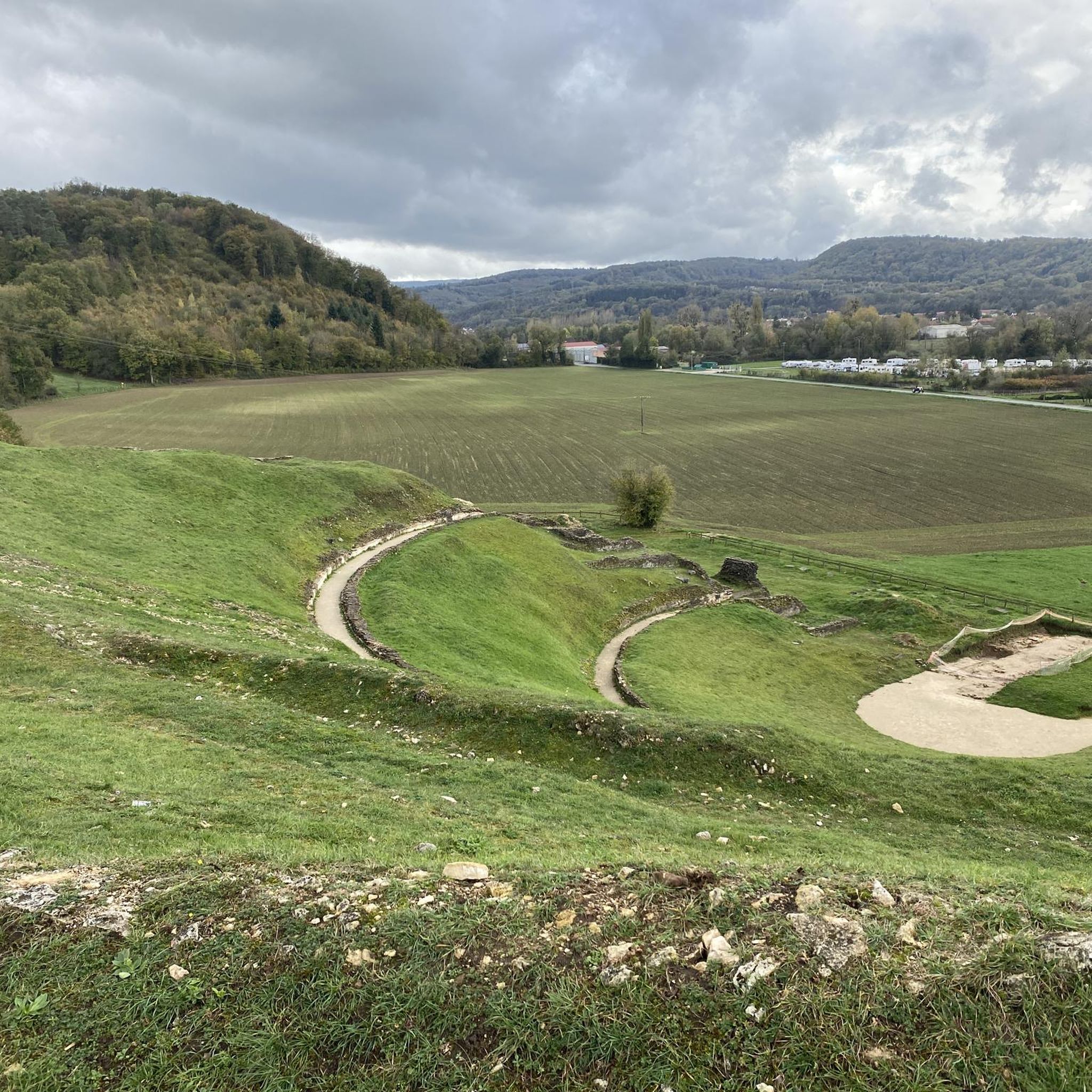
A prominent historical site is Fort Senarmont, Bessoncourt. This large pentagonal limestone structure was built between 1883 and 1886 for defense, housing approximately 650 men and 30 artillery pieces. It's a significant example of 19th-century military architecture.
Are there any family-friendly attractions around Ruggenfrans?
Many of the canal towpaths, such as those along the Montbéliard–Haute-Saône Canal beside the Allan, the Chemin de Halage Allenjoie, EV6, and the Canal du Rhône au Rhin, are suitable for family outings, offering safe and scenic environments for walking and cycling away from traffic.
What are the best ways to experience the canals?
The canals are best experienced by cycling or walking along their well-maintained towpaths. Highlights like the Montbéliard–Haute-Saône Canal beside the Allan and the Canal du Rhône au Rhin offer picturesque routes. You can also observe the engineering marvels of the waterways, such as the Valdieu-Lutran lock scale, where boats navigate significant height differences.
What do visitors particularly enjoy about the attractions here?
Visitors frequently praise the well-maintained bike paths along the canals and the beautiful scenery. The impressive meanders of the river L'Allan and the peaceful atmosphere of the lock systems are often highlighted. The historical significance of sites like Fort Senarmont also draws considerable interest.
Where can I find more routes for outdoor activities like mountain biking or gravel biking?
For mountain biking, you can explore routes like the 'Justice Fort – Miotte Tower loop' or 'EuroVelo 6 at Bourogne – Fort de Meroux loop'. For gravel biking, consider 'La porte d'Alsace' or 'EV6 and bridge over the Allan – La Coulée Verte loop'. You can find more details and routes in the dedicated guides for MTB Trails around Ruggenfrans, Cycling around Ruggenfrans, and Gravel biking around Ruggenfrans.
Are there any easy walking routes suitable for all abilities?
The towpaths along the canals, such as the Chemin de Halage Allenjoie, EV6, are generally flat and well-maintained, making them suitable for easy walks. These paths offer a pleasant experience through natural landscapes without significant elevation changes.
What is the significance of the Valdieu-Lutran lock scale?
The Valdieu-Lutran lock scale is an impressive series of locks that allow boats to navigate significant height differences. It's a fascinating example of canal engineering, where in several steps, a difference in height is driven up or down, offering a unique insight into the region's waterway infrastructure.
Can I find facilities along the Canal du Rhône au Rhin?
Yes, along the Canal du Rhône au Rhin, you can find facilities such as the Montreux-Château river stop. This stopover provides amenities for boaters and cyclists, including a green, calm, and flowery area, a floating restaurant 'La Peniche', and a picnic park with toilets. Automatic terminals offer water and electricity supply.
What is the history behind the canals in this region?
The canals, such as the Haute-Saône Canal (also called the Montbéliard Canal), were largely constructed after the loss of Alsace in 1871. The French government decided in 1878 to build canals in Eastern France to facilitate the circulation of goods, particularly Lorraine steel products, towards Franche-Comté. The goal was also to serve coal mines and evacuate coal. Projects like the Eastern Canal were completed around 1887, connecting various regions.
Most popular routes around Ruggenfrans

Get inspired with the komoot mobile app


Explore more
Still not found the Highlight you’re looking for? See guides of the top attractions in other regions:
