The best walks and hikes around Ruggenfrans
4.5
(246)
1,299
hikers
119
hikes
Hiking around Ruggenfrans offers exploration of a tranquil countryside in the Territoire de Belfort region. The village is situated at an average altitude of 350 meters and is traversed by the small river La Madeleine. Hikers can expect paths winding through forested areas and open countryside, providing a serene outdoor experience.
Best hiking trails around Ruggenfrans
- The most popular hiking route is Cows in the Countryside – Other oak loop from Autrechêne, a 5.6 miles (9.0 km) trail that…
Last updated: July 5, 2026
3.7
(3)
15
hikers
9.05km
02:20
50m
50m
Moderate hike. Good fitness required. Easily-accessible paths. Suitable for all skill levels.
3.7
(3)
15
hikers
9.15km
02:22
50m
50m
Moderate hike. Good fitness required. Easily-accessible paths. Suitable for all skill levels.

Sign up for free
5.0
(1)
11
hikers
8.23km
02:07
40m
40m
Moderate hike. Good fitness required. Easily-accessible paths. Suitable for all skill levels.
4.0
(2)
9
hikers
9.05km
02:22
60m
70m
Moderate hike. Good fitness required. Easily-accessible paths. Suitable for all skill levels.
5.0
(2)
9
hikers
6.01km
01:31
10m
10m
Easy hike. Great for any fitness level. Easily-accessible paths. Suitable for all skill levels.
Get access to more routes and recommendations from other explorers.
Sign up for free
Already have an account?
Our route recommendations are based on thousands of hikes, rides, and runs completed by other people on komoot.
Start today with a free account
Your next adventure awaits.
Login or Signup


Tips from the Community

Iconic oak tree, creatively decorated like a hobbit treehouse with painted wooden boards. The rest area has picnic tables and sunny and shady spots.
2
0

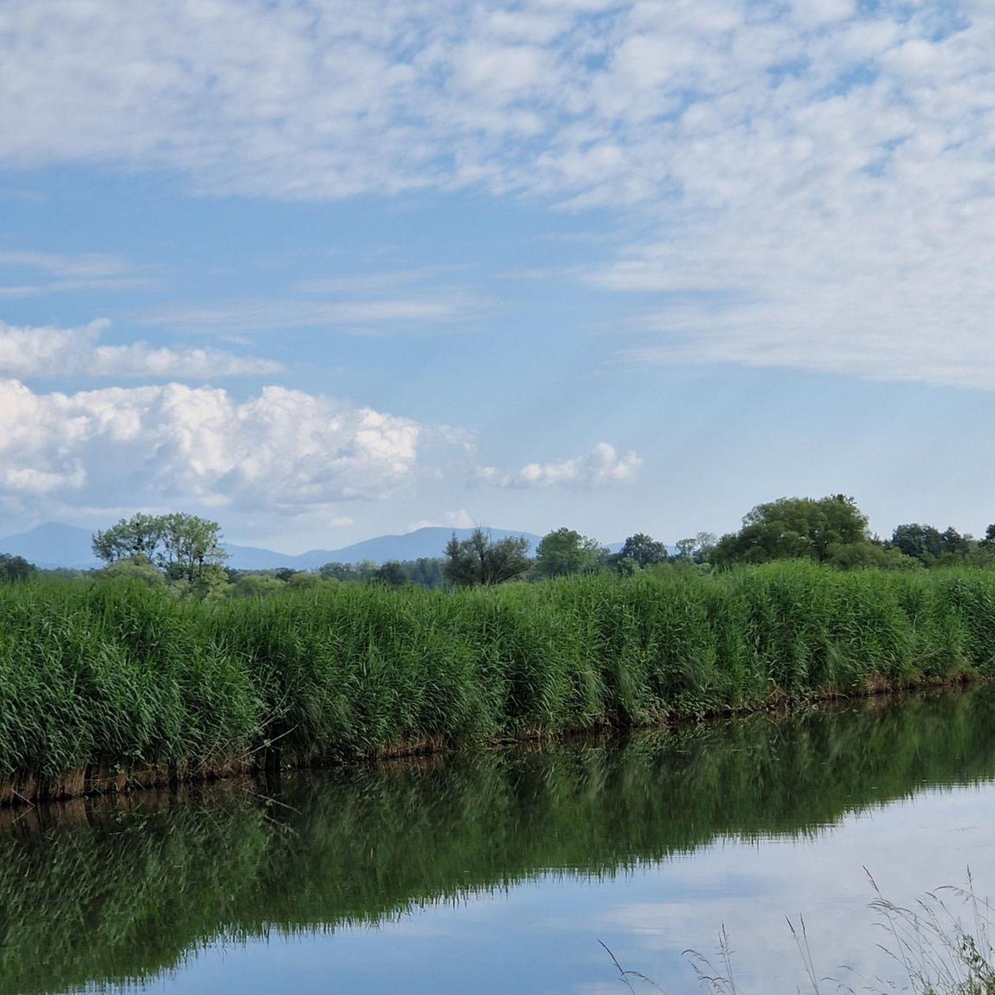
Nice cycle path next to the Rhône canal.
0
0

Canal towpath converted into a cycle path, quiet and smooth. Be attentive, you may be lucky enough to see storks or other beautiful bird specimens.
0
0

The Canal du Rhone au Rhin is repeatedly crossed by bridges.
0
0

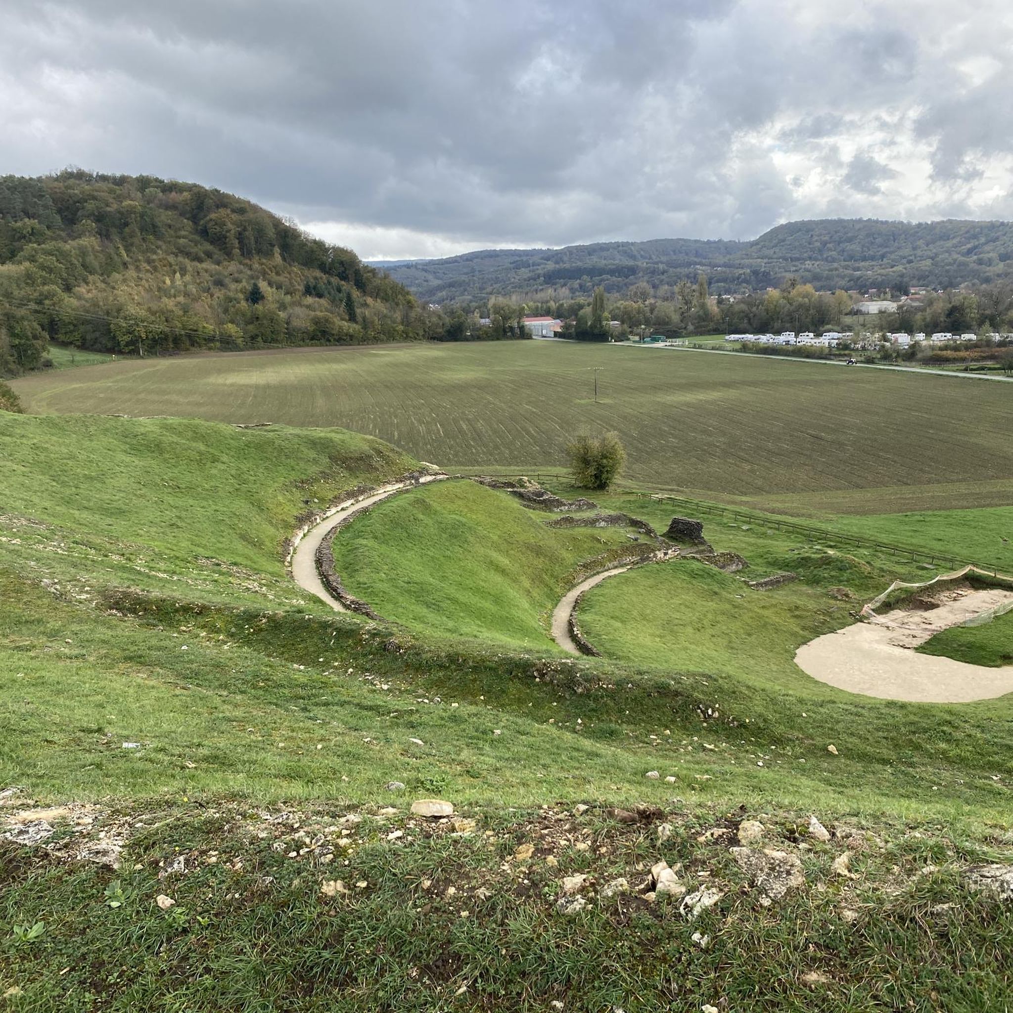
History: The history of Novillard begins before 1251 but it is only on this date that we find the name of the village mentioned in an act concerning the priory of Froidefontaine in the form of Nueviller. The stronghold was part of the seigniory of Rougemont-le-Château in 1125, when Frederick I of Ferrette endowed the monastery of Valdieu, currently in the department of Haut-Rhin. A church then existed in Novillard, whose parish also included Eschêne, Autrage and Rechotte, all three currently grouped together in the commune of Autrechêne. Novillard was also the chief town of a town hall depending on the seigniory of Rougemont (of which it marked the southern limit) then the provostship of Angeot, seigniory of Belfort. The fate of the village generally follows that of the surrounding villages: attachment to the domains of the House of Austria from 1350 to 1648. The Saint-Julien church was built in the 1770s. In 1803 the population was 171 inhabitants, and 210 in the 1999 census. The activity of the commune is essentially agricultural.
0
0
The village is located southeast of Belfort, 11km from the latter. Its territory, which covers 116 hectares, is bordered to the north by the Belfort-Mulhouse railway line. It is crossed by the small river La Madeleine which has its source in the Vosges massif, in the village of La Madeleine precisely. The average altitude is 350m. History: The history of Novillard begins before 1251 but it is only on this date that we find the name of the village mentioned in an act concerning the priory of Froidefontaine in the form of Nueviller. The stronghold was part of the seigniory of Rougemont-le-Château in 1125, when Frederick I of Ferrette endowed the monastery of Valdieu, currently in the department of Haut-Rhin. A church then existed in Novillard, whose parish also included Eschêne, Autrage and Rechotte, all three currently grouped together in the commune of Autrechêne. Novillard was also the chief town of a town hall depending on the seigniory of Rougemont (of which it marked the southern limit) then the provostship of Angeot, seigniory of Belfort. The fate of the village generally follows that of the surrounding villages: attachment to the domains of the House of Austria from 1350 to 1648. The Saint-Julien church was built in the 1770s. In 1803 the population was 171 inhabitants, and 210 in the 1999 census. The activity of the commune is essentially agricultural.
1
0
the first stone was laid in 1748 and the building was inaugurated in 1769. This church is original because it belongs to the two communes of Novilkard and Autrechene.
0
0
🕊️ 𝑻𝒓𝒂𝒗𝒆𝒍𝒆𝒓 The Rhône-Rhine Canal runs alongside the village of Froidefontaine, and the Charmois road is equipped with a swing bridge to cross it. Not to be missed, just a few steps from the cycle path and the canal: the town hall and the church of Saints Peter and Paul. In 1105, in Froidefontaine, Ermentrude, Countess of Montbéliard, decided to found a priory. She established the monks of Cluny there. The church, an integral part of the priory, dates back to this period. The apse and the central nave are Romanesque. Inside, nine stained-glass windows were installed in 1946, the bell is attested in 1682, and a tombstone in the nave dates from 1527. Free admission. https://www.belfort-tourisme.com/monuments/eglise-saints-pierre-et-paul-froidefontaine
7
1
Frequently Asked Questions
How many hiking trails are available around Ruggenfrans?
There are over 110 hiking routes around Ruggenfrans, offering a wide variety of options for different skill levels and preferences. You'll find paths winding through tranquil countryside, forested areas, and along canal towpaths.
What types of trails can I expect in Ruggenfrans?
The trails around Ruggenfrans primarily feature tranquil countryside, forested areas, and pleasant paths along canal towpaths. The terrain is generally gentle, with routes suitable for easy, moderate, and a few more challenging hikes.
Are there easy hiking options suitable for beginners or families?
Yes, Ruggenfrans offers numerous easy hiking options. For instance, the Canal brebote - bourogne loop from Brebotte is an easy 6 km path, perfect for a relaxed stroll. Overall, there are over 60 easy routes to choose from.
Are there any circular walks around Ruggenfrans?
Many of the popular routes around Ruggenfrans are circular, allowing you to start and end in the same location. Examples include the Cows in the Countryside – Other oak loop from Autrechêne and the Montreux-Château Town Hall loop from Montreux-Château.
What unique natural features or attractions can I see while hiking?
Hikers can enjoy the serene river La Madeleine, which traverses the village, and paths through forested areas. A distinctive feature along some routes is an iconic oak tree, creatively decorated to resemble a hobbit treehouse, providing a unique point of interest. You might also spot storks and other beautiful bird species along the canal towpaths.
What is the average length and duration of hikes in this region?
Most hikes around Ruggenfrans are moderate in length, typically ranging from 5 to 9 kilometers. For example, the Cows in the Countryside – Other oak loop from Autrechêne is about 9 km and takes around 2 hours 20 minutes, while the Canal brebote - bourogne loop from Froidefontaine is similar in length and duration.
What do other hikers say about the trails in Ruggenfrans?
The hiking routes in Ruggenfrans are highly rated by the komoot community, with an average score of 4.4 stars from over 200 reviews. Hikers often praise the tranquil countryside, well-maintained paths, and the peaceful atmosphere for a relaxing outdoor experience.
Are there any specific points of interest or landmarks near the hiking trails?
Yes, beyond the trails themselves, you can explore several points of interest. Consider visiting the Montbéliard–Haute-Saône Canal beside the Allan or the Canal du Rhône au Rhin for scenic views. The Fort Senarmont, Bessoncourt also offers a historical landmark nearby.
Is Ruggenfrans a good destination for birdwatching?
Yes, particularly along the canal towpaths. The converted cycle paths, such as those found on the Canal brebote - bourogne loop from Froidefontaine, are known for potential sightings of storks and other beautiful bird species, making it an excellent spot for birdwatching.
What is the best time of year to go hiking in Ruggenfrans?
While specific seasonal data isn't available, the tranquil countryside and forested paths suggest that spring and autumn would be ideal for hiking in Ruggenfrans, offering pleasant temperatures and beautiful natural scenery. Summer would also be enjoyable, especially along shaded routes or canal paths.
Are there any moderate difficulty trails for a bit more challenge?
Absolutely. Ruggenfrans offers over 40 moderate trails. The Other oak – Cows in the Countryside loop from Novillard is a popular moderate 9.1 km path that winds through local scenery, providing a slightly more engaging experience than the easy routes.
Most popular routes around Ruggenfrans
Most popular attractions around Ruggenfrans

Get inspired with the komoot mobile app


Explore more
Browse the best Hikes in other regions.
