The best road cycling routes around Breuil-Magné
4.3
(128)
3,680
riders
225
rides
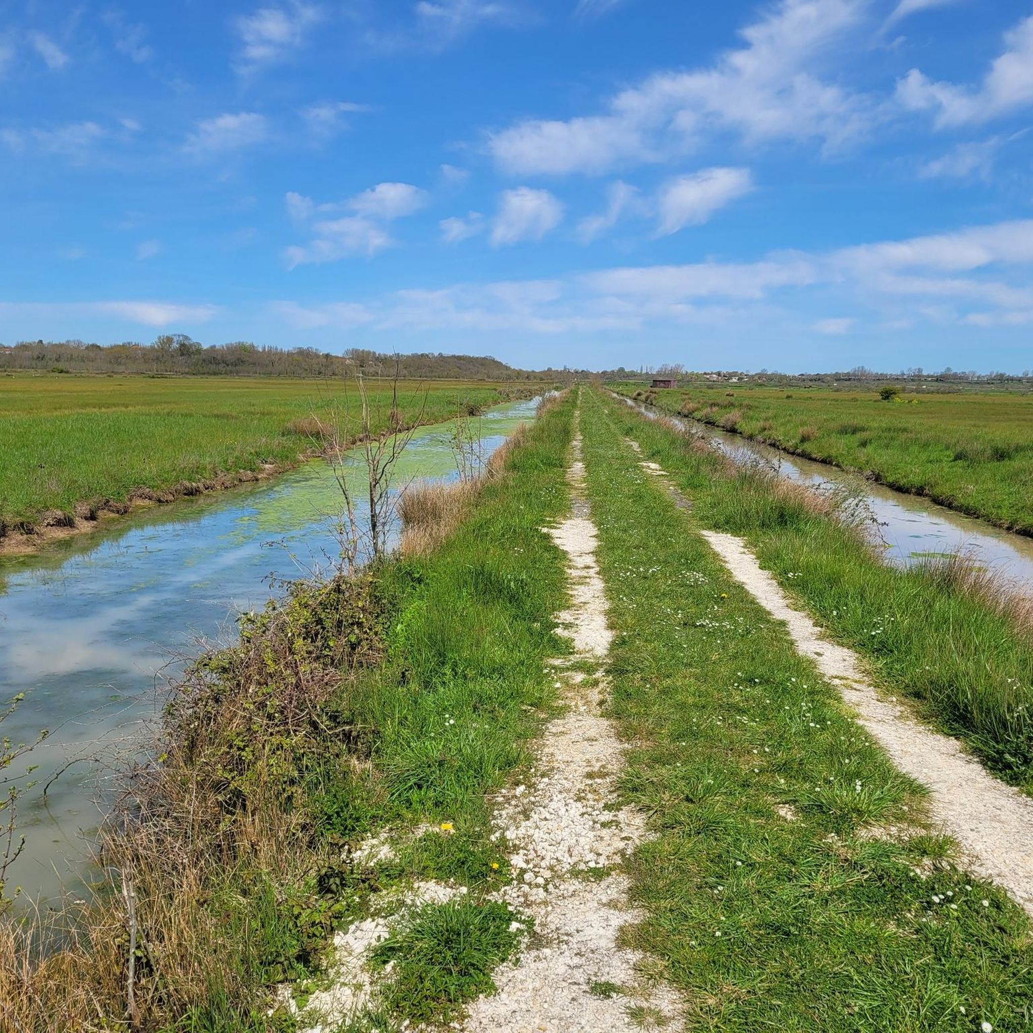
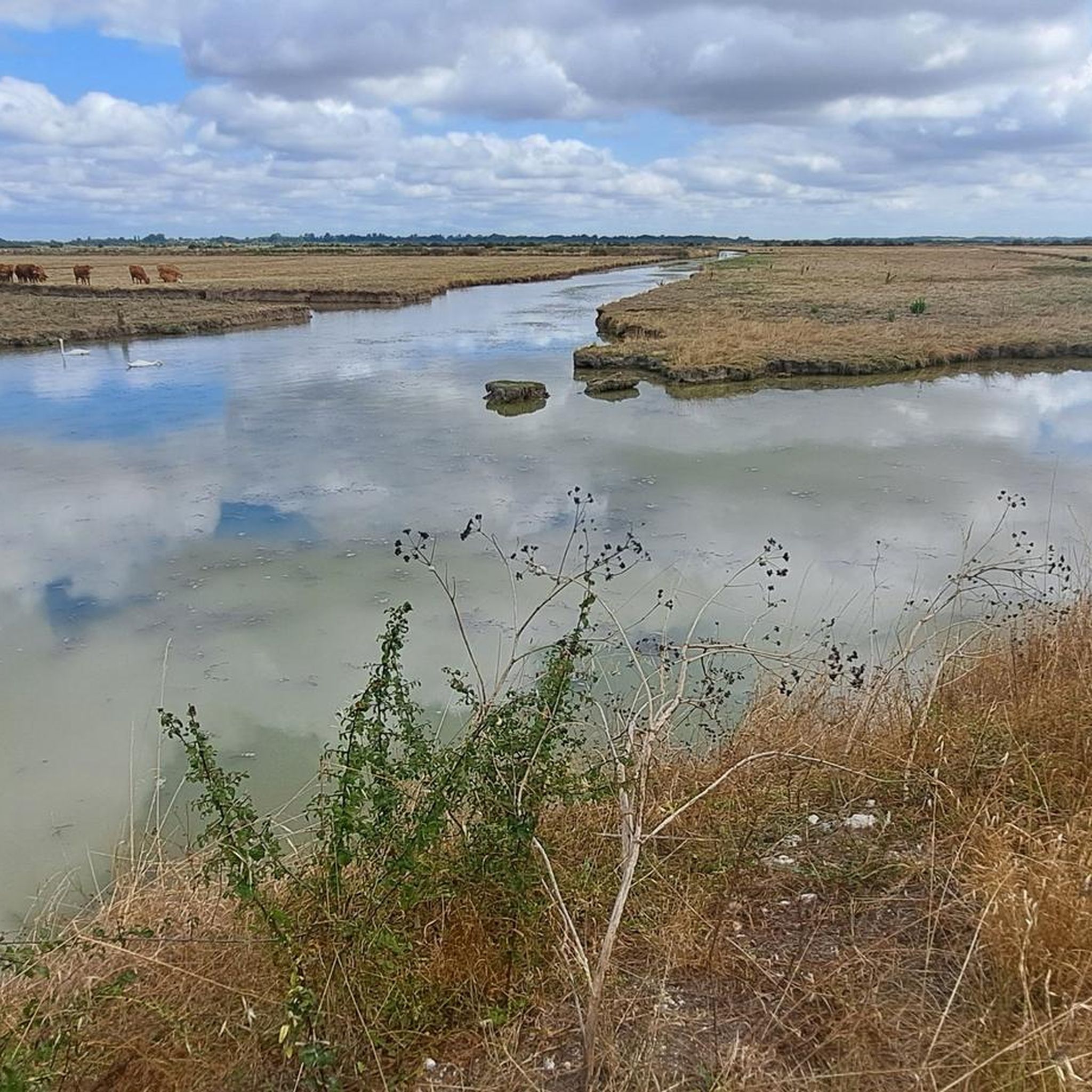
Road cycling routes around Breuil-Magné are characterized by generally flat terrain, with extensive marshlands averaging just 3 meters in altitude. The region features a network of dedicated cycling paths, including sections of the Atlantic Cycling Route, La Vélodyssée. These routes navigate diverse scenery, from cultivated fields and terrestrial islands to coastal areas and the Charente estuary. The landscape offers accessible cycling for various fitness levels, with minimal significant elevation changes.
Best road cycling routes around Breuil-Magné
- The most popular road cycling route is Old Port of La Rochelle – Châtelaillon Beach loop from Saint-Laurent-de-la-Prée - Fouras, a 34.0 miles (54.7 km) trail that takes 2 hours 15 minutes to complete. This route connects coastal towns and offers views of the Atlantic.
- Another top favourite among local road cyclists is Villa La Jetée – View of Fort Boyard loop from Rochefort, a moderate 26.6 miles (42.8 km) path. This route provides scenic views of Fort Boyard and the Charente estuary.
- Local road cyclists also love the Rochefort Maritime Arsenal – Windswept Tree on Cycle Path loop from Saint-Laurent-de-la-Prée - Fouras, a 48.6 miles (78.2 km) trail leading through marsh areas and coastal paths, often completed in about 3 hours 12 minutes.
- Road cycling around Breuil-Magné is defined by extensive marshlands, terrestrial islands, and coastal paths. The network offers options for different ability levels, from easy rides through flat terrain to longer routes exploring the wider region.
- The routes in Breuil-Magné are highly rated by the komoot community with an average score of 4.3 stars from over 100 reviews. More than 3000 road cyclists have used komoot to explore Breuil-Magné's varied terrain.
Last updated: October 18, 2026
4.7
(3)
164
riders
43.2km
01:43
110m
110m
Moderate road ride. Great for any fitness level. Some segments of this route may be unpaved and difficult to ride.
4.4
(7)
151
riders
38.2km
01:35
130m
130m
Easy road ride. Great for any fitness level. Mostly well-paved surfaces and easy to ride.

4.3
(3)
162
riders
127km
05:21
250m
250m
Hard road ride. Very good fitness required. Some segments of this route may be unpaved and difficult to ride.
5.0
(1)
69
riders
100km
04:04
280m
280m
Moderate road ride. Good fitness required. Mostly well-paved surfaces and easy to ride.
40
riders
Moderate road ride. Good fitness required. Some segments of this route may be unpaved and difficult to ride.
Get access to more routes and recommendations from other explorers.
Already have an account?
Our route recommendations are based on thousands of hikes, rides, and runs completed by other people on komoot.
Start today with a free account
Your next adventure awaits.
Tips from the Community

A beautiful view of the islands and Fort Boyard
1
0
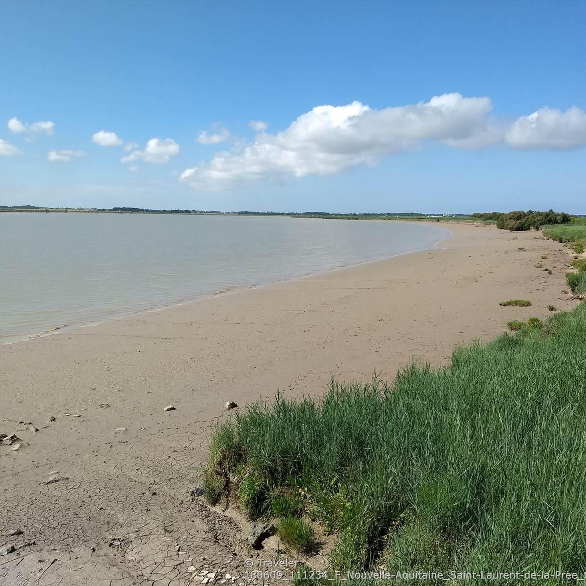
Large, pleasant beach safe for swimming (no risk of currents or "baïnes"). The water is a little warmer here than on the other beaches in the region, especially with low tide around midday. Depending on the season and weather, you might encounter kite enthusiasts (including the Kite Festival) and kitesurfers.
0
0

The port of Douhet, located in the commune of Saint-Georges-d’Oléron, is today a pleasant marina, but its history is intimately linked to the salt and wine trade. Origins Until the 19th century, the region's products (notably salt from the salt marshes and wine from Oléron) were difficult to transport by sea. To remedy this, a vast project was launched in the 1840s: a channel over 3 km long was dug between Saint-Georges-d’Oléron and the ocean, opening onto the new port of Douhet. An active commercial port The port quickly became an export center: * barges loaded salt and wine barrels there; * boats also brought building materials and various goods intended for the island. In the 1870s, there were around 400 ship movements per year, with several thousand tons of goods imported and exported. The decline At the end of the 19th century, several factors led to its decline: * the gradual abandonment of the salt marshes; * the improvement of roads and then the arrival of the tram on the island; * the regular silting up of the channel. After the First World War, the channel silted up almost completely and commercial traffic gradually disappeared. The revival In the late 1980s, the basin was completely rehabilitated and transformed into a marina. It now accommodates around 350 to 400 boats and is one of the main marinas on the island of Oléron. Its location, in the cove of Malconche, offers a remarkable view of Fort Boyard and the Île d’Aix. The old channel, although no longer navigable to the village, continues to supply seawater to the old salt marshes and today constitutes a pleasant walking or cycling route. It is a place where the traces of Oléron's maritime past can still be read in the landscape: the quays, the bridge, the channel, and the old hydraulic structures bear witness to the era when salt was the island's main wealth.
0
0

The view of the fort from the bridge is striking despite the grey weather this morning.
0
0

pretty seaside resort, very charming where life is good 🚶🏻♀️🚶♂️😍☀️🏊♀️🏊♂️
0
0

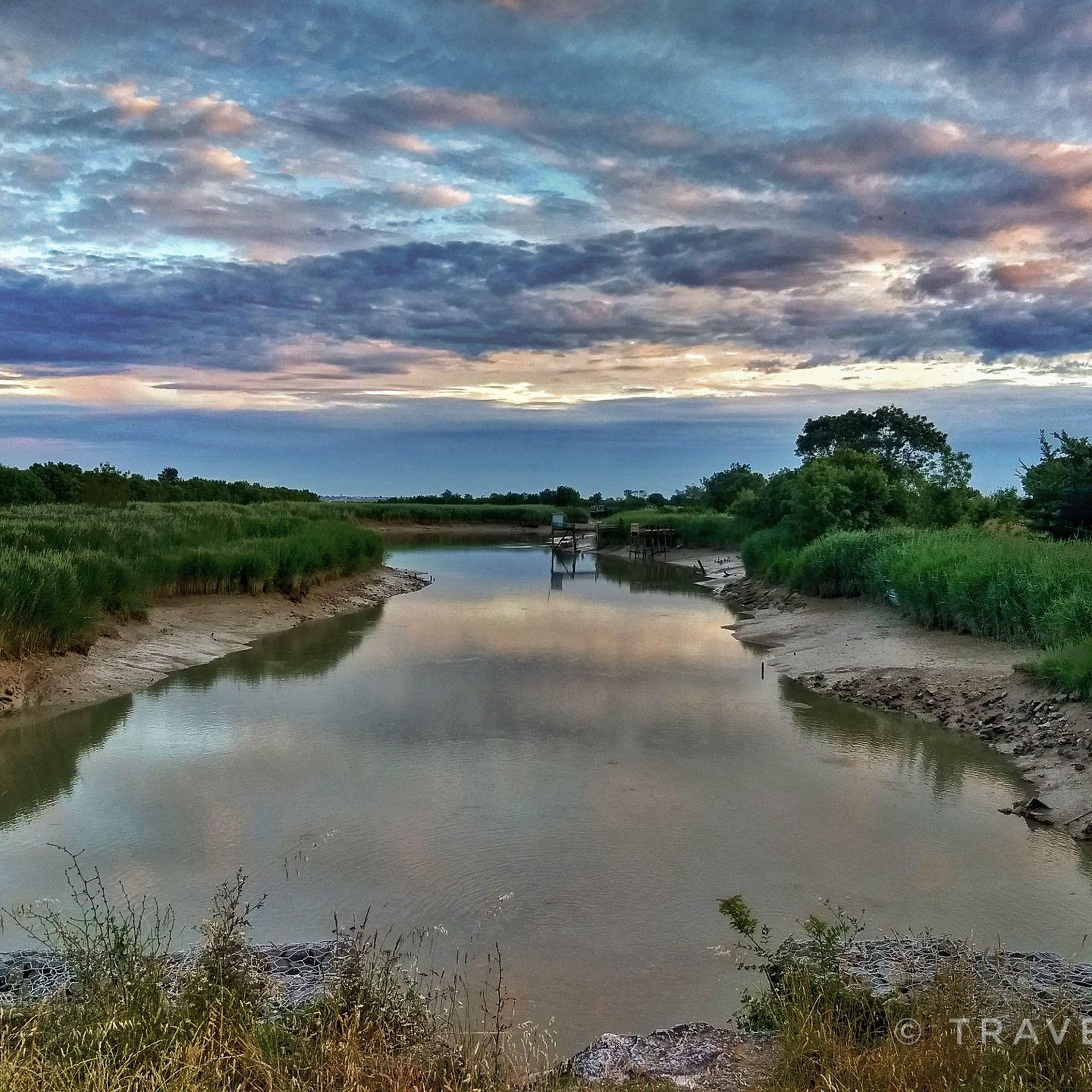
The port of Douhet is essentially the mouth of the Douhet Canal. There are several nice restaurants nearby.
1
0

I love the atmosphere of a casino—the excitement, the glowing screens, the feeling that luck is within reach. I used to go to brick-and-mortar gyms, but due to work and other things, I didn't have enough time. I spent a lot of time searching for a regular site until I found https://www.11croco.com/de. I liked the simple interface and the really large selection of slots. Now, whenever I have a free minute, I go there—the thrill is almost like being in a real casino, only without the dress code and waiting lines.
0
0
Frequently Asked Questions
How many road cycling routes are available around Breuil-Magné?
There are over 230 road cycling routes around Breuil-Magné, catering to various skill levels. The komoot community has explored these routes extensively, with over 3000 road cyclists using komoot to discover the area's diverse terrain.
What is the general terrain like for road cycling in Breuil-Magné?
Road cycling in Breuil-Magné is characterized by generally flat terrain, with extensive marshlands averaging just 3 meters in altitude. While some routes feature slight elevations, such as the 117-meter positive elevation on the 'Au coeur des îles' route, significant climbs are rare, making it accessible for various fitness levels.
Are there routes suitable for beginners or families in Breuil-Magné?
Yes, Breuil-Magné offers numerous routes suitable for beginners and families, thanks to its predominantly flat terrain. There are 41 easy routes available, often utilizing dedicated cycling paths through marsh areas and cultivated fields, providing a relaxed and enjoyable experience.
What natural features or landmarks can I expect to see while cycling in Breuil-Magné?
While cycling in Breuil-Magné, you can expect to encounter diverse scenery including extensive marshlands, cultivated fields, and terrestrial islands like La Lance and Le Liron. Notable natural features include the Marais de Fouras, a natural habitat for various bird species, and the Cabane de Moins Nature Pole/Reserve, a haven for biodiversity. You might also cycle along the Canal de Charras, an integral part of the marsh landscape.
Are there any historical sites or cultural points of interest along the road cycling routes?
Yes, the area around Breuil-Magné is rich in historical and cultural points of interest. You can find the ruins of the 11th-century priory of La Lance, offering historical context and elevated views. Other sites include 15th-century bread ovens in Beauregard and the Gauput Park with its century-old cedar of Lebanon. The nearby city of Rochefort, with its 18th-century corderie, also offers historical charm.
Can I see Fort Boyard from any of the cycling routes?
Yes, some routes offer views of Fort Boyard. For instance, the route Villa La Jetée – View of Fort Boyard loop from Rochefort provides scenic views of Fort Boyard and the Charente estuary.
What is the difficulty level of road cycling routes in Breuil-Magné?
The majority of road cycling routes in Breuil-Magné are classified as moderate, with 192 such routes. There are also 41 easy routes and 5 more challenging options. The region's generally flat terrain means that even moderate routes typically involve minimal elevation changes, making them accessible to a wide range of cyclists.
Are there any long-distance road cycling routes available?
Yes, Breuil-Magné is well-connected to longer cycling paths. The Atlantic Cycling Route, La Vélodyssée, passes nearby, offering a 37.76 km path connecting Rochefort to Marennes. Additionally, routes like Brouage Citadel – Coubre Lighthouse loop from Rochefort cover over 120 km, providing options for longer rides.
Are there circular road cycling routes in Breuil-Magné?
Many of the road cycling routes around Breuil-Magné are designed as loops, allowing you to start and end at the same point. Examples include the popular Old Port of La Rochelle – Châtelaillon Beach loop from Saint-Laurent-de-la-Prée - Fouras and the Rochefort Maritime Arsenal – Windswept Tree on Cycle Path loop from Saint-Laurent-de-la-Prée - Fouras.
What do other road cyclists enjoy the most about road cycling in Breuil-Magné?
The road cycling experience in Breuil-Magné is highly rated by the komoot community, with an average score of 4.3 stars from over 100 reviews. Cyclists often praise the region's diverse scenery, which includes marshlands, coastal paths, and terrestrial islands, as well as the accessibility of its generally flat routes.
What is the best time of year to go road cycling in Breuil-Magné?
The best time for road cycling in Breuil-Magné is generally during the spring and autumn months. These seasons offer pleasant temperatures and less crowded routes. Summer can also be enjoyable, but it's advisable to cycle in the mornings or late afternoons to avoid the midday heat, especially in the open marsh areas.
Are there any specific attractions near the routes that are worth visiting?
Yes, several attractions are easily accessible from the cycling routes. You can visit the Rochefort Transporter Bridge, relax at Châtelaillon Beach, or explore the historic Arsenal entrance in Rochefort. The Tonnay-Charente Suspension Bridge is also a notable landmark.
Is Breuil-Magné well-connected to other cycling destinations?
Breuil-Magné is conveniently located near other notable cycling destinations. It's only 4 km from Rochefort, a town known for its maritime history, and offers easy access to the Atlantic Cycling Route, La Vélodyssée. The charming Ile d'Aix, a small island ideal for cycling, is also easily accessible from the area.
Most popular routes around Breuil-Magné
Most popular attractions around Breuil-Magné

Get inspired with the komoot mobile app


Explore more
Browse the best Road cycling routes in other regions.
