The best MTB trails around Champ-Laurent
4.4
(102)
619
riders
75
rides
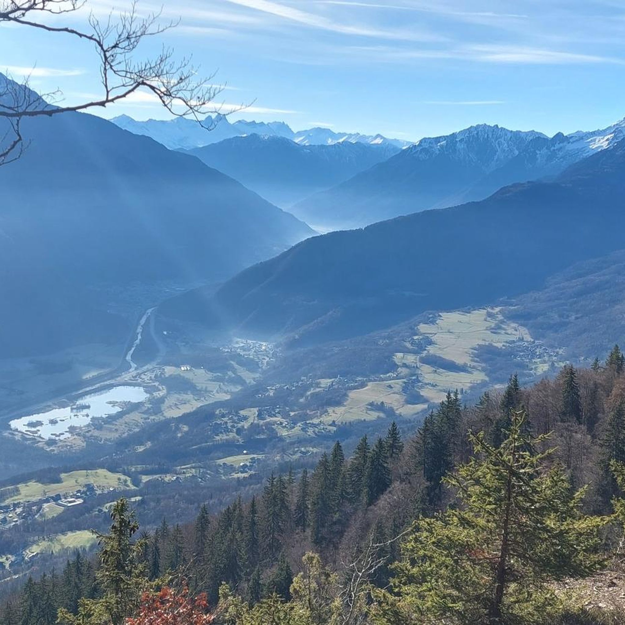
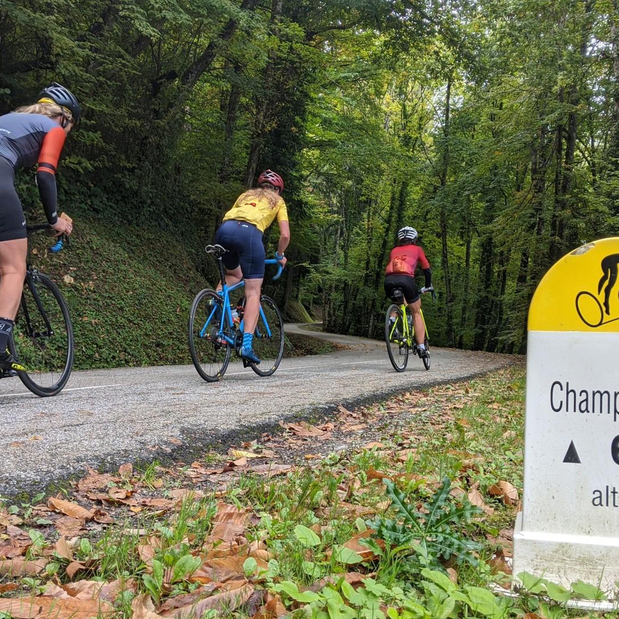
Mountain biking around Champ-Laurent, nestled in the French Alps, offers diverse landscapes characterized by challenging mountain passes and extensive cycling routes. The region features significant elevation changes, with routes traversing valleys, forests, and high-altitude cols. This terrain provides a variety of mountain bike trails suitable for different skill levels, from moderate ascents to demanding climbs. The area is known for its alpine scenery and natural features, including several prominent mountain passes.
Best mountain bike trails around Champ-Laurent
- The most popular…
Last updated: October 4, 2026
5.0
(1)
29
riders
22.8km
03:20
1,280m
1,280m
Hard mountain bike ride. Very good fitness required. Advanced riding skills necessary. Some portions of the route may require you to push your bike.
5.0
(1)
26
riders
25.7km
03:30
1,230m
1,230m
Hard mountain bike ride. Very good fitness required. Advanced riding skills necessary. Some portions of the route may require you to push your bike.

4.0
(2)
10
riders
24.7km
03:02
1,080m
1,080m
Hard mountain bike ride. Very good fitness required. Advanced riding skills necessary. Some portions of the route may require you to push your bike.
1.0
(1)
5
riders
16.3km
02:01
660m
660m
Moderate mountain bike ride. Good fitness required. Suitable for all skill levels.
5.0
(1)
4
riders
22.5km
02:28
820m
820m
Moderate mountain bike ride. Good fitness required. Suitable for all skill levels.
Get access to more routes and recommendations from other explorers.
Already have an account?
Our route recommendations are based on thousands of hikes, rides, and runs completed by other people on komoot.
Start today with a free account
Your next adventure awaits.



Tips from the Community


A sustained climb from Chamoux; for those with the best tire equipment (minimum 25" 4 seasons), it's possible to climb all the way to the Fort itself!
0
0


Used by miners to go back down to the valley, the carts loaded with minerals.
0
0

The Rochebrune yayla is a small village of Inuit yurts and tents surrounded by nature. It is possible to spend the night in a yurt, whether half-board or not (reservation required in advance). Those who just want to pitch the tent can do so in a dedicated area and enjoy a hot shower for € 2. Campers also have access to a water point and dry toilets. The yayla offers a supply service for passing hikers, who can order one or more meals for their arrival. To do this, you must notify the organization of the yayla a week in advance.
0
0
The Montgilbert fort is located at an altitude of 1,630 meters and dates from the 1880s. It then allowed the surveillance of the Arc valley, the According to valleys and the Cucheron pass. It is no longer possible to visit it, but you can get a good overview by approaching the entrance.
0
0
Frequently Asked Questions
How many mountain bike trails are available around Champ-Laurent?
Champ-Laurent offers a wide selection of mountain bike trails, with over 60 routes available. These range from easy paths to challenging ascents, catering to various skill levels.
What kind of terrain can I expect on mountain bike trails in Champ-Laurent?
The terrain around Champ-Laurent is diverse, characterized by challenging mountain passes, scenic valleys, and extensive forests. You'll encounter significant elevation changes, with routes traversing alpine landscapes and offering varied surfaces suitable for mountain biking.
Are there any easy mountain bike trails for beginners in Champ-Laurent?
While many trails in Champ-Laurent are moderate to difficult, there are a few easier options available. The region offers 4 easy routes, which are great for those new to mountain biking or looking for a less strenuous ride.
What are some challenging mountain bike routes for experienced riders?
Experienced riders will find plenty of challenging routes. Consider the Col de la Perche – Arbarétan Pass loop from La Table, a difficult 24.2 km trail with over 1400 meters of elevation gain. Another demanding option is the Col du Grand Cucheron – Arbarétan Pass loop from Bourget-en-Huile, spanning 27.9 km with over 1200 meters of ascent.
What are the best times of year for mountain biking in Champ-Laurent?
The summer months are generally ideal for mountain biking in Champ-Laurent, offering pleasant conditions and access to higher mountain passes. Some routes, like the climb to Col du Grand Cucheron, even offer considerable shade, making them enjoyable during warmer weather.
Are there any circular mountain bike routes in the Champ-Laurent area?
Yes, many mountain bike routes in Champ-Laurent are designed as loops. For example, the Col du Grand Cucheron – Saint-Georges-d'Hurtières loop from Saint-Georges-d'Hurtières is a popular circular trail covering 27.7 km through mountain passes and forests.
What notable landmarks or viewpoints can I expect along the trails?
Mountain biking in Champ-Laurent offers access to several spectacular viewpoints and natural features. You can ride past prominent mountain passes like Marocaz Pass, Col du Frêne, and Col du Grand Cucheron, which provide panoramic views of the Maurienne massif and surrounding alpine landscapes. The Étang de Grésy is also a beautiful spot along some routes.
What do other mountain bikers say about the trails in Champ-Laurent?
The mountain bike trails in Champ-Laurent are highly regarded by the komoot community, with an average rating of 4.4 stars from over 70 reviews. Riders often praise the challenging ascents, diverse landscapes, and stunning alpine scenery.
Are there any mountain bike trails that pass by water features or lakes?
Yes, some routes in the region offer views of or pass by water features. The Étang de Grésy is a beautiful pond that can be a pleasant stop during a ride, with a cycle path running along the valley through this area.
Can I find mountain bike routes that are suitable for families in Champ-Laurent?
While many routes are challenging, the broader region around Champ-Laurent features marked cycle loops that cater to various audiences, including families. Look for the easier-rated trails, which often have less elevation gain and are more suitable for family outings.
Are there any mountain bike trails that offer a good mix of forest and open views?
Absolutely. Many trails in Champ-Laurent traverse varied landscapes, offering a mix of shaded forest sections and open areas with expansive views. Routes like the Prodin – Along the Gelon River loop from Bourget-en-Huile provide a diverse experience through both wooded areas and more open terrain.
What is the typical elevation gain on mountain bike trails in Champ-Laurent?
The mountain bike trails in Champ-Laurent often feature significant elevation gains due to the mountainous terrain. Difficult routes can see ascents of over 1000 meters, such as the Fort Montgilbert loop from Betton-Bettonet, which has over 1150 meters of climbing.
Most popular routes around Champ-Laurent
Most popular attractions around Champ-Laurent

Get inspired with the komoot mobile app


Explore more
Browse the best MTB trails in other regions.
