Top 11 Mountain Passes around Err
Best mountain passes around Err are located within the Eastern Pyrenees, a region characterized by its mountainous terrain and valleys. This area, part of the Alta Cerdanya and French Cerdanya, features passes connecting various valleys and regions like Cerdanya and Ripollès. The landscape includes high mountain passes, natural monuments, and trails suitable for hiking and cycling. The region offers diverse routes through its natural park, providing access to summits and panoramic views.
Best mountain passes around Err
- The most popular…
Last updated: August 19, 2026
Collada de Toses Pass
Highlight • Mountain Pass
Translated by Google •
Tip by

Col de la Perche (1,579 m)
Highlight • Mountain Pass
More information: quaeldich.de/paesse/col-de-la-perche
Translated by Google •
Tip by

Sign up now to discover places like this
Get recommendations on the best single tracks, peaks, & plenty of other exciting outdoor places.
Sign up for free
Col du Calvaire (Font-Romeu)
Highlight • Mountain Pass
Translated by Google •
Tip by

Collada de Fontalba (approx. 2000 m)
Highlight • Mountain Pass
Translated by Google •
Tip by

Pas dels Lladres (2,534 m)
Highlight • Mountain Pass
Translated by Google •
Tip by

Sign up for free to discover even more mountain passes around Err.
Sign up for free
Already have an account?
Start today with a free account
Your next adventure awaits.
Login or Signup


Tips from the Community

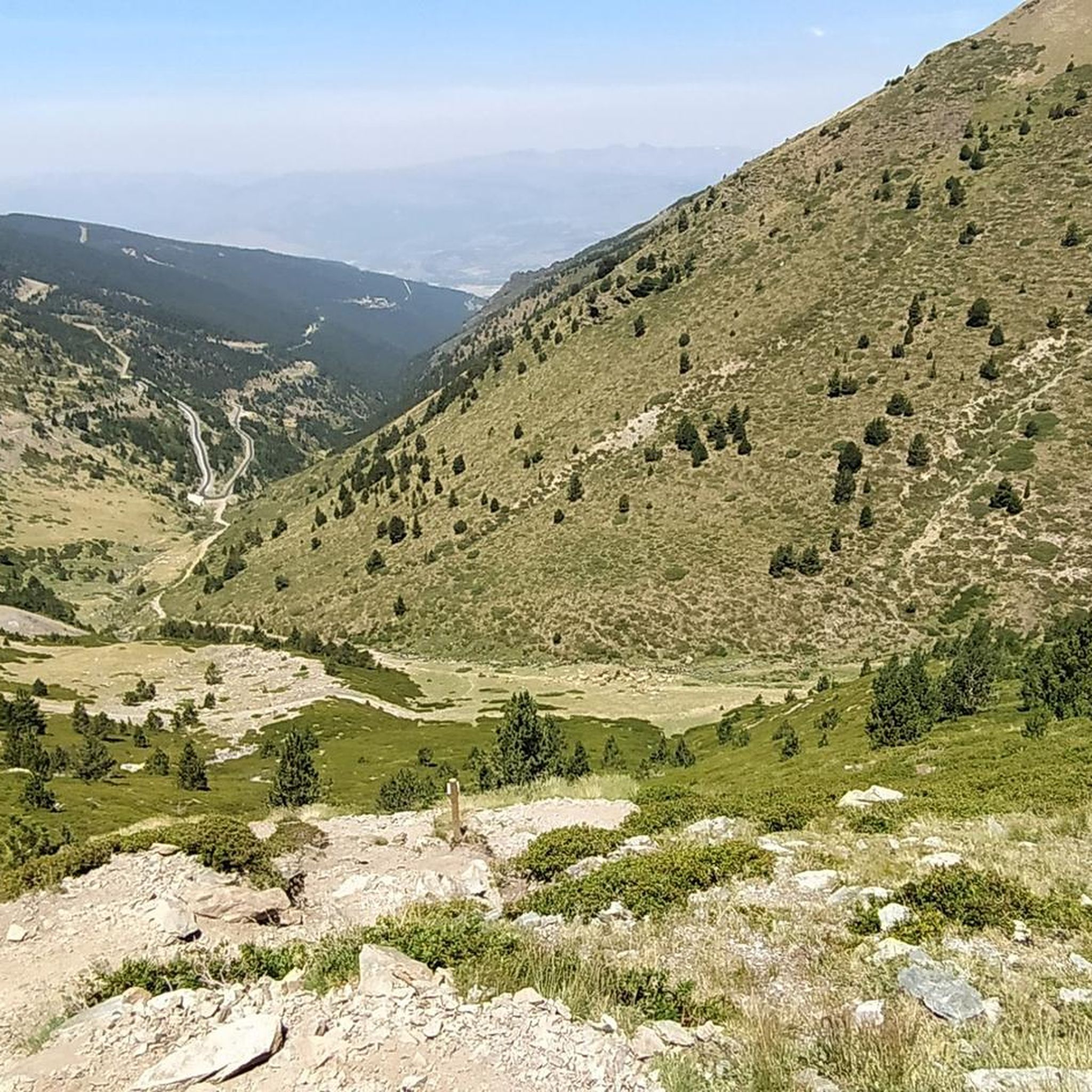
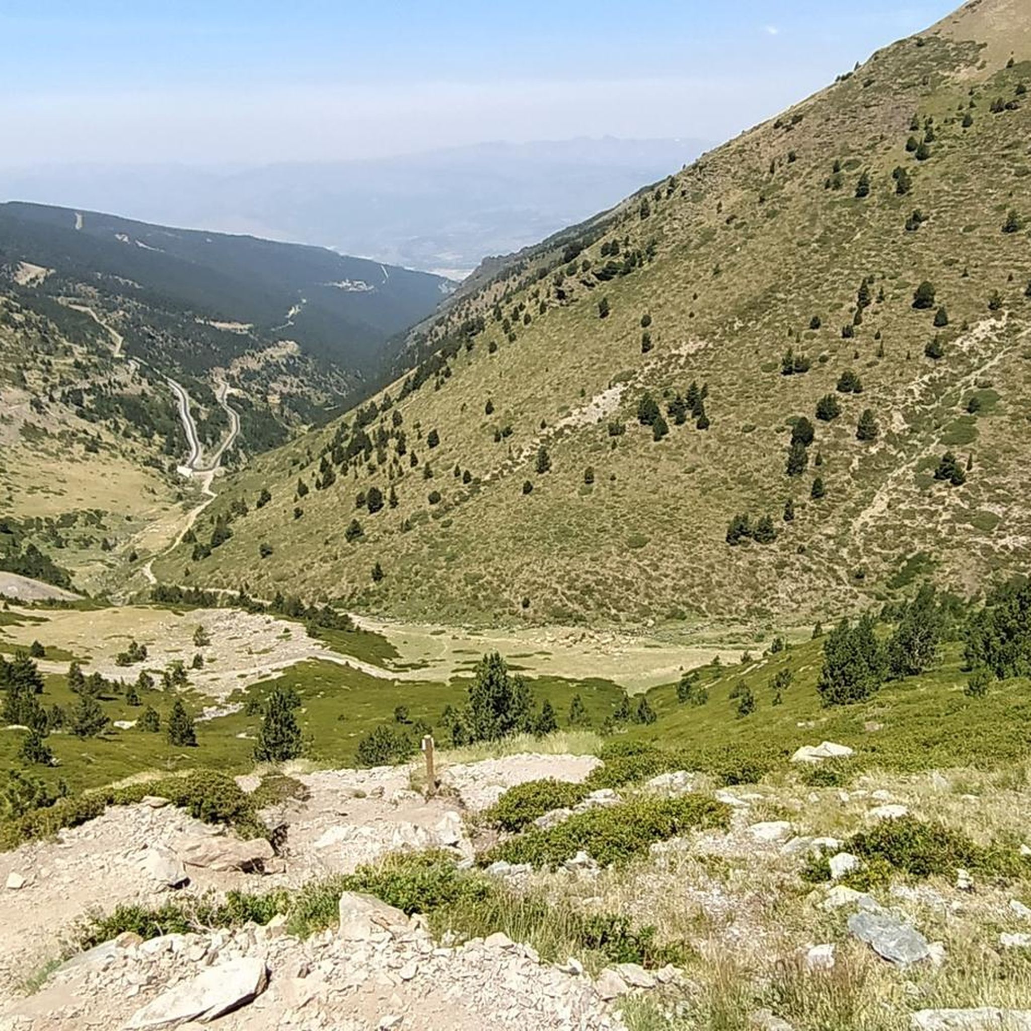
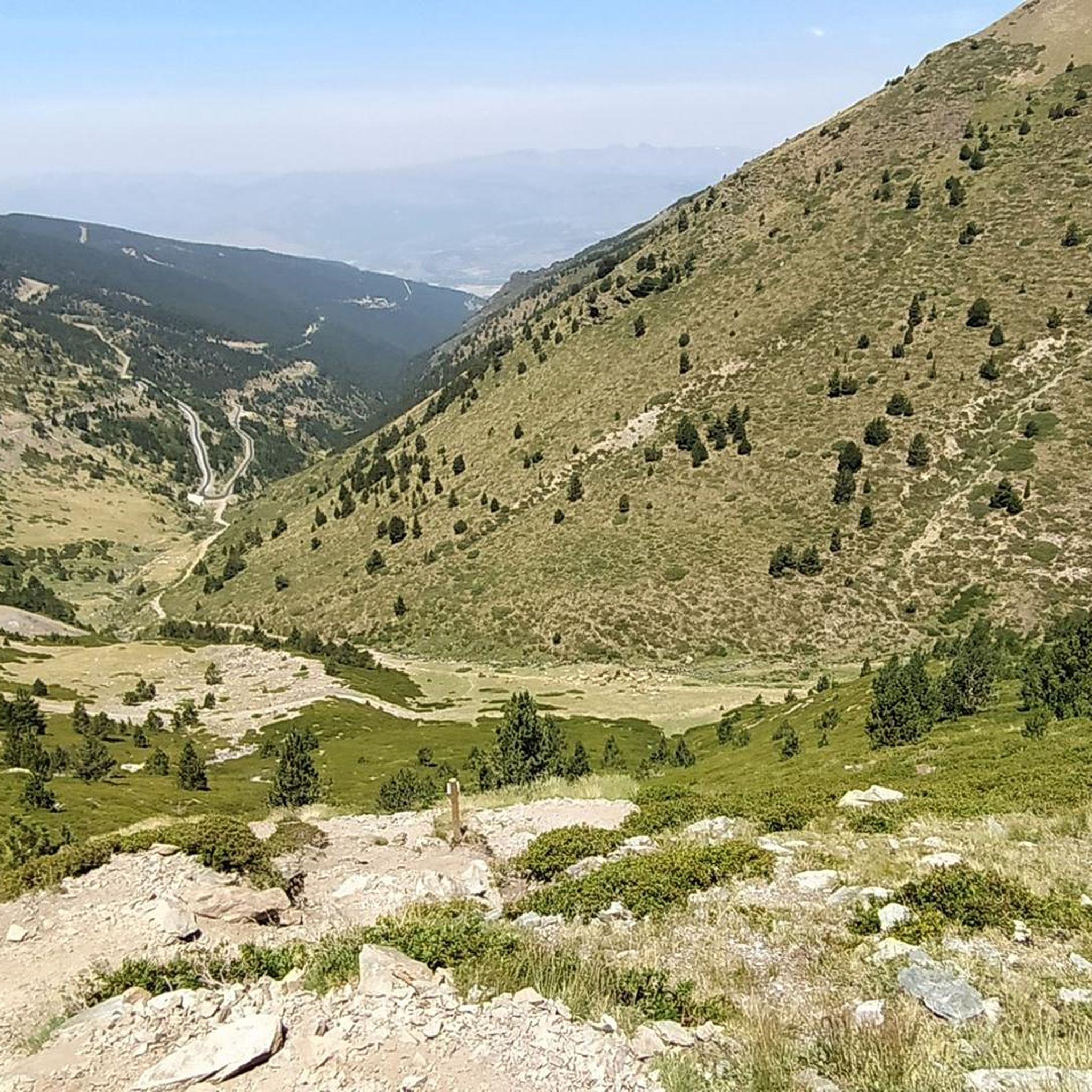
Regular asphalt if it's downhill Bones vistas
0
0

Well, starting from Font Romeu and breaking legs from Mont Louis
0
0

Access to the site is restricted in summer by vehicle, and a reserved spot is required for €5. Overnight parking is not permitted.
1
0

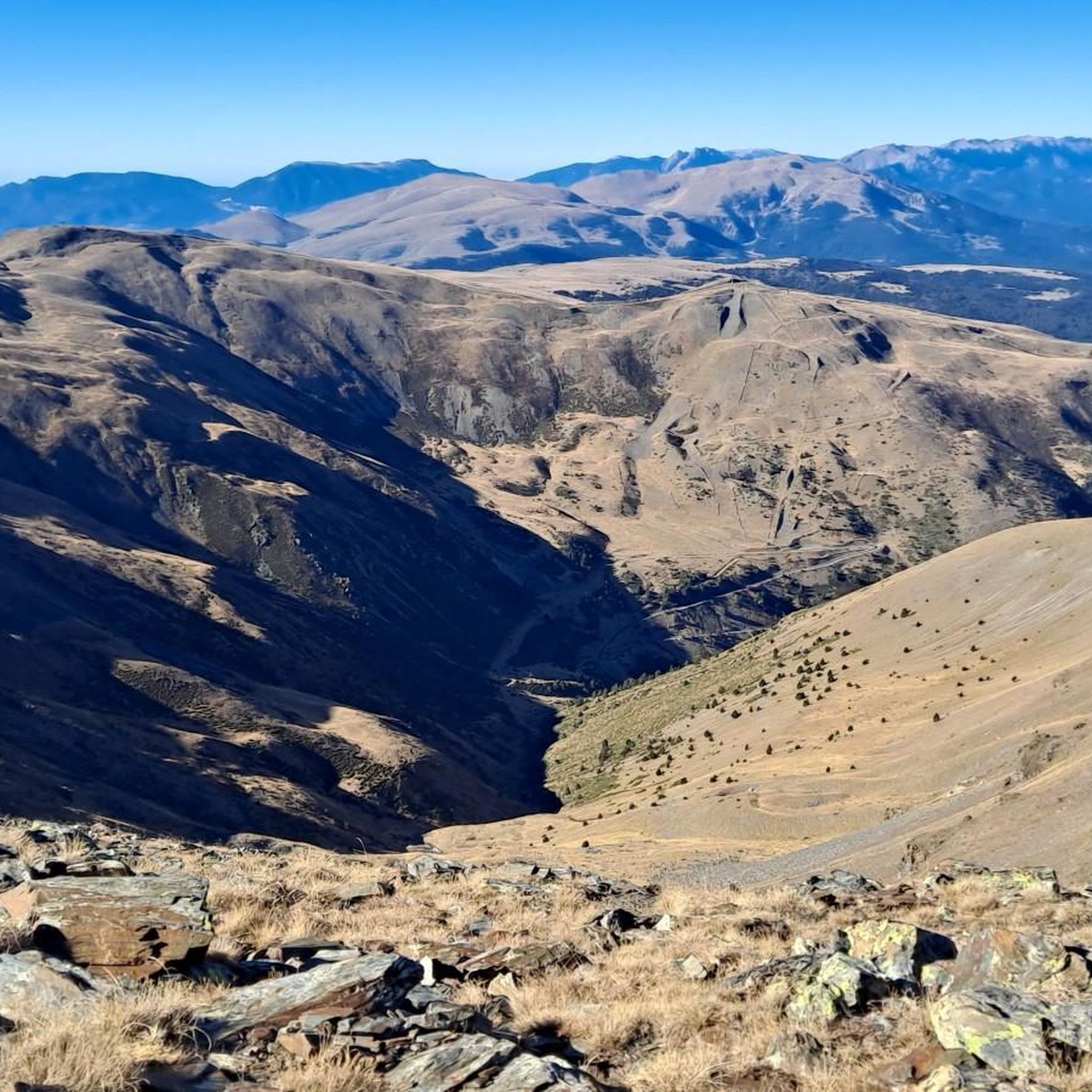
Second port of the 4cims. Long but very laid out. It is worth enjoying its views without putting down the big plate at many times. :)
0
0

The parking area in Fontalba, with a fee during the summer, is the optimal starting point for those who wish to start conquering 3000 meter peaks, starting with Puigmal. This route is not only accessible and direct, but also provides stunning scenery, making it the ideal choice for aspiring mountaineers.
1
0

The Col de la Calvaire de Font Romeu is a mountain pass in French Cerdanya, next to the town and ski resort of Font Romeu. This port connects the Bolquère valley with the Cerdanya valley. The port is within the same town of Font Romeu, next to the station's ski lifts. There are many slopes to reach Col de la Calvaire: - the western slope that starts from Ur is approximately 16 km and crosses the town of Targasone and the Col d'Egat. It is a very steep climb along a road in perfect condition, although on holidays there is a lot of traffic. - The southern slope starts from Llívia and crosses Estavar and joins the previous one at the Col d'Egat. Unlike the first, the first section of the climb is very hard, with several horseshoe curves and with wonderful views of the entire Cerdanya and the Tosa d'Alp. - The eastern slope stops at Olette, and after approximately 28 km it reaches the top of the pass, passing through the town of Mont-Louis and Bolquère. It is a very steep climb, like the first, on a road in perfect condition but with a lot of traffic. I don't like going up here. - the eastern slope that starts from Olette and passes through the Col de la Perche, reaching the town of Font-Romeu and from there to the top. Of all the slopes, the one I like the most is the slope that starts from Llívia and crosses Estavar.
0
0

Culminating at 1,579 meters above sea level, the Col de la Perche can be climbed by four routes in total. Each of them includes relatively gentle slopes. At the top, the view of the surrounding area is splendid and rewards your efforts!
0
0

Coll de Muntanya is a mandatory pass between Cerdanya, Ripollès and Berguedà. Its slopes offer long ports (15-20 kms) and with a good gradient (+700). The descent to Ribes de Freser is spectacular. Crossing point for routes such as the 4 Peaks or the RAG.
0
1
Frequently Asked Questions
What are some of the most notable mountain passes around Err?
The Err region, located in the Eastern Pyrenees, offers several significant mountain passes. Among them, Collada de Fontalba (approx. 2000 m) is a popular starting point for routes to Vall de Núria and Puigmal peak. Another important pass is Collada de Toses Pass, connecting the Ripollès with the Cerdanya region. You can also explore Col de la Perche (1,579 m), known for its views within the Catalan Pyrenees natural park.
What kind of views can I expect from the mountain passes in the Err region?
The mountain passes around Err offer diverse and splendid views. For instance, Col de la Perche (1,579 m) provides 360° panoramas of the surrounding mountains, valleys, and plains within the Catalan Pyrenees natural park. Passes like Pas dels Lladres (2,534 m), a high mountain pass, also offer expansive vistas, often including views of peaks like Pic de Dòrria.
What outdoor activities can I do near the mountain passes around Err?
The Err region is excellent for various outdoor activities. You can find numerous routes for mountain biking, cycling, and running. For mountain biking, explore trails like the 'Path from Nahuja to Err – Coma Morera Summit loop' or the 'Pic dels Moros (2,138 m) – Sheepfold of the Jasse d'Amunt loop' as part of the MTB Trails around Err guide. Cyclists can enjoy routes such as the 'Saint-Julien Church in Estavar – Font-Romeu loop' from the Cycling around Err guide, while runners have options like the 'Coma Morera Peak – Coma Morera Summit loop' from the Running Trails around Err guide.
Are there specific hiking routes associated with the mountain passes near Err?
Yes, many mountain passes serve as gateways to hiking adventures. Collada de Fontalba (approx. 2000 m) is a key starting point for routes leading to Vall de Núria and the Puigmal peak. Pas dels Lladres (2,534 m) is also included in many hiking, skiing, or mountain biking routes in the Cerdanya Pyrenees sector, particularly for ascents to Puigmal from Collet de les Barraques.
Are there family-friendly mountain passes or trails in the Err area?
While specific 'family-friendly' categories are not explicitly listed for all passes, many intermediate passes and their surrounding trails can be suitable for families depending on their experience. Passes with relatively gentle slopes, like some approaches to Col de la Perche (1,579 m), might offer more accessible options. Always check the specific route details and difficulty before heading out with family.
Can I bring my dog on trails around Err's mountain passes?
The Eastern Pyrenees region generally welcomes dogs on trails, but it's always best to check local regulations for specific areas, especially within natural parks or protected zones. Ensure your dog is well-behaved, kept on a leash where required, and that you carry out all waste. Some areas might have restrictions during certain seasons due to wildlife or livestock.
What are the difficulty levels of hiking trails around Err's mountain passes?
The Err region offers a range of difficulty levels for hiking. Many mountain passes are classified as 'intermediate,' such as Collada de Toses Pass, Col de la Perche (1,579 m), and Collada de Fontalba (approx. 2000 m). However, high mountain passes like Pas dels Lladres (2,534 m) can involve more challenging terrain and higher altitudes, suitable for experienced hikers. Always consult route descriptions for specific difficulty ratings.
When is the best time of year to visit the mountain passes around Err?
The best time to visit the mountain passes around Err largely depends on your planned activities. For hiking and cycling, late spring (May-June), summer (July-August), and early autumn (September-October) generally offer the most favorable weather conditions with clear paths and pleasant temperatures. In winter, passes like Collada de Toses Pass are frequented by skiers, but many trails may be covered in snow and require specialized equipment or experience.
Are there parking facilities available at the mountain passes near Err?
Yes, some mountain passes around Err offer parking facilities. For example, Collada de Fontalba (approx. 2000 m) has a parking area accessible via an 11-kilometer dirt track from Queralbs, which is also suitable for overnight stays with a van. When planning your trip, it's advisable to check specific pass information for parking availability.
How can I reach the mountain passes around Err using public transport?
While direct public transport to every single mountain pass might be limited, the Err region is part of the Eastern Pyrenees, which has some regional bus and train services connecting towns. From these towns, you might be able to access certain passes or trailheads. For example, the Collada de Toses Pass connects major regions, suggesting it's on a more established route. It's recommended to research local bus schedules from nearby towns like Err, Puigcerdà, or Font-Romeu to see which passes are most accessible.
Are there places to eat or stay near the mountain passes in Err?
The towns and villages surrounding the mountain passes in the Err region, such as Err itself, Font-Romeu, and others in Alta Cerdanya, offer various amenities. You can find cafes, restaurants, and accommodation options ranging from hotels to guesthouses. These serve as convenient bases for exploring the passes and trails, allowing you to refuel and rest after your adventures.
What are some unique natural or geological features of the mountain passes around Err?
The mountain passes in the Err region are characterized by the rugged beauty of the Eastern Pyrenees. You'll encounter diverse geological formations, alpine meadows, and forests. High mountain passes like Pas dels Lladres (2,534 m) are natural monuments, showcasing the dramatic geological history of the range. The landscape often features exposed rock faces, glacial valleys, and the unique flora and fauna adapted to the high-altitude environment.
Most popular attractions around Err

Get inspired with the komoot mobile app


Explore more
See even more epic mountain passes by checking out these guides around Err:
