The best road cycling routes around Err
4.4
(208)
16,142
riders
117
rides
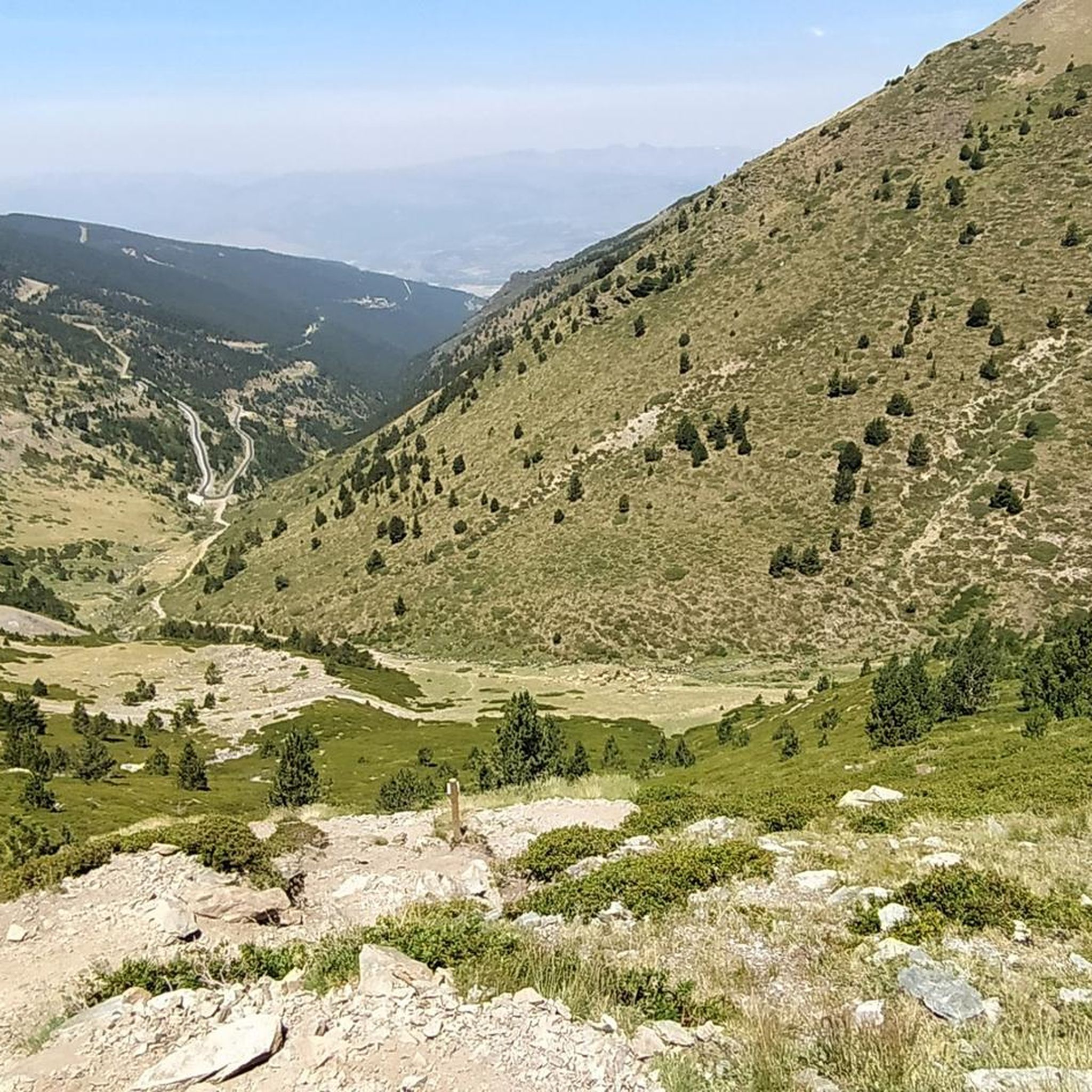
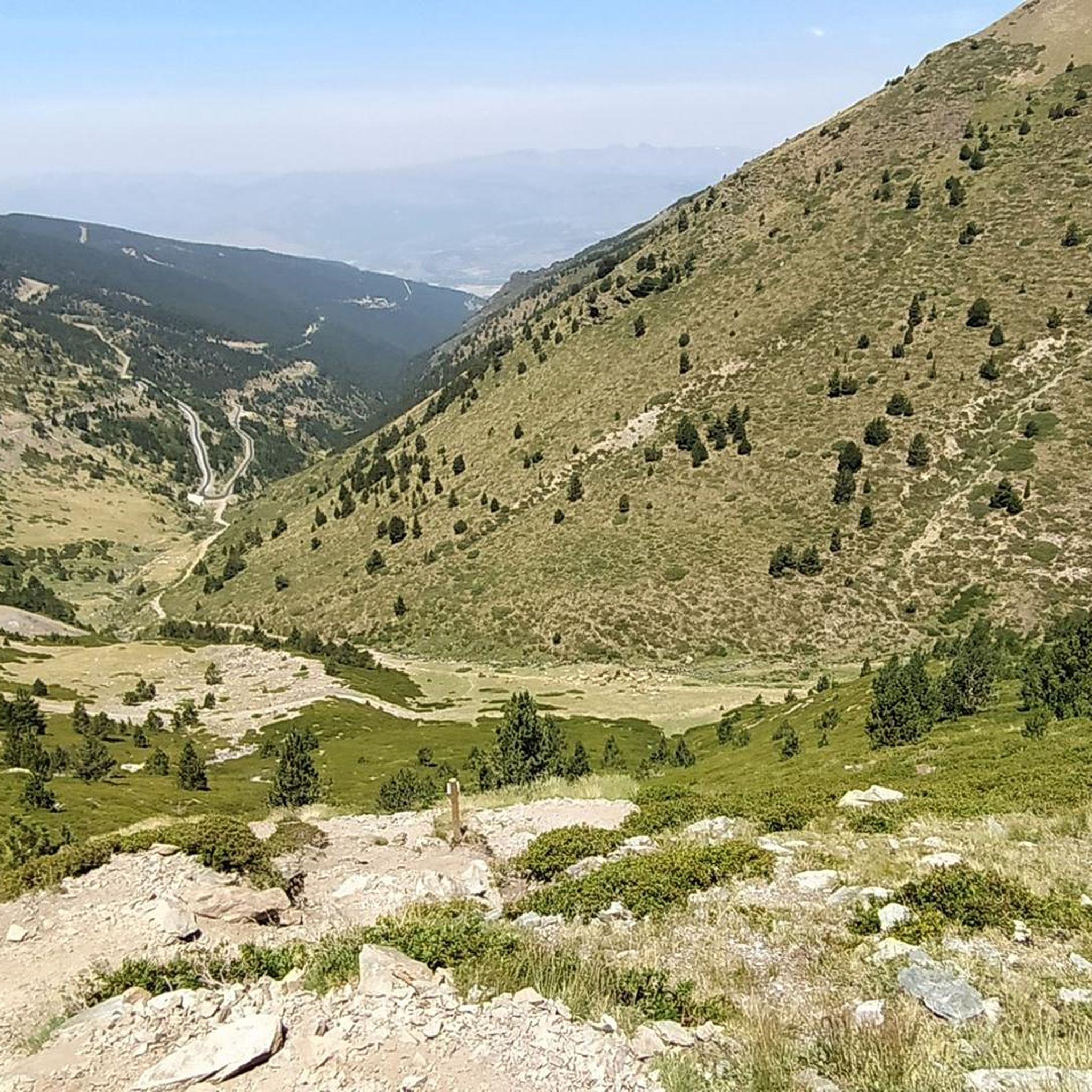
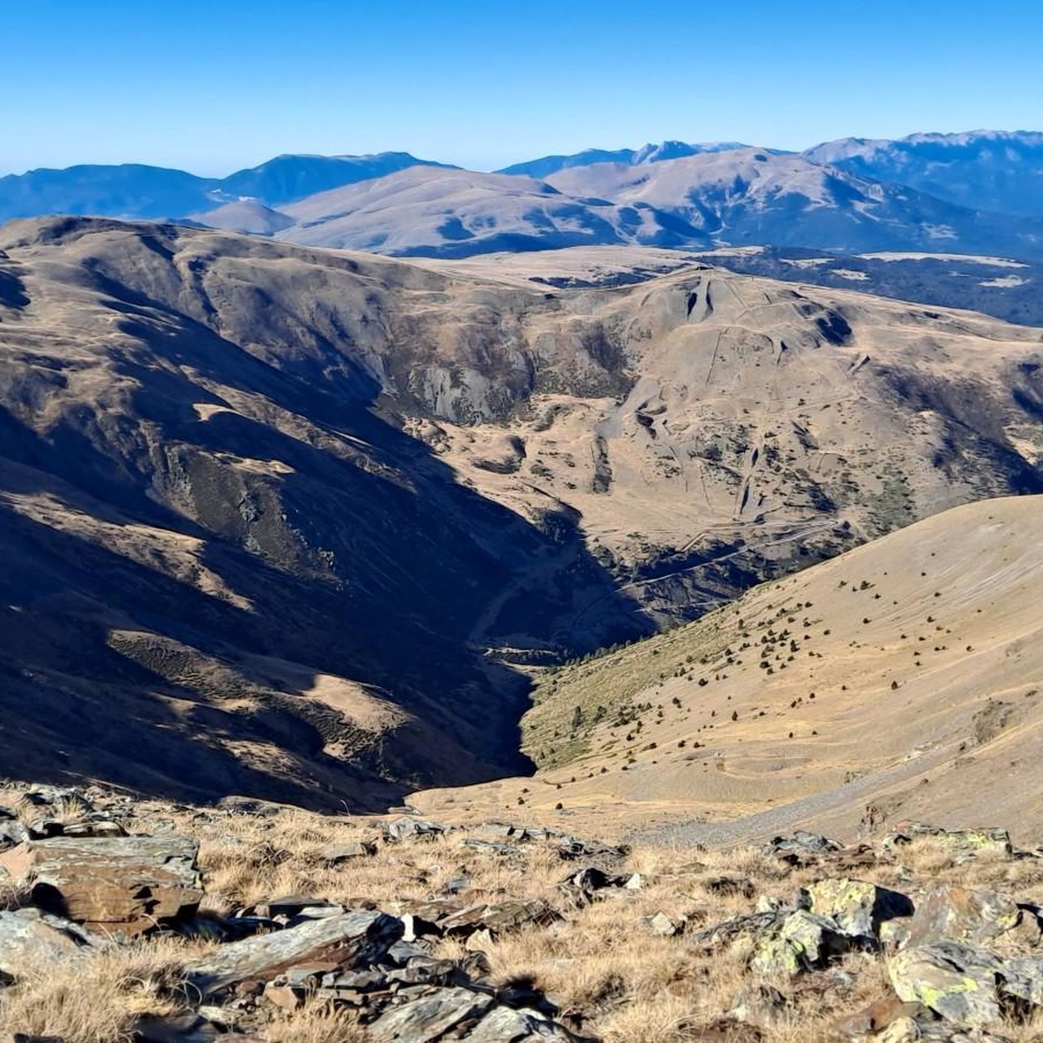
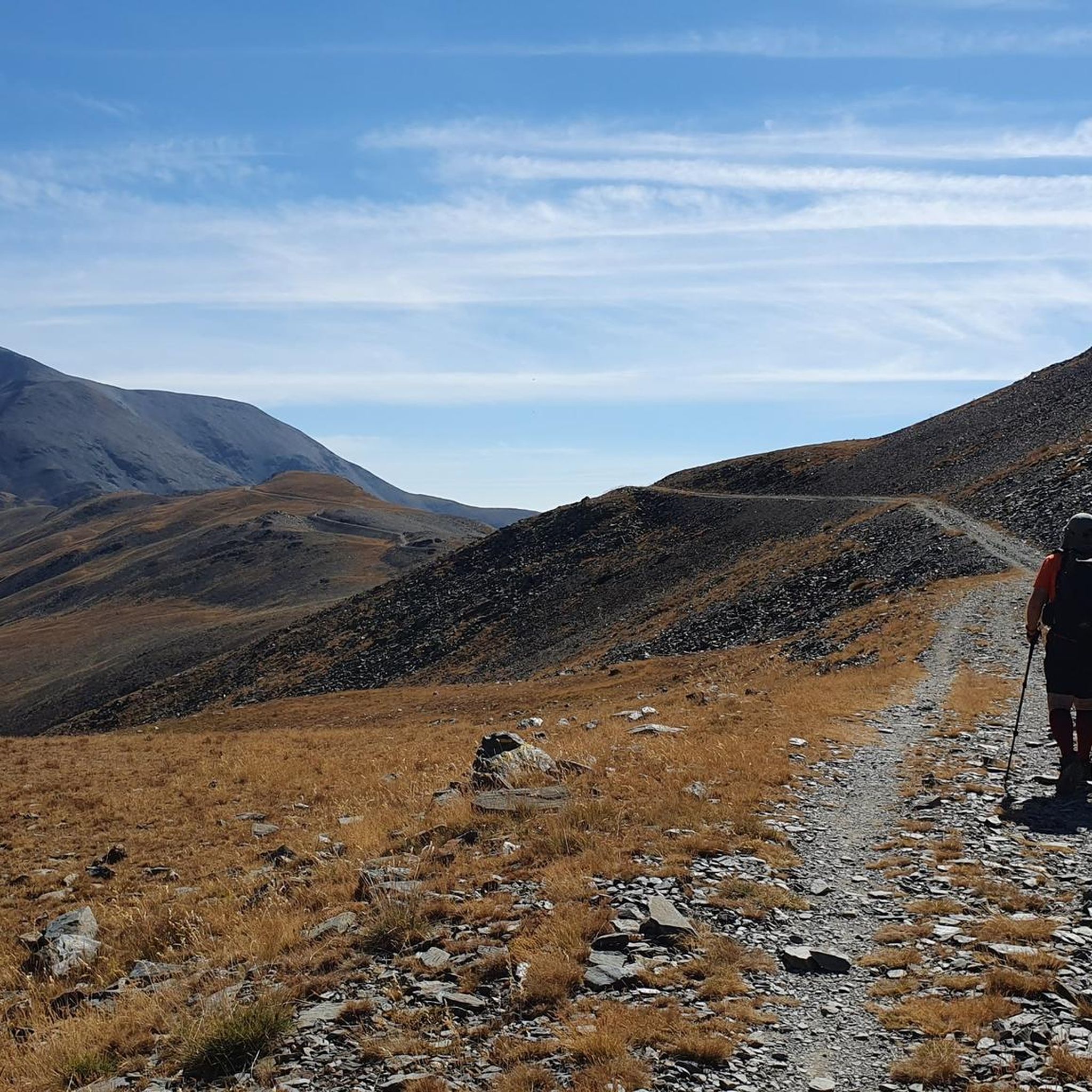
Road cycling routes around Err, situated in the Pyrenees, are characterized by mountainous terrain and significant elevation changes. The region offers routes that traverse high-altitude passes, valleys, and forested areas. Cyclists can expect demanding climbs and descents, with many routes featuring substantial vertical gain. This landscape provides a diverse environment for road cycling, from challenging mountain ascents to scenic valley rides.
Best road cycling routes around Err
- The most popular road cycling route is Backside of Envalira – Puymorens Pass…
Last updated: October 17, 2026
5.0
(1)
197
riders
153km
08:22
3,230m
3,230m
Hard road ride. Very good fitness required. Mostly well-paved surfaces and easy to ride.
4.5
(2)
150
riders
Moderate road ride. Good fitness required. Some segments of this route may be unpaved and difficult to ride.

4.5
(4)
167
riders
60.3km
02:42
580m
580m
Moderate road ride. Good fitness required. Mostly well-paved surfaces and easy to ride.
4.5
(2)
60
riders
26.5km
01:56
900m
900m
Moderate road ride. Good fitness required. Mostly well-paved surfaces and easy to ride.
2.0
(1)
100
riders
57.9km
03:26
1,340m
1,340m
Hard road ride. Very good fitness required. Mostly well-paved surfaces and easy to ride.
Get access to more routes and recommendations from other explorers.
Already have an account?
Our route recommendations are based on thousands of hikes, rides, and runs completed by other people on komoot.
Start today with a free account
Your next adventure awaits.


Tips from the Community


The only positive thing about this pass is its relatively moderate gradient. The traffic (until the road to Andorra turns off) is horrific. Hordes of motorcyclists, trucks, cars... If you can, you should avoid this pass.
2
0

A drinking water tap, near the village school, always available 365/24
1
0

Telephone box at the disused Puigmal ski resort and the Puigmal Cotze Refuge
0
0

The climb to Col de Pradelles can be done from both sides. For the descent the eastern road is slightly better, but high speed is not possible.
0
0

Although limited to 70 km/h, the tunnel is not passable by bicycle. There's even an electronic toll system.
2
0
Frequently Asked Questions
How many road cycling routes are available around Err?
There are over 100 road cycling routes around Err, offering a wide range of options for different skill levels and preferences. The komoot community has explored more than 15,000 of these routes.
What kind of terrain can I expect when road cycling around Err?
Road cycling around Err is characterized by mountainous terrain with significant elevation changes. You'll encounter demanding climbs and descents, high-altitude passes, scenic valleys, and forested areas, typical of the Pyrenees region.
Are there road cycling routes suitable for beginners in Err?
While Err is known for its challenging mountain rides, there are 13 routes classified as easy. These routes offer a gentler introduction to road cycling in the region, often featuring less elevation gain.
What are some challenging road cycling routes near Err?
For experienced cyclists seeking a challenge, the Estació Puigmal | Cotzé 1830m – Puigmal 2000 loop from Sainte-Léocadie is a difficult 32.8 km path with over 1,000 meters of elevation gain. Another demanding option is the Estació Puigmal | Cotzé 1830m – Puigmal 2000 loop from Estavar, covering 59.3 km with 1,373 meters of climbing.
Can I find circular road cycling routes in the Err area?
Yes, many road cycling routes around Err are designed as loops. For example, the Col de la Perche (1,579 m) – Llo Pass loop from Estavar is a moderate 50.3 km circular route, and the Church of Sainte-Llocaia – El Remei!! loop from Sainte-Léocadie offers a 54.0 km loop with varied terrain.
What are the best times of year for road cycling in Err?
Given Err's location in the Pyrenees, the best time for road cycling is typically from late spring through early autumn (May to October). During these months, mountain passes are generally clear of snow, and the weather is more favorable for cycling. Winter cycling can be challenging due to snow and ice, especially at higher elevations.
Are there any notable natural features or viewpoints to see along the routes?
Yes, the region offers stunning natural beauty. You can find viewpoints like Núria Viewpoint, and impressive summits such as Puigmal d'Er Summit and Pic de Finestrelles. There's also the beautiful Salt del Grill waterfall.
What do other cyclists say about road cycling in Err?
The road cycling routes around Err are highly rated by the komoot community, with an average score of 4.37 stars from over 130 reviews. Cyclists often praise the challenging climbs, the stunning Pyrenean landscapes, and the variety of routes available.
Are there any long-distance road cycling options from Err?
Yes, for those looking for longer rides, the Backside of Envalira – Puymorens Pass loop from Err is a substantial 152.9 km route with over 3,200 meters of elevation gain, making it a full-day adventure.
Where can I find places to rest or refuel during a ride?
The Err area, being in the Pyrenees, has several huts and refuges that can serve as rest stops. Options include Coma de Vaca Refuge, Pic de l'Àliga Hostel, and Gîte-Auberge de Cal Pai. These can be good spots for a break or to refuel.
Are there specific attractions or landmarks I can visit while cycling?
Beyond the natural features, the region offers cultural points of interest. While specific cycling-friendly attractions are not detailed, the presence of ski resorts like Estació de muntanya Vall de Núria and Les Bains de Llo suggests a blend of natural and recreational landmarks in the broader area.
How can I access the road cycling routes in Err using public transport or parking?
While specific details on public transport directly to trailheads are not provided, Err is a village in the Pyrenees, and parking facilities are generally available in and around such locations for visitors. For routes starting from nearby towns like Estavar or Sainte-Léocadie, local parking options would be the primary access point.
Most popular attractions around Err

Get inspired with the komoot mobile app


Explore more
Browse the best Road cycling routes in other regions.
