The best running trails around Mercury
4.8
(22)
2,313
runners
30
runs
Jogging routes around Mercury are characterized by challenging uphill climbs and scenic mountain passes. The region features varied terrain, including elevated trails leading to points like Collet de Tamié and La Belle-Étoile. Runners can expect significant elevation changes across its diverse landscape, offering demanding yet rewarding running experiences.
Best jogging routes around Mercury
- The most popular jogging route is La Belle-Étoile loop from Plancherine, a difficult 5.0 miles (8.0 km) trail that takes 1 hour 54 minutes to complete,…
Last updated: August 13, 2026
100
runners
7.99km
01:54
810m
810m
Hard run. Very good fitness required. Sure-footedness, sturdy shoes and alpine experience required.
69
runners
4.95km
01:19
560m
560m
Hard run. Very good fitness required. Sure-footedness, sturdy shoes and alpine experience required.

Sign up for free
5.0
(2)
68
runners
9.09km
01:21
470m
470m
Hard run. Very good fitness required. Mostly paved surfaces. Suitable for all skill levels.
43
runners
20.0km
03:33
1,330m
1,330m
Hard run. Very good fitness required. Sure-footedness, sturdy shoes and alpine experience required.
33
runners
6.85km
01:39
690m
690m
Hard run. Very good fitness required. Sure-footedness, sturdy shoes and alpine experience required.
Get access to more routes and recommendations from other explorers.
Sign up for free
Already have an account?
Our route recommendations are based on thousands of hikes, rides, and runs completed by other people on komoot.
Start today with a free account
Your next adventure awaits.
Login or Signup
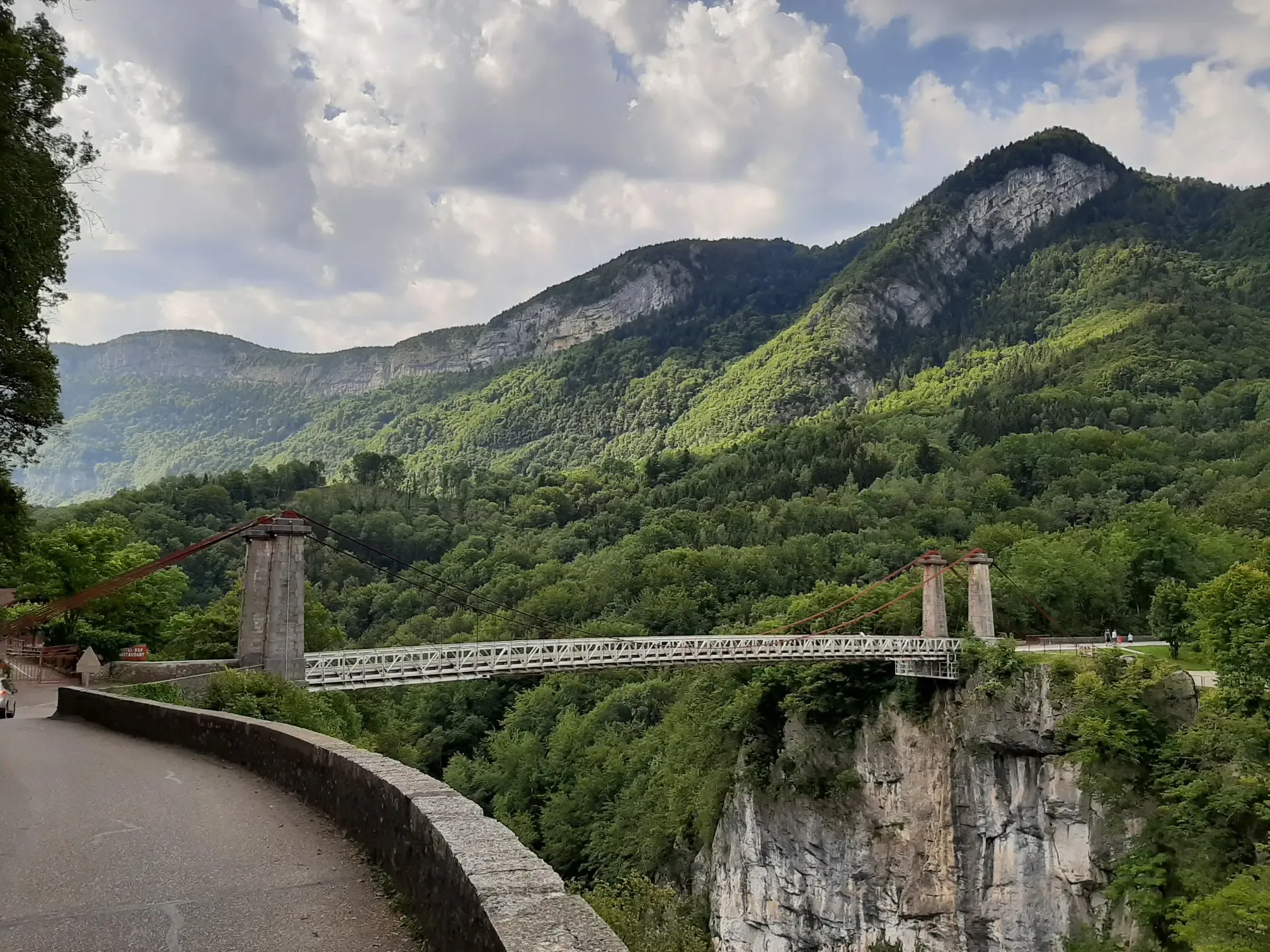
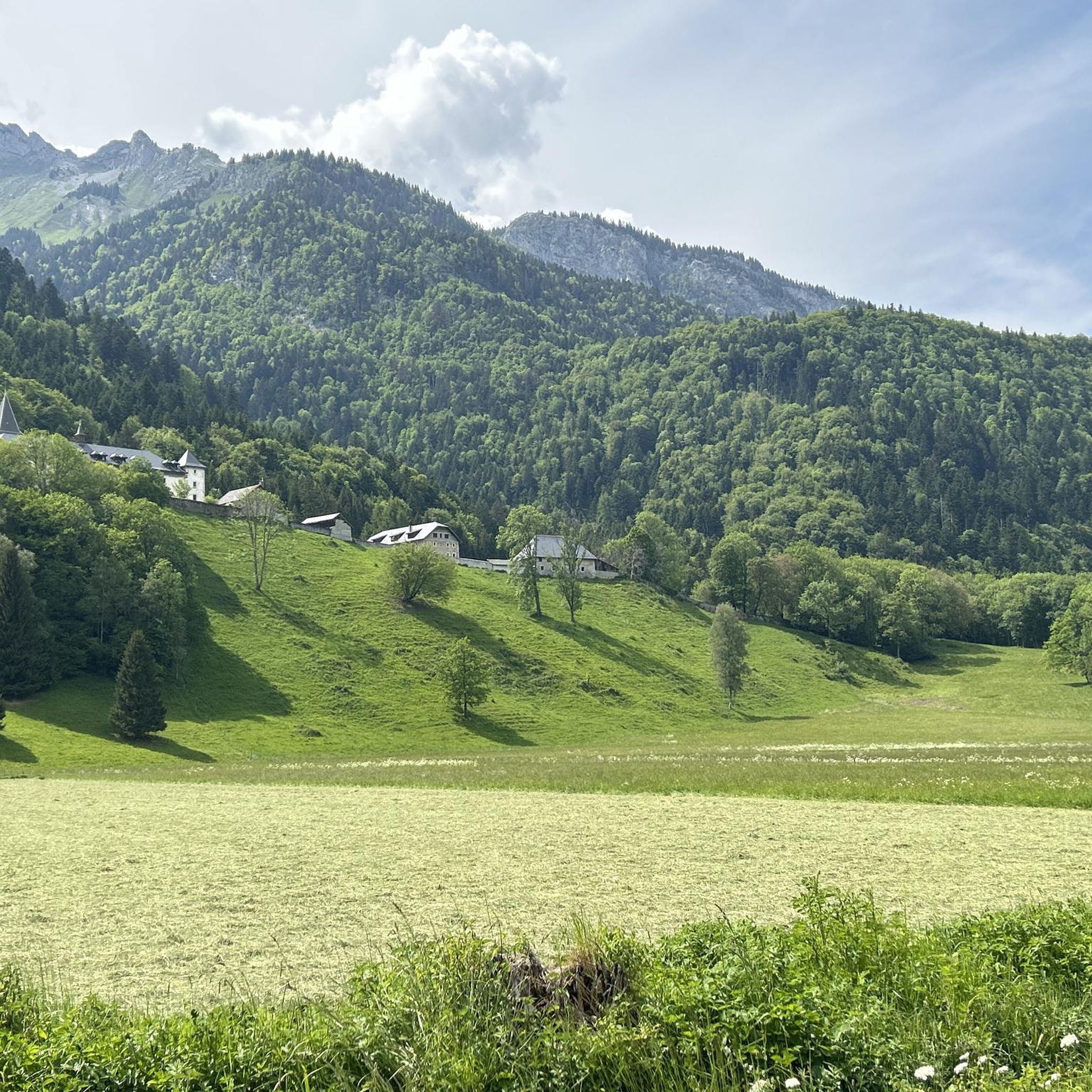
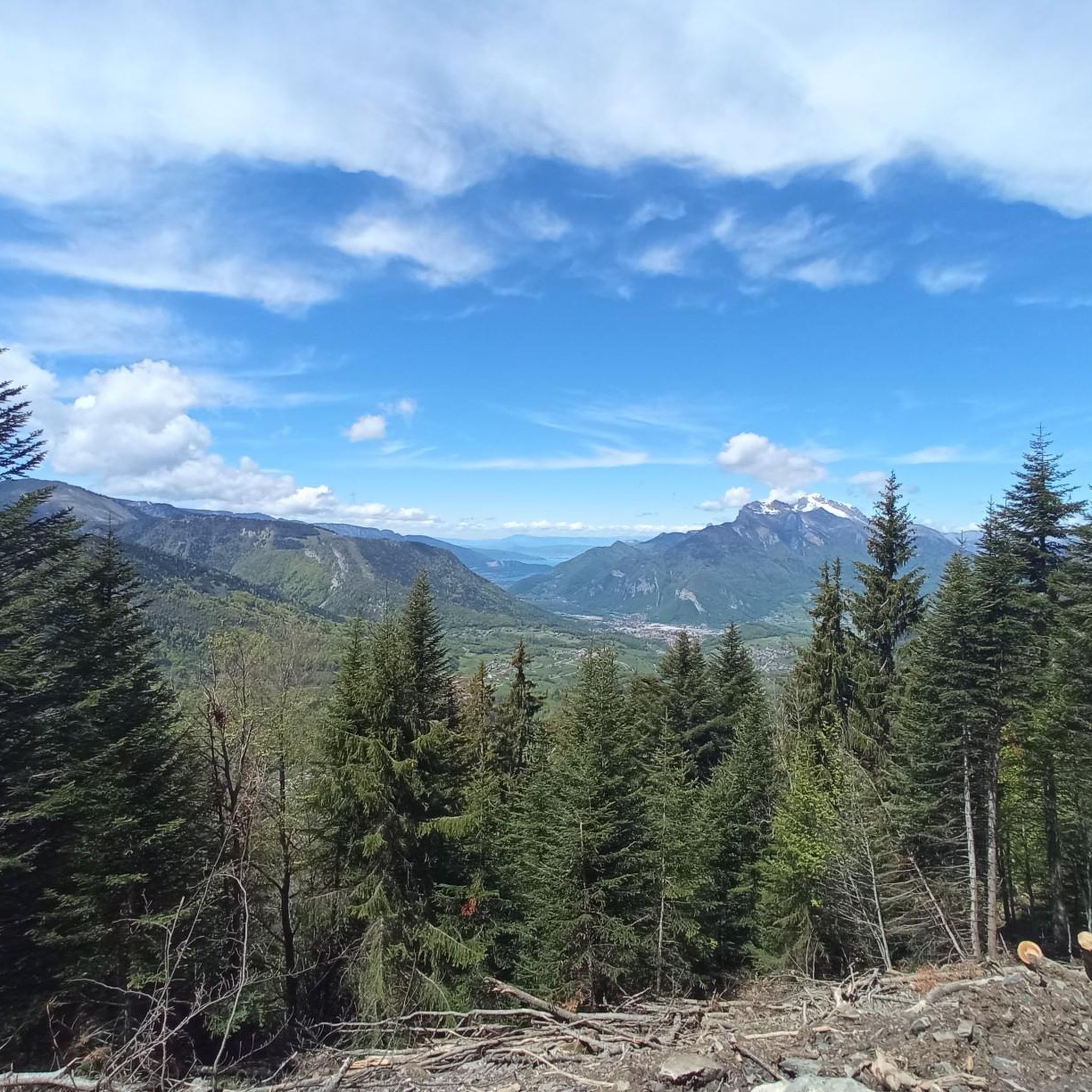
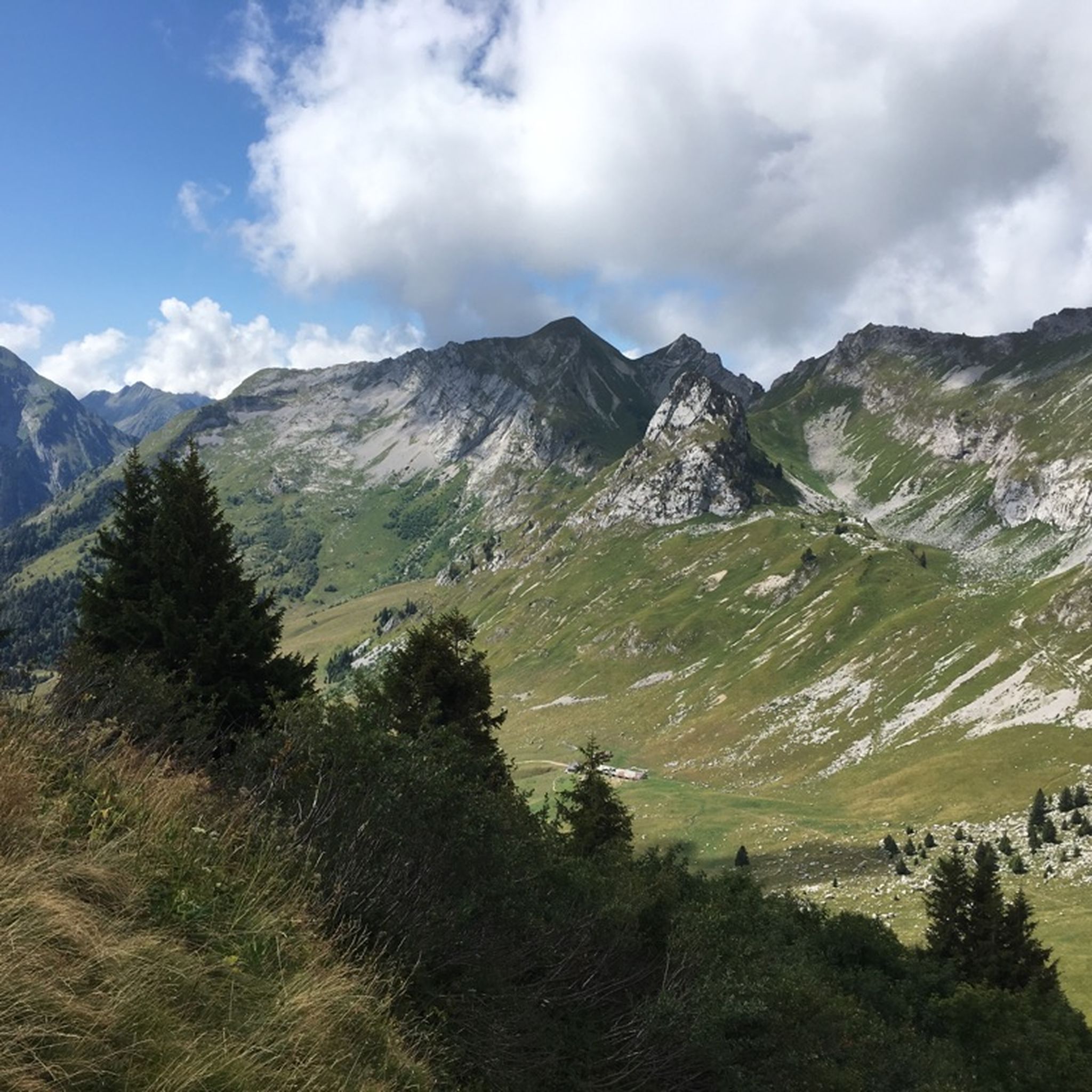


Other adventures around Mercury

Tips from the Community


Enjoy some altitude gain in beautiful surroundings!
0
0

Amazing views on mount blanc, lac d’ annecy and more beautiful landscape! 😍 Attention, only take the path across the ridge to the chalet de L’Alpettaz if you are a really experienced hiker and like to get some adrenaline. It is super narrow and partly really dangerous. After finishing the dangerous part there is high grass through which the hike continues.
1
0

A hill with a lot of traffic, better on roads that run parallel.
0
0

Chalet under renovation but part of it nevertheless provides shelter.
0
0
Access is quite physical but you are largely rewarded by the sumptuous 360° landscapes once at the top 🤩
1
0

Located at an altitude of 907 meters, this pass is located in the Bauges massif, in the town of Plancherine. It separates the valley of Savoie and Albertville from the Faverges valley and Lake Annecy.
2
0

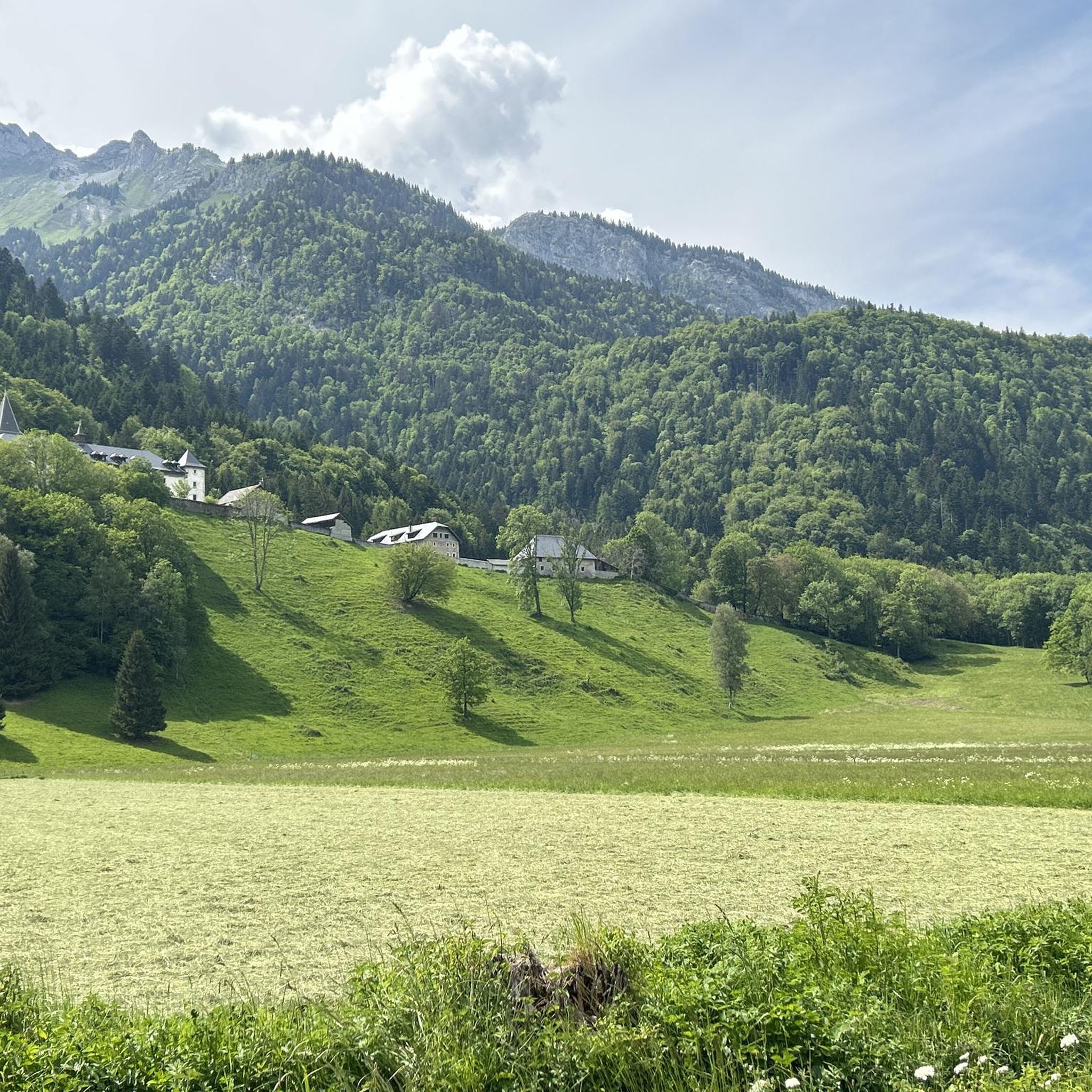
Incredibly beautiful mountain valley like a park.
2
0
Frequently Asked Questions
Can I actually go jogging on the planet Mercury?
No, jogging on the planet Mercury is not possible. The planet Mercury has an extremely hostile environment with temperatures ranging from 430 degrees Celsius (800 degrees Fahrenheit) during the day to -180 degrees Celsius (-290 degrees Fahrenheit) at night. It also lacks a breathable atmosphere and is exposed to intense solar radiation, making any outdoor activity, including jogging, impossible for humans. This guide refers to a terrestrial region named Mercury, known for its challenging mountain running trails.
How many jogging routes are available in the Mercury region?
There are over 25 jogging routes available in the Mercury region. These routes are primarily designed for experienced runners, featuring significant elevation changes and challenging terrain.
What kind of terrain can I expect on running trails around Mercury?
The running trails around Mercury are characterized by challenging uphill climbs and scenic mountain passes. You can expect varied terrain, including elevated trails leading to points like La Belle-Étoile and Tamié Pass, offering demanding yet rewarding running experiences.
Are there any easy or beginner-friendly jogging routes in Mercury?
The jogging routes in Mercury are primarily designed for experienced runners seeking demanding trails. Out of the over 25 available routes, none are classified as easy, and 9 are considered moderate, while 18 are difficult. Beginners might find the elevation changes and terrain quite challenging.
What do other runners say about the jogging routes in Mercury?
The jogging routes in Mercury are highly rated by the komoot community, with an average score of 4.6 stars from over 19 reviews. More than 2000 runners have used komoot to explore Mercury's varied terrain, often praising the challenging mountain passes and elevated viewpoints.
Are there any circular running routes available?
Yes, many of the running routes in Mercury are circular. For instance, the popular Collet de Tamié (960 m) – Tamié Pass loop from Mercury is a difficult 9.1 km path, and the Col de Tamié – La Belle-Étoile loop from Mercury is a longer 19.9 km trail leading through mountain passes.
What are some notable landmarks or attractions I can see near the running trails?
Near the running trails, you can find several notable landmarks and attractions. These include mountain passes like Col de l'Arpettaz, Tamié Pass, and Chérel Pass. You might also encounter the summit of La Belle-Étoile and the historic Notre-Dame de Tamié Abbey.
Are there any routes that offer significant elevation gain?
Absolutely. The Mercury region is known for its significant elevation changes. For example, the La Belle-Étoile loop from Plancherine features over 800 meters of elevation gain, and the Col de Tamié – La Belle-Étoile loop from Mercury involves over 1300 meters of ascent.
What is the longest running route available in Mercury?
One of the longest running routes is the Col de Tamié – La Belle-Étoile loop from Mercury, which spans 19.9 kilometers (12.4 miles) and typically takes around 3 hours 32 minutes to complete.
Can I find routes that pass through specific mountain passes?
Yes, many routes in Mercury incorporate mountain passes. The Collet de Tamié (960 m) – Tamié Pass loop from Mercury specifically takes you through the Tamié Pass, offering a challenging ascent and varied terrain.
Are there any routes that combine different scenic points?
Yes, routes like the Collet de Tamié (960 m) – La Belle-Étoile loop from Mercury combine multiple scenic points, including the Collet de Tamié and the summit of La Belle-Étoile, providing diverse views and a challenging experience over 13.2 kilometers.
Most popular routes around Mercury
Most popular attractions around Mercury

Get inspired with the komoot mobile app


Explore more
Browse the best Running Trails & Routes in other regions.
