The best mountain hikes around Mercury
4.6
(9)
106
hikers
8
hikes
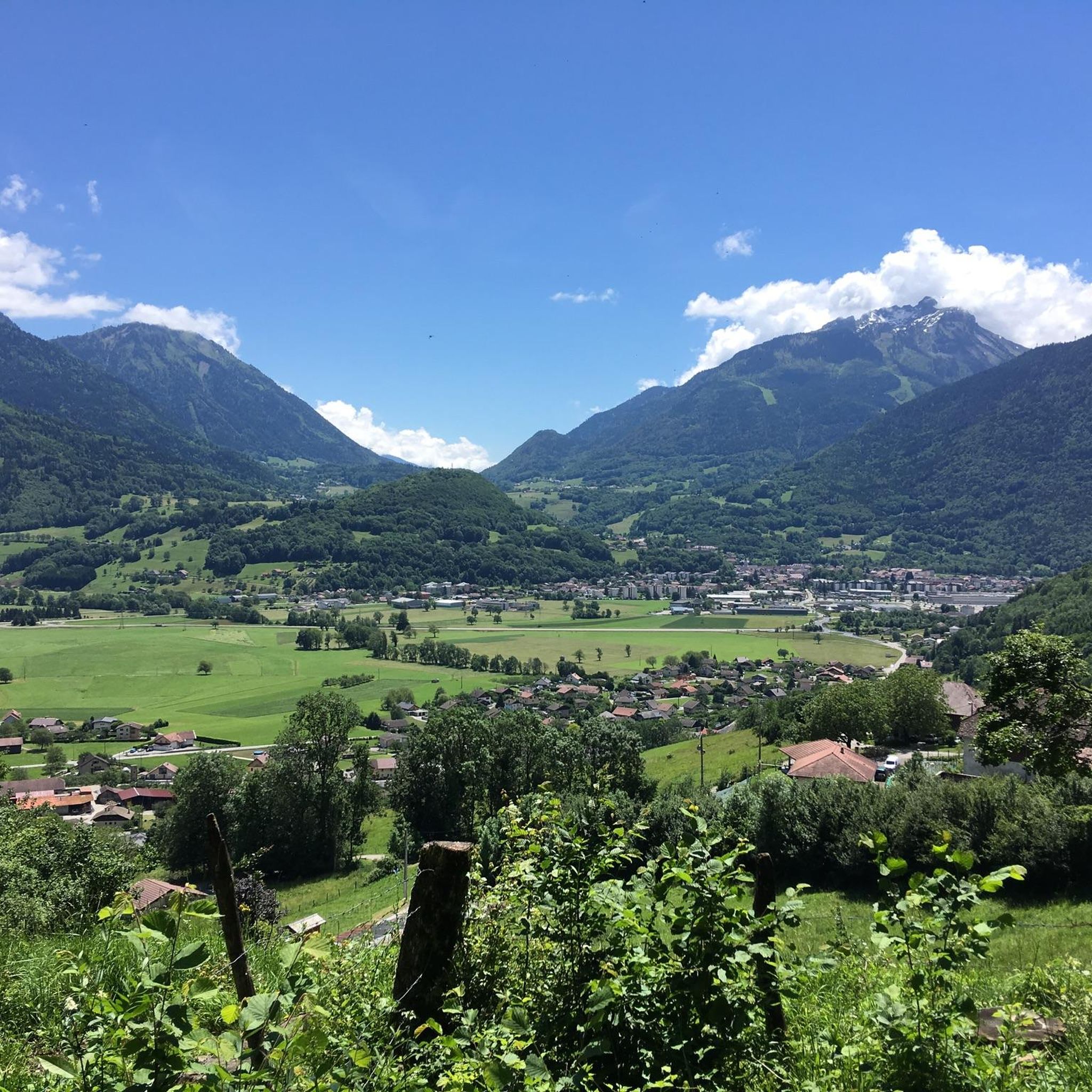
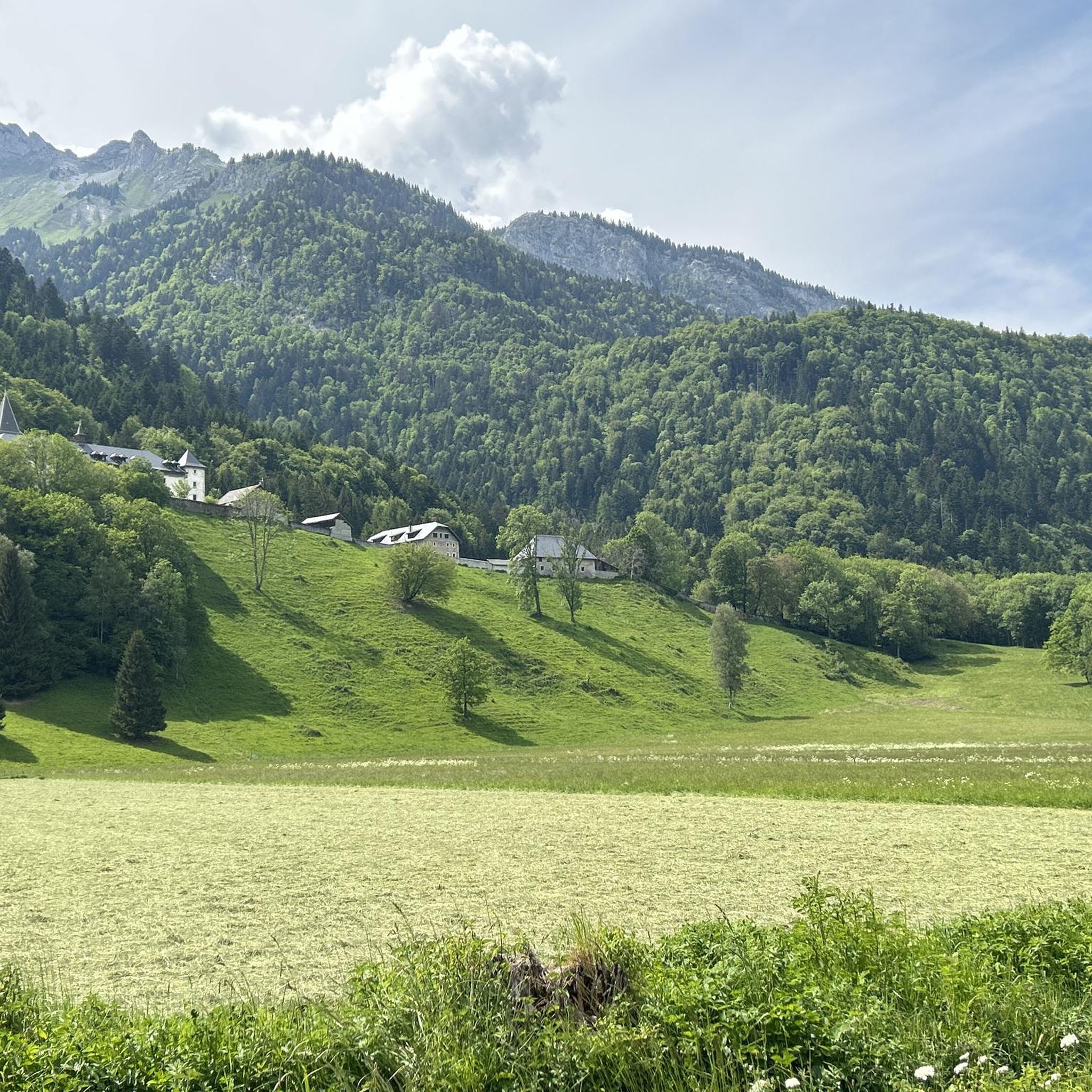
Mountaineering routes around Mercury traverse a diverse alpine landscape characterized by challenging peaks, high mountain passes, and forested valleys. The region offers varied terrain suitable for experienced mountaineers seeking elevation gains and technical sections. These routes often feature exposed ridges and panoramic views of the surrounding mountain ranges.
Best mountaineering routes around Mercury
- The most popular mountaineering route is Mountain Cow loop from Seythenex, a 6.0 miles (9.7 km) trail that takes about 4 hours 30 minutes to complete.…
Last updated: August 21, 2026
3.0
(1)
33
hikers
9.71km
04:33
920m
920m
Hard mountaineering route. Very good fitness required. Mostly accessible paths. Sure-footedness required.
9
hikers
12.3km
05:20
990m
990m
Hard mountaineering route. Very good fitness required. Sure-footedness, sturdy shoes and alpine experience required.

Sign up for free
5.0
(1)
8
hikers
6.05km
03:44
690m
690m
Moderate mountaineering route. Good fitness required. Mostly accessible paths. Sure-footedness required.
5.0
(1)
8
hikers
15.8km
07:19
1,200m
1,200m
Hard mountaineering route. Very good fitness required. Sure-footedness, sturdy shoes and alpine experience required.
3
hikers
7.71km
04:33
820m
810m
Hard mountaineering route. Good fitness required. Sure-footedness, sturdy shoes and alpine experience required.
Get access to more routes and recommendations from other explorers.
Sign up for free
Already have an account?
Our route recommendations are based on thousands of hikes, rides, and runs completed by other people on komoot.
Start today with a free account
Your next adventure awaits.
Login or Signup
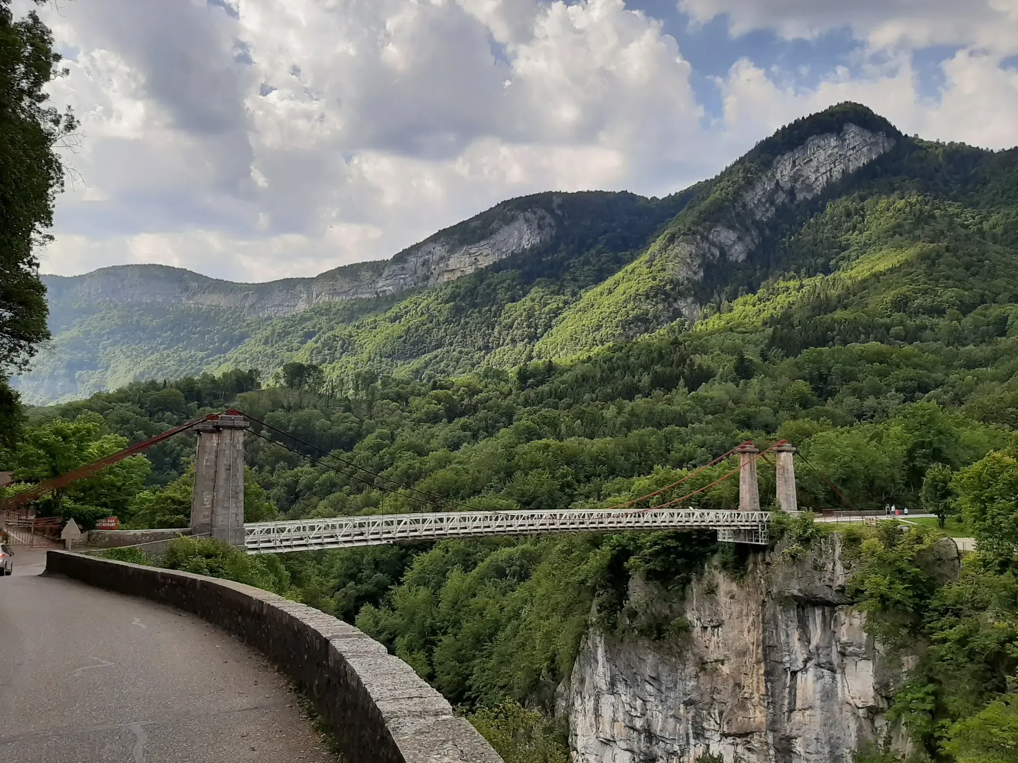
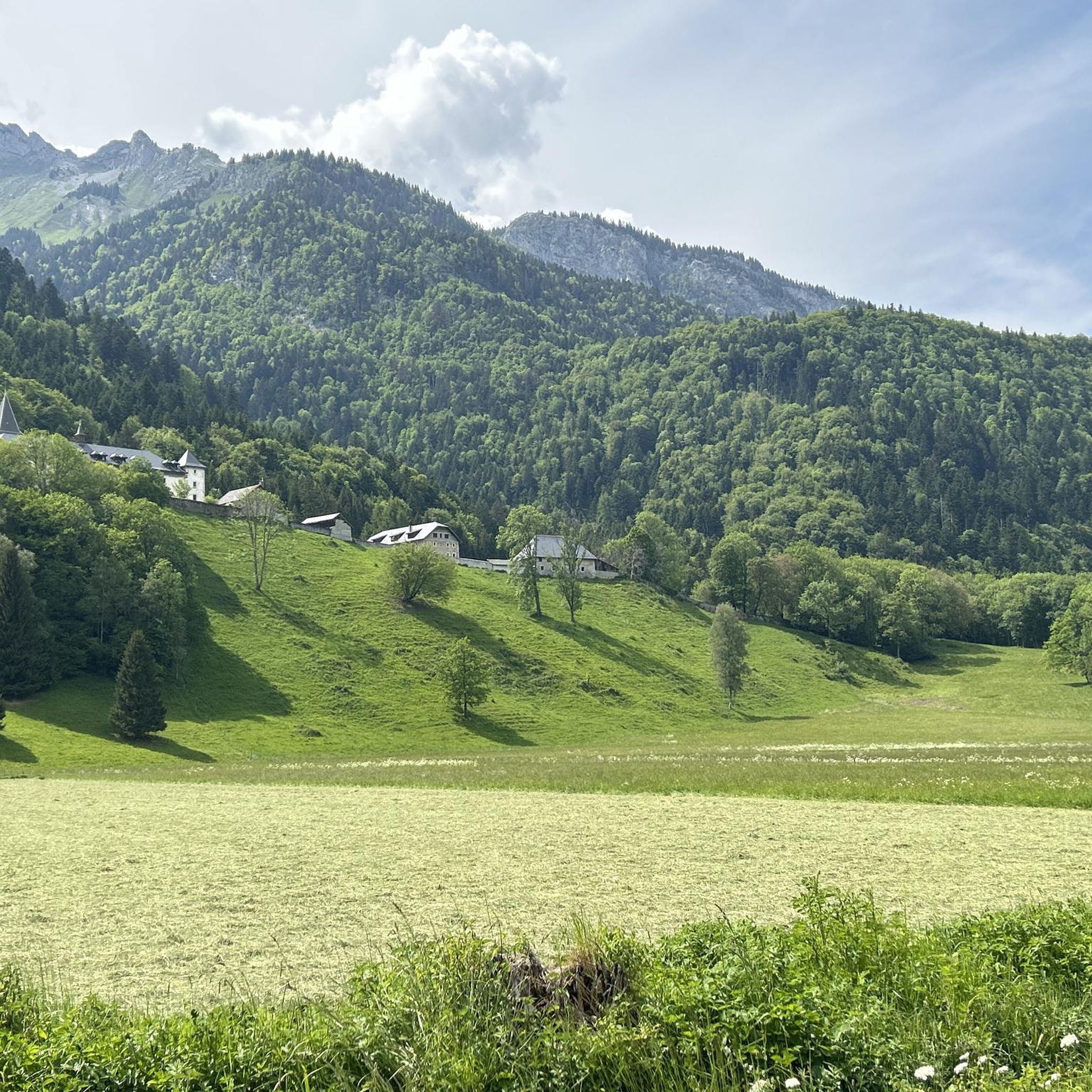
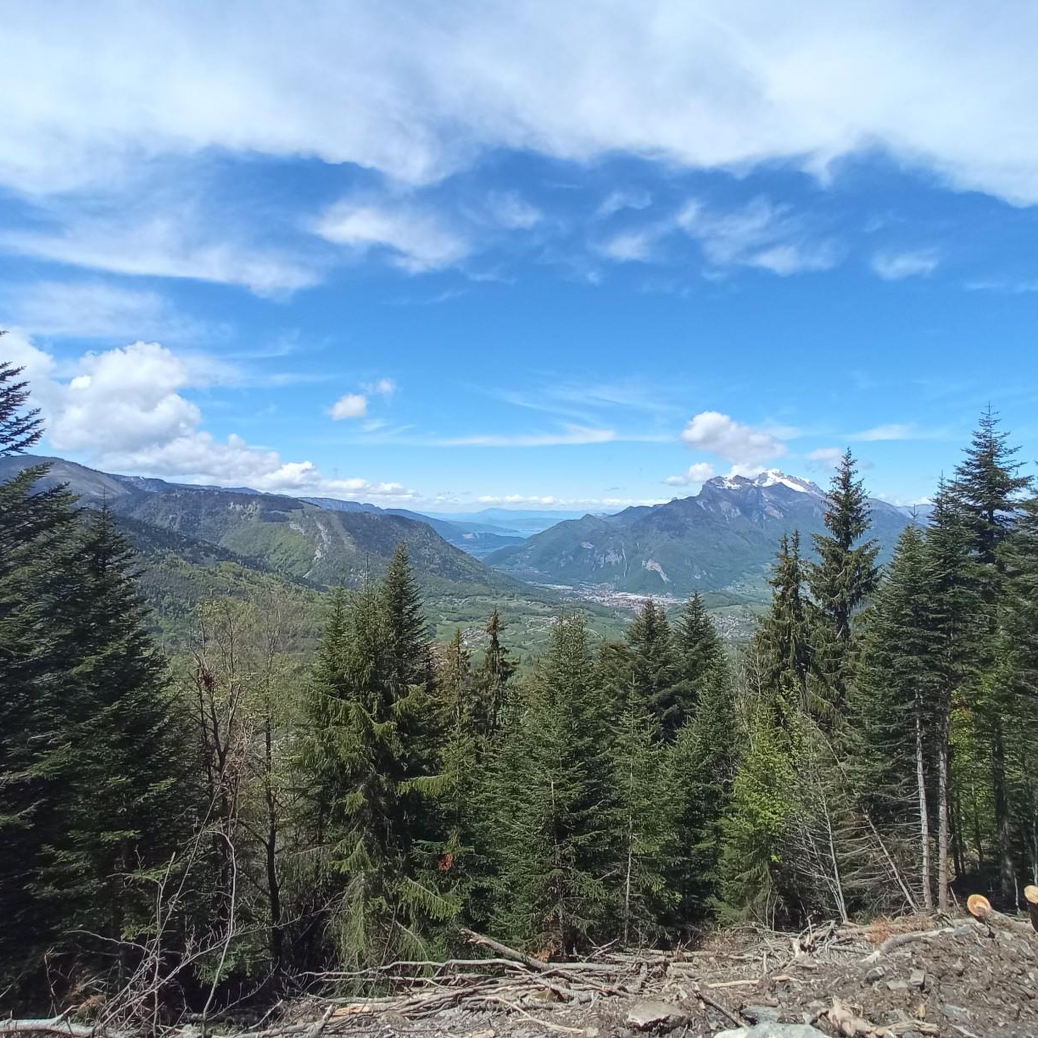
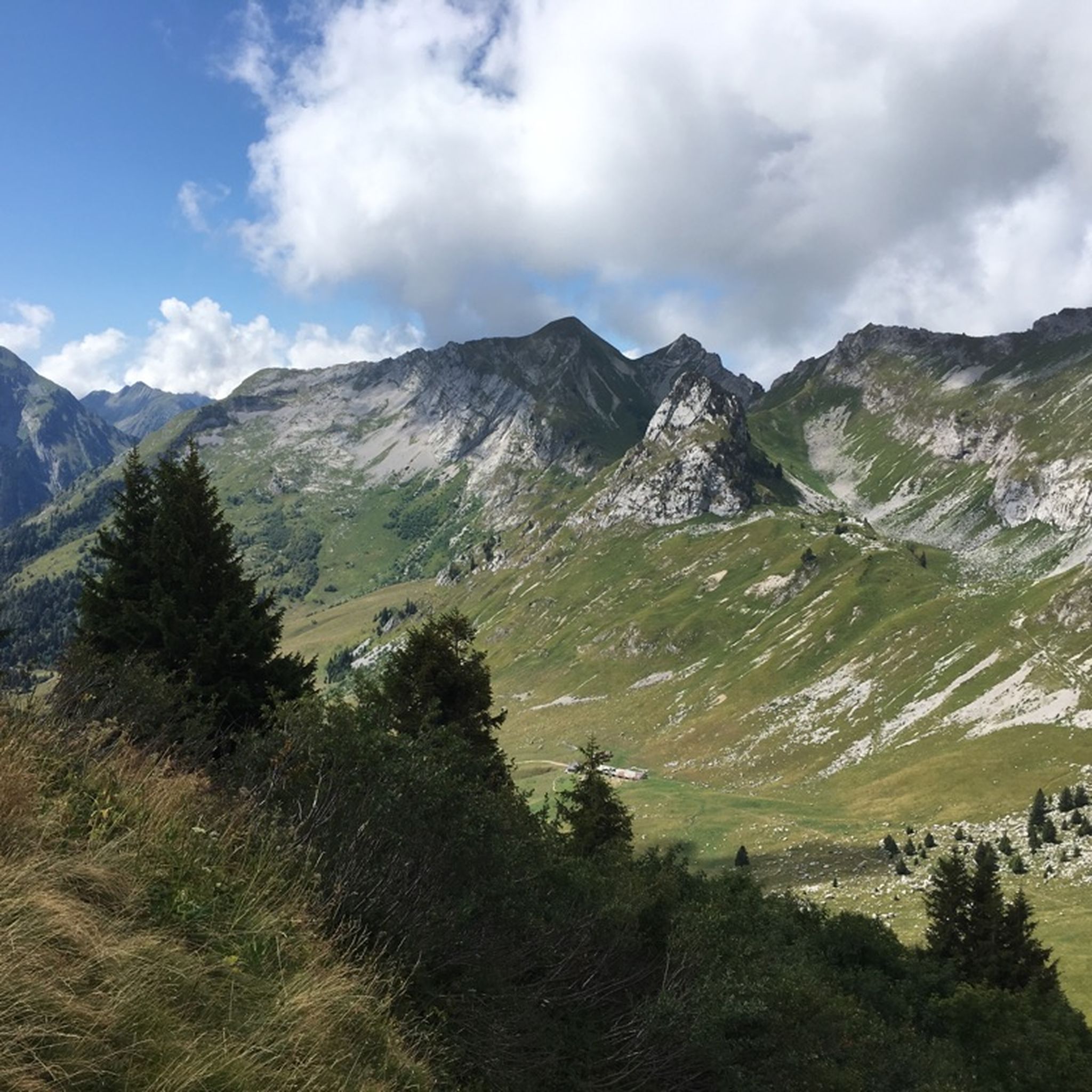

Other adventures around Mercury

Tips from the Community

A pass in the heart of the Bauges Massif, the core zone of the nature reserve, with beautiful views, including the Arcalod, the highest peak of the massif, with good chances of spotting marmots below.
0
0

Amazing views on mount blanc, lac d’ annecy and more beautiful landscape! 😍 Attention, only take the path across the ridge to the chalet de L’Alpettaz if you are a really experienced hiker and like to get some adrenaline. It is super narrow and partly really dangerous. After finishing the dangerous part there is high grass through which the hike continues.
1
0

Located on the heights of Lake Annecy, this family-friendly resort is open winter and summer. Among the sports facilities are cycling trails that lead to discovering local heritage and expertise.
0
0

As you climb the challenging trail to the top of Petite Sambuy, you’ll be rewarded with breathtaking panoramic views across the Tarentaise Valley. This iconic peak, nestled in the heart of the magnificent French Alps, offers a truly awe-inspiring experience. From the summit, you’ll be able to admire the snow-capped mountains, picturesque villages and winding rivers that characterise the region.
0
0

Access is quite physical but you are largely rewarded by the sumptuous 360° landscapes once at the top 🤩
1
0

An incredible view! Relatively aerial trail with a few wired passages. But this ridge is worth the detour! Be careful though, you will necessarily want to follow it to the Belle Étoile
0
0

Very nice view with an outstanding 360° Alpine panorama! Coming from the north via Le pas de l'âne, don't underestimate the difficulty of the ridge. At the end of February there was still a lot of snow and the fuses are not in place over the entire length. In parts, the hike has more of a via ferrata character. The ridge is sometimes very narrow and it feels like several hundred meters down to the left and right. But if you are prepared for it and are used to challenging terrain, then it is a super nice hike and absolutely recommendable!
0
0

A beautiful view of the Mont Blanc Massif
0
0
Frequently Asked Questions
Is there a place called Mercury with mountaineering routes on Earth?
Yes, the komoot guide refers to a terrestrial region named Mercury, which offers a variety of mountaineering routes. The routes traverse diverse alpine landscapes with challenging peaks, high mountain passes, and forested valleys. This is distinct from the planet Mercury, which is not suitable for outdoor activities.
How many mountaineering routes are available in the Mercury region?
There are over 10 mountaineering routes available in the Mercury region, ranging from moderate to difficult. These routes are highly rated by the komoot community, with an average score of 4.6 stars.
Are there any easy mountaineering routes for beginners in Mercury?
The mountaineering routes in Mercury are generally designed for experienced individuals. While there are no routes classified as 'easy', there are 4 routes considered 'moderate' which might be suitable for beginners with some prior experience and good physical condition. For example, the Mountain Cow loop from Seythenex is a moderate trail offering significant elevation gain through varied mountain terrain.
What are some challenging mountaineering routes in Mercury?
For experienced mountaineers seeking a challenge, Mercury offers 7 difficult routes. A notable option is the Pointe de l'Arcalod – Orgeval Pass loop from Seythenex, a 9.8-mile (15.8 km) trail through high alpine terrain, typically taking over 7 hours to complete. Another challenging option is the Dent of Cons – Alpettaz Pass loop from Fort de la batterie Marthod.
Are there any circular mountaineering routes in Mercury?
Yes, many of the mountaineering routes in Mercury are circular. For instance, the Mountain Cow loop from Seythenex and the Col d'Orgeval loop from Réserve biologique intégrale du Haut Chéran are both popular circular options, allowing you to start and end at the same point.
What is the typical duration for mountaineering routes in Mercury?
The duration of mountaineering routes in Mercury varies depending on the trail's length and difficulty. Moderate routes like the Mountain Cow loop can take around 4 hours 30 minutes, while more difficult and longer trails, such as the Pointe de l'Arcalod – Orgeval Pass loop, can extend to over 7 hours 20 minutes.
What do other mountaineers enjoy most about the Mercury region?
The Mercury region is highly rated by the komoot community, with an average score of 4.6 stars from over 9 reviews. Mountaineers often praise the diverse alpine landscape, the challenging peaks, and the rewarding panoramic views from high mountain passes. The variety of terrain, from forested valleys to exposed ridges, also contributes to its appeal.
What kind of landmarks or attractions can I see along the mountaineering routes in Mercury?
The Mercury region offers several interesting landmarks and natural features. You can encounter impressive mountain passes such as Col de l'Arpettaz and Tamié Pass. There are also prominent peaks like La Belle-Étoile and Dent of Cons, offering stunning views.
Are there any religious sites or cultural points of interest near the mountaineering trails?
Yes, near the mountaineering trails, you can find cultural points of interest such as the Notre-Dame de Tamié Abbey, which offers a glimpse into the region's heritage and provides a peaceful contrast to the rugged mountain environment.
Is there information about parking availability for the mountaineering trails in Mercury?
Specific parking information for individual trailheads is not detailed in this guide. However, routes often start from villages or designated areas like Seythenex or Réserve biologique intégrale du Haut Chéran, where parking facilities are typically available. It's advisable to check local signage or community information for precise parking locations before your trip.
Do I need permits for mountaineering in the Mercury region?
This guide does not specify permit requirements for mountaineering in the Mercury region. It is always recommended to check with local authorities or park management for any necessary permits or regulations, especially when venturing into protected areas or attempting more challenging routes.
Most popular routes around Mercury
Most popular attractions around Mercury

Get inspired with the komoot mobile app


Explore more
Browse the best Mountain Hikes & Routes in other regions.
